Warpsgrove
Settlement in Oxfordshire South Oxfordshire
England
Warpsgrove
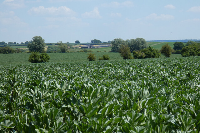
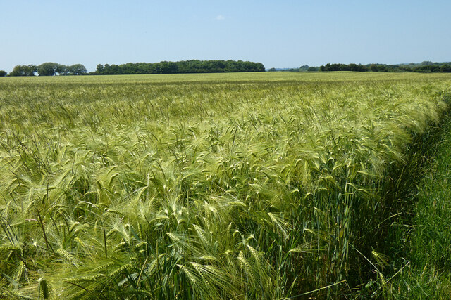
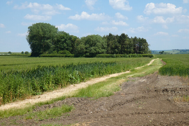
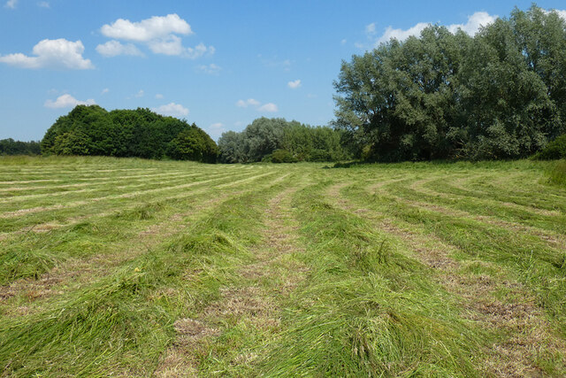
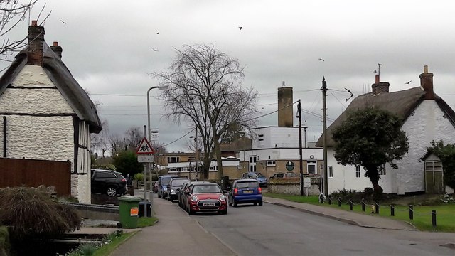
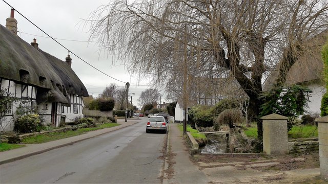
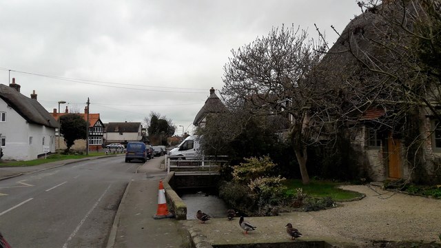
Warpsgrove is a small village located in Oxfordshire, England. Situated about 10 miles southeast of Oxford, it is nestled in the picturesque countryside of the South East England region. The village is known for its peaceful and idyllic setting, surrounded by rolling hills and lush green fields.
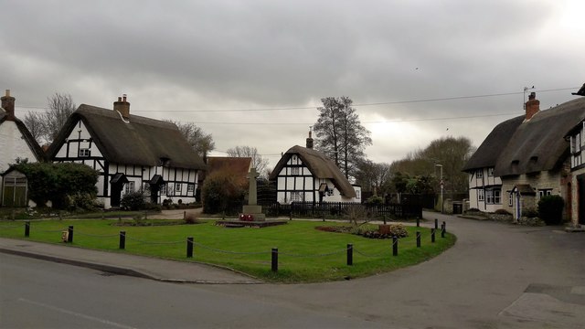
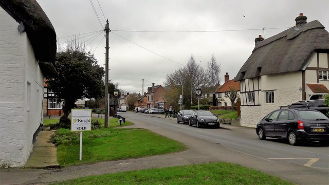
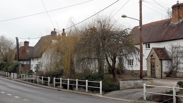
Warpsgrove has a long and rich history dating back to medieval times. It is mentioned in the Domesday Book of 1086, where it is recorded as "Wapresgrave." Over the years, the village has retained its traditional charm, with many well-preserved historic buildings and cottages lining its streets.
Despite its small size, Warpsgrove is home to a tight-knit community that takes pride in preserving its heritage. The village church, St. James the Great, is a notable landmark with its stunning architecture and stained glass windows. The local pub, The Warpsgrove Inn, is a popular gathering spot, offering a warm and friendly atmosphere where villagers and visitors can enjoy a pint or a delicious meal.
The surrounding countryside provides ample opportunities for outdoor activities, such as walking, cycling, and horseback riding. The nearby Warpsgrove Park is a beautiful estate with expansive gardens and woodlands, perfect for leisurely strolls or picnics.
Though small in size, Warpsgrove offers a peaceful escape from the hustle and bustle of city life, showcasing the beauty of rural Oxfordshire and providing a glimpse into the area's rich history.
If you have any feedback on the listing, please let us know in the comments section below.
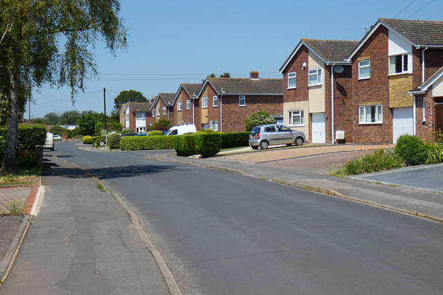
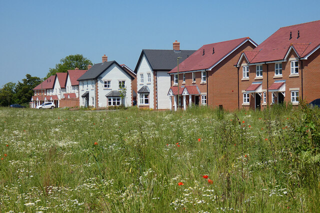
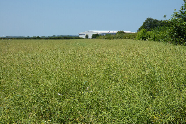
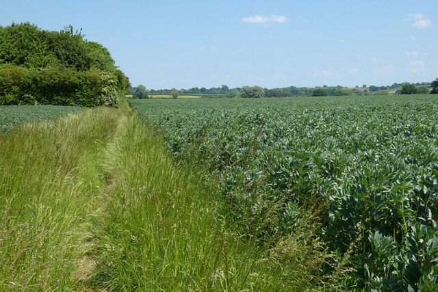
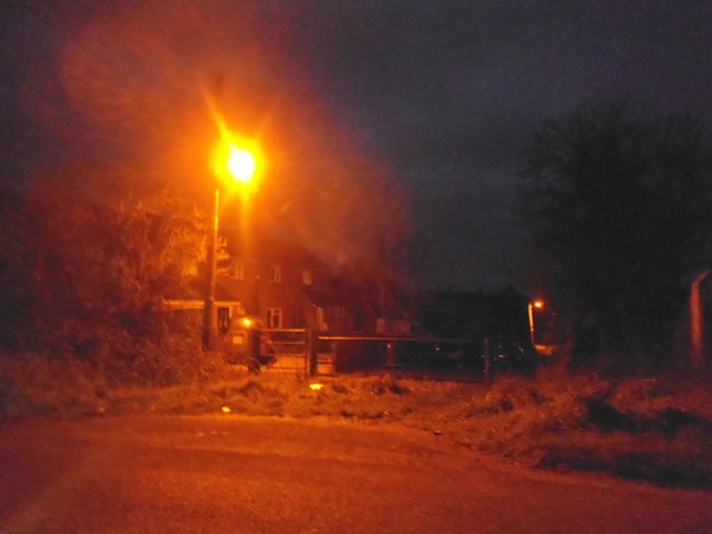
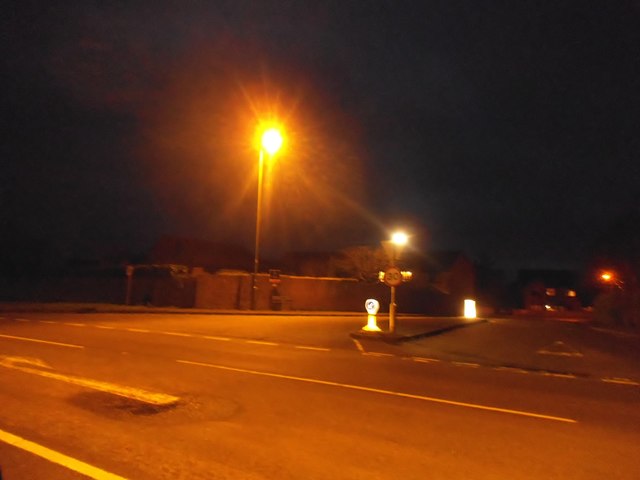
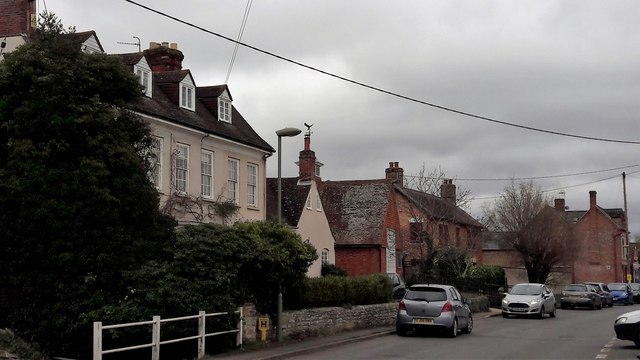
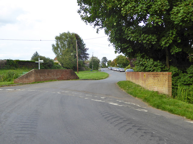
Warpsgrove Images
Images are sourced within 2km of 51.679226/-1.06274 or Grid Reference SU6498. Thanks to Geograph Open Source API. All images are credited.
Warpsgrove is located at Grid Ref: SU6498 (Lat: 51.679226, Lng: -1.06274)
Administrative County: Oxfordshire
District: South Oxfordshire
Police Authority: Thames Valley
What 3 Words
///culminate.encounter.loopholes. Near Chalgrove, Oxfordshire
Nearby Locations
Related Wikis
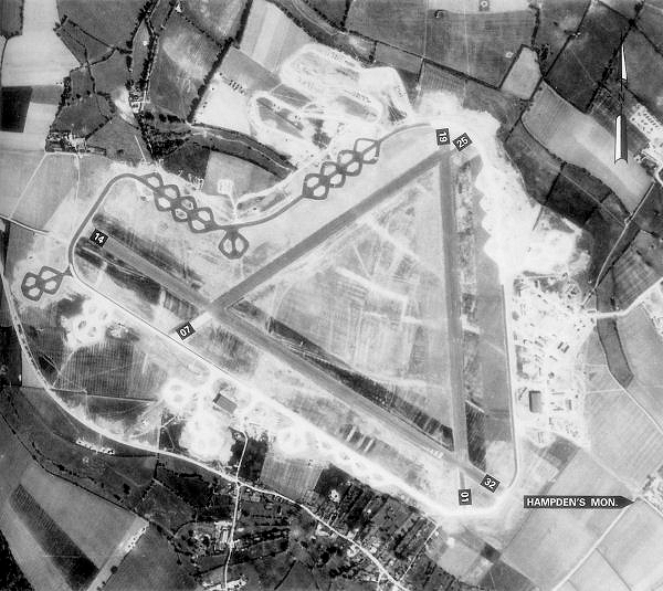
Chalgrove Airfield
Chalgrove Airfield (ICAO: EGLJ) is a former Second World War airfield in Oxfordshire, England. It is approximately 3 mi (4.8 km) north-northeast of Benson...

Easington, South Oxfordshire
Easington is a small village in the civil parish of Cuxham with Easington, in the South Oxfordshire district, in the county of Oxfordshire, England. It...

Chalgrove
Chalgrove is a village and civil parish in South Oxfordshire about 10 miles (16 km) southeast of Oxford. The parish includes the hamlet of Rofford and...

Cuxham with Easington
Cuxham with Easington is a civil parish in South Oxfordshire. It includes the villages of Cuxham and Easington. The 2011 Census recorded a parish population...

Stoke Talmage
Stoke Talmage is a village and civil parish 4+1⁄2 miles (7 km) south of Thame in Oxfordshire. The 2001 Census recorded the parish population as 49. Because...

Brightwell Baldwin
Brightwell Baldwin is a village and civil parish in Oxfordshire, about 4+1⁄2 miles (7 km) northeast of Wallingford. It was historically in the Hundred...

Henley (UK Parliament constituency)
Henley is a constituency in Oxfordshire represented in the House of Commons of the UK Parliament since 2008 by John Howell, a Member of Parliament from...

South Oxfordshire
South Oxfordshire is a local government district in the ceremonial county of Oxfordshire, England. Its council is temporarily based outside the district...
Nearby Amenities
Located within 500m of 51.679226,-1.06274Have you been to Warpsgrove?
Leave your review of Warpsgrove below (or comments, questions and feedback).