Chalgrove Common
Downs, Moorland in Oxfordshire South Oxfordshire
England
Chalgrove Common
Chalgrove Common is an area of natural beauty located in Oxfordshire, England. Spread over approximately 60 hectares, it is a mixture of downs and moorland, offering a diverse and picturesque landscape.
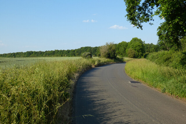
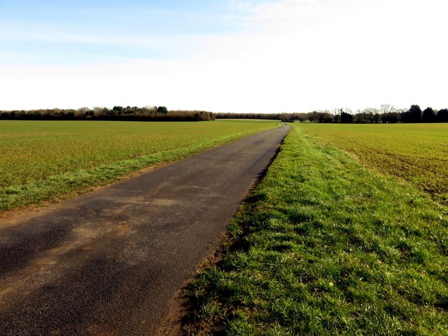
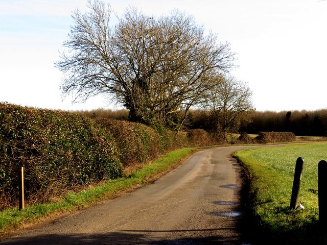
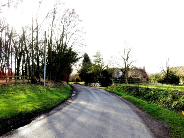
The common is situated on the eastern edge of the Chiltern Hills, just south of the village of Chalgrove. It is easily accessible by foot, with several footpaths leading to and around the area, making it a popular spot for outdoor enthusiasts, walkers, and nature lovers.
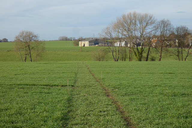
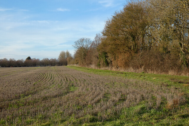
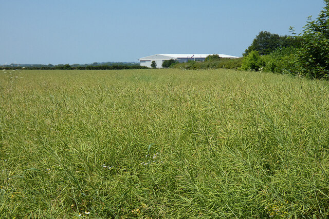
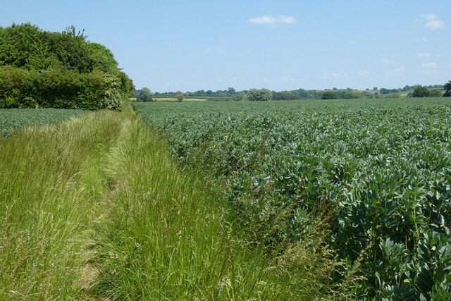
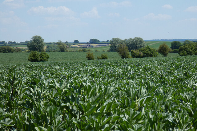
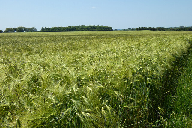
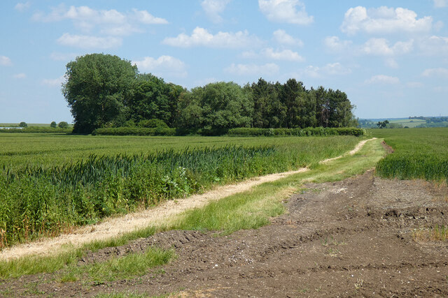
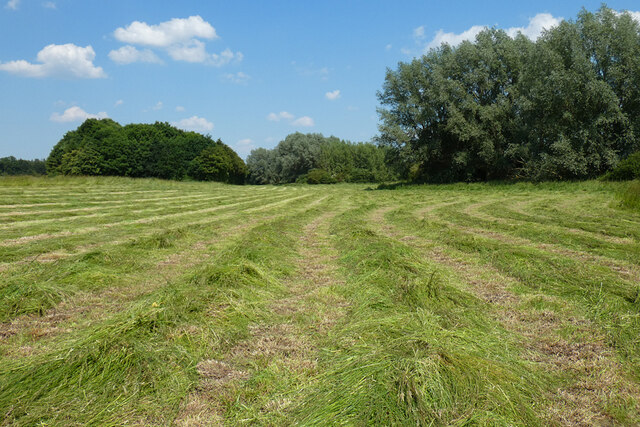
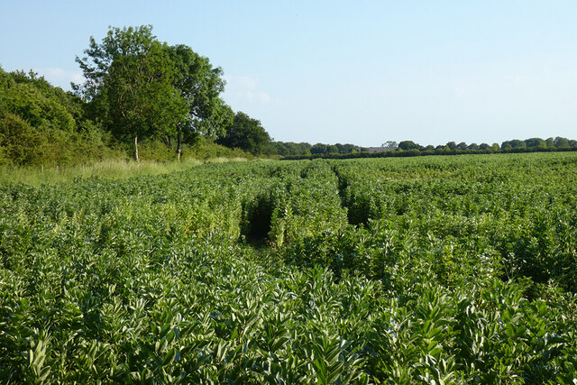
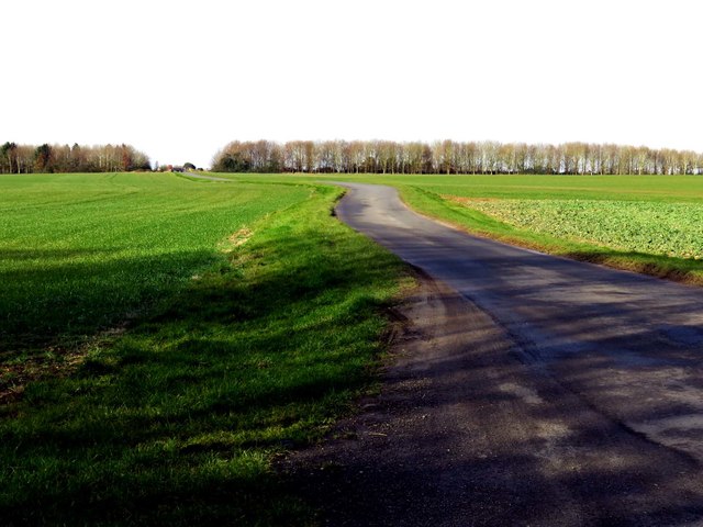
The downs of Chalgrove Common are characterized by their rolling hills and wide expanses of open grassland. The terrain is perfect for leisurely strolls or energetic hikes, providing stunning panoramic views of the surrounding countryside. The common is home to a variety of flora and fauna, including wildflowers, butterflies, and birds, making it a haven for wildlife enthusiasts and birdwatchers.
The moorland section of Chalgrove Common consists of wetland areas, marshes, and ponds, creating a diverse habitat for amphibians, waterfowl, and other wetland species. This part of the common is particularly beautiful during the spring and summer months when the wildflowers are in full bloom.
Chalgrove Common is managed by the Chiltern Society, which works to maintain and protect the natural environment and wildlife. The common is also a designated Site of Special Scientific Interest (SSSI), recognizing its importance for biodiversity and conservation.
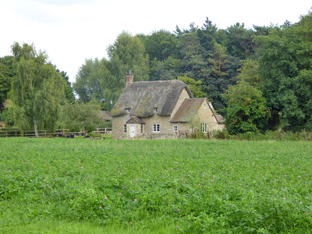
Overall, Chalgrove Common offers visitors a tranquil and scenic escape, with its combination of downs and moorland providing a rich and varied landscape to explore and enjoy.
If you have any feedback on the listing, please let us know in the comments section below.
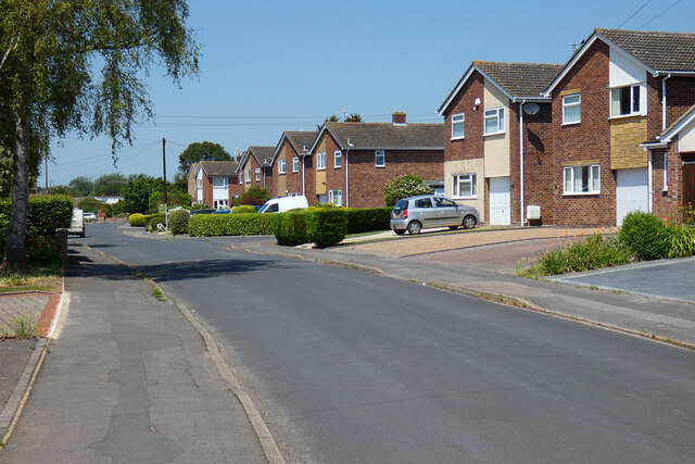
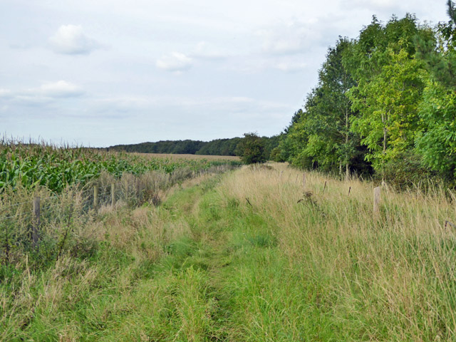
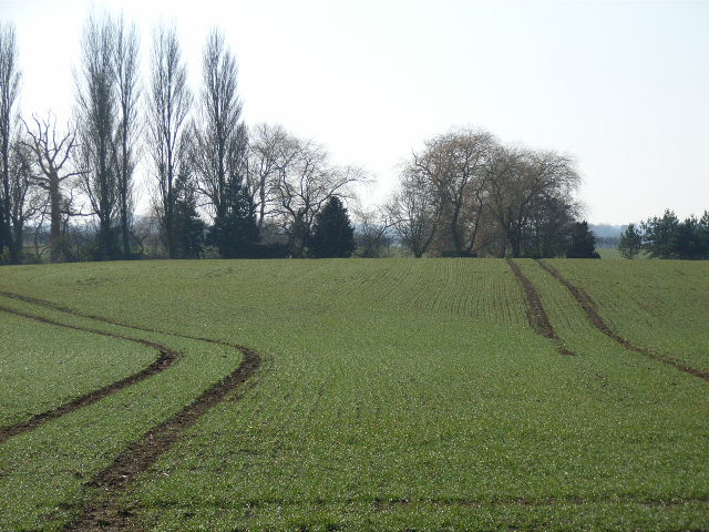
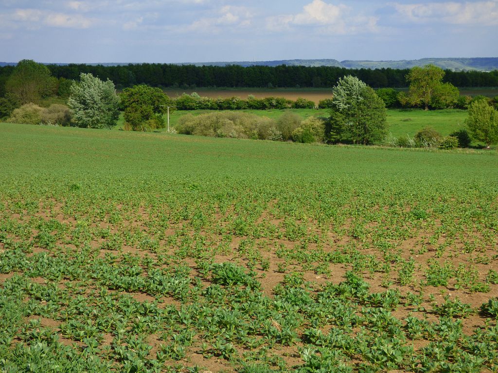
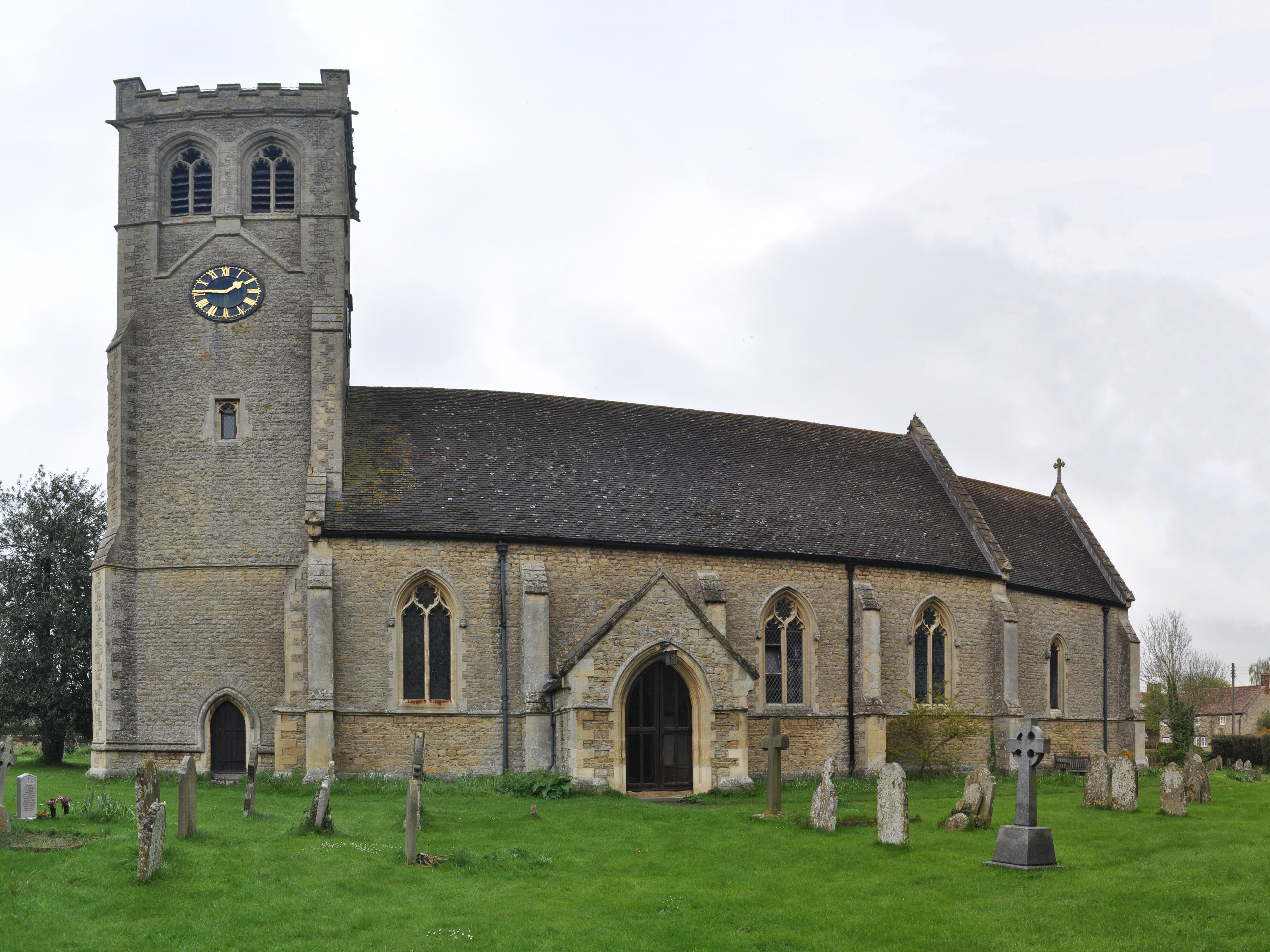
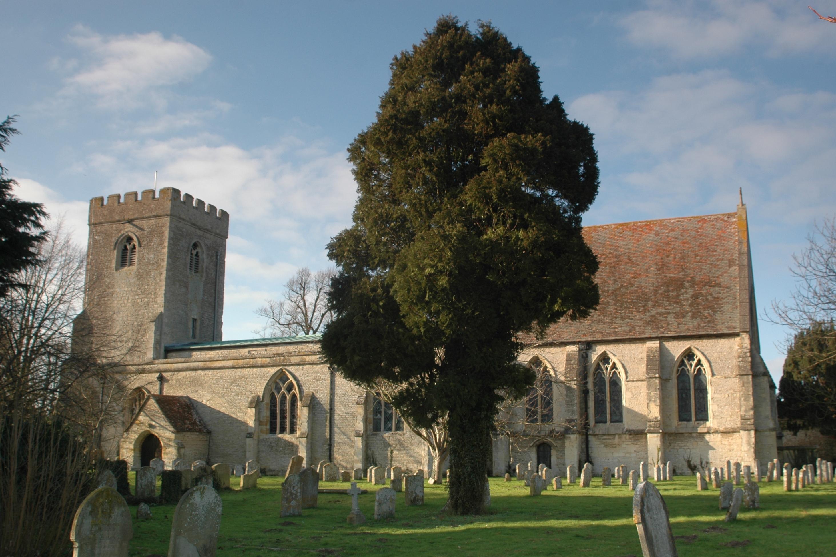
Chalgrove Common Images
Images are sourced within 2km of 51.684654/-1.0744493 or Grid Reference SU6498. Thanks to Geograph Open Source API. All images are credited.
Chalgrove Common is located at Grid Ref: SU6498 (Lat: 51.684654, Lng: -1.0744493)
Administrative County: Oxfordshire
District: South Oxfordshire
Police Authority: Thames Valley
What 3 Words
///waxes.siesta.slopes. Near Chalgrove, Oxfordshire
Nearby Locations
Related Wikis
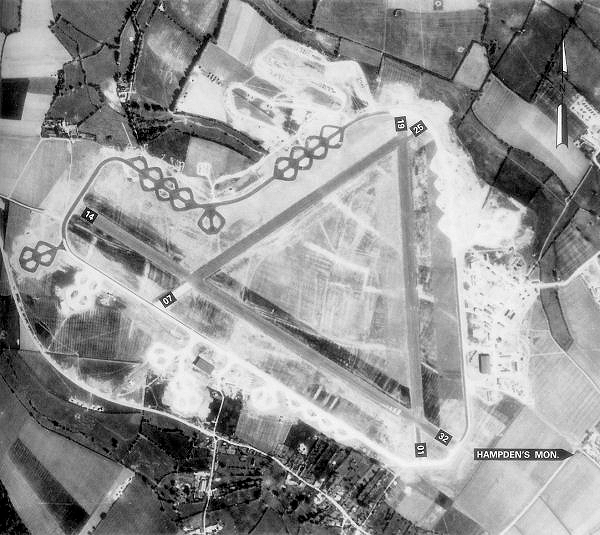
Chalgrove Airfield
Chalgrove Airfield (ICAO: EGLJ) is a former Second World War airfield in Oxfordshire, England. It is approximately 3 mi (4.8 km) north-northeast of Benson...

Chalgrove
Chalgrove is a village and civil parish in South Oxfordshire about 10 miles (16 km) southeast of Oxford. The parish includes the hamlet of Rofford and...

Easington, South Oxfordshire
Easington is a small village in the civil parish of Cuxham with Easington, in the South Oxfordshire district, in the county of Oxfordshire, England. It...
Wells Farm
Wells Farm is a 64-hectare (160-acre) nature reserve on the eastern outskirts of Little Milton in Oxfordshire. It is managed by the Berkshire, Buckinghamshire...

Ascott, Oxfordshire
Ascott is a hamlet and manor house in the English county of Oxfordshire. Ascott lies close to the River Thame north of Dorchester, around about 7 miles...
Little Milton, Oxfordshire
Little Milton is a village and civil parish in Oxfordshire, about 6 miles (10 km) southwest of Thame and 7 miles (11 km) southeast of Oxford. The parish...
Great Haseley
Great Haseley is a village and civil parish in South Oxfordshire, England. The village is about 4.5 miles (7 km) southwest of Thame. The parish includes...

Cuxham with Easington
Cuxham with Easington is a civil parish in South Oxfordshire. It includes the villages of Cuxham and Easington. The 2011 Census recorded a parish population...
Have you been to Chalgrove Common?
Leave your review of Chalgrove Common below (or comments, questions and feedback).