Warninglid

Settlement in Sussex Mid Sussex

England

Warninglid

Equipment at the water treatment plant This is a small site - I couldn't see much else apart from the two green tanks. It smells a bit too, but luckily it's quite a way from any houses
Equipment at the water treatment plant Credit: Ian Cunliffe

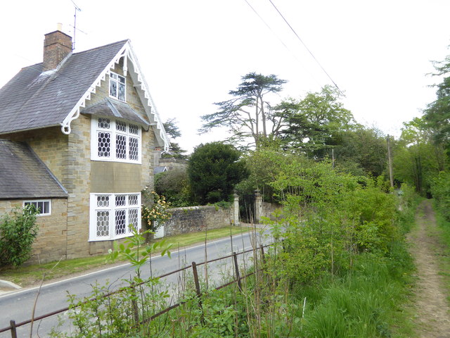
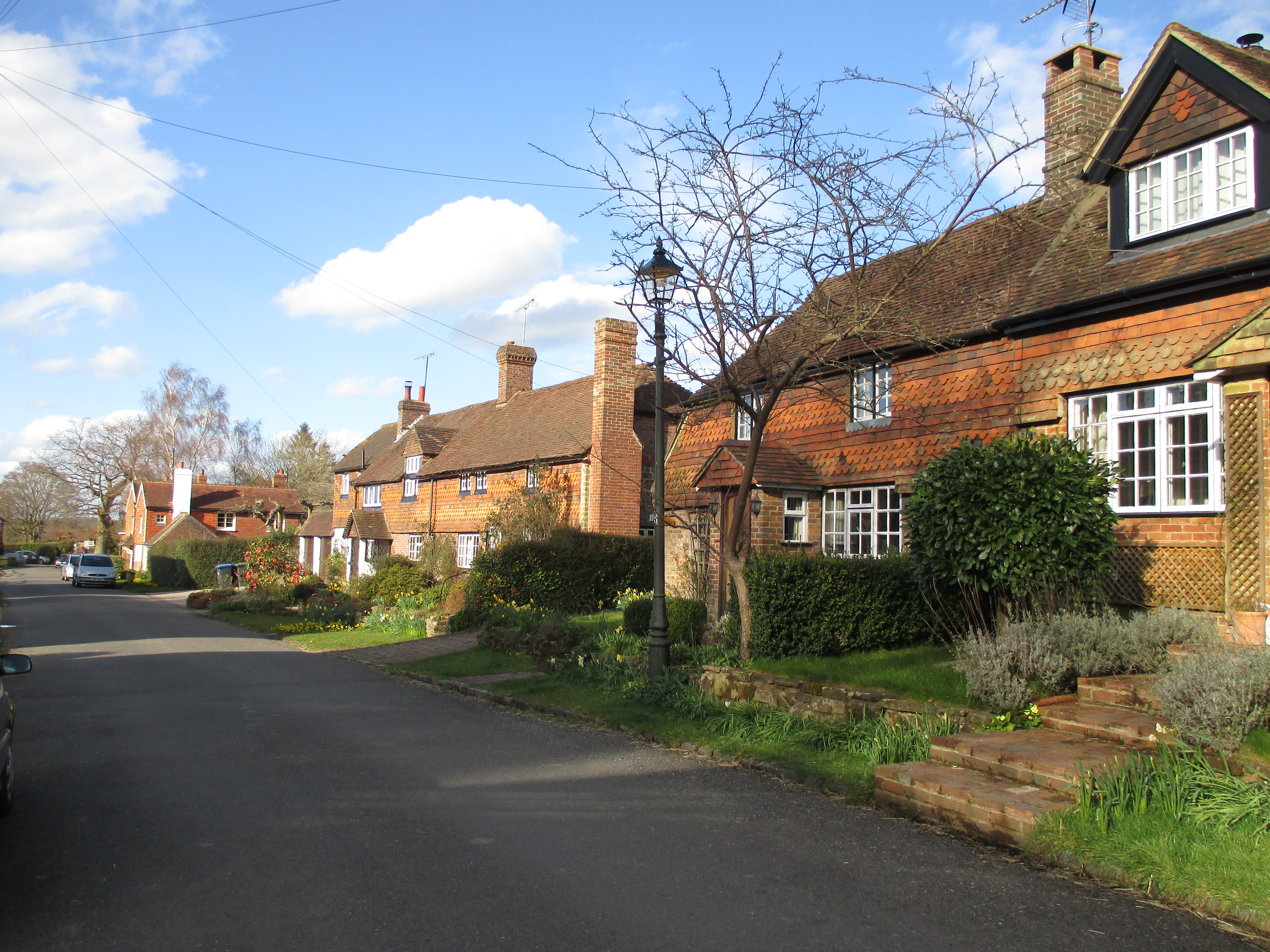
Warninglid is a small village located in the Mid Sussex district of West Sussex, England. Situated approximately 10 miles to the north of Brighton and Hove, it is surrounded by picturesque countryside and offers a tranquil escape from the bustling city life. The village is primarily residential, with a population of around 500 residents.

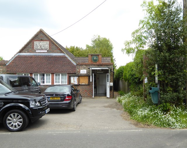
Despite its small size, Warninglid boasts a strong sense of community and is home to several amenities. The village pub, The Horns Lodge, is a popular gathering spot for locals and visitors alike, offering a cozy atmosphere and traditional British cuisine. There is also a village hall that hosts various events and activities, providing a space for community engagement.

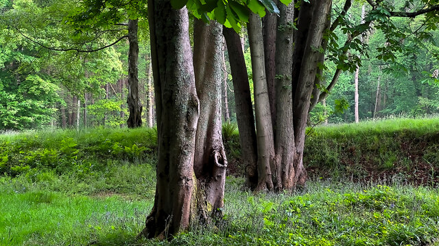
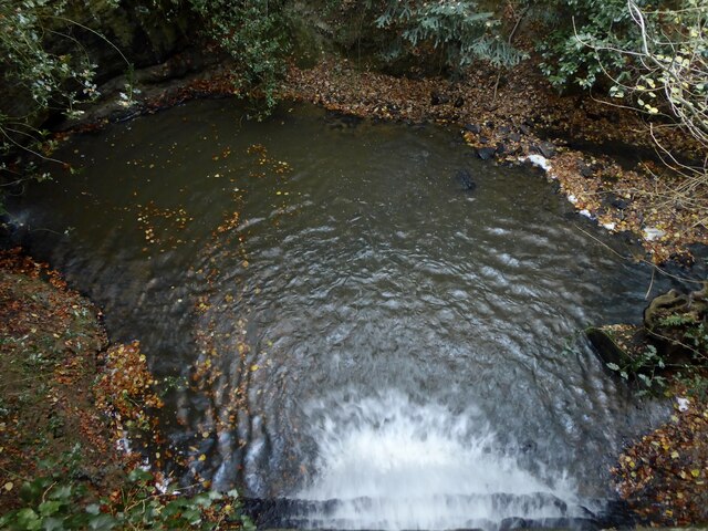
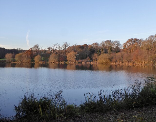
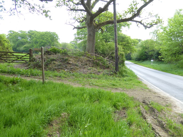
Nature enthusiasts will appreciate the village's proximity to the beautiful High Weald Area of Outstanding Natural Beauty. With an array of walking trails and scenic landscapes, it offers ample opportunities for outdoor recreation and exploration. The South Downs National Park is also within easy reach, providing further access to stunning natural scenery.

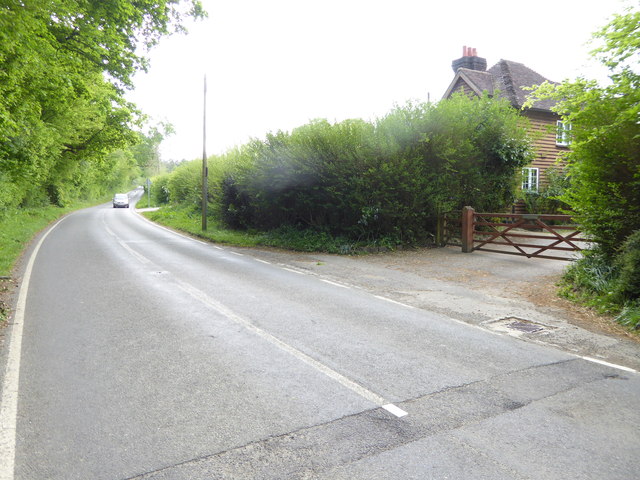
Warninglid benefits from its convenient location, with good transportation links to nearby towns and cities. The A23 road passes through the village, connecting it to major routes and making it easily accessible by car. Additionally, the nearby Haywards Heath railway station provides regular train services to London and other destinations.

In summary, Warninglid is a charming village in the heart of West Sussex, offering a peaceful setting, a strong community spirit, and easy access to both rural and urban amenities.

If you have any feedback on the listing, please let us know in the comments section below.

Warninglid Images

Images are sourced within 2km of 51.019432/-0.217211 or Grid Reference TQ2525. Thanks to Geograph Open Source API. All images are credited.

Equipment at the water treatment plant This is a small site - I couldn't see much else apart from the two green tanks. It smells a bit too, but luckily it's quite a way from any houses
Equipment at the water treatment plant
This is a small site - I couldn't see much else apart from the two green tanks. It smells a bit too, but luckily it's quite a way from any houses
Barn at Rout Farm
Barn at Rout Farm
Trees by Earwig Lane
Fern fronds in Steep Wood
Slaugham Mill Pond The largest of three ponds along one of the small streams at the head of the River Ouse.
Slaugham Mill Pond
The largest of three ponds along one of the small streams at the head of the River Ouse.
Slaugham Manor Slaugham Manor has had an eventful life. Completed in 1901 as a wealthy family home, it subsequently became a hotel and country club before changing again into a police training centre. It is now apartments.
History on <span class="nowrap"><a title="https://www.linkedin.com/pulse/history-slaugham-manor-superb-conversion-important-house-van-loock/" rel="nofollow ugc noopener" href="https://www.linkedin.com/pulse/history-slaugham-manor-superb-conversion-important-house-van-loock/">Link</a><img style="margin-left:2px;" alt="External link" title="External link - shift click to open in new window" src="https://s1.geograph.org.uk/img/external.png" width="10" height="10"/></span>
Strangely, the 200 metres or so of road past the manor is signed as no public right of way. As the public path walk around is quite lengthy I doubt many people worry about that. 
But if anybody does care, this is a zoom and crop image taken from the public footpath at the end of the private bit.
Slaugham Manor
Slaugham Manor has had an eventful life. Completed in 1901 as a wealthy family home, it subsequently became a hotel and country club before changing again into a police training centre. It is now apartments. History on LinkExternal link Strangely, the 200 metres or so of road past the manor is signed as no public right of way. As the public path walk around is quite lengthy I doubt many people worry about that. But if anybody does care, this is a zoom and crop image taken from the public footpath at the end of the private bit.
River Ouse Viewed from above where Slaugham Mill Pond empties into the river.
River Ouse
Viewed from above where Slaugham Mill Pond empties into the river.
Slaugham Mill Pond The eastern end of the old mill pond catching the late afternoon sun.
Slaugham Mill Pond
The eastern end of the old mill pond catching the late afternoon sun.
A23, northbound The A23 is a 53 mile long road between London and Brighton.
Wikipedia: <span class="nowrap"><a title="http://en.wikipedia.org/wiki/A23_road" rel="nofollow ugc noopener" href="http://en.wikipedia.org/wiki/A23_road">Link</a><img style="margin-left:2px;" alt="External link" title="External link - shift click to open in new window" src="https://s1.geograph.org.uk/img/external.png" width="10" height="10"/></span>
A23, northbound
The A23 is a 53 mile long road between London and Brighton. Wikipedia: LinkExternal link
A23, northbound
A23, northbound
Eastlands Park House and entrance
Junction with grass triangle on Warninglid Lane
Footpath goes south from Warninglid Lane
Bridleway junction on Warninglid Lane
Looking east on Warninglid Lane
Dwelling at The Old Grange on Warninglid Lane This was taken from the bridleway.
Dwelling at The Old Grange on Warninglid Lane
This was taken from the bridleway.
Seaforth Hall on Cuckfield Lane An earlier picture without vehicles is at <a title="https://www.geograph.org.uk/photo/63506" href="https://www.geograph.org.uk/photo/63506">Link</a>.
Seaforth Hall on Cuckfield Lane
An earlier picture without vehicles is at Link.
Show me another place!

Warninglid is located at Grid Ref: TQ2525 (Lat: 51.019432, Lng: -0.217211)

Administrative County: West Sussex

District: Mid Sussex

Police Authority: Sussex

What 3 Words

///plod.similar.tomorrow. Near Handcross, West Sussex

Nearby Locations

Warninglid

Related Wikis

Warninglid

Warninglid (historically known as Warninglyth and Warningeld) is a small village in the Mid Sussex District of West Sussex, England. It lies on the B2115...

Wykehurst Place

Wykehurst Place (or Park) is a Gothic Revival mansion in Bolney, West Sussex, England, resembling more the châteaux of the Loire than an English manor...

Colwood, West Sussex

Colwood is a village near Warninglid in West Sussex, England. It is the site of Colwood Manor. == References == The geographic coordinates are from the...

St Mary's Church, Slaugham

St Mary's Church is an Anglican church in the village of Slaugham in Mid Sussex, one of seven local government districts in the English county of West...

Slaugham

Slaugham () is a village and civil parish in the Mid Sussex District of West Sussex, England. It is located 7 miles (11 km) to the south of Crawley, on...

Leonardslee

Leonardslee is an English country house and English landscape garden and woodland garden in Lower Beeding, near Horsham, West Sussex, England. The Grade...

Crabtree, West Sussex

Crabtree is a hamlet in the parish of Lower Beeding and in Horsham District of West Sussex, England. It lies on the A281 road 4.4 miles (7.1 km) southeast...

Staplefield

Staplefield is a village in the Mid Sussex District of West Sussex, England, situated 6 kilometres (3.7 mi) north-west of Haywards Heath on the B2114...

Nearby Amenities

Located within 500m of 51.019432,-0.217211
Warninglid
Place: village
Wikidata: Q7969834
Wikipedia: en:Warninglid
Lat/Long: 51.0205977/-0.21859
Barrier: kissing_gate
Lat/Long: 51.0179142/-0.212686
Bus Stop
Half Moon
Bus: yes
Naptan AtcoCode: 4400HR0513
Naptan Bearing: E
Naptan CommonName: Half Moon
Naptan Indicator: opp pub
Naptan Landmark: Slaugham Lane
Naptan NaptanCode: wsxawmwp
Naptan ShortCommonName: Warninglid HalfMoon
Naptan Street: Cuckfield Lane
Naptan Verified: no
Public Transport: platform
Source: naptan_import
Lat/Long: 51.0208382/-0.2184446
Bus Stop
Half Moon
Bus: yes
Naptan AtcoCode: 4400HR0514
Naptan Bearing: W
Naptan CommonName: Half Moon
Naptan Indicator: o/s pub
Naptan Landmark: Slaugham Lane
Naptan NaptanCode: wsxawmwt
Naptan ShortCommonName: Warninglid HalfMoon
Naptan Street: Cuckfield Lane
Naptan Verified: no
Public Transport: platform
Source: naptan_import
Lat/Long: 51.0207801/-0.2181759
Post Box
Operator: Royal Mail
Post Box Type: lamp
Ref: RH17 52
Royal Cypher: EIIR
Royal Cypher Wikidata: Q33102113
Lat/Long: 51.0201516/-0.2193933
Bench
Backrest: yes
Material: wood
Seats: 2
Lat/Long: 51.0201997/-0.2194658
Barrier: kissing_gate
Lat/Long: 51.0180992/-0.2139554
Barrier: stile
Lat/Long: 51.018903/-0.2186446
Power: pole
Lat/Long: 51.0236332/-0.2183127
Power: pole
Lat/Long: 51.0229455/-0.2185955
Addr City: Haywards Heath
Addr Housename: Herring Cottages
Addr Postcode: RH17 5TR
Addr Street: The Street
Addr Village: Warninglid
Lat/Long: 51.0190943/-0.2197923
Addr City: Haywards Heath
Addr Housename: Council Cottages
Addr Postcode: RH17 5UB
Addr Street: Cuckfield Lane
Addr Village: Warninglid
Lat/Long: 51.0208887/-0.2155504
Addr City: Haywards Heath
Addr Housename: Church Flats
Addr Postcode: RH17 5UB
Addr Street: Cuckfield Lane
Addr Village: Warninglid
Lat/Long: 51.0205504/-0.2181105
Addr City: Haywards Heath
Addr Housename: Colwood Cottages
Addr Postcode: RH17 5SP
Addr Street: Cuckfield Lane
Addr Village: Warninglid
Lat/Long: 51.0207664/-0.2149241
Barrier: stile
Lat/Long: 51.0186315/-0.21458
Power: pole
Lat/Long: 51.0157135/-0.2179488
Power: pole
Lat/Long: 51.0166023/-0.2180718
Power: pole
Lat/Long: 51.017728/-0.2183322
Power: pole
Lat/Long: 51.0186201/-0.2185165
Leisure: picnic_table
Lat/Long: 51.0194966/-0.2185901
Power: pole
Lat/Long: 51.0192581/-0.2184082
Power: pole
Lat/Long: 51.0189152/-0.2184786
The data included in this document is from www.openstreetmap.org. The data is made available under ODbL.

Have you been to Warninglid?

Leave your review of Warninglid below (or comments, questions and feedback).