Boyton Cross
Settlement in Essex Chelmsford
England
Boyton Cross
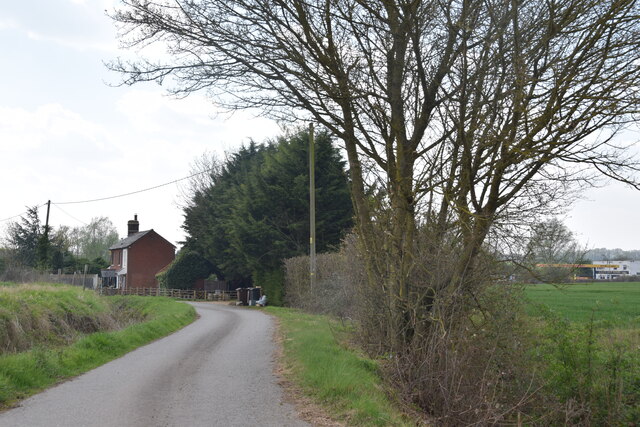
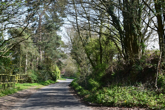
Boyton Cross is a small village located in the county of Essex, England. Situated approximately 6 miles southeast of Chelmsford, Boyton Cross is nestled in the picturesque countryside of the county. The village is primarily residential, with a population of around 300 people.
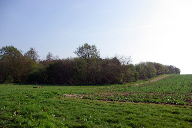
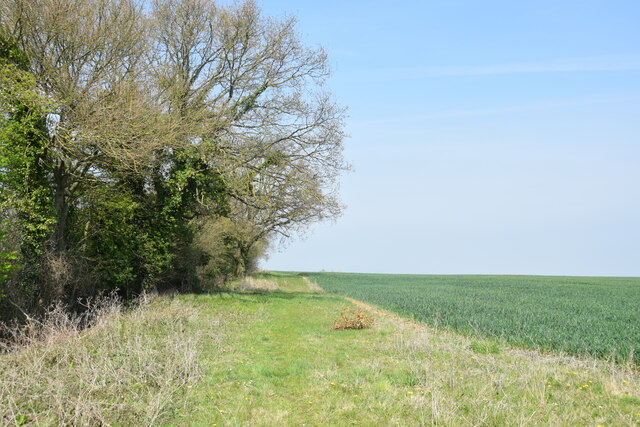
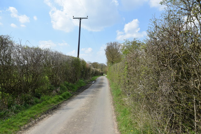
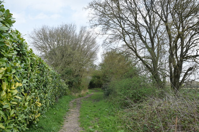
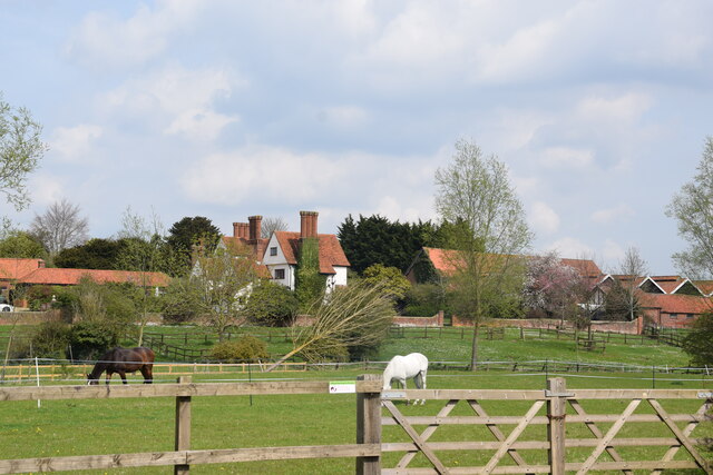
The village is known for its tranquil and idyllic setting, surrounded by fields and farmland, offering a peaceful retreat from the bustling city life. It is characterized by charming cottages and traditional architecture, giving it a quintessentially English countryside feel.
Although small in size, Boyton Cross boasts a strong sense of community. The village has a local pub, The Cross Inn, which serves as a popular gathering spot for residents and visitors alike. The pub offers a warm and friendly atmosphere, serving traditional British cuisine and a range of beverages.
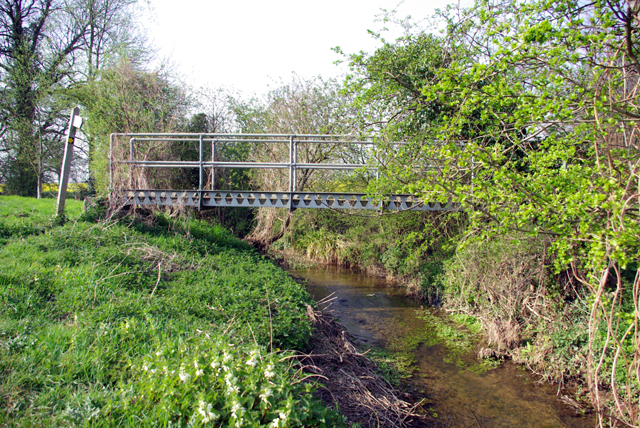
Residents of Boyton Cross enjoy the benefits of living in a rural area, such as access to beautiful walking trails and outdoor activities. The village is also conveniently located near major road networks, allowing for easy access to nearby towns and cities.
In terms of amenities, Boyton Cross has limited facilities. However, the nearby town of Chelmsford offers a wide range of shops, schools, healthcare services, and recreational activities, ensuring that residents have access to everything they need.
Overall, Boyton Cross is a charming and peaceful village, offering residents a tranquil rural lifestyle while still being within easy reach of nearby towns and cities.
If you have any feedback on the listing, please let us know in the comments section below.
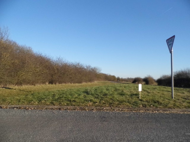
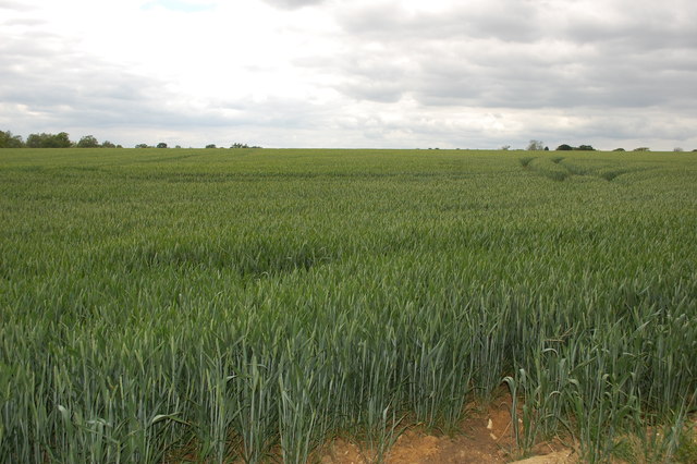
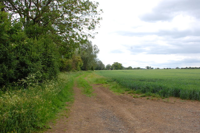
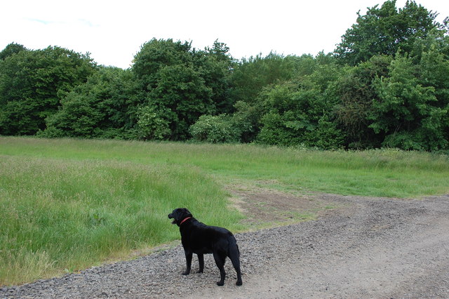
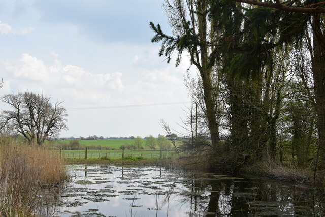
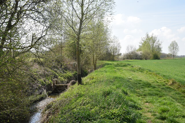
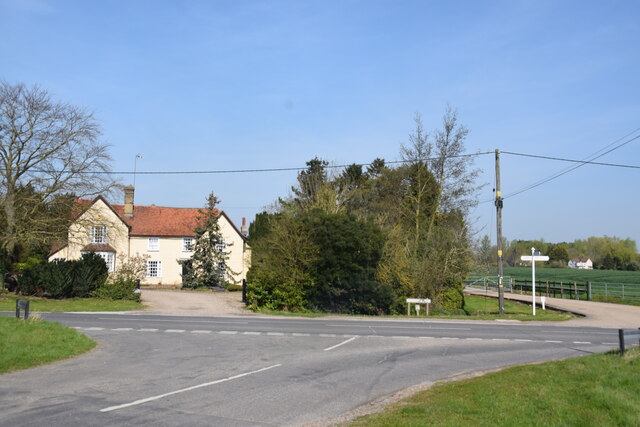
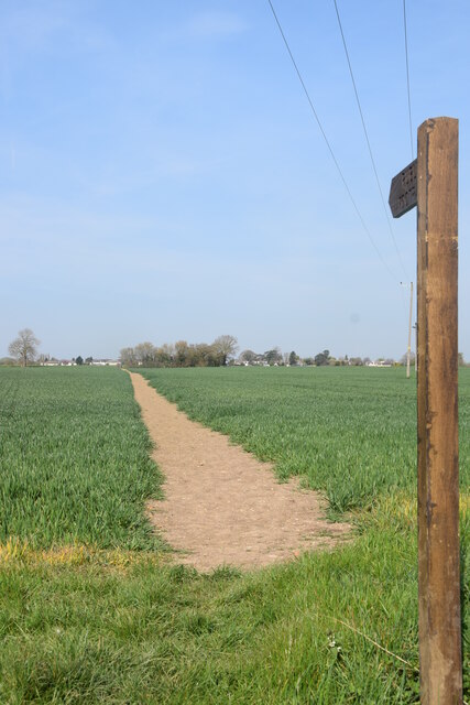
Boyton Cross Images
Images are sourced within 2km of 51.756504/0.384905 or Grid Reference TL6409. Thanks to Geograph Open Source API. All images are credited.
Boyton Cross is located at Grid Ref: TL6409 (Lat: 51.756504, Lng: 0.384905)
Administrative County: Essex
District: Chelmsford
Police Authority: Essex
What 3 Words
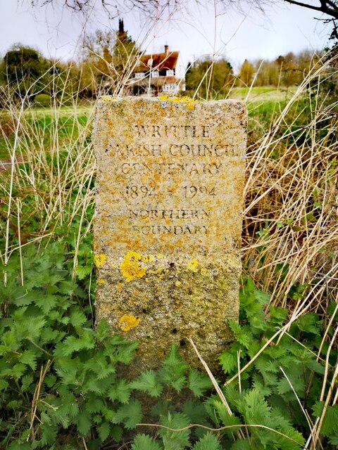
///marching.rules.rides. Near Writtle, Essex
Nearby Locations
Related Wikis

Boyton Cross
Boyton Cross is a hamlet in Essex, England. It is approximately half a mile from the village of Roxwell and is situated mainly along the A1060 road which...

Roxwell
Roxwell is a village and civil parish in the Chelmsford district of Essex, England. The village is approximately 4 miles (6 km) west from the centre of...

Chalk End
Chalk End is a hamlet in the civil parish of Roxwell and the Chelmsford District of Essex, England. The hamlet is 1.5 miles (2.4 km) northwest from the...

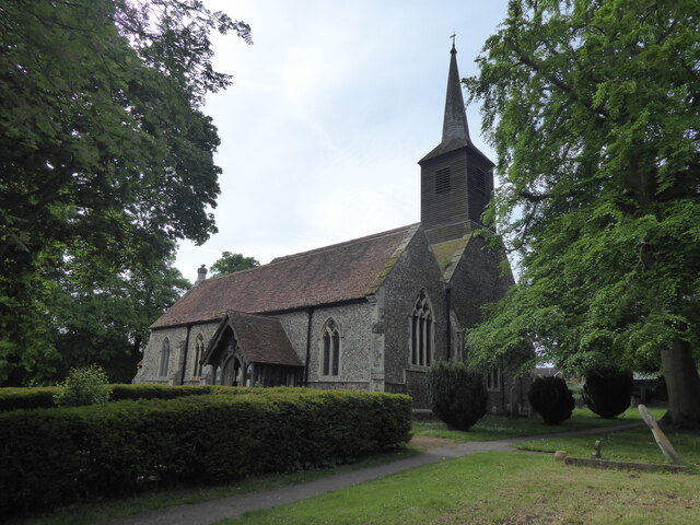
St James' Church, Chignal St James
St James' Church, Chignal St James is a former parish church in Chignal St James in Essex, England. The building has a 13th or 14th century nave with flint...
Nearby Amenities
Located within 500m of 51.756504,0.384905Have you been to Boyton Cross?
Leave your review of Boyton Cross below (or comments, questions and feedback).