Newland Osiers

Wood, Forest in Essex Chelmsford

England

Newland Osiers

Chalk End looking towards the A1060
Chalk End looking towards the A1060 Credit: David Howard

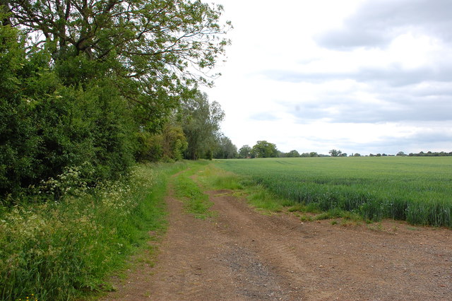
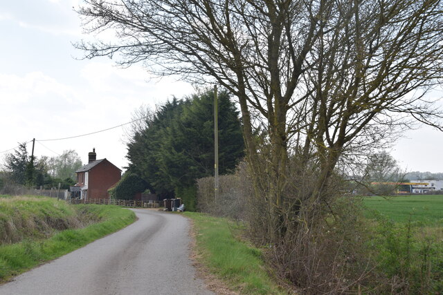
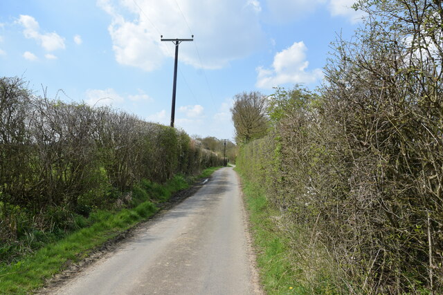
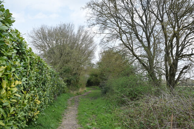
Newland Osiers is a picturesque woodland area located in Essex, England. Situated in the heart of the county, it is known for its lush forests and scenic beauty. Covering a vast area of land, Newland Osiers is a haven for nature enthusiasts and offers a tranquil escape from the hustle and bustle of daily life.

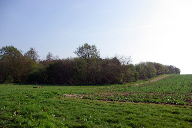
The woodland is predominantly composed of deciduous trees, creating a stunning display of colors during the autumn season. Majestic oaks, beeches, and birches dominate the landscape, providing a rich habitat for a diverse range of flora and fauna. The forest floor is adorned with carpets of bluebells and wildflowers, adding to its natural charm.

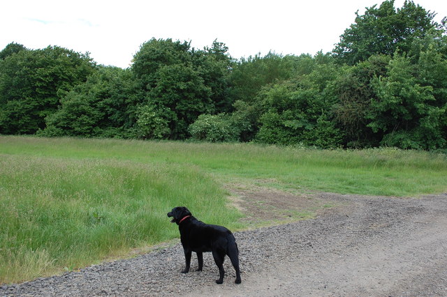
Newland Osiers is also home to a variety of wildlife species. Deer, squirrels, and rabbits can often be spotted roaming freely in the woods, while birdwatchers can enjoy the sight of various avian species, including woodpeckers and owls.

The woodland offers a network of well-maintained walking trails, allowing visitors to explore its beauty at their own pace. These paths wind their way through the forest, offering glimpses of enchanting glades and secret clearings. Picnic areas are scattered throughout the area, providing perfect spots for visitors to relax and immerse themselves in the peaceful surroundings.

Newland Osiers is a popular destination for outdoor activities such as hiking, cycling, and nature photography. The forest's serene atmosphere and natural beauty make it a favored location for artists and writers seeking inspiration.

Overall, Newland Osiers in Essex offers a serene and captivating woodland experience, making it a must-visit destination for nature lovers and those seeking a tranquil retreat.

If you have any feedback on the listing, please let us know in the comments section below.

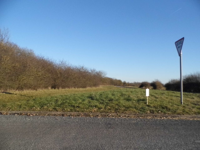
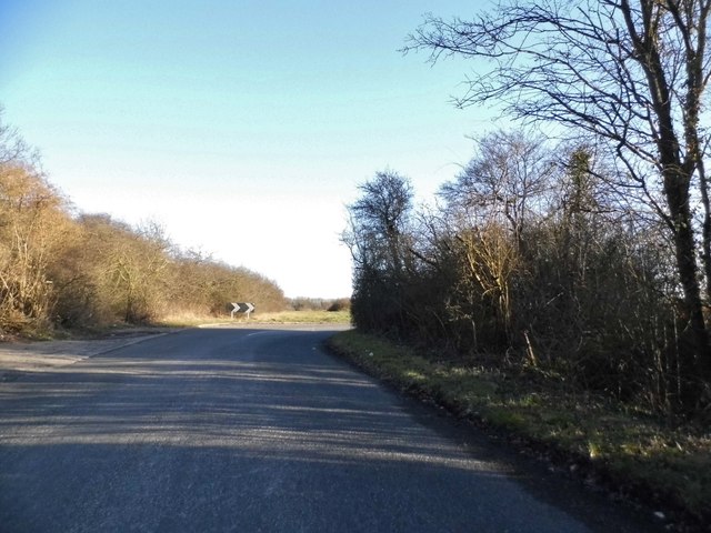
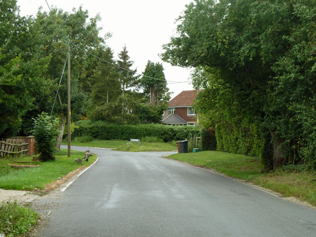
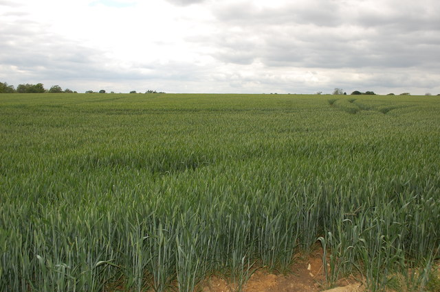
Newland Osiers Images

Images are sourced within 2km of 51.75893/0.37631848 or Grid Reference TL6409. Thanks to Geograph Open Source API. All images are credited.

Chalk End looking towards the A1060
Chalk End
Chalk End
River Can Near Fambridge End Looking Downstream
River Can Near Fambridge End
Looking Downstream
Footpath to Wares Cottage This is Footpath PROw 129_29 it is 911m long.
Footpath to Wares Cottage
This is Footpath PROw 129_29 it is 911m long.
The old main road, Chalk End Before it was bypassed, the Chelmsford - Bishop's Stortford road took this course, bending to the left at the junction with the road to the Easters.
The old main road, Chalk End
Before it was bypassed, the Chelmsford - Bishop's Stortford road took this course, bending to the left at the junction with the road to the Easters.
Farmbridge End Road The road from Chalk End to Good Easter.
Farmbridge End Road
The road from Chalk End to Good Easter.
A peep in the gate at Newarks Mapped as Great Newarks, the name plate leaves out the 'Great'.
A peep in the gate at Newarks
Mapped as Great Newarks, the name plate leaves out the 'Great'.
Old grain silo at Newarks Standing just outside the neatly enclosed grounds of the house (formerly Great Newarks), this silo has been here since at least 1952. In those times and earlier there seems to have been farm buildings adjacent, just inside the house grounds. These have been demolished.
Old grain silo at Newarks
Standing just outside the neatly enclosed grounds of the house (formerly Great Newarks), this silo has been here since at least 1952. In those times and earlier there seems to have been farm buildings adjacent, just inside the house grounds. These have been demolished.
Wheatfield near Great Newarks Taken from slightly to the west of the path coming south from Mashbury Hall.
Wheatfield near Great Newarks
Taken from slightly to the west of the path coming south from Mashbury Hall.
Path to Great Newarks Parts of the buildings at Great Newarks can just be made out in the centre distance.
Path to Great Newarks
Parts of the buildings at Great Newarks can just be made out in the centre distance.
Nightingale Wood The north western corner of the wood, taken from the public footpath.
Nightingale Wood
The north western corner of the wood, taken from the public footpath.
Chalk End, Essex Small hamlet north-west of Chelmsford on the north side of the A1060
Chalk End, Essex
Small hamlet north-west of Chelmsford on the north side of the A1060
Nightingale Wood A public footpath passes to the left and goes up the other side of the wood. A wood notable for daffodils.
Nightingale Wood
A public footpath passes to the left and goes up the other side of the wood. A wood notable for daffodils.
Footpath bridge The stream is a small River Can.
Footpath bridge
The stream is a small River Can.
Road junction at Chalk End The road off to the right is called Farmbridge End Road and leads to Good Easter. The other road was once part of the original main road that is now the A1060.
Road junction at Chalk End
The road off to the right is called Farmbridge End Road and leads to Good Easter. The other road was once part of the original main road that is now the A1060.
Boyton Hall Lane Looking towards Boyton Cross.
Boyton Hall Lane
Looking towards Boyton Cross.
Elm Lane, Roxwell A dead-end lane heading towards Mountneys.
Elm Lane, Roxwell
A dead-end lane heading towards Mountneys.
Bridleway off Elm Lane Here the bridleway is running south of Elm Tree House.
Bridleway off Elm Lane
Here the bridleway is running south of Elm Tree House.
Show me another place!

Newland Osiers is located at Grid Ref: TL6409 (Lat: 51.75893, Lng: 0.37631848)

Administrative County: Essex

District: Chelmsford

Police Authority: Essex

What 3 Words

///subplot.blueberry.passwords. Near Writtle, Essex

Related Wikis

Boyton Cross

Boyton Cross is a hamlet in Essex, England. It is approximately half a mile from the village of Roxwell and is situated mainly along the A1060 road which...

Chalk End

Chalk End is a hamlet in the civil parish of Roxwell and the Chelmsford District of Essex, England. The hamlet is 1.5 miles (2.4 km) northwest from the...

Mashbury

Mashbury is a small village and civil parish in the Chelmsford district of Essex, England. The population of the village is included in the civil parish...

Roxwell

Roxwell is a village and civil parish in the Chelmsford district of Essex, England. The village is approximately 4 miles (6 km) west from the centre of...

Nearby Amenities

Located within 500m of 51.75893,0.37631848
Bus Stop
Hill Farm
Bus: yes
Naptan AtcoCode: 150002001011
Naptan Bearing: SE
Naptan CommonName: Hill Farm
Naptan Indicator: o/s
Naptan Landmark: Hill Farm
Naptan NaptanCode: esxatpwp
Naptan Street: A1060
Naptan Verified: no
Public Transport: platform
Source: naptan_import
Lat/Long: 51.7630563/0.3783375
Bus Stop
Hill Farm
Bus: yes
Naptan AtcoCode: 150002001012
Naptan Bearing: W
Naptan CommonName: Hill Farm
Naptan Indicator: Opp
Naptan Landmark: Hill Farm
Naptan NaptanCode: esxatpwt
Naptan Street: A1060
Naptan Verified: no
Public Transport: platform
Source: naptan_import
Lat/Long: 51.76313/0.3778051
The data included in this document is from www.openstreetmap.org. The data is made available under ODbL.

Have you been to Newland Osiers?

Leave your review of Newland Osiers below (or comments, questions and feedback).