Boynton

Settlement in Yorkshire

England

Boynton

Charleston Farm Entrance
Charleston Farm Entrance Credit: JThomas

Boynton is a small village located in the East Riding of Yorkshire, England. It is situated approximately 5 miles northwest of the market town of Bridlington and lies on the B1253 road. The village is nestled amidst the picturesque Yorkshire Wolds, offering stunning views of the surrounding countryside.

With a population of around 200 residents, Boynton exudes a tranquil and rural atmosphere. The village is known for its charming and well-preserved traditional architecture, including several historic cottages and farmhouses. The centerpiece of Boynton is Boynton Hall, an impressive Grade II listed mansion that dates back to the 17th century. The Hall is surrounded by beautifully manicured gardens, which are occasionally open to the public.

Despite its small size, Boynton boasts a strong sense of community. The village has a local pub, The Star Inn, which serves as a gathering place for both residents and visitors. The pub offers a warm and friendly atmosphere, as well as a selection of traditional ales and hearty pub food.

The surrounding area offers plenty of opportunities for outdoor activities, such as walking, cycling, and horse riding. The nearby Boynton Beacon, a prominent landmark, provides panoramic views of the surrounding countryside and is a popular destination for hikers.

Overall, Boynton is a peaceful and idyllic village that offers a welcome escape from the bustle of modern life. Its rich history, scenic landscapes, and close-knit community make it a charming destination for both locals and tourists seeking a taste of traditional Yorkshire life.

If you have any feedback on the listing, please let us know in the comments section below.
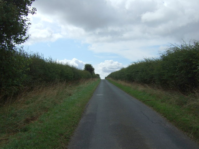
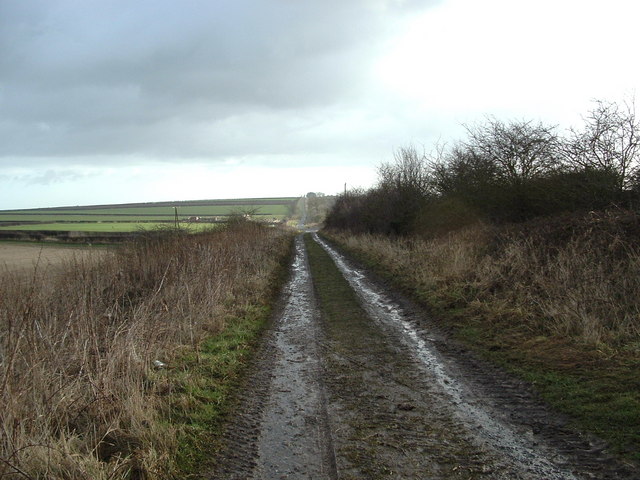
Boynton Images

Images are sourced within 2km of 54.097462/-0.264863 or Grid Reference TA1368. Thanks to Geograph Open Source API. All images are credited.

Charleston Farm Entrance
The way to Charleston Farm, near Grindale
The sign for Charleston Farm
Minor road towards Boynton Heading south on  rural road.
Minor road towards Boynton
Heading south on rural road.
Stone quarry near Charleston Farm
Stubble field towards High Caythorpe
Minor road towards Boynton  Heading south on rural road.
Minor road towards Boynton
Heading south on rural road.
View E from Low Caythorpe trig
Bridleway - View South Looking south from the north edge of the grid square.
Bridleway - View South
Looking south from the north edge of the grid square.
Sands Wood Looking north down the forest road which heads to Boynton in the adjacent square north.
Sands Wood
Looking north down the forest road which heads to Boynton in the adjacent square north.
Temple Farm Looking south from the Temple to Temple Farm which sits high above the surrounding countryside.
Temple Farm
Looking south from the Temple to Temple Farm which sits high above the surrounding countryside.
Carnaby Temple The Temple sits high above the surrounding area just north of Temple farm.
Carnaby Temple
The Temple sits high above the surrounding area just north of Temple farm.
Temple Bridleway View north from the Temple along the bridleway towards the road.
Temple Bridleway
View north from the Temple along the bridleway towards the road.
Temple Ceiling An internal view of the Temple looking up to the ceiling.
Temple Ceiling
An internal view of the Temple looking up to the ceiling.
Temple Fireplace The stairs still reach to what was the first floor from which this view of the fireplace is from.
Temple Fireplace
The stairs still reach to what was the first floor from which this view of the fireplace is from.
Fish Pond Wood There's a lot going on in this grid square, fishing, camping and caravan park etc.
Fish Pond Wood
There's a lot going on in this grid square, fishing, camping and caravan park etc.
High Easton Farm This area is all farmland. Looking NW from the farm road, a typical view of this grid square.
High Easton Farm
This area is all farmland. Looking NW from the farm road, a typical view of this grid square.
North Wood This is the north edge of North Wood on the south edge of the grid square. View looking NE.
North Wood
This is the north edge of North Wood on the south edge of the grid square. View looking NE.
Show me another place!

Boynton is located at Grid Ref: TA1368 (Lat: 54.097462, Lng: -0.264863)

Division: East Riding

Unitary Authority: East Riding of Yorkshire

Police Authority: Humberside

What 3 Words

///breed.bulge.workshop. Near Boynton, East Yorkshire

Nearby Locations

North Wood Boynton Boynton

Related Wikis

Boynton, East Riding of Yorkshire

Boynton is a village and civil parish in the East Riding of Yorkshire, England. It is situated approximately 3 miles (5 km) west of the town of Bridlington...

Boynton Hall

Boynton Hall is a country house in the village of Boynton near Bridlington, East Riding of Yorkshire, England. It is a Grade I listed building. Originally...

Bridlington Rural District

Bridlington was a rural district in the East Riding of Yorkshire in England from 1894 to 1974. It covered a coastal area, and surrounded the municipal...

Woldgate

Woldgate is a minor road in the East Riding of Yorkshire, England, which follows the line of a Roman road. It runs for a distance of 10 miles (16 km)...

Nearby Amenities

Located within 500m of 54.097462,-0.264863
Boynton
Is In: East Riding of Yorkshire, England, UK
Place: hamlet
Source: npe
Lat/Long: 54.0976369/-0.2645732
Bus Stop
Boynton Bridlington Road
Naptan AtcoCode: 2200YEA01076
Naptan Bearing: E
Naptan CommonName: Boynton Bridlington Road
Naptan Street: High Street
Naptan Verified: no
Source: naptan_import
Lat/Long: 54.0975584/-0.2647724
Bench
Lat/Long: 54.0940049/-0.2682102
Barrier: stile
Lat/Long: 54.0938509/-0.2687444
Barrier: stile
Lat/Long: 54.0945938/-0.265648
Bench
Lat/Long: 54.0971433/-0.2648013
Post Box
Post Box Mounting: wooden_post
Post Box Type: lamp
Ref: YO16 25
Royal Cypher: EIIR
Royal Cypher Wikidata: Q33102113
Lat/Long: 54.0977948/-0.2649225
Bench
Lat/Long: 54.0974249/-0.2647664
Entrance: yes
Lat/Long: 54.0970633/-0.2648057
Defibrillator
Defibrillator Location: outside Boynton Village Hall - to right of entrance
Emergency: defibrillator
Indoor: no
Lat/Long: 54.0970589/-0.2648394
Historic: water_pump
Lat/Long: 54.0971213/-0.2647823
The data included in this document is from www.openstreetmap.org. The data is made available under ODbL.

Have you been to Boynton?

Leave your review of Boynton below (or comments, questions and feedback).