Boyland Common
Settlement in Norfolk South Norfolk
England
Boyland Common
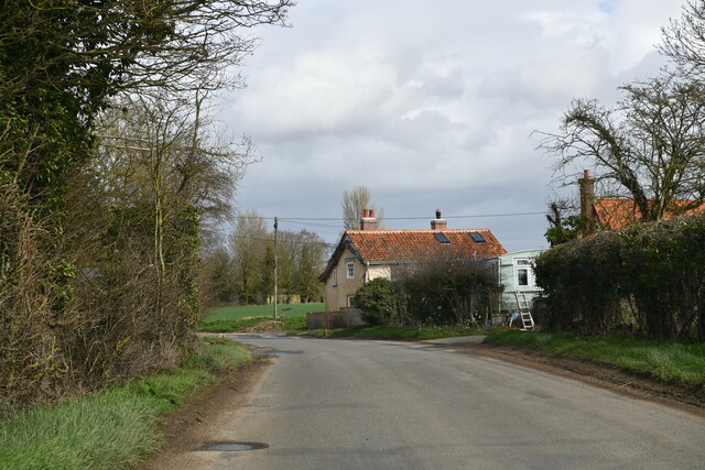
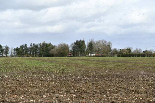
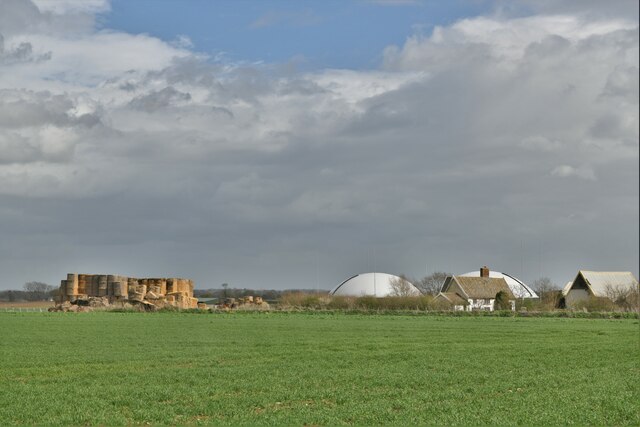
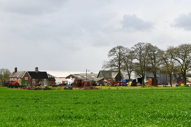
Boyland Common is a small rural area located in the county of Norfolk, England. Situated approximately 15 miles southwest of Norwich, it is a part of the South Norfolk district. This picturesque village is nestled amidst beautiful countryside, boasting rolling hills, lush green fields, and pockets of woodland.
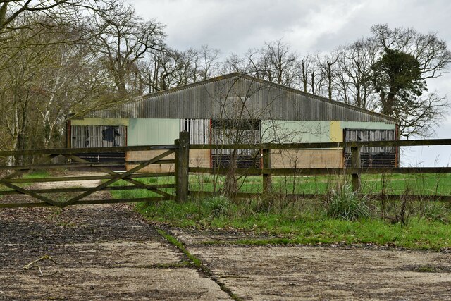
The area is predominantly agricultural, with farming being the primary occupation for the local community. The landscape is dotted with charming cottages and farmhouses, adding to the overall countryside charm. The village itself is small, with a close-knit community that prides itself on its strong sense of community spirit.
Boyland Common is surrounded by several other villages, such as Tibenham, Banham, and New Buckenham, which provide additional amenities and services for residents. The nearby market town of Attleborough, just a few miles away, offers a wider range of facilities including shops, schools, and healthcare services.
For nature enthusiasts, Boyland Common provides ample opportunities for outdoor activities. The surrounding countryside offers scenic walking and cycling routes, allowing visitors to immerse themselves in the tranquil rural setting. Additionally, the area is home to a variety of wildlife, making it a haven for birdwatchers and nature lovers.
Although Boyland Common may lack the hustle and bustle of larger towns and cities, it compensates with its peaceful and idyllic setting, making it an appealing destination for those seeking a slower pace of life and a close connection to nature.
If you have any feedback on the listing, please let us know in the comments section below.
Boyland Common Images
Images are sourced within 2km of 52.414432/1.0570127 or Grid Reference TM0884. Thanks to Geograph Open Source API. All images are credited.


Boyland Common is located at Grid Ref: TM0884 (Lat: 52.414432, Lng: 1.0570127)
Administrative County: Norfolk
District: South Norfolk
Police Authority: Norfolk
What 3 Words
///pads.fillings.sleeper. Near Banham, Norfolk
Nearby Locations
Related Wikis

Boyland Common
Boyland Common is a place in the English county of Norfolk. It lies on the border of Fersfield and Shelfanger parishes. It consists of a few scattered...

RAF Fersfield
Royal Air Force Fersfield or more simply RAF Fersfield (originally known as RAF Winfarthing) is a former Royal Air Force station located 16 miles (26 km...

Fersfield
Fersfield is a village and former civil parish, now in the parish of Bressingham, in the South Norfolk district, in the county of Norfolk, England. The...

Shelfanger
Shelfanger is a village situated about 3 miles from the town of Diss in Norfolk, England. There is a church and a village hall in the village. It covers...
Nearby Amenities
Located within 500m of 52.414432,1.0570127Have you been to Boyland Common?
Leave your review of Boyland Common below (or comments, questions and feedback).