Boyden Gate

Settlement in Kent Canterbury

England

Boyden Gate

Direction Sign – Signpost on Old Tree Road, Boyden Gate Located at Boyden Gate on the northwest side of the junction of Boyden Gate Hill, Old Tree Road and Church Lane in Hoath parish. 3 arms and pyramid finial. See also <a title="https://www.geograph.org.uk/photo/373289" href="https://www.geograph.org.uk/photo/373289">Link</a>.

Milestone Society National ID: KE_TR2265
Direction Sign – Signpost on Old Tree Road, Boyden Gate Credit: John V Nicholls

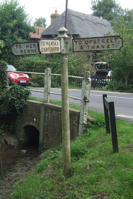
Boyden Gate is a small village located in the county of Kent, in southeastern England. It is situated approximately 6 miles southwest of the historic city of Canterbury and lies within the civil parish of Petham. The village is positioned on the eastern edge of the North Downs, an area known for its picturesque landscapes and rolling hills.

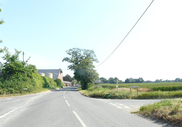
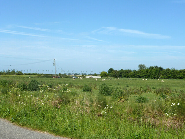
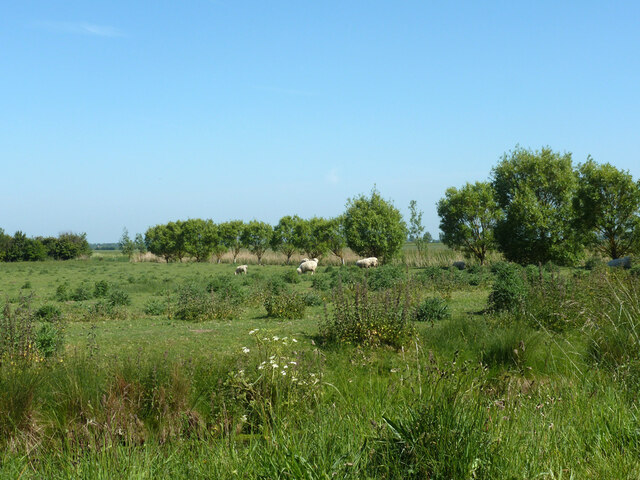
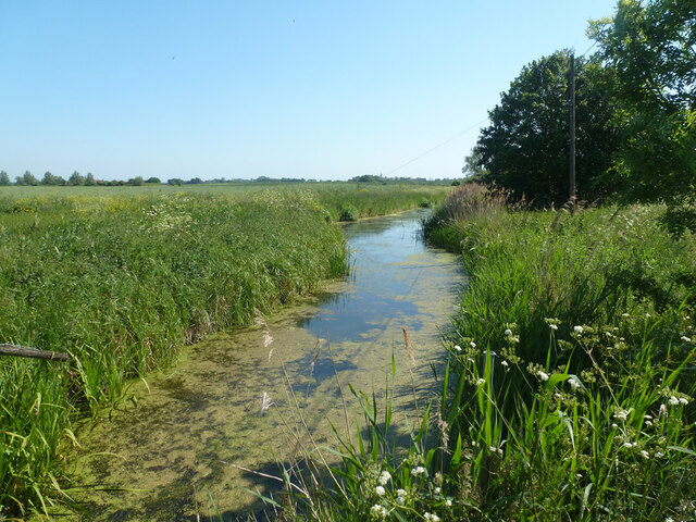
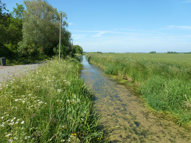
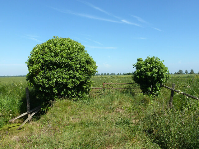
Characterized by its rural charm, Boyden Gate is home to a tight-knit community of residents. The village is primarily residential, with a scattering of traditional cottages and houses that add to its quaint appeal. The surrounding countryside offers a tranquil setting, making it an ideal location for those seeking a quieter way of life.

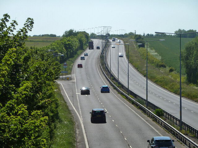
Despite its small size, Boyden Gate benefits from its proximity to nearby amenities. The vibrant city of Canterbury, with its range of shops, restaurants, and cultural attractions, is easily accessible by car or public transport. Additionally, the village is well-connected to the wider region, with the A2 and A28 roads providing convenient links to other towns and cities in Kent.

The natural beauty of the surrounding area makes Boyden Gate an attractive destination for outdoor enthusiasts. The North Downs Way, a long-distance footpath, passes close by, offering opportunities for scenic walks and hikes. The nearby Howletts Wild Animal Park provides a unique opportunity for visitors to observe a variety of wildlife species in a natural setting.

Overall, Boyden Gate offers a peaceful and idyllic lifestyle, with its charming village atmosphere and close proximity to both natural beauty and urban amenities.

If you have any feedback on the listing, please let us know in the comments section below.
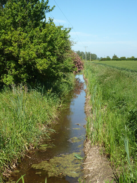
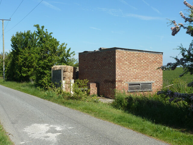
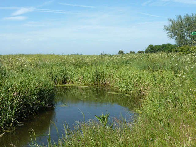
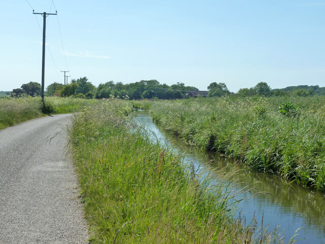
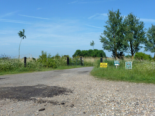
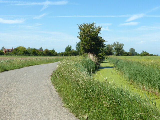
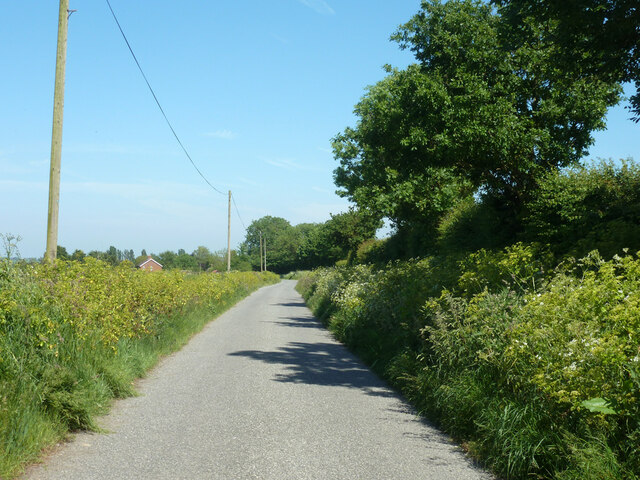
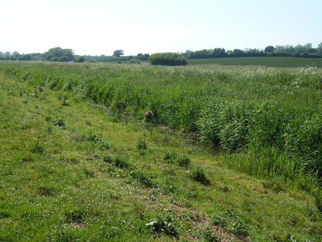
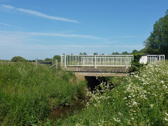
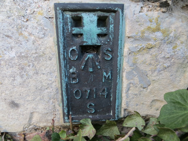
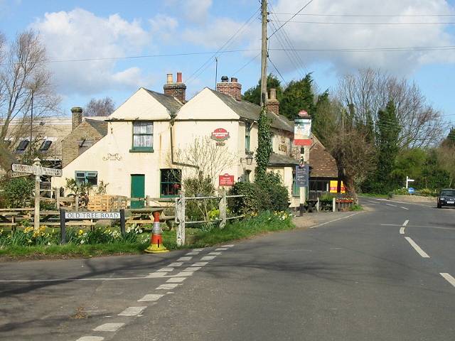
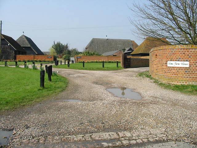
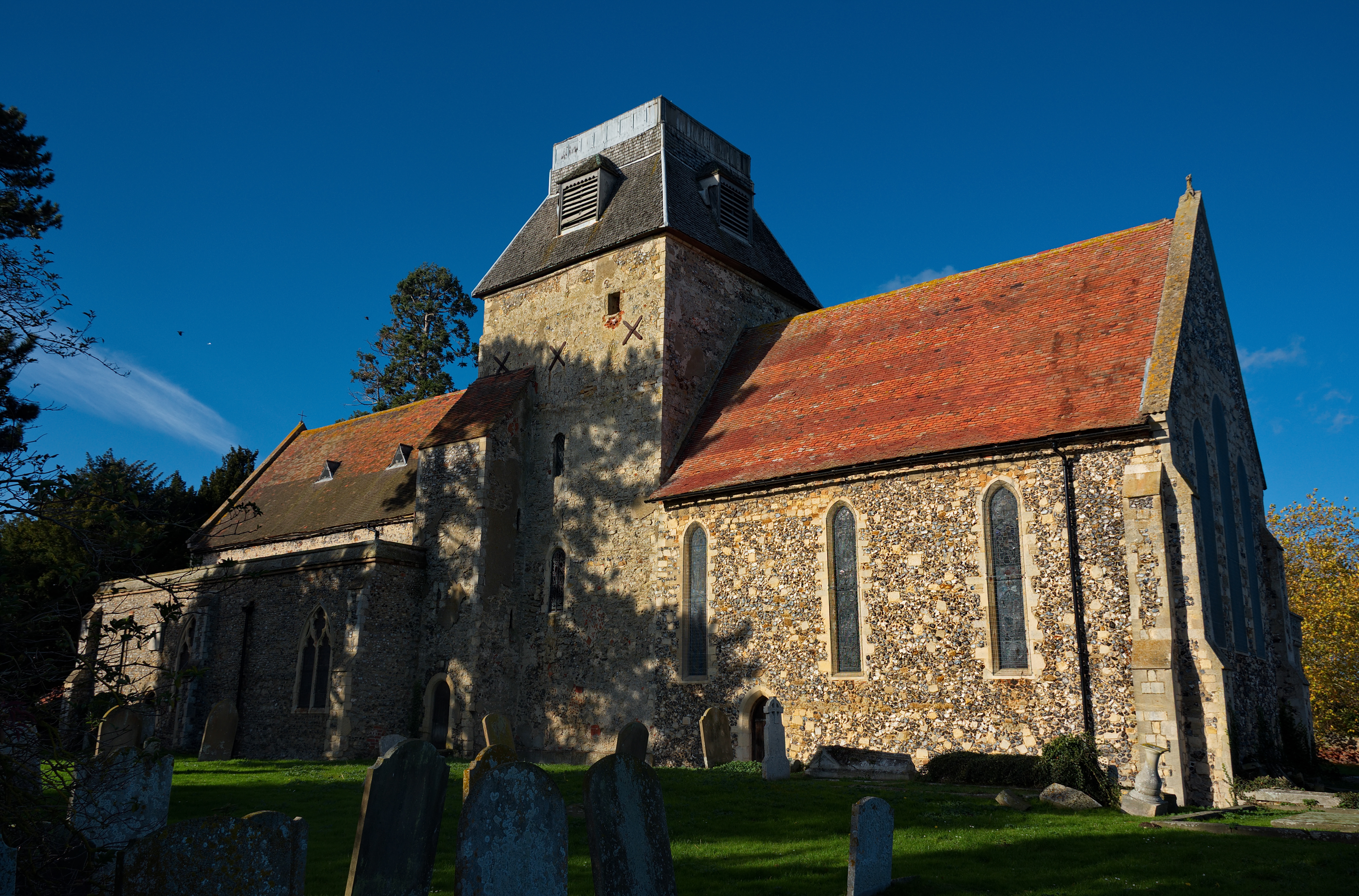
Boyden Gate Images

Images are sourced within 2km of 51.345534/1.188579 or Grid Reference TR2265. Thanks to Geograph Open Source API. All images are credited.

Direction Sign – Signpost on Old Tree Road, Boyden Gate Located at Boyden Gate on the northwest side of the junction of Boyden Gate Hill, Old Tree Road and Church Lane in Hoath parish. 3 arms and pyramid finial. See also <a title="https://www.geograph.org.uk/photo/373289" href="https://www.geograph.org.uk/photo/373289">Link</a>.

Milestone Society National ID: KE_TR2265
Direction Sign – Signpost on Old Tree Road, Boyden Gate
Located at Boyden Gate on the northwest side of the junction of Boyden Gate Hill, Old Tree Road and Church Lane in Hoath parish. 3 arms and pyramid finial. See also Link. Milestone Society National ID: KE_TR2265
Chislet Court Farm Viewed from Church Lane near to the junction with Hollow Road.
Chislet Court Farm
Viewed from Church Lane near to the junction with Hollow Road.
A299 Thanet Way looking west
Sheep grazing, Marshside
North Stream, Marshside Looking upstream, with little flow in June.
North Stream, Marshside
Looking upstream, with little flow in June.
North Stream, Marshside Looking downstream, with little flow in June.
North Stream, Marshside
Looking downstream, with little flow in June.
Bridge over North Stream, Marshside Apparently disused for field access.
Bridge over North Stream, Marshside
Apparently disused for field access.
Drain by Chitty Lane The lane is to the left.
Drain by Chitty Lane
The lane is to the left.
Pump house by Chitty Lane Later demolished.  There is a pipe passing under the lane to the drain on the other side.  It looks a bit home-made, not a drainage authority feature.  It was replaced by a modern trailed irrigation pump.
Pump house by Chitty Lane
Later demolished. There is a pipe passing under the lane to the drain on the other side. It looks a bit home-made, not a drainage authority feature. It was replaced by a modern trailed irrigation pump.
Drain by Chitty Lane
Start of Tipper Drove A private road off Chitty Lane, the way to Marshside Fishery.
Start of Tipper Drove
A private road off Chitty Lane, the way to Marshside Fishery.
Drain by Chitty Lane
Chitty Lane, Chislet Towards Chitty.
Chitty Lane, Chislet
Towards Chitty.
Nethergong Penn A rather overgrown but important drainage channel.
Nethergong Penn
A rather overgrown but important drainage channel.
Bridge over Nethergong Penn The road crossing is Nethergong Hill, at least to the right. It becomes Sandpit Hill somewhere to the left.
Bridge over Nethergong Penn
The road crossing is Nethergong Hill, at least to the right. It becomes Sandpit Hill somewhere to the left.
Ordnance Survey Flush Bracket S0714 This can be found on the wall of St Mary the Virgin Church in Chislet.
For more detail see : <span class="nowrap"><a title="http://www.bench-marks.org.uk/bm20538" rel="nofollow ugc noopener" href="http://www.bench-marks.org.uk/bm20538">Link</a><img style="margin-left:2px;" alt="External link" title="External link - shift click to open in new window" src="https://s1.geograph.org.uk/img/external.png" width="10" height="10"/></span>
Ordnance Survey Flush Bracket S0714
This can be found on the wall of St Mary the Virgin Church in Chislet. For more detail see : LinkExternal link
Show me another place!

Boyden Gate is located at Grid Ref: TR2265 (Lat: 51.345534, Lng: 1.188579)

Administrative County: Kent

District: Canterbury

Police Authority: Kent

What 3 Words

///outbursts.melon.waltz. Near Herne Bay, Kent

Nearby Locations

Boyden Gate

Related Wikis

Boyden Gate

Boyden Gate is a village in the civil parish of Chislet in Kent, England. == External links == Media related to Boyden Gate at Wikimedia Commons

Marshside, Kent

Marshside is a hamlet in the county of Kent, England. It is in the parish of Chislet alongside the Chislet Marshes southeast of Herne Bay. == Governance... ==

Highstead

Highstead is a village near Chislet, off the A299 road, in the Canterbury District, in the English county of Kent. It is near the town of Herne Bay. Highstead...

Chislet

Chislet is an English village and civil parish in northeast Kent between Canterbury and the Isle of Thanet. The parish is the second largest in the district...

Ford Palace

Ford Palace was a residence of the Archbishops of Canterbury at Ford, about 6.6 miles (10.6 km) north-east of Canterbury and 2.6 miles (4.2 km) south-east...

Hawthorn Corner

Hawthorn Corner is a hamlet near Herne Bay in Kent, England. It is part of the Herne and Broomfield civil parish and consists of a few houses and a sewage...

Grays, Kent

Grays is a hamlet within the civil parish of Chislet, near Canterbury, Kent. It is located to the south of the A299 road and is located on the North Stream...

Hoath

Hoath is a semi-rural village and civil parish in the City of Canterbury local government district. The hamlets of Knaves Ash, Maypole, Ford, Old Tree...

Nearby Amenities

Located within 500m of 51.345534,1.188579
Post Box
Collection Times: Mo-Fr 09:00; Sa 07:00
Mapillary: 152749936743799
Operator: Royal Mail
Operator Wikidata: Q638098
Post Box Mounting: metal_post
Post Box Type: lamp
Postal Code: CT3
Ref: CT3 27
Royal Cypher: EIIR
Royal Cypher Wikidata: Q33102113
Source: survey
Survey Date: 2020-07-30
Lat/Long: 51.3461754/1.1872021
Barrier: stile
Foot: yes
Source: survey
Lat/Long: 51.346971/1.1897349
Public Bookcase
Booth: K6
Disused Amenity: telephone
Man Made: telephone_box
Public Bookcase Type: phone_box
Lat/Long: 51.3466565/1.1898242
Barrier: stile
Foot: yes
Source: survey
Lat/Long: 51.3470981/1.1898601
Barrier: stile
Foot: yes
Source: survey
Lat/Long: 51.3473298/1.1900007
Barrier: stile
Foot: yes
Source: survey
Lat/Long: 51.3476474/1.1900555
The data included in this document is from www.openstreetmap.org. The data is made available under ODbL.

Have you been to Boyden Gate?

Leave your review of Boyden Gate below (or comments, questions and feedback).