Walford
Settlement in Staffordshire Stafford
England
Walford
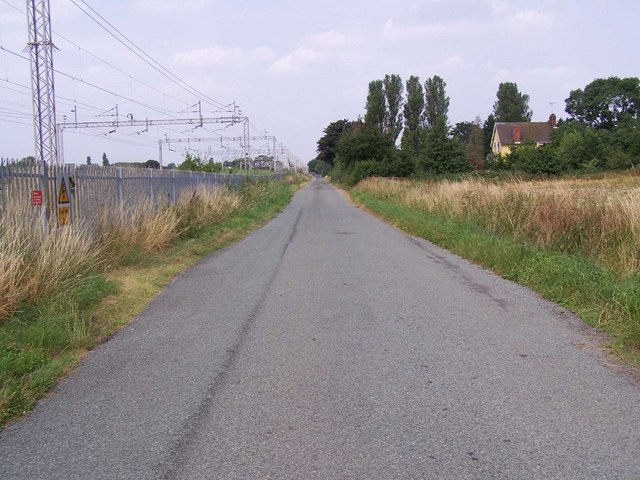
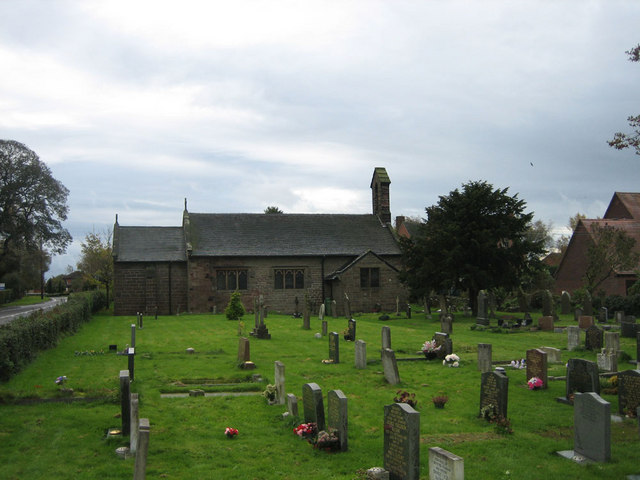
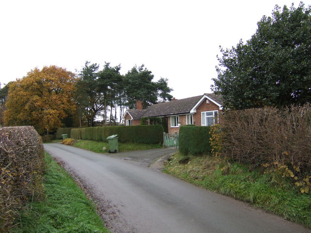
Walford is a small village located in the county of Staffordshire, England. Situated approximately 8 miles southwest of the county town of Stafford, it is nestled in the picturesque countryside of the West Midlands region.
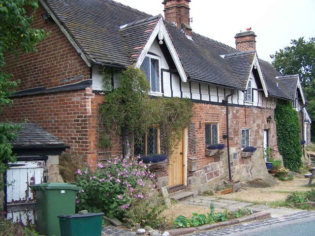
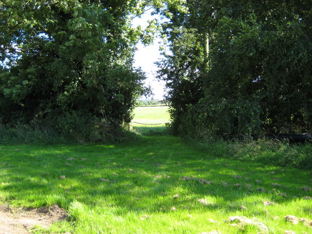
The village is characterized by its charming and idyllic setting, surrounded by rolling hills, lush green fields, and quaint cottages. With a population of around 500 residents, Walford maintains a close-knit community atmosphere where neighbors know each other by name.
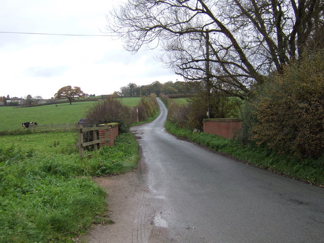
Walford is primarily an agricultural community, with farming being the main occupation of its inhabitants. The village is dotted with farms and agricultural fields, producing a variety of crops and livestock. This agricultural heritage is celebrated annually with the Walford Agricultural Show, a popular event that attracts visitors from near and far.
Despite its small size, Walford offers a range of amenities for its residents. The village has a local pub, The Farmer's Arms, where locals can gather for a pint and a hearty meal. There is also a village hall that serves as a venue for community gatherings, events, and activities.
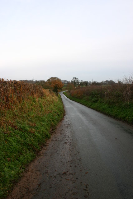
The surrounding countryside provides ample opportunities for outdoor activities such as hiking, cycling, and horseback riding. Walford is located near several nature reserves and parks, including Cannock Chase, a designated Area of Outstanding Natural Beauty.
Overall, Walford is a charming rural village that offers a peaceful and close-knit community, surrounded by scenic countryside and providing a tranquil escape from the hustle and bustle of city life.
If you have any feedback on the listing, please let us know in the comments section below.
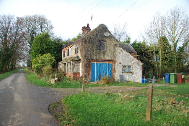
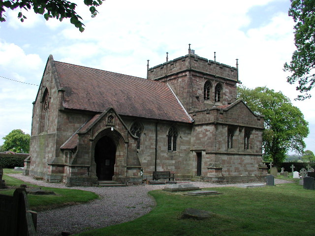
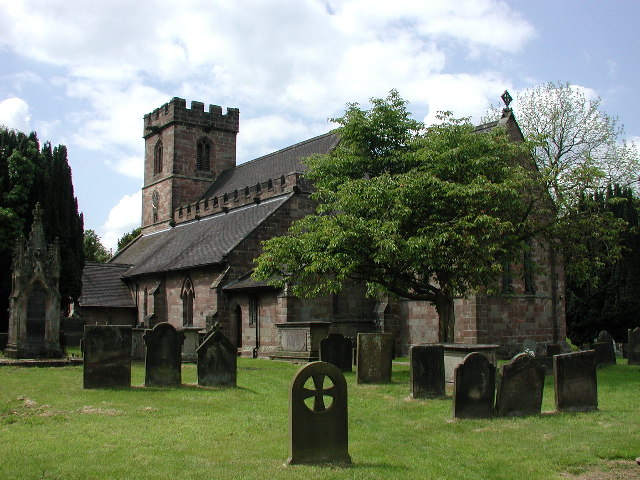
Walford Images
Images are sourced within 2km of 52.902657/-2.271295 or Grid Reference SJ8133. Thanks to Geograph Open Source API. All images are credited.


Walford is located at Grid Ref: SJ8133 (Lat: 52.902657, Lng: -2.271295)
Administrative County: Staffordshire
District: Stafford
Police Authority: Staffordshire
What 3 Words
///spans.shakes.entitles. Near Standon, Staffordshire
Related Wikis

Bowers, Staffordshire
Bowers is a village in Staffordshire, England. For population details as taken in the 2011 census see Standon.

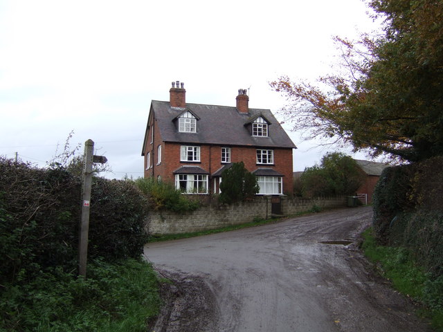
Standon, Staffordshire
Standon is a village and civil parish in the Stafford district, in the county of Staffordshire, England. Standon has a church called Church of All Saints...

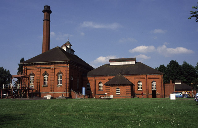
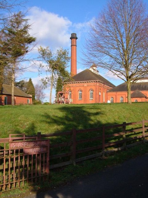
Mill Meece Pumping Station
Mill Meece Pumping Station is a pumping station, located in the village of Mill Meece in Staffordshire, England. Its function, powered by steam engines...
Standon Bridge railway station
Standon Bridge railway station was a railway station in Standon, approximately 4 miles (6.4 km) west of Stone, Staffordshire. The station closed on 4 February...

A519 road
The A519 is a road in the Midlands, United Kingdom. == Route == It that runs between Newcastle-under-Lyme, Staffordshire and Newport, Shropshire. At Newport...
Coombesdale
Coombesdale is a small settlement in Staffordshire, England. It is near the A51 road and is 6 kilometres (4 mi) southwest of the city of Stoke-on-Trent...
HM Prison Drake Hall
HMP Prison Drake Hall is a women's closed prison, located near the town of Eccleshall in Staffordshire, England. The prison is operated by His Majesty...
Croxton, Staffordshire
Croxton is a village on the B5026 between Eccleshall and Loggerheads. Population details for the 2011 census can be found under Eccleshall. It is notable...
Nearby Amenities
Located within 500m of 52.902657,-2.271295Have you been to Walford?
Leave your review of Walford below (or comments, questions and feedback).