Walford

Settlement in Shropshire

England

Walford

Lane to a house I wonder what is up there? Looks nice.
Lane to a house Credit: Jeremy Bolwell

Walford is a picturesque village located in the county of Shropshire, England. Situated in the heart of the West Midlands, Walford is surrounded by stunning countryside and boasts a tranquil atmosphere that attracts both locals and visitors alike.

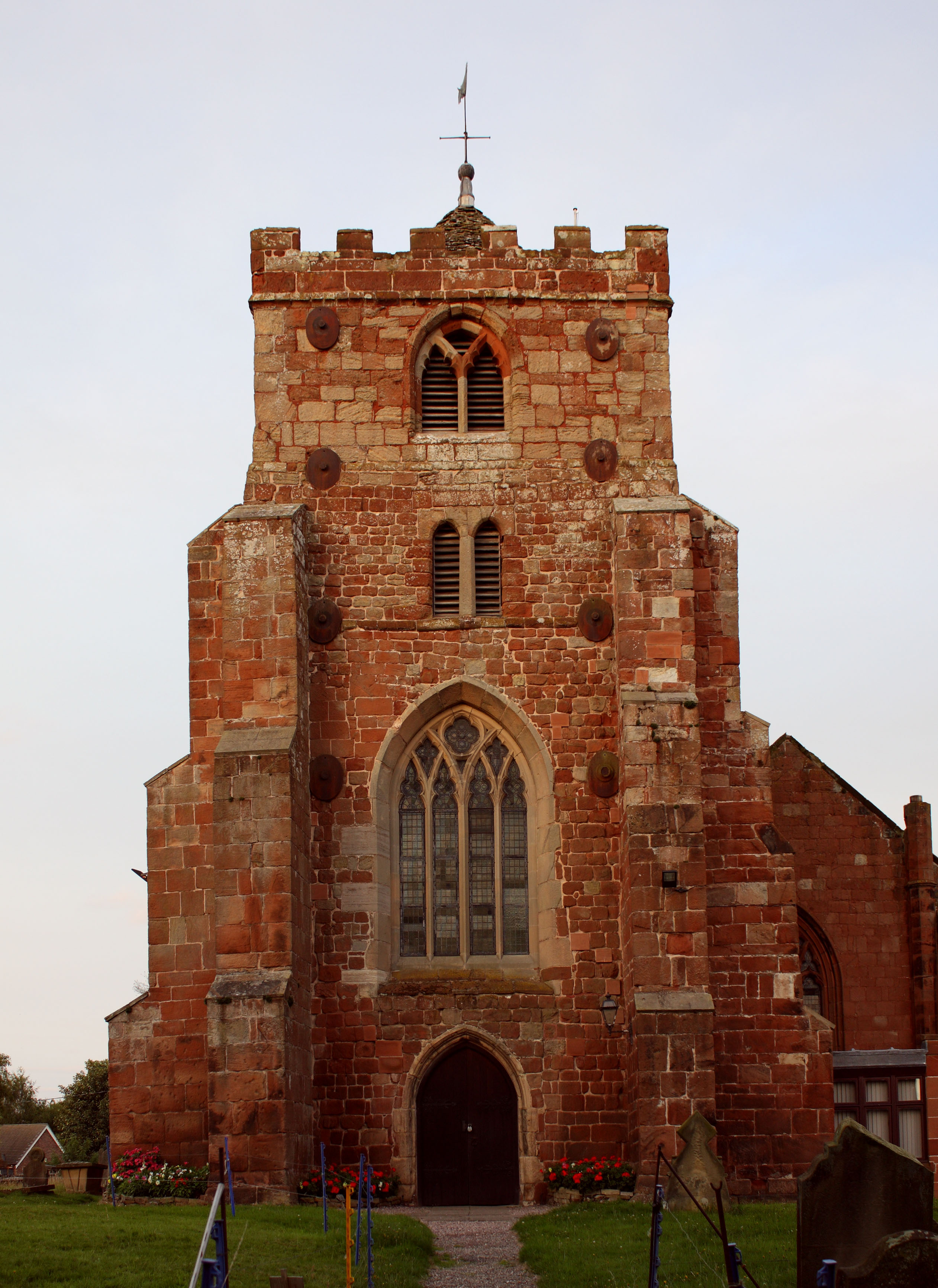
The village is known for its rich history, with evidence of human habitation dating back to the Iron Age. Walford's historic charm can be seen in its architecture, with several well-preserved buildings from different periods. The St. Michael and All Angels Church, a Grade II listed building, is a notable example of medieval architecture and is a popular destination for history enthusiasts.

Nature enthusiasts will find plenty to explore in Walford. The village is surrounded by rolling hills and lush green fields, making it an ideal destination for hiking, cycling, and long walks. The nearby River Severn offers opportunities for fishing and boating, adding to the village's appeal for outdoor enthusiasts.

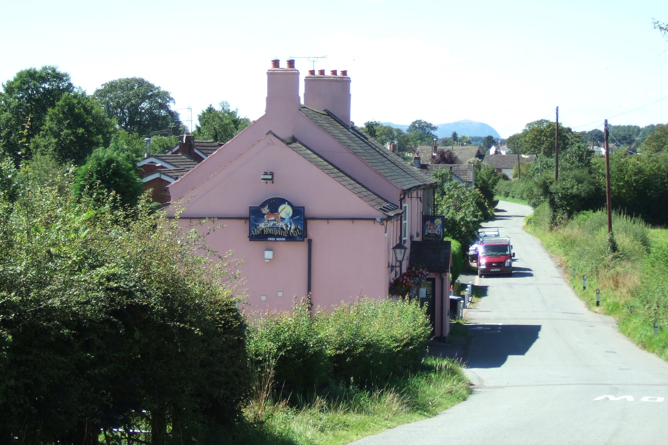
In terms of amenities, Walford offers a range of conveniences to its residents. The village is home to a local pub, The Crown, which serves traditional English food and drinks. There is also a primary school, a village hall that hosts community events, and a small convenience store for everyday needs.

With its rich history, natural beauty, and welcoming community, Walford is a hidden gem in the heart of Shropshire. Whether you are seeking a peaceful getaway or a place to call home, Walford offers a unique charm that is sure to captivate all who visit.

If you have any feedback on the listing, please let us know in the comments section below.
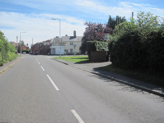
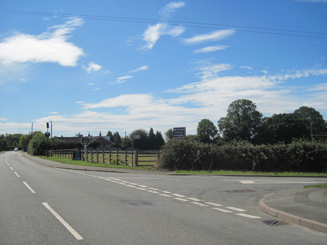
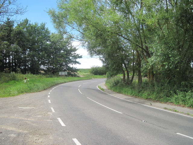
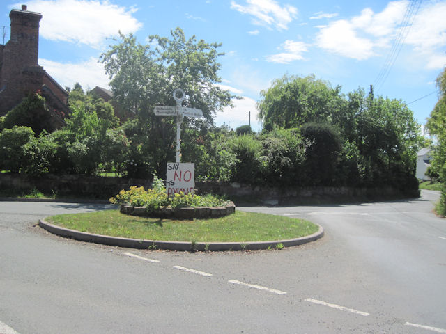
Walford Images

Images are sourced within 2km of 52.780243/-2.8379021 or Grid Reference SJ4320. Thanks to Geograph Open Source API. All images are credited.

Lane to a house I wonder what is up there? Looks nice.
Lane to a house
I wonder what is up there? Looks nice.
Bend on the lane Is that a church tower ahead?
Bend on the lane
Is that a church tower ahead?
View to the church tower of All Saints in Baschurch It is always nice to spot a church tower when you're walking across unknown country. They are usually good landmarks and helpful navigation aids.
View to the church tower of All Saints in Baschurch
It is always nice to spot a church tower when you're walking across unknown country. They are usually good landmarks and helpful navigation aids.
Collection of stuff Stuff is always eye-catching.
Collection of stuff
Stuff is always eye-catching.
Roadside warning sign for horse riders Or ghost riders, maybe, in the case of this rather weathered example...

It brings to mind this old song, Youtube <span class="nowrap"><a title="https://www.youtube.com/watch?v=nOWjX4BpC24" rel="nofollow ugc noopener" href="https://www.youtube.com/watch?v=nOWjX4BpC24">Link</a><img style="margin-left:2px;" alt="External link" title="External link - shift click to open in new window" src="https://s1.geograph.org.uk/img/external.png" width="10" height="10"/></span> here.
Roadside warning sign for horse riders
Or ghost riders, maybe, in the case of this rather weathered example... It brings to mind this old song, Youtube LinkExternal link here.
Part of the River Perry What an attractive little river.
Part of the River Perry
What an attractive little river.
Old stone bridge over the River perry A really nice road bridge to trot across.
Old stone bridge over the River perry
A really nice road bridge to trot across.
Lakeside housing development at Prescott near Baschurch The Lakeside sign here refers to the executive-style homes built here, I think.

The entrance drive looks like it may well be un-adopted...

Oh well, none of my business.
Lakeside housing development at Prescott near Baschurch
The Lakeside sign here refers to the executive-style homes built here, I think. The entrance drive looks like it may well be un-adopted... Oh well, none of my business.
T-junction at Prescott near Baschurch Nice sign.
T-junction at Prescott near Baschurch
Nice sign.
Large Lebanese Cedar tree beside the road What a beauty. It has suffered a limb drop I think.
Large Lebanese Cedar tree beside the road
What a beauty. It has suffered a limb drop I think.
Old cottage beside the road A nice unique home to own.
Old cottage beside the road
A nice unique home to own.
Old set-aside area adjacent to a strip of woodland I think that is what it was.
Old set-aside area adjacent to a strip of woodland
I think that is what it was.
Rural lane near Prescott The distant views are to the Shropshire Hills around Church Stretton.
Rural lane near Prescott
The distant views are to the Shropshire Hills around Church Stretton.
Baschurch cross roads from B4397 eastbound
Junction of Nobold and Shrewsbury Road Looking towards Shrewsbury
Junction of Nobold and Shrewsbury Road
Looking towards Shrewsbury
Entrance to Prescott Grange On Yeaton road just south of B5067 roundabout
Entrance to Prescott Grange
On Yeaton road just south of B5067 roundabout
B5067 at Walford Pool Walford Pool is behind trees on right
B5067 at Walford Pool
Walford Pool is behind trees on right
Start of footpath opposite Walford Pool From Lay By on B5067
Start of footpath opposite Walford Pool
From Lay By on B5067
Show me another place!

Walford is located at Grid Ref: SJ4320 (Lat: 52.780243, Lng: -2.8379021)

Unitary Authority: Shropshire

Police Authority: West Mercia

What 3 Words

///units.jets.available. Near Baschurch, Shropshire

Nearby Locations

Walford Pool Walford

Related Wikis

Walford, Shropshire

Walford is a small village in Shropshire, England. It is notable for its agricultural college (Walford and North Shropshire College). The B5067, Shrewsbury...

Yeaton

Yeaton is a small village in Shropshire, England. It is situated in the parish of Baschurch. The River Perry flows by to the south, and on the other side...

Baschurch

Baschurch is a large village and civil parish in Shropshire, England. It lies in the north of Shropshire. The village had a population of 2,503 as of the...

Old Woods, Shropshire

Old Woods is a hamlet in Shropshire, England, located 4 miles (6.4 km) to the north-west of Shrewsbury. It is alternatively known and spelt as Oldwood...

The Corbet School

The Corbet School is a mixed secondary school located in Baschurch in the English county of Shropshire.Originally known as Baschurch Secondary Modern School...

Grafton, Shropshire

Grafton is a hamlet in Shropshire, England. Its name probably refers to a coppiced wood.It is situated in the parish of Pimhill, to the northwest of Shrewsbury...

Oldwoods Halt railway station

Oldwoods Halt was a minor station located north of Shrewsbury on the GWR's Paddington to Birkenhead Woodside main line. It was opened in the nineteen thirties...

Adcote School

Adcote School is a non-selective independent day and boarding school for girls, located in the village of Little Ness, 5 miles (8.0 km) northwest of Shrewsbury...

Nearby Amenities

Located within 500m of 52.780243,-2.8379021
Walford
Is In: Shropshire, England, United Kingdom
Place: village
Wikidata: Q3876878
Lat/Long: 52.7798895/-2.8369846
Waterway: weir
Lat/Long: 52.7799805/-2.843593
Historic: milestone
Lat/Long: 52.7800396/-2.8412211
Path: crossing
Lat/Long: 52.7796387/-2.8379325
Traffic Calming: bump
Lat/Long: 52.7796974/-2.8380877
Traffic Calming: bump
Lat/Long: 52.7798117/-2.8381002
Traffic Calming: bump
Lat/Long: 52.7796482/-2.8379712
Barrier: cattle_grid
Lat/Long: 52.7803914/-2.8391594
The data included in this document is from www.openstreetmap.org. The data is made available under ODbL.

Have you been to Walford?

Leave your review of Walford below (or comments, questions and feedback).