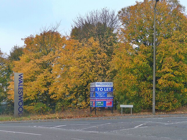
Waleswood
Settlement in Yorkshire
England
Waleswood
Waleswood is a small village located in the metropolitan borough of Rotherham, South Yorkshire, England. Situated on the eastern edge of the Peak District National Park, it falls within the civil parish of Aston cum Aughton. The village is nestled amidst picturesque woodlands and rolling hills, offering a serene and idyllic setting.
Waleswood is primarily a residential area, characterized by its charming stone-built houses and cottages, many of which date back to the 19th century. The village retains a strong sense of community, with a close-knit population that actively participates in local events and initiatives. The tranquil surroundings make Waleswood an appealing place for those seeking a peaceful and rural lifestyle.
Despite its small size, Waleswood benefits from its proximity to nearby towns and cities. Rotherham is only a short drive away, providing residents with access to a wide range of amenities, including shops, supermarkets, and healthcare services. The village also benefits from excellent transportation links, with the M1 motorway and various bus routes passing nearby, facilitating easy travel to and from the area.
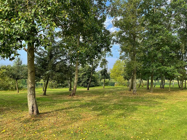
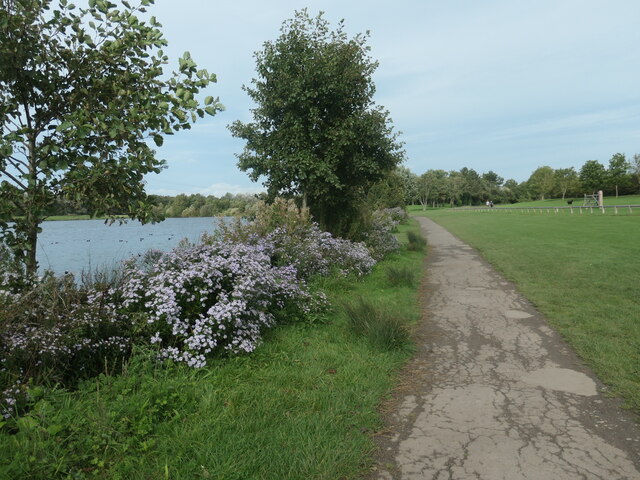
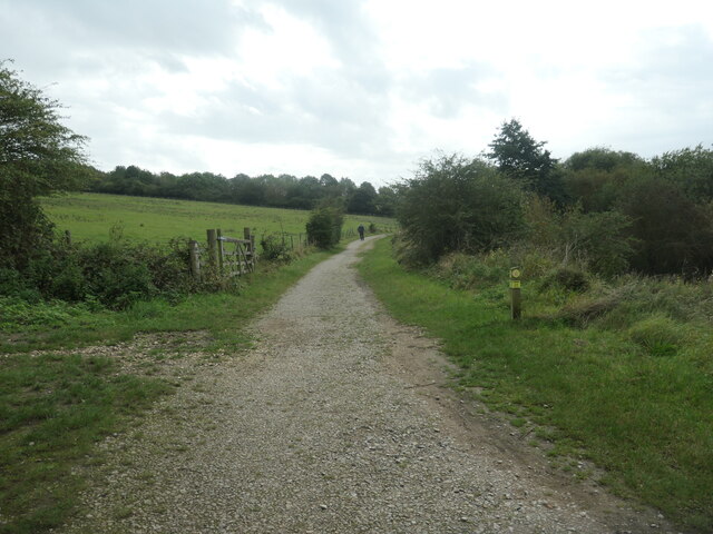
For nature enthusiasts, Waleswood offers ample opportunities for outdoor activities. The surrounding woodlands and countryside provide picturesque walking trails, perfect for exploring the natural beauty of the region. The nearby Peak District National Park further enhances the appeal of Waleswood, with its stunning landscapes, hiking routes, and diverse wildlife.
Overall, Waleswood, Yorkshire, is a charming village that combines rural tranquility with convenient access to nearby amenities. Its beautiful surroundings and strong sense of community make it an attractive place to live for those seeking a peaceful and picturesque setting.
If you have any feedback on the listing, please let us know in the comments section below.
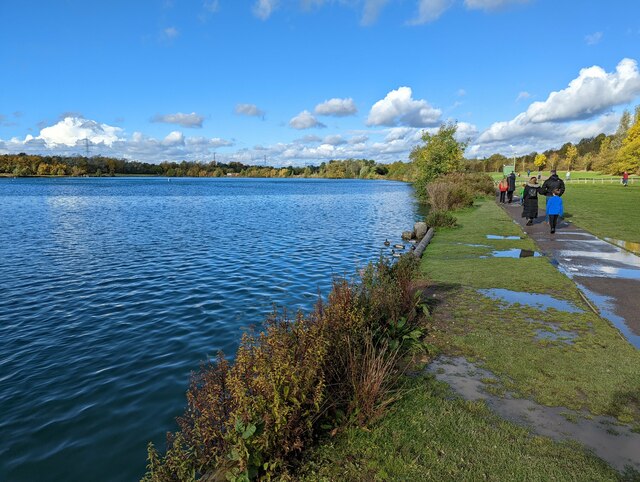
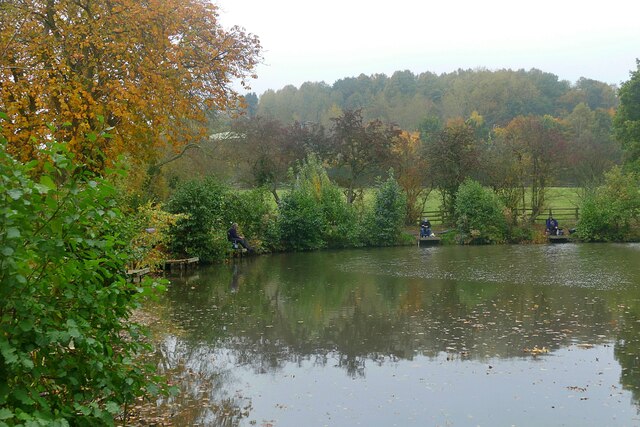
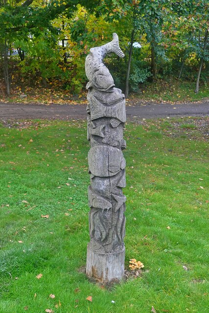
Waleswood Images
Images are sourced within 2km of 53.345057/-1.313515 or Grid Reference SK4583. Thanks to Geograph Open Source API. All images are credited.
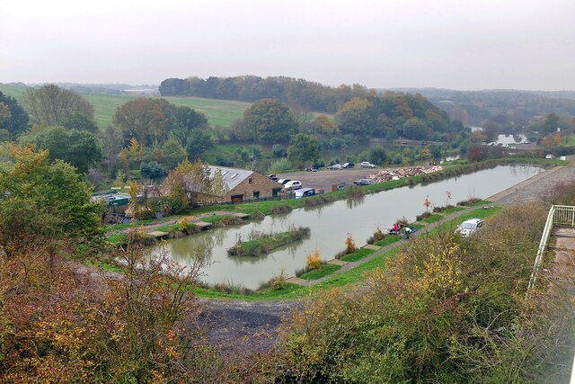
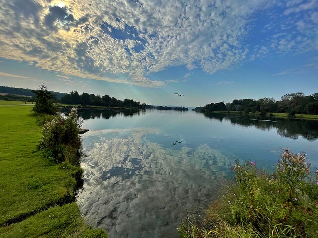
![River Rother, Rother Valley country park Looking downstream [locally north] from Pit Lane bridge. For more information and a view of the river sixteen years earlier, see <a href="https://www.geograph.org.uk/photo/539706">SK4583 : River Rother, near Waleswood</a>.](https://s1.geograph.org.uk/geophotos/07/62/10/7621001_cc33bb09.jpg)
Waleswood is located at Grid Ref: SK4583 (Lat: 53.345057, Lng: -1.313515)
Division: West Riding
Unitary Authority: Rotherham
Police Authority: South Yorkshire
What 3 Words
///waving.downs.rewriting. Near Beighton, South Yorkshire
Nearby Locations
Related Wikis

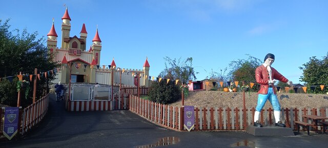
Gulliver's Valley
Gulliver's Valley is a theme park and resort located in Rotherham, England. Construction began in 2018 at a planned cost of £37 million. The first phase...
Beighton Junction
Beighton Junction is a set of railway junctions near Beighton on the border between Derbyshire and South Yorkshire, England. == Scope == The term Beighton...
Waleswood Colliery
Waleswood Colliery was a coal mine situated between Swallownest and Wales Bar, near Rotherham, South Yorkshire, England. The colliery was adjacent to the...
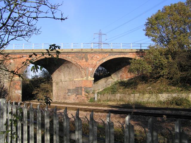
Waleswood railway station
Waleswood railway station is a former railway station on the Great Central Railway's main line between Sheffield Victoria and Worksop, England. The station...

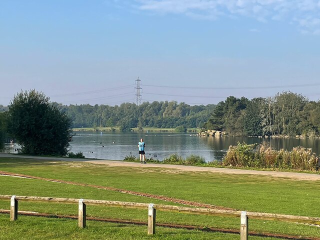
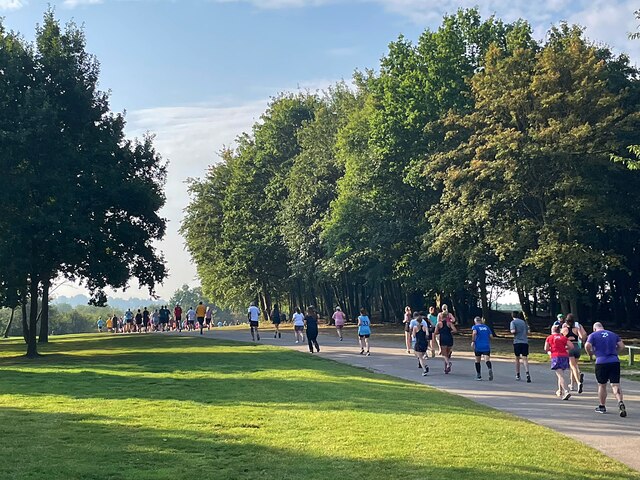
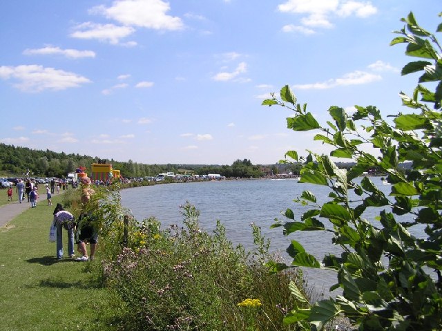
Rother Valley Country Park
The Rother Valley Country Park is a country park in the Metropolitan Borough of Rotherham, South Yorkshire, England, close to Rotherham's border with Sheffield...
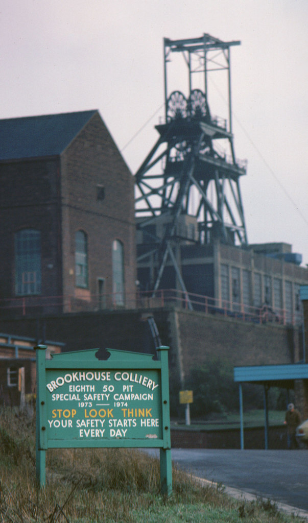
Brookhouse Colliery
Brookhouse Colliery was a coal mine within the Metropolitan Borough of Rotherham, South Yorkshire, England. It was operational between 1929 and 1985. To...
North Staveley Colliery
Aston Colliery was a small coal mine sunk on Aston Common, within Rotherham Rural District but six miles east of Sheffield in the 1840s. In 1864 its workings...

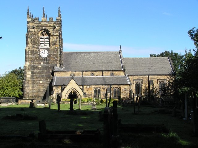
Aston, South Yorkshire
Aston is a residential village in the Metropolitan Borough of Rotherham, South Yorkshire, England. The village falls within the Holderness ward of the...
Nearby Amenities
Located within 500m of 53.345057,-1.313515Have you been to Waleswood?
Leave your review of Waleswood below (or comments, questions and feedback).