Aspley
Settlement in Staffordshire Stafford
England
Aspley
Aspley is a small village located in the county of Staffordshire, England. Situated approximately 4 miles south of the town of Newcastle-under-Lyme, it is a rural settlement surrounded by picturesque countryside and rolling hills. With a population of around 500 residents, Aspley offers a peaceful and tight-knit community atmosphere.
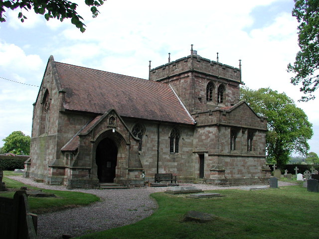
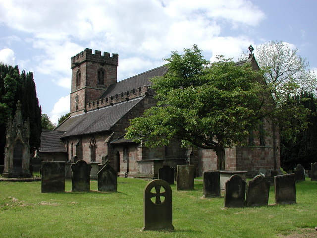
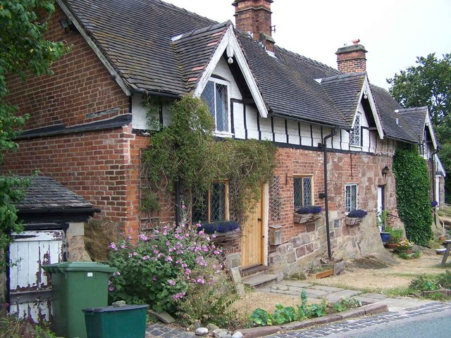
The village is known for its historic charm, with many buildings dating back several centuries. The centerpiece of Aspley is the St. Margaret's Church, a beautiful Grade II listed building that dates back to the 12th century. The church's architecture and stained glass windows are a testament to the village's rich heritage.
Despite its small size, Aspley has a few amenities to cater to its residents. A local pub, The Red Lion, provides a gathering place for locals and visitors alike, offering a cozy atmosphere and traditional pub food. There is also a village hall which hosts various community events and activities throughout the year.
Aspley is surrounded by lush countryside and green spaces, making it an ideal location for outdoor enthusiasts. The village is close to several nature reserves and parks, providing ample opportunities for walking, hiking, and exploring the natural beauty of the area.
Transport links are relatively limited in Aspley, with the nearest train station located in Newcastle-under-Lyme. However, the village enjoys good road connections, with the A34 and A500 nearby, providing easy access to larger towns and cities in the region.
Overall, Aspley offers a charming and tranquil village setting, perfect for those seeking a peaceful retreat in the heart of Staffordshire.
If you have any feedback on the listing, please let us know in the comments section below.
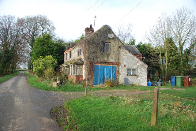
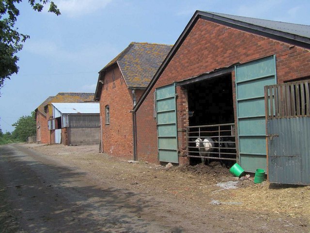
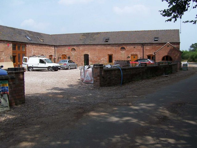
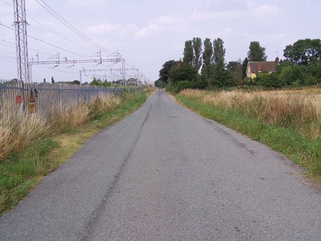
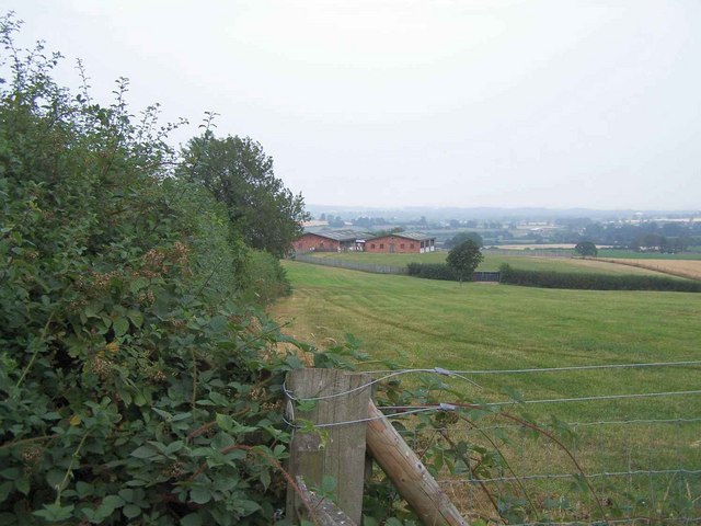
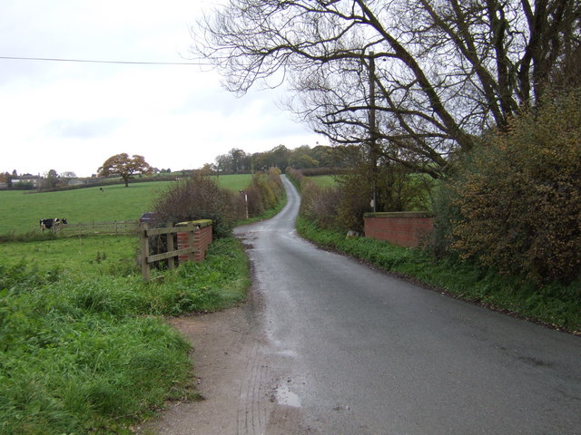
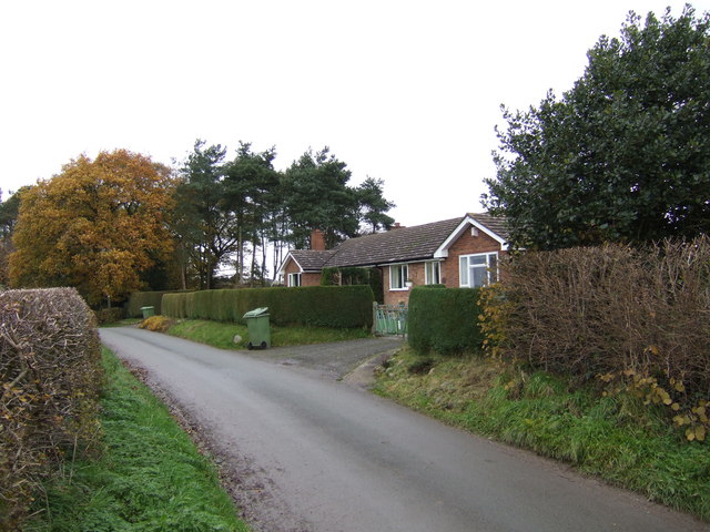
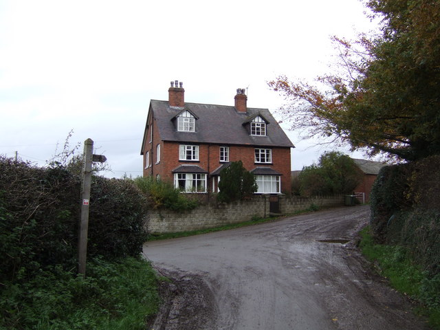
Aspley Images
Images are sourced within 2km of 52.895461/-2.27348 or Grid Reference SJ8133. Thanks to Geograph Open Source API. All images are credited.


Aspley is located at Grid Ref: SJ8133 (Lat: 52.895461, Lng: -2.27348)
Administrative County: Staffordshire
District: Stafford
Police Authority: Staffordshire
What 3 Words
///exulted.greet.gained. Near Standon, Staffordshire
Related Wikis

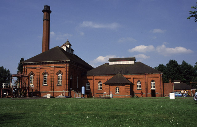
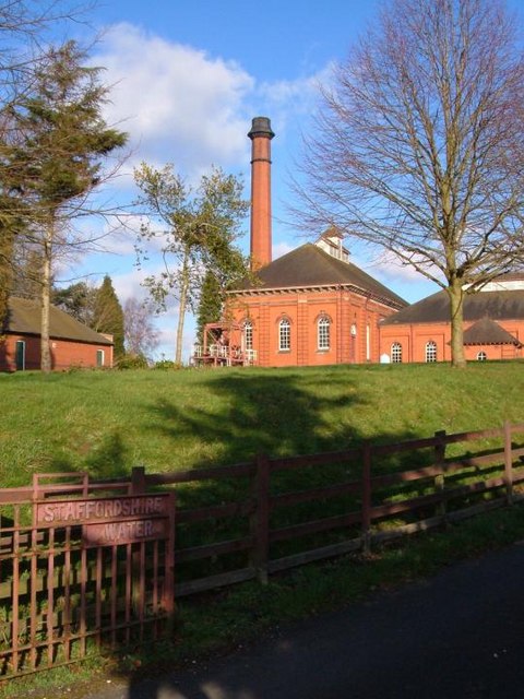
Mill Meece Pumping Station
Mill Meece Pumping Station is a pumping station, located in the village of Mill Meece in Staffordshire, England. Its function, powered by steam engines...

Bowers, Staffordshire
Bowers is a village in Staffordshire, England. For population details as taken in the 2011 census see Standon.

Standon, Staffordshire
Standon is a village and civil parish in the Stafford district, in the county of Staffordshire, England. Standon has a church called Church of All Saints...

A519 road
The A519 is a road in the Midlands, United Kingdom. == Route == It that runs between Newcastle-under-Lyme, Staffordshire and Newport, Shropshire. At Newport...
Standon Bridge railway station
Standon Bridge railway station was a railway station in Standon, approximately 4 miles (6.4 km) west of Stone, Staffordshire. The station closed on 4 February...
HM Prison Drake Hall
HMP Prison Drake Hall is a women's closed prison, located near the town of Eccleshall in Staffordshire, England. The prison is operated by His Majesty...
Eccleshall F.C.
Eccleshall Football Club is a football club based in Eccleshall, Staffordshire, England. They are currently members of the North West Counties League Division...
Croxton, Staffordshire
Croxton is a village on the B5026 between Eccleshall and Loggerheads. Population details for the 2011 census can be found under Eccleshall. It is notable...
Nearby Amenities
Located within 500m of 52.895461,-2.27348Have you been to Aspley?
Leave your review of Aspley below (or comments, questions and feedback).