Boxley

Settlement in Kent Maidstone

England

Boxley

M20 Junction 6 from the air The M20 runs from left to right through the junction, with the A229 running top to bottom. The M2 motorway can be seen crossing the River Medway in the distance. Viewed from a gatwick bound flight from Prague.
M20 Junction 6 from the air Credit: Thomas Nugent

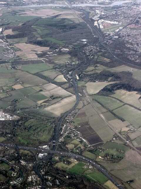
Boxley is a village and civil parish located in the county of Kent, England. Situated approximately 3 miles northwest of Maidstone, the village is nestled in the picturesque Kent Downs, an Area of Outstanding Natural Beauty.

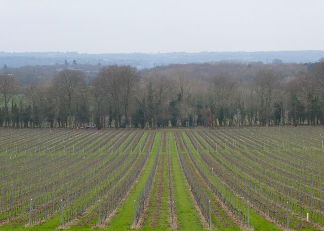
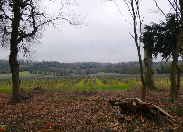
The history of Boxley dates back to the Roman times, as evidenced by the remains of a Roman villa discovered in the area. Over the centuries, the village has served primarily as an agricultural community, with farming and fruit growing being the main industries.

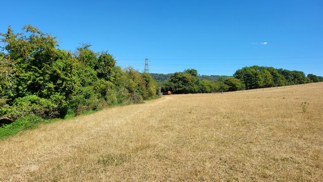
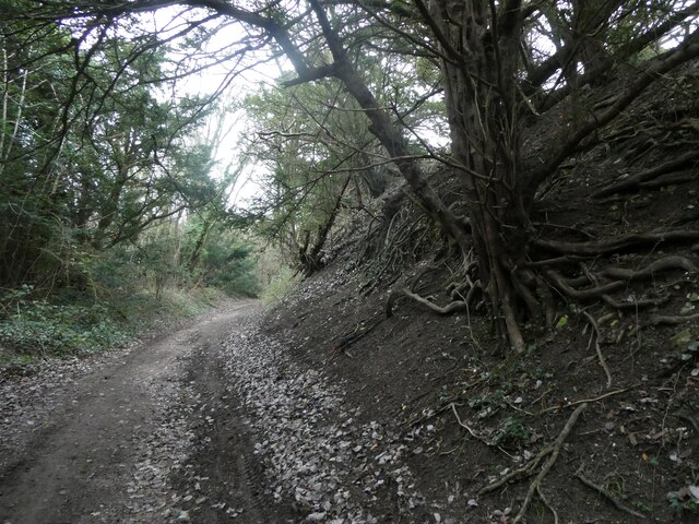
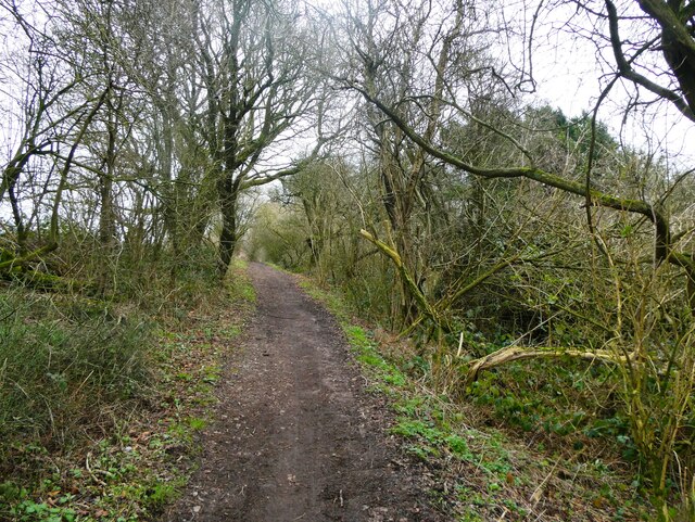
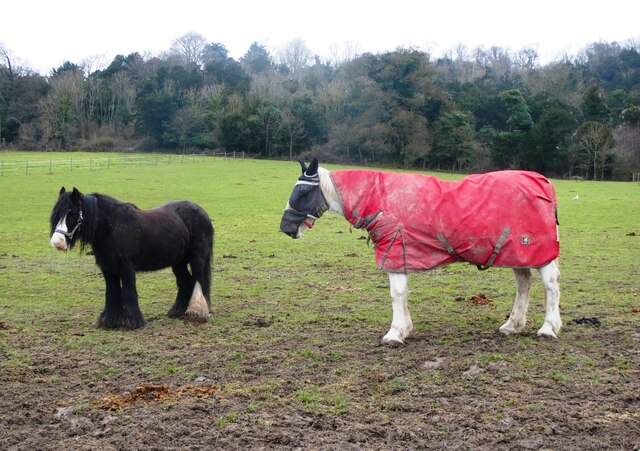
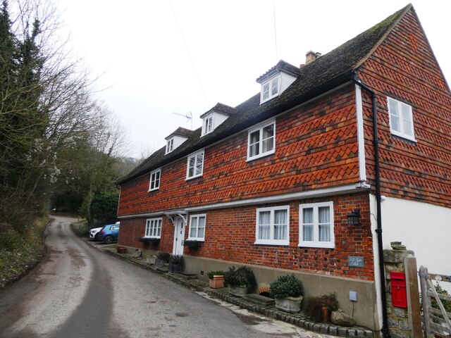
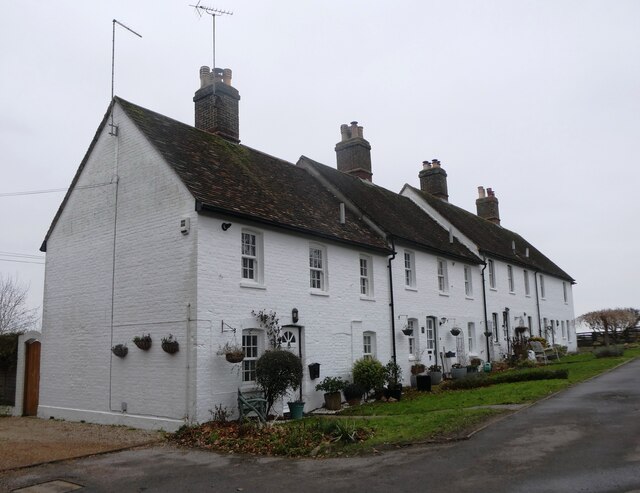
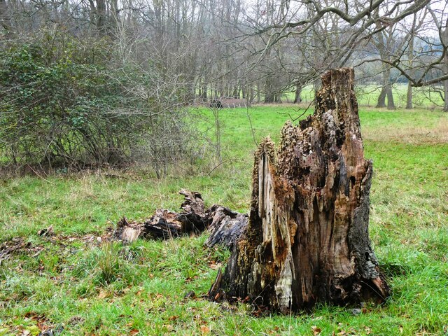
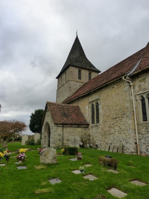
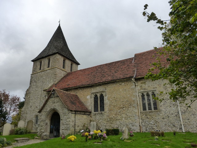
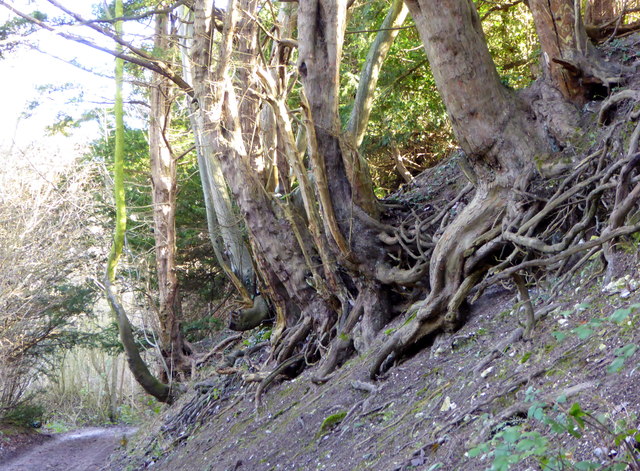
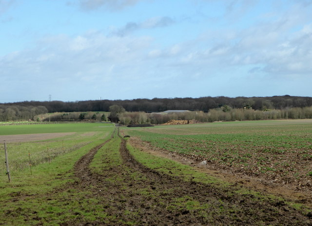
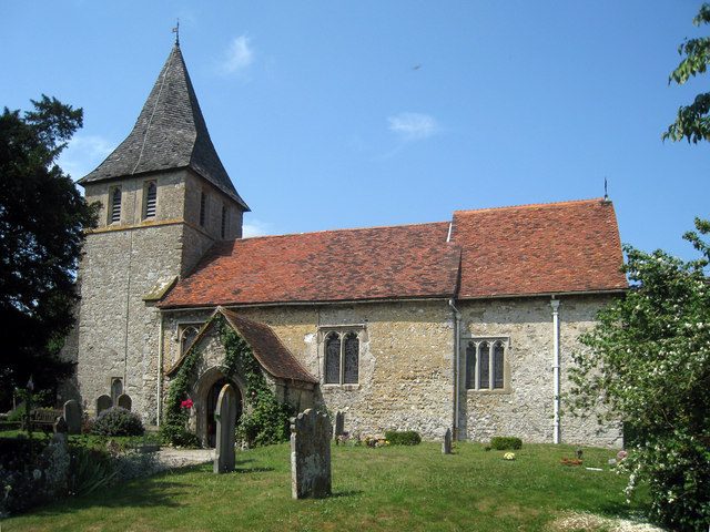
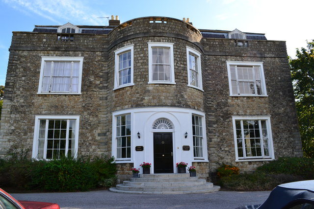
Today, Boxley retains its rural charm and is renowned for its beautiful countryside, dotted with rolling hills and charming woodland areas. The village itself is small and compact, featuring a mix of historic buildings and newer developments. Notable landmarks include the 12th-century parish church of St. Mary and All Saints, which boasts a magnificent tower and stained glass windows.

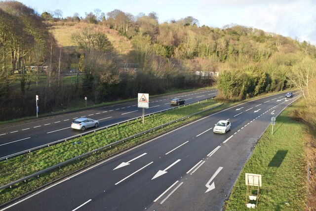
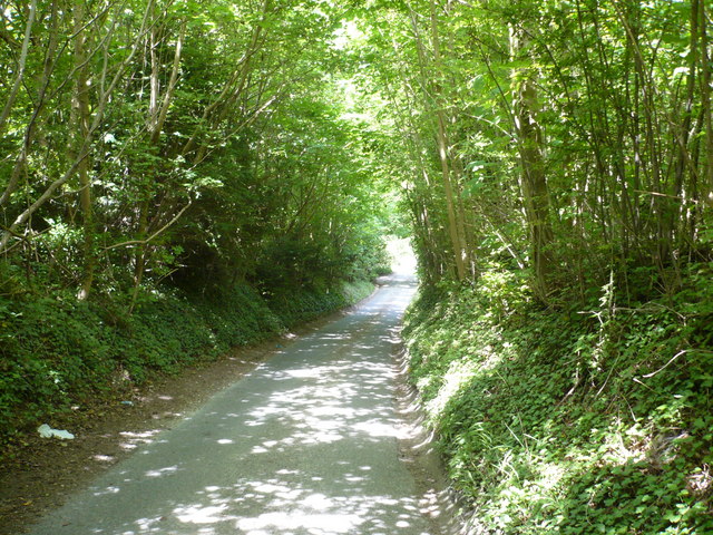
Boxley is well-connected to the surrounding areas by road, with the A229 passing through the village, providing easy access to Maidstone and the nearby M20 motorway. The village also benefits from a regular bus service, linking it to Maidstone and other nearby towns.

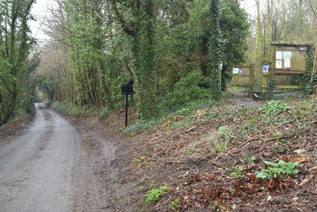
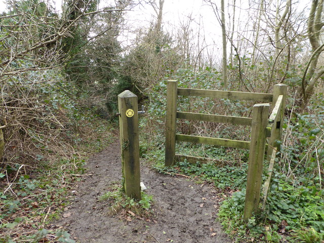
In terms of amenities, Boxley offers a range of local shops, a village hall, and a primary school. The village is also surrounded by ample opportunities for outdoor activities, including walking, cycling, and horseback riding, making it a popular destination for nature lovers and outdoor enthusiasts alike.

If you have any feedback on the listing, please let us know in the comments section below.

Boxley Images

Images are sourced within 2km of 51.302282/0.543129 or Grid Reference TQ7758. Thanks to Geograph Open Source API. All images are credited.

M20 Junction 6 from the air The M20 runs from left to right through the junction, with the A229 running top to bottom. The M2 motorway can be seen crossing the River Medway in the distance. Viewed from a gatwick bound flight from Prague.
M20 Junction 6 from the air
The M20 runs from left to right through the junction, with the A229 running top to bottom. The M2 motorway can be seen crossing the River Medway in the distance. Viewed from a gatwick bound flight from Prague.
Footpath heading north to Grange Lane The path is named Sheep Wash, it has a tunnel under the M20 from Penenden Heath a suburb of Maidstone.
Footpath heading north to Grange Lane
The path is named Sheep Wash, it has a tunnel under the M20 from Penenden Heath a suburb of Maidstone.
Hermitage Lane, Detling A steep track leading to part of the North Downs Way to the west of the village.
Hermitage Lane, Detling
A steep track leading to part of the North Downs Way to the west of the village.
North Downs Way, near Detling
Farmland near Detling North west of the village by Pilgrims Way.
Farmland near Detling
North west of the village by Pilgrims Way.
Horse and pony, Boxley Riding School On Pilgrims Way.
Horse and pony, Boxley Riding School
On Pilgrims Way.
Hatchett and Styles Cottage, Boxley On Styles Lane. Grade II listed, 16th century and 20th century.
Hatchett and Styles Cottage, Boxley
On Styles Lane. Grade II listed, 16th century and 20th century.
Greenfield Cottages, The  Street, Boxley Formerly four farm cottages, built in the early 1800s
Greenfield Cottages, The Street, Boxley
Formerly four farm cottages, built in the early 1800s
Dead tree near Harple Lane, Detling By the footpath running between Boxley Church and Harple Lane.
Dead tree near Harple Lane, Detling
By the footpath running between Boxley Church and Harple Lane.
Farmland near Detling Looking across to Pilgrims Way from the footpath running between Boxley Church and Harple Lane.
Farmland near Detling
Looking across to Pilgrims Way from the footpath running between Boxley Church and Harple Lane.
A249 at Detling Hill Seen from the footbridge at <a href="https://www.geograph.org.uk/photo/3043084">TQ7958 : Jade's Crossing, Detling</a>
A249 at Detling Hill
Seen from the footbridge at TQ7958 : Jade's Crossing, Detling
Pilgrims Way, northwest of Detling On the right is an entrance to The Larches, an area of woodland managed by Kent Wildlife Trust.
Pilgrims Way, northwest of Detling
On the right is an entrance to The Larches, an area of woodland managed by Kent Wildlife Trust.
Path into The Larches Area of woodland managed by Kent Wildlife Trust, seen on a very wet and misty morning.
Path into The Larches
Area of woodland managed by Kent Wildlife Trust, seen on a very wet and misty morning.
St Martin of Tours church, Detling The church was constructed in the 12th, 13th and 15th centuries and restored in the 19th century. It is a Grade I listed building.
St Martin of Tours church, Detling
The church was constructed in the 12th, 13th and 15th centuries and restored in the 19th century. It is a Grade I listed building.
The church of St. Martin of Tours, Detling The church was constructed in the 12th, 13th and 15th centuries and restored in the 19th century. It is a Grade I listed building.
The church of St. Martin of Tours, Detling
The church was constructed in the 12th, 13th and 15th centuries and restored in the 19th century. It is a Grade I listed building.
Footpath to the North Downs Way, near Detling
Footpath north of the North Downs Way Near Boxley. The path leads to Grange Farm.
Footpath north of the North Downs Way
Near Boxley. The path leads to Grange Farm.
Footpath to Boxley From the North Downs Way.
Footpath to Boxley
From the North Downs Way.
Show me another place!

Boxley is located at Grid Ref: TQ7758 (Lat: 51.302282, Lng: 0.543129)

Administrative County: Kent

District: Maidstone

Police Authority: Kent

What 3 Words

///approvals.firelight.fortunate. Near Maidstone, Kent

Nearby Locations

Boxley Blacklands Shaw

Related Wikis

Boxley

Boxley is a village and civil parish in the Maidstone District of Kent, England. It lies below the slope of the North Downs approximately 2 miles (3.2...

St Mary's and All Saints Church, Boxley

St Mary's and All Saints is a parish church in Boxley, Kent begun in the 13th century and with additions in the 14th and 15th centuries. The church was...

Boxley Abbey

Boxley Abbey was a Cistercian monastery in Sandling, near Maidstone in Kent, England. It sits at the foot of the North Downs and falls within the parish...
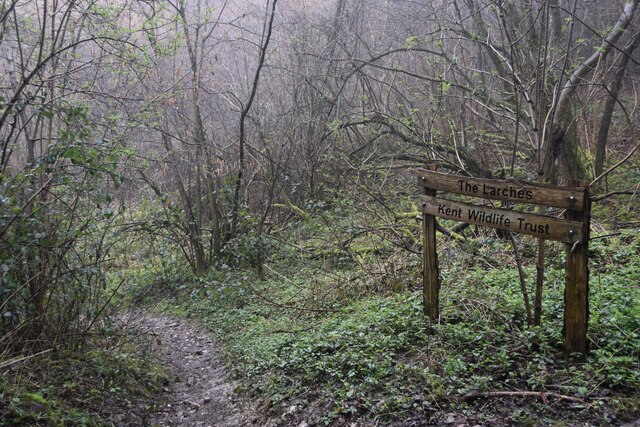
The Larches, Kent

The Larches is a 25-hectare (62-acre) nature reserve north of Detling, which is north of Maidstone in Kent. It is managed by Kent Wildlife Trust. It is...

Boxley Warren

Boxley Warren is a 83-hectare (210-acre) Local Nature Reserve north of Maidstone in Kent. It is privately owned and managed by Maidstone Borough Council...

St Martin of Tours Church, Detling

St Martin of Tours is a parish church in Detling, Kent. Dedicated to Martin of Tours, the building was constructed in the 12th century with 13th and 15th...

Invicta Park Barracks

Invicta Park Barracks is a military installation in Maidstone, Kent. It is set to close in 2029. == History == === Maidstone Barracks === Permanent barracks...

Tyland Barn

Tyland Barn, in Sandling, north of Maidstone, Kent, is the headquarters of the Kent Wildlife Trust.It has a nature park which is designed to show the variety...

Nearby Amenities

Located within 500m of 51.302282,0.543129
Boxley
Place: village
Source: npe
Lat/Long: 51.3016032/0.5431204
Bus Stop
The Kings Arms
Naptan AtcoCode: 2400A030200A
Naptan Bearing: S
Naptan CommonName: The Kings Arms
Naptan Indicator: opp
Naptan Landmark: Church
Naptan NaptanCode: kntdgwtm
Naptan PlusbusZoneRef: MSTONEB
Naptan Street: Boxley Road
Naptan Verified: no
Public Transport: platform
Ref: kntdgwtm
Source: naptan_import
Source Date: 2018-04-11T14:09:00
Lat/Long: 51.3021985/0.5431185
Post Box
Collection Times: Mo-Fr 16:15; Sa 08:00
Operator: Royal Mail
Post Box Type: wall
Ref: ME14 98
Royal Cypher: GR
Royal Cypher Wikidata: Q33102273
Lat/Long: 51.3022377/0.5429323
Bus Stop
The Kings Arms
Fixme: Can someone confirm whether or not busses stop here?
Flag: no
Naptan AtcoCode: 2400102834
Naptan Bearing: N
Naptan BusStopType: CUS
Naptan CommonName: The Kings Arms
Naptan Indicator: adj
Naptan Landmark: The Kings Arms
Naptan NaptanCode: kntgtwgt
Naptan Street: The Street
Naptan Verified: no
Public Transport: platform
Ref: kntgtwgt
Source: NAPTAN
Source Date: 2018-04-11T14:10:00
Lat/Long: 51.3022212/0.5429046
Generator Method: photovoltaic
Generator Output Electricity: yes
Generator Source: solar
Generator Type: solar_photovoltaic_panel
Power: generator
Lat/Long: 51.3055277/0.5445293
Generator Method: photovoltaic
Generator Output Electricity: yes
Generator Source: solar
Generator Type: solar_photovoltaic_panel
Power: generator
Lat/Long: 51.3049345/0.5448264
Telephone
Booth: K6
Covered: booth
Listed Status: Grade II
Man Made: telephone_box
Lat/Long: 51.3024127/0.542966
Barrier: stile
Material: wood
Maxwidth Physical: 1.1
Step Count: 1
Stile: stepover
Lat/Long: 51.3002316/0.5480439
Barrier: stile
Stile: stepover
Lat/Long: 51.3033147/0.5493176
Barrier: stile
Stile: stepover
Lat/Long: 51.3027118/0.5465528
The data included in this document is from www.openstreetmap.org. The data is made available under ODbL.

Have you been to Boxley?

Leave your review of Boxley below (or comments, questions and feedback).