Boxmoor
Settlement in Hertfordshire Dacorum
England
Boxmoor
Boxmoor is a charming village located in the county of Hertfordshire, England. Situated approximately 25 miles northwest of London, it falls within the borough of Dacorum. The village is nestled on the eastern bank of the River Bulbourne and is known for its picturesque surroundings and rich history.
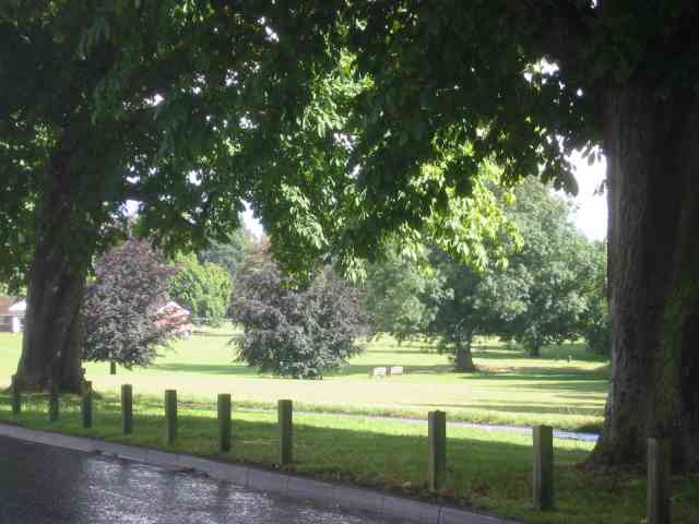
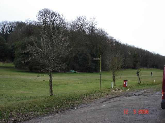
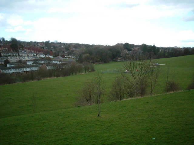
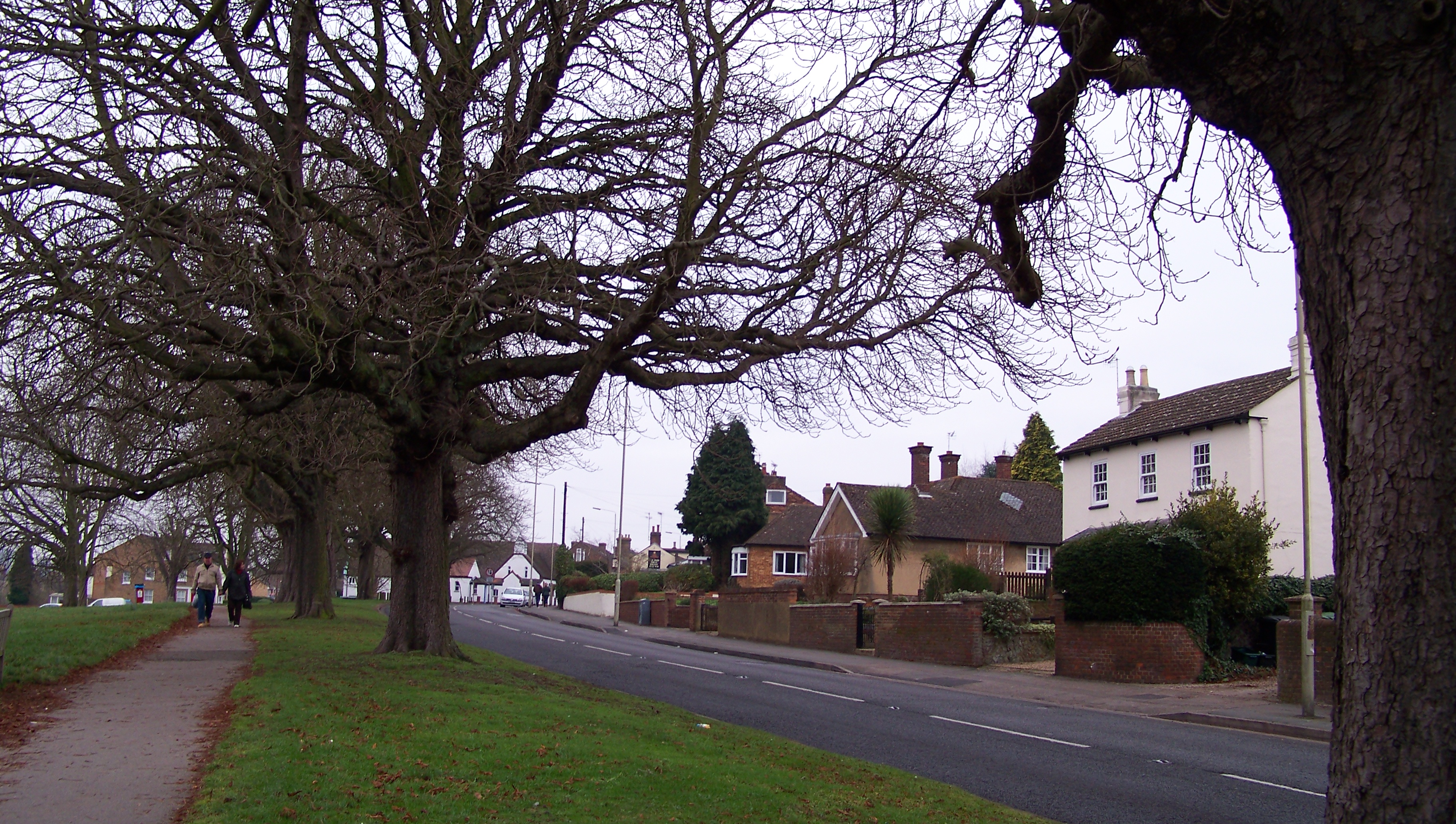
One of Boxmoor's notable features is its extensive green spaces and scenic landscapes. The village is surrounded by the Boxmoor Trust Land, a large area of open fields, woodlands, and meadows that provide a haven for wildlife and offer idyllic walking trails for residents and visitors alike.
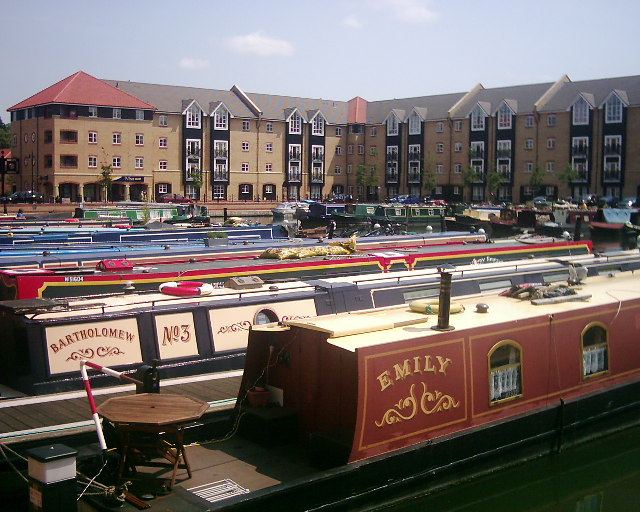
Historically, Boxmoor played a significant role as a stopping point for travelers between London and the Midlands due to its proximity to the Grand Junction Canal. The canal, now known as the Grand Union Canal, still runs through the village and adds to its charm and character.
Boxmoor also boasts a thriving community, with various amenities and facilities. The village is home to several local shops, cafes, and pubs, offering a range of services and opportunities for socializing. Additionally, there are several schools in the area, making Boxmoor an attractive location for families.
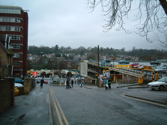
Transport links in Boxmoor are excellent, with a nearby train station providing regular services to London Euston in under 30 minutes. The village is also well-connected by road, with easy access to major routes such as the M1 and A41.
Overall, Boxmoor offers a delightful blend of natural beauty, historical significance, and modern conveniences, making it a sought-after place to live or visit in Hertfordshire.
If you have any feedback on the listing, please let us know in the comments section below.
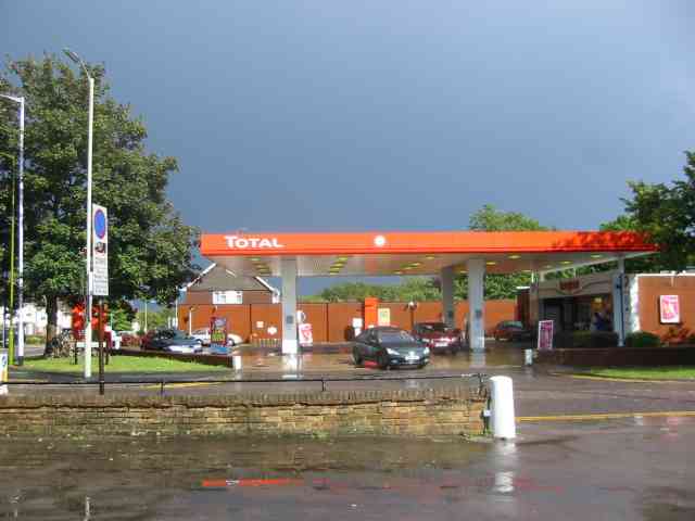
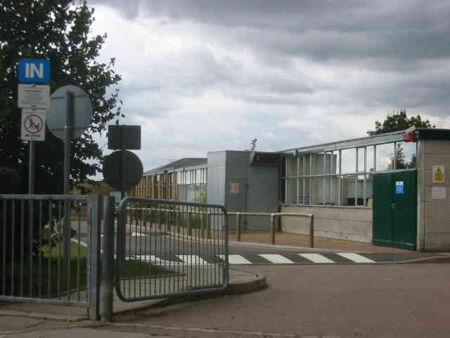
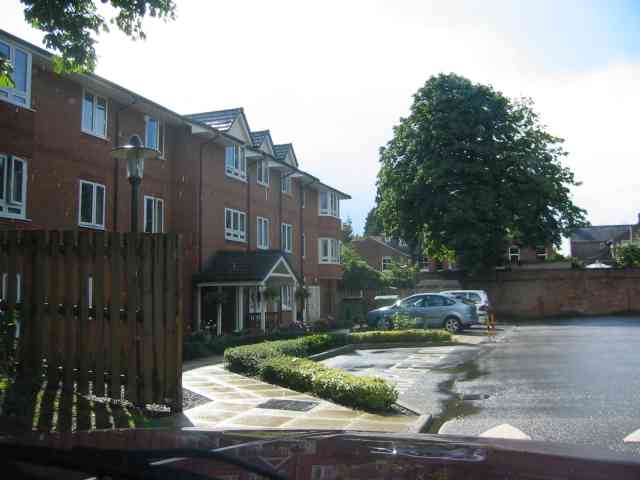
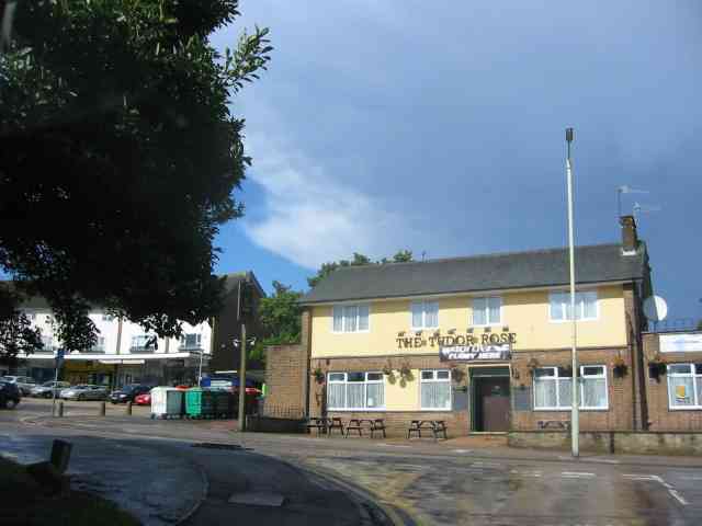
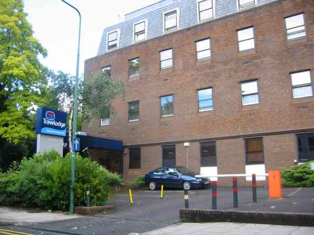
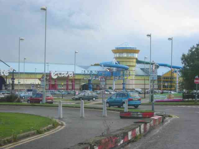
Boxmoor Images
Images are sourced within 2km of 51.745121/-0.484147 or Grid Reference TL0406. Thanks to Geograph Open Source API. All images are credited.
Boxmoor is located at Grid Ref: TL0406 (Lat: 51.745121, Lng: -0.484147)
Administrative County: Hertfordshire
District: Dacorum
Police Authority: Hertfordshire
What 3 Words
///custom.leaned.young. Near Hemel Hempstead, Hertfordshire
Related Wikis
Boxmoor
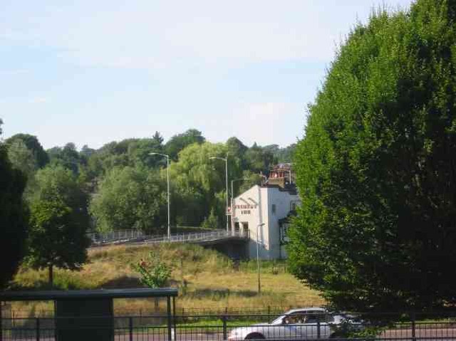
Boxmoor is part of Hemel Hempstead in Hertfordshire. It is within the district of Dacorum and comprises mainly 19th-century housing and meadowland, with...

St John's Church, Boxmoor
The Church of St John the Evangelist is a Grade II listed church in Boxmoor, Hertfordshire, England. The church was consecrated in 1874 on land purchased...
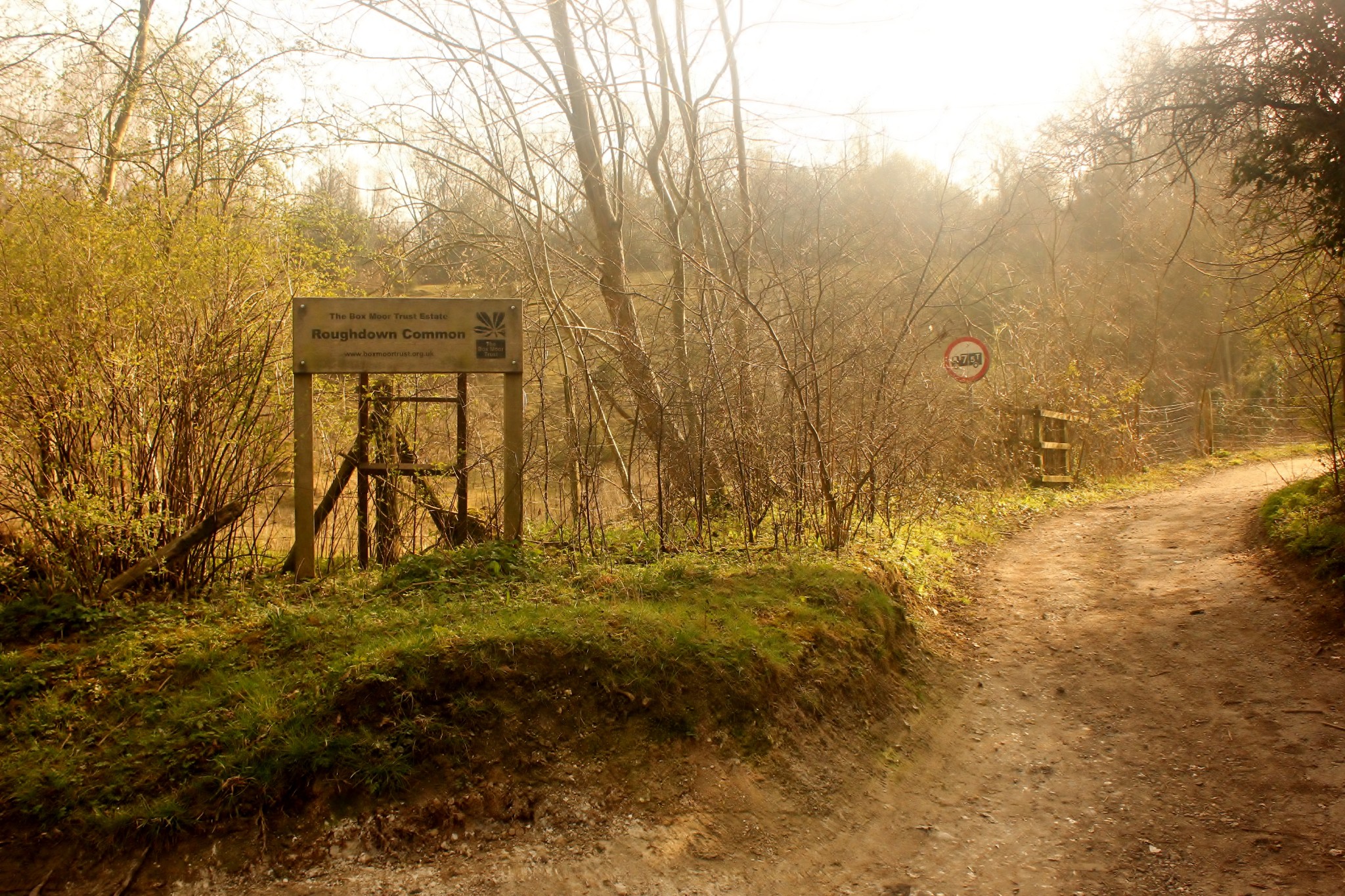
Roughdown Common
Roughdown Common is a 3.6-hectare (8.9-acre) biological Site of Special Scientific Interest in Hemel Hempstead in Hertfordshire. The planning authority...
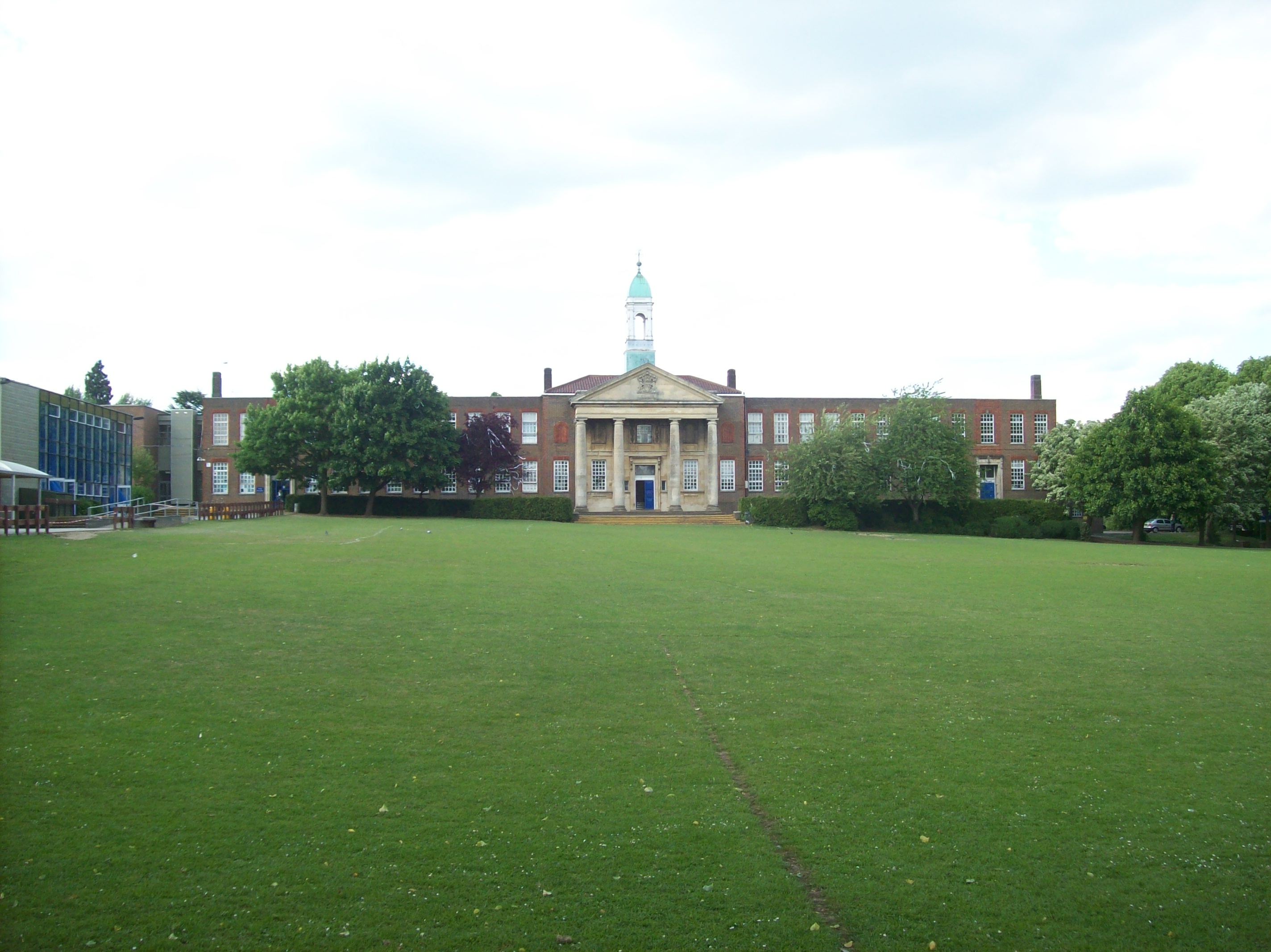
The Hemel Hempstead School
The Hemel Hempstead School is a coeducational secondary school and sixth form located in the town of Hemel Hempstead, Hertfordshire, England. == History... ==
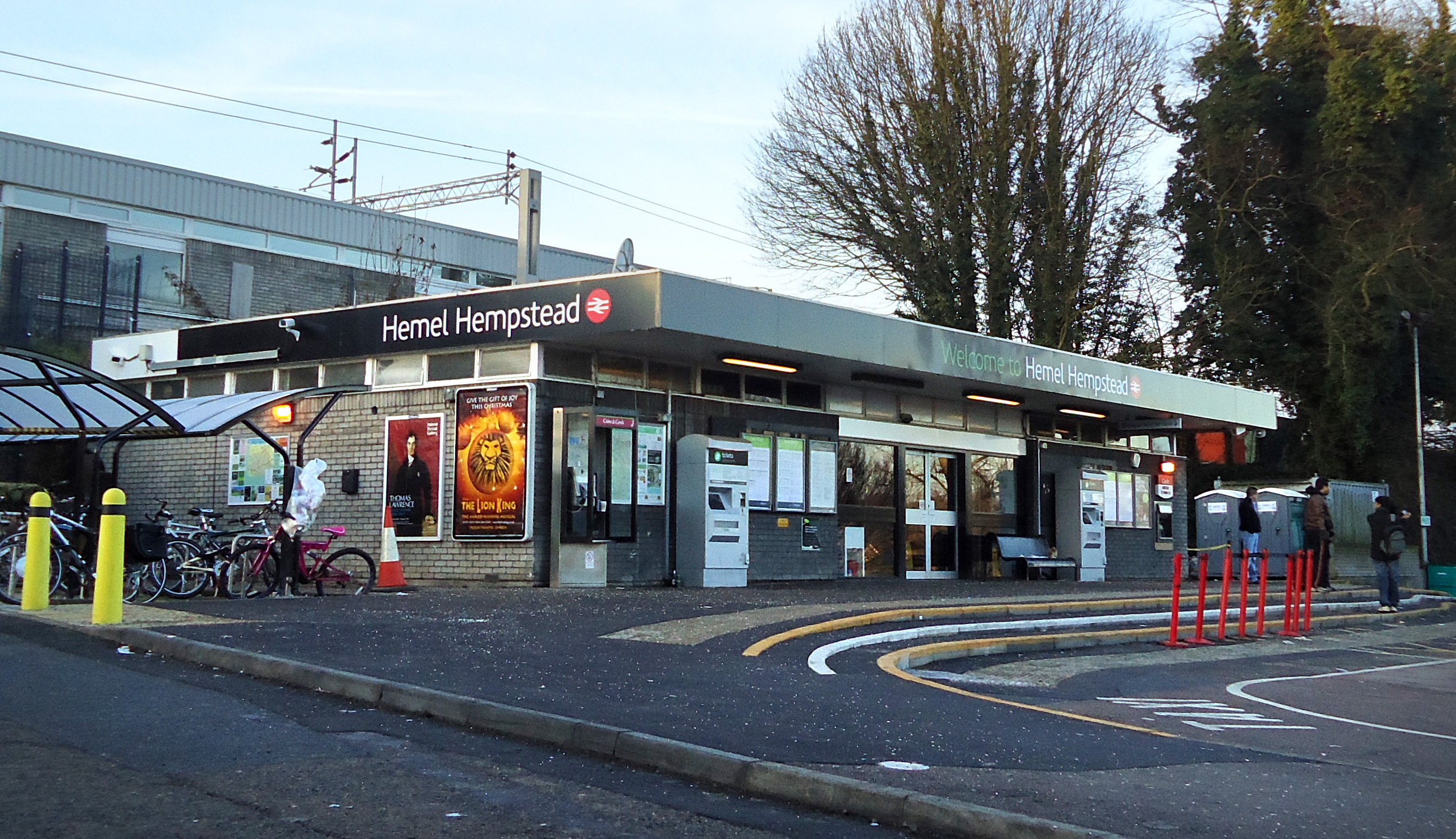
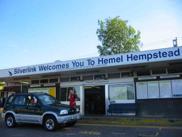
Hemel Hempstead railway station
Hemel Hempstead railway station is on the West Coast Main Line, on the western edge of the town of Hemel Hempstead, Hertfordshire, England. The station...
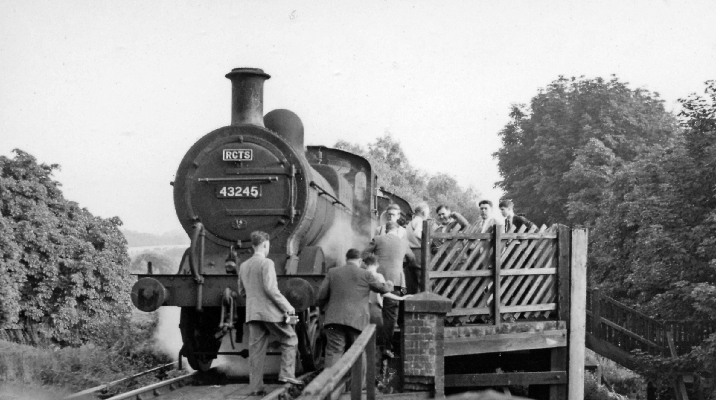
Heath Park Halt railway station
Heath Park Halt was a railway station in Hemel Hempstead, Hertfordshire in England, UK. It was the terminus for passenger services on the Nickey line,...

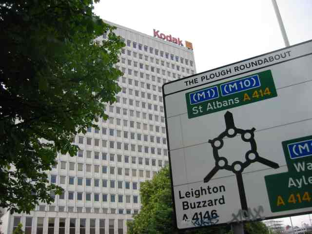
Magic Roundabout (Hemel Hempstead)
"The Magic Roundabout" in Hemel Hempstead, Hertfordshire, England, is the familiar name given to the Plough Roundabout. The familiar name comes from the...

The Beacon, Hemel Hempstead
The Beacon is a 17-storey block of 272 flats planned to be built in Hemel Hempstead, Hertfordshire, England. The developer Lumiere Developments claims...
Nearby Amenities
Located within 500m of 51.745121,-0.484147Have you been to Boxmoor?
Leave your review of Boxmoor below (or comments, questions and feedback).