Boxford

Settlement in Suffolk Babergh

England

Boxford

Stone Street, Suffolk Stone Street is a small hamlet lying south of the village of Boxford. Along the street are some interesting houses, including this fine timber-framed house on the right of the picture.
Stone Street, Suffolk Credit: Robert Edwards

Boxford is a charming and picturesque village located in Suffolk, England. Situated in the Babergh district, it is nestled amidst the stunning countryside of East Anglia. Boxford has a population of approximately 1,200 residents and covers an area of around 4.6 square miles.

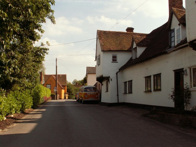
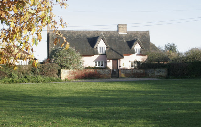
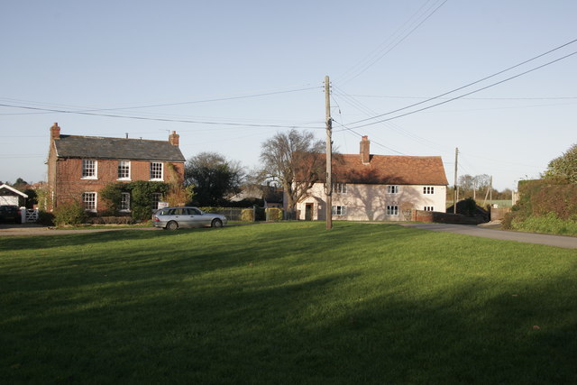
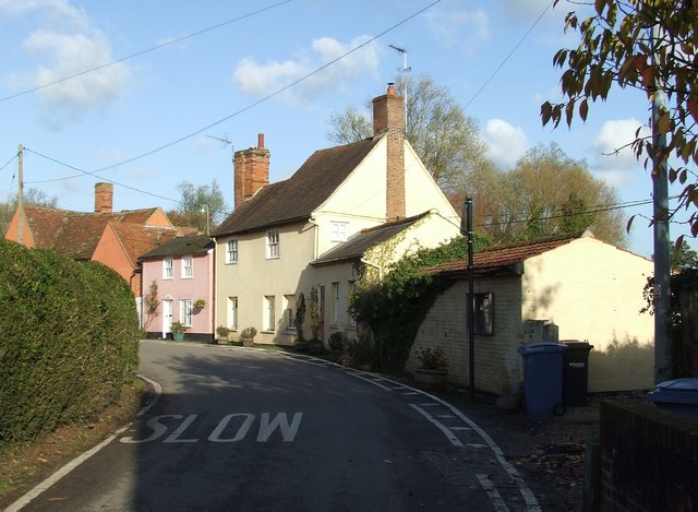
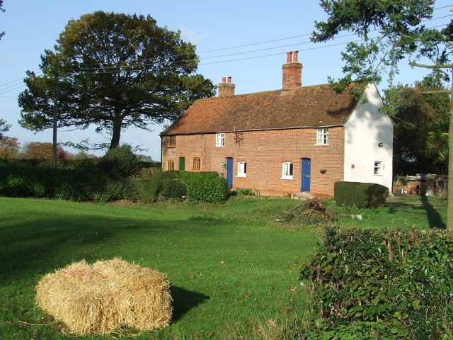
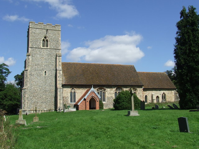
The village is renowned for its rich history, dating back to medieval times. One of its prominent landmarks is the 12th-century St. Mary's Church, an architectural gem that attracts visitors with its impressive Norman tower and beautiful stained glass windows. Boxford is also home to several timber-framed houses, showcasing the traditional architecture of the region.

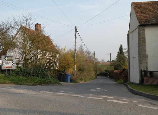
The village boasts a vibrant community spirit, with several local amenities and organizations contributing to its charm. These include a primary school, a village hall, a post office, and a local pub. Additionally, Boxford hosts various events and festivals throughout the year, such as the Boxford Masques, a traditional theatrical performance celebrating local history and folklore.

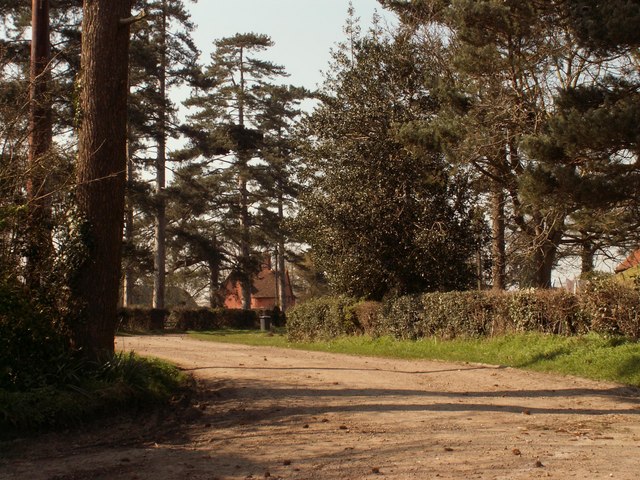
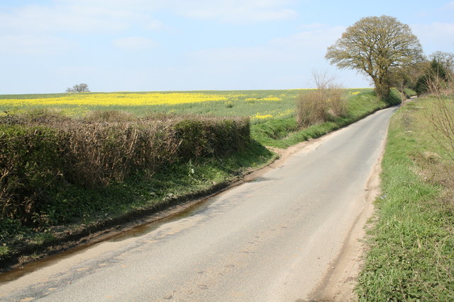
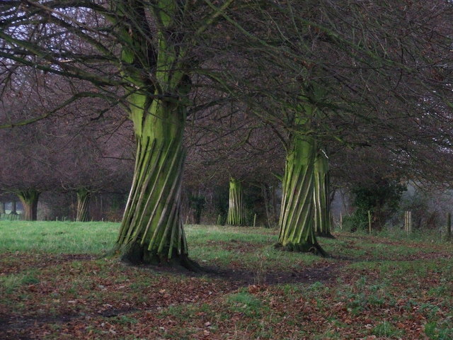
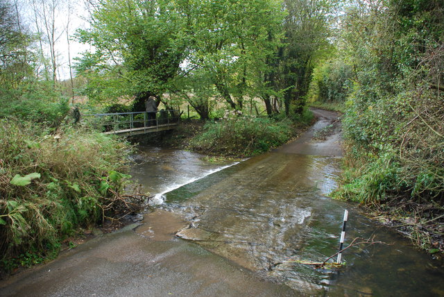
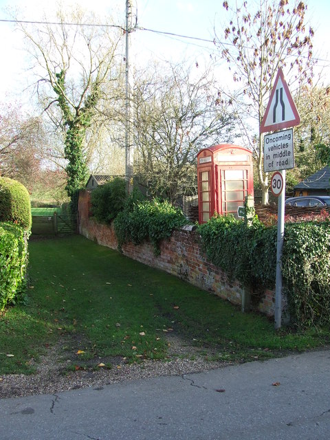
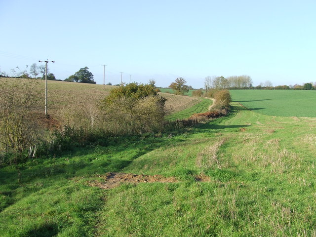
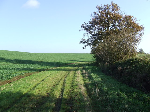
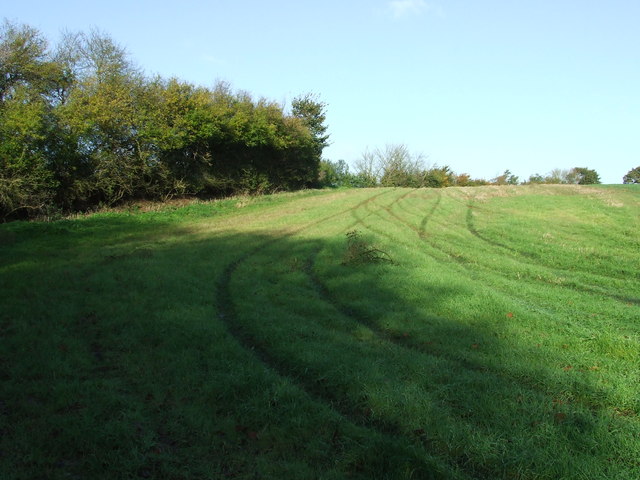
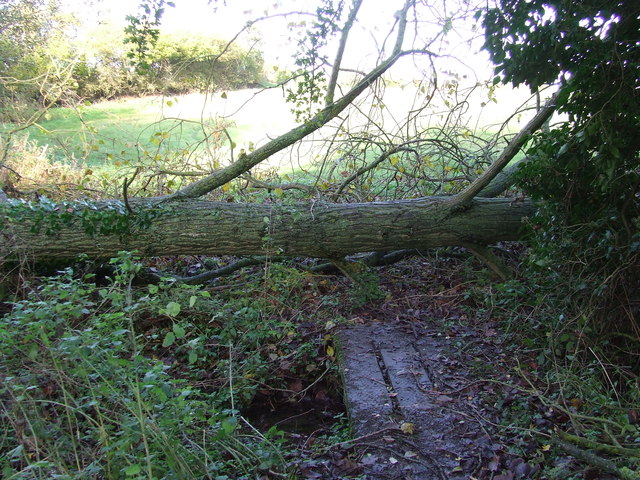
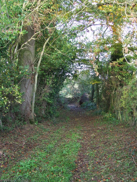
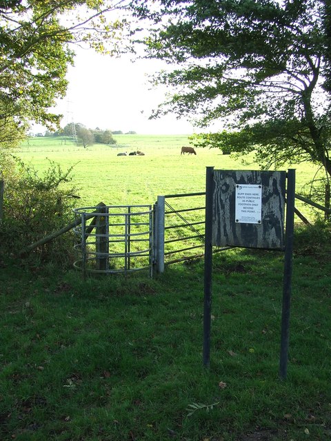
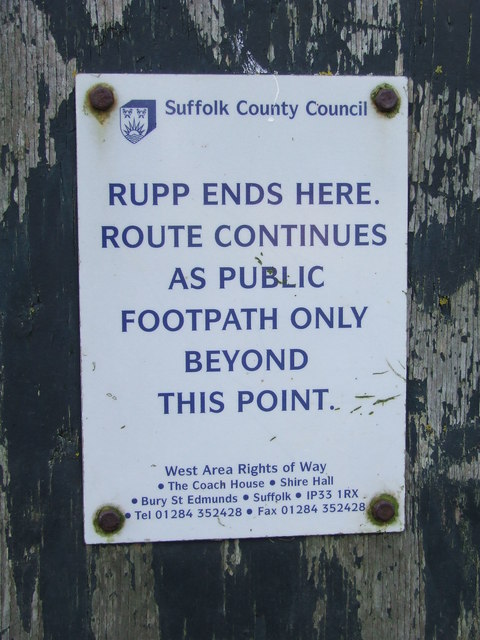
Surrounded by idyllic countryside, Boxford offers ample opportunities for outdoor activities. The village is crisscrossed by footpaths and bridleways, inviting residents and visitors to explore the scenic landscapes on walks or horseback rides. The nearby River Box provides a peaceful setting for fishing and boating enthusiasts.

Overall, Boxford, Suffolk is a quaint and historic village that combines natural beauty, community spirit, and a rich heritage. It offers a peaceful and idyllic lifestyle, making it an attractive place to live or visit for those seeking a taste of rural England.

If you have any feedback on the listing, please let us know in the comments section below.

Boxford Images

Images are sourced within 2km of 52.028525/0.85922 or Grid Reference TL9640. Thanks to Geograph Open Source API. All images are credited.

Stone Street, Suffolk Stone Street is a small hamlet lying south of the village of Boxford. Along the street are some interesting houses, including this fine timber-framed house on the right of the picture.
Stone Street, Suffolk
Stone Street is a small hamlet lying south of the village of Boxford. Along the street are some interesting houses, including this fine timber-framed house on the right of the picture.
Bramble Cottage This cottage is on the green in Whitestreet Green. I'm afraid that there are no markers which will confirm that this is where I say it is!! As with many villages in the area there are no signs which tell you where you are!
Bramble Cottage
This cottage is on the green in Whitestreet Green. I'm afraid that there are no markers which will confirm that this is where I say it is!! As with many villages in the area there are no signs which tell you where you are!
Whitestreet Green Another shot of the green. Looking north this time. Bramble Cottage is just out of view on the right.
Whitestreet Green
Another shot of the green. Looking north this time. Bramble Cottage is just out of view on the right.
Road to Firs Farm The farmhouse can just be seen through the trees.
Road to Firs Farm
The farmhouse can just be seen through the trees.
Between Leavenheath and Boxford A quiet single track lane between Leavenheath and Boxford in Suffolk
Between Leavenheath and Boxford
A quiet single track lane between Leavenheath and Boxford in Suffolk
Twisted trees Twisted laths of wood around a line of trees along the drive to Peyton Hall near Stone Street Suffolk.
Twisted trees
Twisted laths of wood around a line of trees along the drive to Peyton Hall near Stone Street Suffolk.
The road to Whitestreet Green This is the view from Hadleigh Road in a hamlet called Calais Street.
The road to Whitestreet Green
This is the view from Hadleigh Road in a hamlet called Calais Street.
Ford and Footbridge at Stone Street This pretty ford on Wash Lane is found at Stone Street.
Ford and Footbridge at Stone Street
This pretty ford on Wash Lane is found at Stone Street.
Stone Street Stone Street, Suffolk.
Stone Street
Stone Street, Suffolk.
Telephone Box And Footpath Telephone box and footpath at Stone Street, Suffolk.
Telephone Box And Footpath
Telephone box and footpath at Stone Street, Suffolk.
Footpath Footpath looking west near to Boxford, Suffolk.
Footpath
Footpath looking west near to Boxford, Suffolk.
Cottages Cottages near to Boxford, Suffolk.
Cottages
Cottages near to Boxford, Suffolk.
Green Path Footpath looking east near to Boxford, Suffolk.
Green Path
Footpath looking east near to Boxford, Suffolk.
Tracks In The Grass Track marks in the grass near to Boxford, Suffolk.
Tracks In The Grass
Track marks in the grass near to Boxford, Suffolk.
Blocked Footpath Blocked footpath and bridge near to Boxford, Suffolk.
Blocked Footpath
Blocked footpath and bridge near to Boxford, Suffolk.
Tree Lined Track Tree lined track near to Boxford, Suffolk.
Tree Lined Track
Tree lined track near to Boxford, Suffolk.
Kissing Gate Kissing gate near to Boxford, Suffolk. For close up view of the sign see <a title="https://www.geograph.org.uk/photo/3748312" href="https://www.geograph.org.uk/photo/3748312">Link</a>
Kissing Gate
Kissing gate near to Boxford, Suffolk. For close up view of the sign see Link
The RUPP Ends Here Sign seen near to Boxford, Suffolk for overall view see <a title="https://www.geograph.org.uk/photo/3748308" href="https://www.geograph.org.uk/photo/3748308">Link</a>
The RUPP Ends Here
Sign seen near to Boxford, Suffolk for overall view see Link
Show me another place!

Boxford is located at Grid Ref: TL9640 (Lat: 52.028525, Lng: 0.85922)

Administrative County: Suffolk

District: Babergh

Police Authority: Suffolk

What 3 Words

///material.lengthen.stops. Near Great Waldingfield, Suffolk

Nearby Locations

Boxford

Related Wikis

Boxford, Suffolk

Boxford is a village and civil parish in the Babergh district of Suffolk, England. Located around six miles east of Sudbury straddling the River Box and...

Groton, Suffolk

Groton is a village and civil parish in the Babergh district, Suffolk, England, located around a mile north of the A1071 between Hadleigh and Sudbury....

Hagmore Green

Hagmore Green is a hamlet in the civil parish of Boxford, in the Babergh district, in the county of Suffolk, England. The nearest village is Boxford, the...

Edwardstone

Edwardstone is a village and civil parish in the Babergh district, in the county of Suffolk, England. The parish contains the hamlets of Mill Green, Priory...

Nearby Amenities

Located within 500m of 52.028525,0.85922
Boxford
Created By: Potlatch 0.5
Place: village
Source: npe
Wikidata: Q895646
Lat/Long: 52.029187/0.8598002
Bus Stop
Fleece
Naptan AtcoCode: 390010325
Naptan Bearing: SW
Naptan CommonName: Fleece
Naptan Indicator: opp
Naptan Landmark: Fleece
Naptan NaptanCode: sufadwmg
Naptan Street: Broad Street
Naptan Verified: no
Public Transport: platform
Source: naptan_import
Lat/Long: 52.0286442/0.8601344
Bus Stop
Fleece
Naptan AtcoCode: 390010326
Naptan Bearing: NE
Naptan BusStopType: CUS
Naptan CommonName: Fleece
Naptan Indicator: o/s
Naptan Landmark: Fleece
Naptan NaptanCode: sufadwmj
Naptan Street: Broad Street
Naptan Verified: no
Public Transport: platform
Source: naptan_import
Lat/Long: 52.0287233/0.8600916
Bus Stop
Cox Hill
Naptan AtcoCode: 390010327
Naptan Bearing: NW
Naptan CommonName: Cox Hill
Naptan Indicator: opp
Naptan Landmark: Cox Hill
Naptan NaptanCode: sufadwmp
Naptan Street: Ellis Street
Naptan Verified: no
Public Transport: platform
Source: naptan_import
Lat/Long: 52.0280506/0.864048
Bus Stop
Cox Hill
Naptan AtcoCode: 390010328
Naptan Bearing: SE
Naptan BusStopType: CUS
Naptan CommonName: Cox Hill
Naptan Indicator: adj
Naptan Landmark: Cox Hill
Naptan NaptanCode: sufadwmt
Naptan Street: Ellis Street
Naptan Verified: no
Public Transport: platform
Source: naptan_import
Lat/Long: 52.0281482/0.8640505
Bus Stop
Homefield
Naptan AtcoCode: 390010329
Naptan Bearing: S
Naptan BusStopType: CUS
Naptan CommonName: Homefield
Naptan Indicator: adj
Naptan Landmark: Homefield
Naptan NaptanCode: sufadwmw
Naptan Street: Swan Street
Naptan Verified: no
Shelter: no
Source: naptan_import
Lat/Long: 52.0316135/0.8555228
Bus Stop
Homefield
Naptan AtcoCode: 390010330
Naptan Bearing: N
Naptan BusStopType: CUS
Naptan CommonName: Homefield
Naptan Indicator: opp
Naptan Landmark: Homefield
Naptan NaptanCode: sufadwpa
Naptan Street: Swan Street
Naptan Verified: no
Shelter: no
Source: naptan_import
Lat/Long: 52.031649/0.8553815
Bus Stop
Darking Avenue
Naptan AtcoCode: 390010784
Naptan Bearing: S
Naptan BusStopType: CUS
Naptan CommonName: Darking Avenue
Naptan Indicator: adj
Naptan Landmark: Darking Avenue
Naptan NaptanCode: sufjmwga
Naptan Street: Swann Street
Naptan Verified: no
Source: naptan_import
Lat/Long: 52.0308847/0.8541878
Bus Stop
Hockley Hole Lane
Naptan AtcoCode: 390010885
Naptan Bearing: W
Naptan CommonName: Hockley Hole Lane
Naptan Indicator: adj
Naptan Landmark: Hockley Hole Lane
Naptan NaptanCode: sufjtdwt
Naptan Street: Boxford Lane
Naptan Verified: no
Public Transport: platform
Source: naptan_import
Lat/Long: 52.0254695/0.8548577
Bus Stop
Hockley Hole Lane
Naptan AtcoCode: 390010886
Naptan Bearing: E
Naptan BusStopType: CUS
Naptan CommonName: Hockley Hole Lane
Naptan Indicator: opp
Naptan Landmark: Hockley Hole Lane
Naptan NaptanCode: sufjtgag
Naptan Street: Boxford Lane
Naptan Verified: no
Public Transport: platform
Source: naptan_import
Lat/Long: 52.0255792/0.854845
Post Office
Boxford Post Office
Addr City: Sudbury
Addr Postcode: CO10 5PA
Addr Street: Swan Street
Addr Village: Boxford
Brand: Post Office
Brand Wikidata: Q1783168
Contact Website: https://www.postoffice.co.uk/branch-finder/0591165/boxford
Opening Hours: Mo,Tu,Th,Fr 08:30-17:30; We 08:30-17:00; Sa 08:30-12:30
Ref Pol Id: 265
Source: OS OpenData StreetView
Source Addr: pol_branch_list_2018-02
Source Opening Hours: pol_branch_list_2018-02
Lat/Long: 52.0285645/0.8590959
Turning Circle
Lat/Long: 52.0297542/0.8647658
Power: pole
Lat/Long: 52.0305711/0.8610012
Power: pole
Lat/Long: 52.0307109/0.8618724
Power: pole
Lat/Long: 52.0308264/0.8625
Power: pole
Lat/Long: 52.0276373/0.8614213
Power: pole
Lat/Long: 52.0267759/0.8623038
Boxford War Memorial
Heritage: 2
Heritage Operator: he
Historic: memorial
Memorial: war_memorial
Wikidata: Q26670111
Lat/Long: 52.028251/0.8593516
Telephone
Booth: K6
Covered: booth
Heritage: 2
Heritage Operator: he
Historic: yes
Listed Status: Grade II
Man Made: telephone_box
Phone: +44 1787 210221
Wikidata: Q26288701
Lat/Long: 52.028652/0.8601871
A Leeder
Addr City: Sudbury
Addr Housenumber: 33
Addr Postcode: CO10 5NZ
Addr Street: Swan Street
Addr Village: Boxford
Fhrs Id: 1394874
Level: 1
Opening Hours: Mo,Th,Sa 07:00-13:00; Tu-We,Fr 07:00-17:00; PH closed
Shop: butcher
Source Addr: FHRS Open Data
Lat/Long: 52.0294375/0.8575699
Power: pole
Lat/Long: 52.0304928/0.8636177
Power: pole
Lat/Long: 52.0306529/0.8633722
Turning Circle
Lat/Long: 52.0294111/0.8557293
Man Made: beacon
Lat/Long: 52.0288244/0.8605031
Defibrillator
Defibrillator Location: on left wall of building passage (from street)
Emergency: defibrillator
Ref GB The Circuit: 8C54E6D6-1821-4983-86D3-AD5E00C00FBB
Lat/Long: 52.0287722/0.8599643
The data included in this document is from www.openstreetmap.org. The data is made available under ODbL.

Have you been to Boxford?

Leave your review of Boxford below (or comments, questions and feedback).