Box

Settlement in Gloucestershire Stroud

England

Box

Forner coal merchant's building at Egypt Mill Now converted to provide accommodation for the Egypt Mill Hotel
Forner coal merchant's building at Egypt Mill Credit: Graham Hogg

Box is a small village located in the county of Gloucestershire, England. Situated in the southern part of the Cotswolds, it is nestled within a picturesque valley surrounded by rolling hills and lush green landscapes. The village is part of the Box and Colerne civil parish and is approximately 5 miles northeast of the larger town of Corsham.

Box has a rich history dating back to Roman times, with evidence of a Roman villa found in the area. The village grew over the centuries, with the local stone industry playing a significant role in its development. Box stone, a type of limestone, was quarried from the nearby Box Hill and was used in the construction of many notable buildings, including parts of Bath Abbey and Windsor Castle.

Today, Box retains its charm and character, with a mix of traditional stone cottages and more modern housing. The village has a close-knit community and offers a range of amenities, including a village shop, a post office, a primary school, and a pub. The surrounding countryside provides ample opportunities for outdoor activities such as walking, hiking, and cycling.

Box is well-connected, with good road links to nearby towns and cities. The M4 motorway is easily accessible, providing convenient access to Bristol and Swindon. The nearest railway station is in Chippenham, approximately 6 miles away, offering regular train services to London and other major cities.

Overall, Box is a tranquil and picturesque village, offering a peaceful retreat in the heart of the Cotswolds, while still providing convenient access to nearby urban centers.

If you have any feedback on the listing, please let us know in the comments section below.
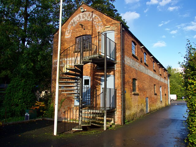
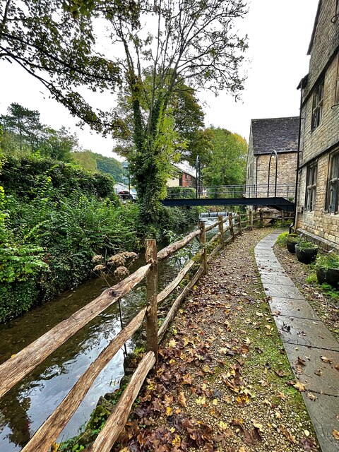
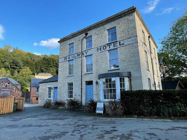
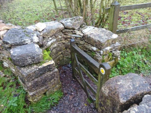
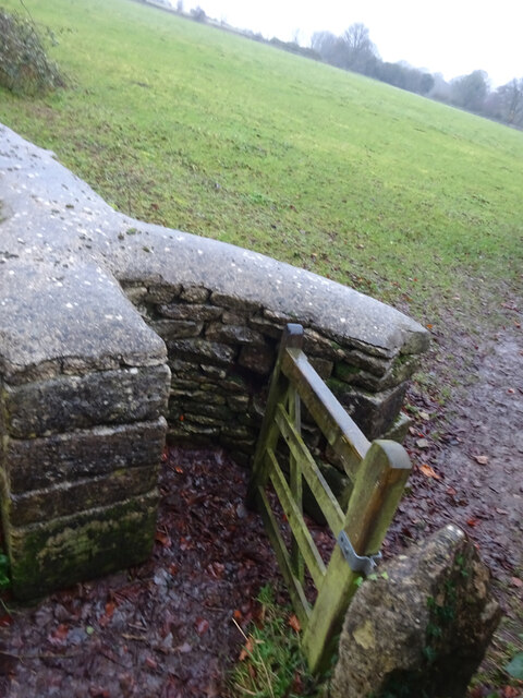
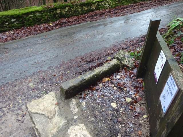
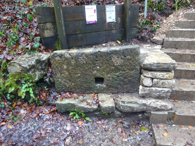
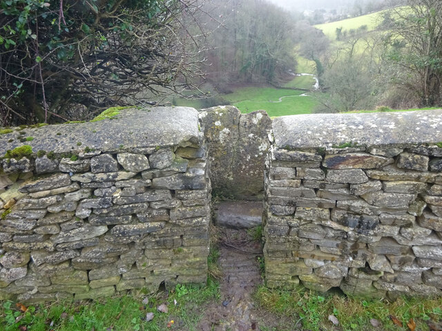
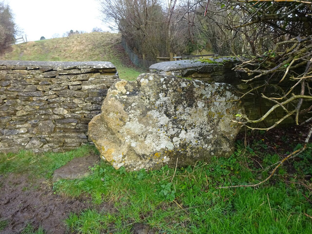
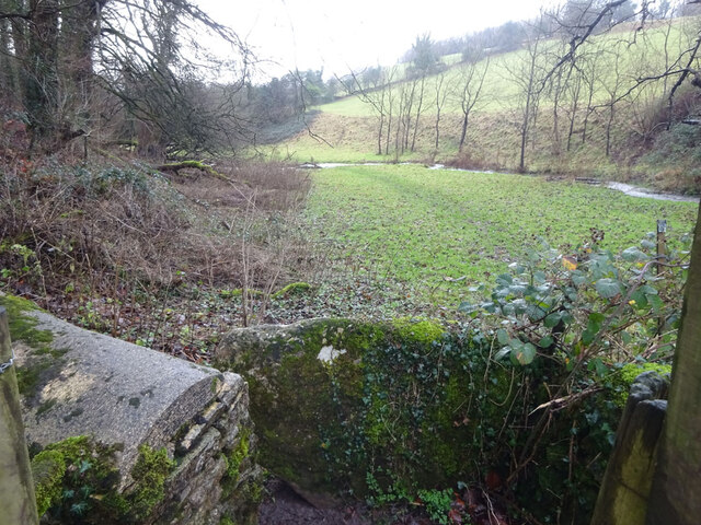
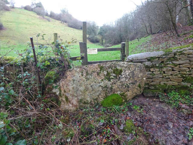
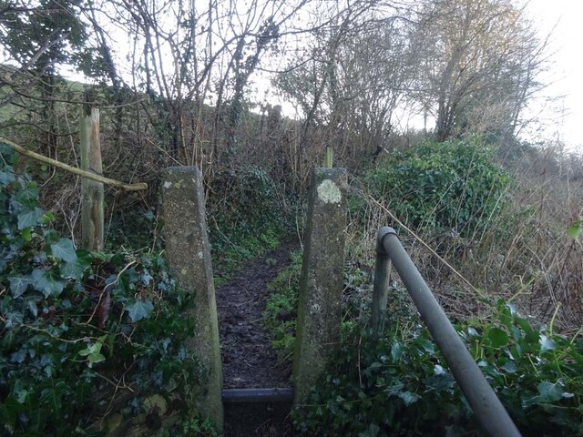
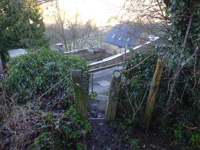
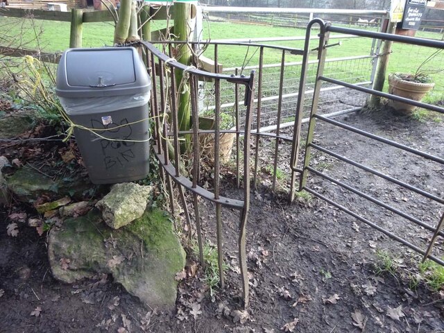
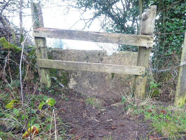
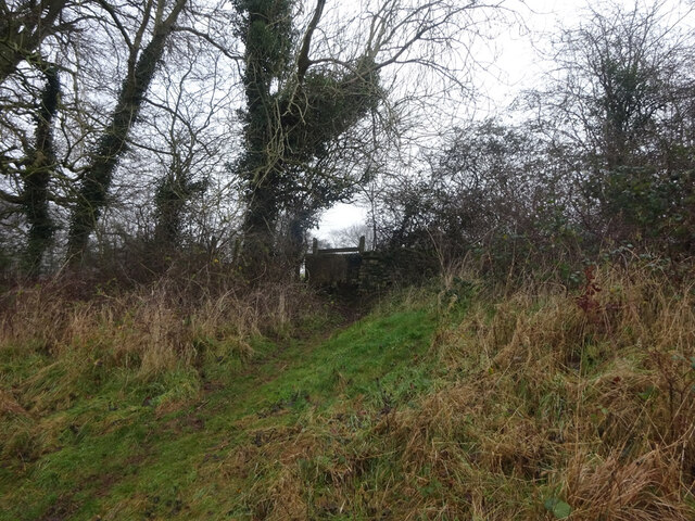
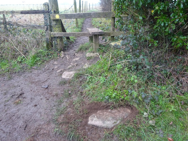
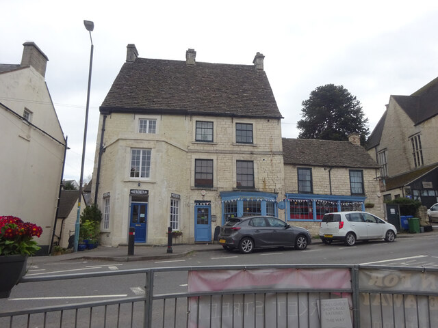
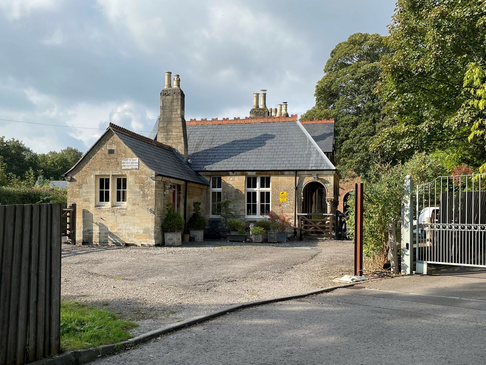
Box Images

Images are sourced within 2km of 51.700507/-2.200812 or Grid Reference SO8600. Thanks to Geograph Open Source API. All images are credited.

Forner coal merchant's building at Egypt Mill Now converted to provide accommodation for the Egypt Mill Hotel
Forner coal merchant's building at Egypt Mill
Now converted to provide accommodation for the Egypt Mill Hotel
Nailsworth Stream at Egypt Mill Hotel The hotel is a conversion of a former textile mill, one of many in the Nailsworth valley.
Nailsworth Stream at Egypt Mill Hotel
The hotel is a conversion of a former textile mill, one of many in the Nailsworth valley.
The Railway Hotel, Nailsworth The railway here closed in 1966 though passenger services were terminated in 1949 and the grade II listed hotel now provides luxury holiday apartments.
The Railway Hotel, Nailsworth
The railway here closed in 1966 though passenger services were terminated in 1949 and the grade II listed hotel now provides luxury holiday apartments.
Stone Kissing Gate Leading from Box towards equine fields.
Stone Kissing Gate
Leading from Box towards equine fields.
Stone Kissing Gate Between fields on the equine establishment.
Stone Kissing Gate
Between fields on the equine establishment.
Stone Stile, Devil's Elbow As the footpath leaves Box Wood. The view from the road is <a href="https://www.geograph.org.uk/photo/7038355">ST8699 : Stone Stile, Devil's Elbow</a>.
Stone Stile, Devil's Elbow
As the footpath leaves Box Wood. The view from the road is ST8699 : Stone Stile, Devil's Elbow.
Stone Stile, Devil's Elbow As the footpath leaves Box Wood. The view from the footpath is <a href="https://www.geograph.org.uk/photo/7038353">ST8699 : Stone Stile, Devil's Elbow</a>.
Stone Stile, Devil's Elbow
As the footpath leaves Box Wood. The view from the footpath is ST8699 : Stone Stile, Devil's Elbow.
Stone Stile, Minchinhampton Looking South to a steep escarpment beyond. The view looking up is <a href="https://www.geograph.org.uk/photo/7057420">ST8799 : Stone Stile, Minchinhampton</a>. This Gloucestershire footpath (MMH101) leads all the way to Longfords Mill.
Stone Stile, Minchinhampton
Looking South to a steep escarpment beyond. The view looking up is ST8799 : Stone Stile, Minchinhampton. This Gloucestershire footpath (MMH101) leads all the way to Longfords Mill.
Stone Stile, Minchinhampton Looking North with a steep escarpment to the rear. The view looking down is <a href="https://www.geograph.org.uk/photo/7057415">ST8799 : Stone Stile, Minchinhampton</a>. This Gloucestershire footpath (MMH101) leads all the way to Longfords Mill from Chapel Lane.
Stone Stile, Minchinhampton
Looking North with a steep escarpment to the rear. The view looking down is ST8799 : Stone Stile, Minchinhampton. This Gloucestershire footpath (MMH101) leads all the way to Longfords Mill from Chapel Lane.
Stone Stile, Minchinhampton Looking SW with Gatcombe Wood on the left on Gloucestershire footpaths MMH101 & MMH102. The view looking NE to the escarpment is <a href="https://www.geograph.org.uk/photo/7057466">ST8799 : Stone Stile, Minchinhampton</a>.
Stone Stile, Minchinhampton
Looking SW with Gatcombe Wood on the left on Gloucestershire footpaths MMH101 & MMH102. The view looking NE to the escarpment is ST8799 : Stone Stile, Minchinhampton.
Stone Stile, Minchinhampton Looking NE to the escarpment with Gatcombe Wood behind, on Gloucestershire footpaths MMH101 & MMH102. The view looking SW is <a href="https://www.geograph.org.uk/photo/7057463">ST8799 : Stone Stile, Minchinhampton</a>.
Stone Stile, Minchinhampton
Looking NE to the escarpment with Gatcombe Wood behind, on Gloucestershire footpaths MMH101 & MMH102. The view looking SW is ST8799 : Stone Stile, Minchinhampton.
Stone Stile, Nailsworth Concrete squeeze stile up steps from Walkley Lane on Gloucestershire footpath ZNA20 looking SW. The view NE toward the road is <a href="https://www.geograph.org.uk/photo/7070697">ST8499 : Stone Stile, Nailsworth</a>.
Stone Stile, Nailsworth
Concrete squeeze stile up steps from Walkley Lane on Gloucestershire footpath ZNA20 looking SW. The view NE toward the road is ST8499 : Stone Stile, Nailsworth.
Stone Stile, Nailsworth Concrete squeeze stile up steps from Walkley Lane on Gloucestershire footpath ZNA20 looking NE to the lane. The view SW is <a href="https://www.geograph.org.uk/photo/7070694">ST8499 : Stone Stile, Nailsworth</a>.
Stone Stile, Nailsworth
Concrete squeeze stile up steps from Walkley Lane on Gloucestershire footpath ZNA20 looking NE to the lane. The view SW is ST8499 : Stone Stile, Nailsworth.
Stone Stile, Nailsworth In the Newmarket area of Nailsworth, next to the Nailsworth Donkey Sanctuary. At the exit of Gloucestershire footpath ZNA16 onto Newmarket Road.
Stone Stile, Nailsworth
In the Newmarket area of Nailsworth, next to the Nailsworth Donkey Sanctuary. At the exit of Gloucestershire footpath ZNA16 onto Newmarket Road.
Stone Stile, Nailsworth East of the house called Windsorash on Gloucestershire footpath ZNA80 looking West. The view looking East is <a href="https://www.geograph.org.uk/photo/7071943">ST8598 : Stone Stile, Nailsworth</a>.
Stone Stile, Nailsworth
East of the house called Windsorash on Gloucestershire footpath ZNA80 looking West. The view looking East is ST8598 : Stone Stile, Nailsworth.
Stone Stile, Nailsworth East of the house called Windsorash on Gloucestershire footpath ZNA80 looking East. The view looking West is <a href="https://www.geograph.org.uk/photo/7071940">ST8598 : Stone Stile, Nailsworth</a>.
Stone Stile, Nailsworth
East of the house called Windsorash on Gloucestershire footpath ZNA80 looking East. The view looking West is ST8598 : Stone Stile, Nailsworth.
Stone Stile, Nailsworth A remnant of a dressed stone at the junction of Gloucestershire footpath ZNA33 and Shipton's Grove Lane. The parish boundary with Avening runs along the lane. The stone was most likely from a squeeze stile once. Now a fallen idle (sic).
Stone Stile, Nailsworth
A remnant of a dressed stone at the junction of Gloucestershire footpath ZNA33 and Shipton's Grove Lane. The parish boundary with Avening runs along the lane. The stone was most likely from a squeeze stile once. Now a fallen idle (sic).
Toll House, Nailsworth Currently occupied by Phenominal gift shop and the Village Inn. Used for the Nailsworth, Woodchester & Dudbridge Turnpike Trust

Milestone Society National ID: GL.NAI03
Toll House, Nailsworth
Currently occupied by Phenominal gift shop and the Village Inn. Used for the Nailsworth, Woodchester & Dudbridge Turnpike Trust Milestone Society National ID: GL.NAI03
Show me another place!

Box is located at Grid Ref: SO8600 (Lat: 51.700507, Lng: -2.200812)

Administrative County: Gloucestershire

District: Stroud

Police Authority: Gloucestershire

What 3 Words

///printouts.splat.shrub. Near Minchinhampton, Gloucestershire

Nearby Locations

Forwood Box Hampton Green

Related Wikis

Nearby Amenities

Located within 500m of 51.700507,-2.200812
Post Box
Collection Times: Mo-Fr 09:00; Sa 07:00; Su off
Operator: Royal Mail
Operator Wikidata: Q638098
Post Box Type: lamp
Ref: GL6 135D
Royal Cypher: EIIR
Royal Cypher Wikidata: Q33102113
Lat/Long: 51.7039038/-2.196358
Box
Is In: Gloucestershire, England, UK
Place: village
Wikidata: Q4951468
Lat/Long: 51.7005853/-2.2050628
Bus Stop
Box Crescent
Bench: no
Bin: no
Bus: yes
Lit: no
Naptan AtcoCode: 1600GL3269
Naptan Bearing: E
Naptan CommonName: Box Crescent
Naptan NaptanCode: glodjgjt
Naptan Street: Common Rd
Naptan Verified: no
Public Transport: platform
Shelter: no
Source: naptan_import
Tactile Paving: no
Lat/Long: 51.7037948/-2.1960558
Public Bookcase
Little Free Library
Booth: K6
Brand: Little Free Library
Brand Wikidata: Q6650101
Brand Wikipedia: en:Little Free Library
Covered: booth
Disused Amenity: telephone
Public Bookcase Type: phone_box
Lat/Long: 51.7004619/-2.2061917
Board Type: notice
Information: board
Tourism: information
Lat/Long: 51.7004522/-2.2062043
Post Box
Collection Times: Mo-Fr 16:45; Sa 10:00; Su off
Drive Through: no
Operator: Royal Mail
Operator Wikidata: Q638098
Post Box Type: lamp
Ref: GL6 33
Royal Cypher: EIIR
Royal Cypher Wikidata: Q33102113
Source: survey
Lat/Long: 51.7004464/-2.2062137
Bench
Lat/Long: 51.7004076/-2.206436
Bench
Lat/Long: 51.7003137/-2.2068259
Bench
Lat/Long: 51.7003039/-2.2068356
Entrance: yes
Lat/Long: 51.7009139/-2.2071651
Barrier: cattle_grid
Lat/Long: 51.7007081/-2.2076588
Barrier: cattle_grid
Lat/Long: 51.7007444/-2.2071145
Barrier: kissing_gate
Lat/Long: 51.7007496/-2.2070595
Crossing
Lat/Long: 51.7029403/-2.2061198
Bus Stop
Hampton Green
Bench: no
Bin: no
Bus: yes
Lit: no
Naptan AtcoCode: 1600GLA57063
Naptan Bearing: E
Naptan CommonName: Hampton Green
Naptan NaptanCode: glogmwmj
Naptan PlusbusZoneRef: STRUD
Naptan Street: Common Rd
Naptan Verified: no
Public Transport: platform
Shelter: no
Source: naptan_import
Tactile Paving: no
Lat/Long: 51.7034732/-2.2013981
Crossing: informal
Lat/Long: 51.7033624/-2.2046902
Charging Station
Box Village Hall
Access: permissive
Bicycle: no
Bus: no
Capacity: 2
Charge: 0.6GBP/kWh
Fee: yes
Hgv: no
Maxstay: unlimited
Motorcar: yes
Operator: Project EV
Parking Fee: no
Payment App: yes
Payment Cards: no
Payment Cash: no
Payment Membership Card: yes
Payment Qr Code: no
Scooter: no
Socket Type2: 2
Socket Type2 Current: 32 A
Socket Type2 Output: 7.4kW
Socket Type2 Voltage: 230 V
Lat/Long: 51.7008911/-2.2073789
Barrier: kissing_gate
Lat/Long: 51.700093/-2.2061319
Noexit: yes
Lat/Long: 51.6996257/-2.2037296
Barrier: kissing_gate
Lat/Long: 51.6996973/-2.2048723
Bench
Backrest: no
Material: wood
Lat/Long: 51.6965827/-2.20188
Bench
Backrest: no
Material: wood
Lat/Long: 51.696354/-2.2017598
Barrier: kissing_gate
Lat/Long: 51.6975308/-2.2047437
Ford: yes
Lat/Long: 51.6991007/-2.2040497
Ford: yes
Lat/Long: 51.6995718/-2.2042066
The data included in this document is from www.openstreetmap.org. The data is made available under ODbL.

Have you been to Box?

Leave your review of Box below (or comments, questions and feedback).