Box

Settlement in Wiltshire

England

Box

Footbridge over Lid Brook The stream flows left to right; the path ascends Tutton Hill to Colerne.
Footbridge over Lid Brook Credit: Jonathan Billinger

Box is a small village located in Wiltshire, England. Situated approximately 6 miles east of Bath and 20 miles west of Chippenham, Box lies within the Cotswolds Area of Outstanding Natural Beauty. With a population of around 5,000 people, it offers a peaceful and picturesque setting for its residents.

The village is renowned for its historic stone quarries, which have been in operation since Roman times. The famous Box Freestone, a type of limestone, has been used in the construction of several notable buildings, including Buckingham Palace and St. Paul's Cathedral. The remnants of these quarries can still be seen today, providing an interesting glimpse into the area's industrial past.

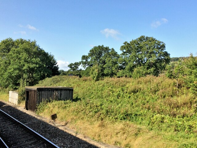
Box is also home to the Box Tunnel, an impressive engineering feat built in the 19th century as part of the Great Western Railway line. Stretching for almost 2 miles, it was the longest railway tunnel in the world at the time of its construction. Today, it remains an important transport link, connecting London to the South West of England.

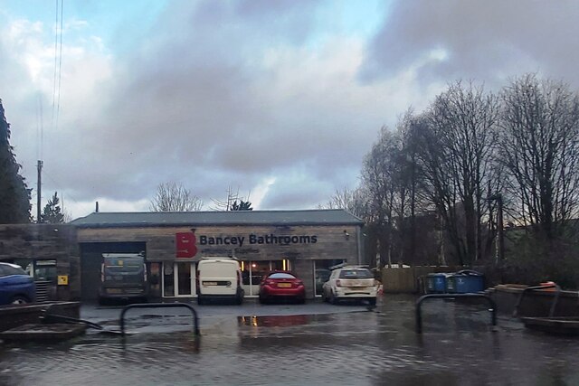
The village itself offers a range of amenities and services, including a primary school, a post office, a village hall, and a selection of shops and pubs. The surrounding countryside provides ample opportunities for outdoor activities, with numerous walking and cycling routes to explore. Additionally, Box has good transport links, with regular bus services and easy access to the M4 motorway.

Overall, Box is a charming village with a rich history and a strong sense of community. Its picturesque surroundings and convenient location make it an attractive place to live or visit.

If you have any feedback on the listing, please let us know in the comments section below.
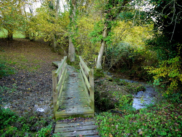
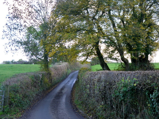
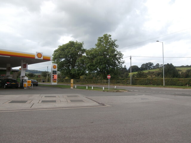
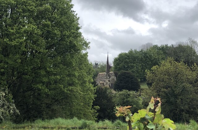
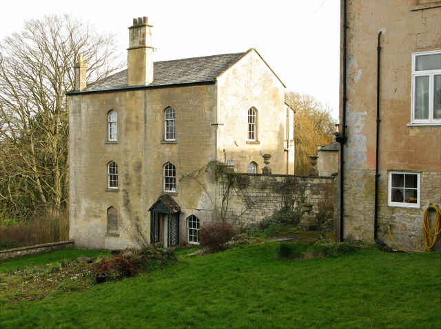
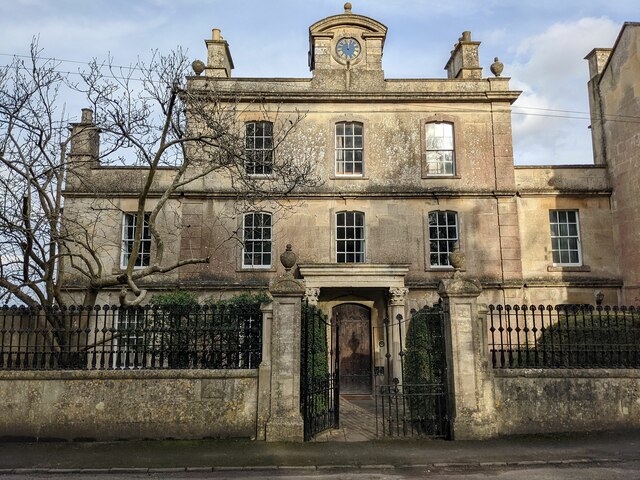
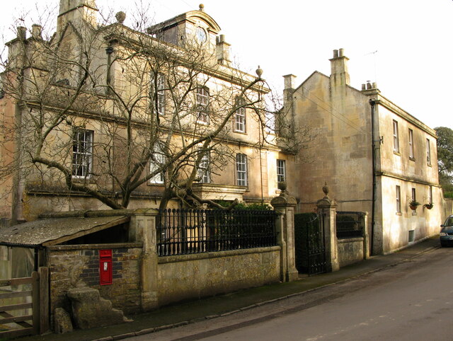
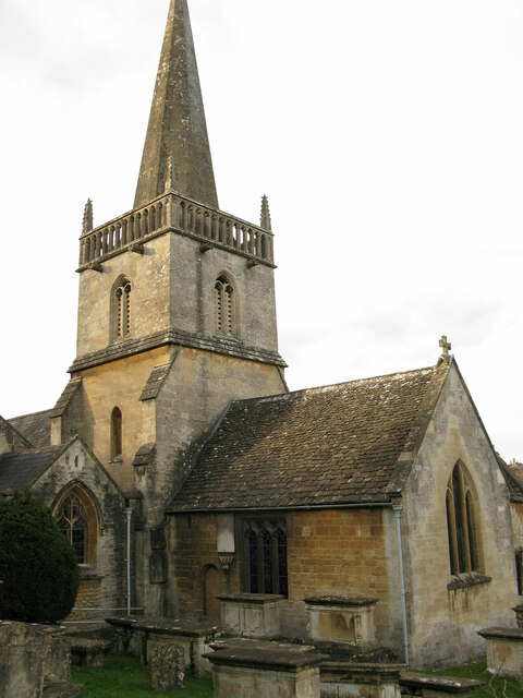
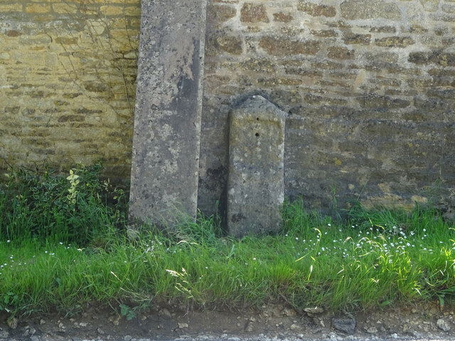
Box Images

Images are sourced within 2km of 51.415236/-2.2523545 or Grid Reference ST8268. Thanks to Geograph Open Source API. All images are credited.

Footbridge over Lid Brook The stream flows left to right; the path ascends Tutton Hill to Colerne.
Footbridge over Lid Brook
The stream flows left to right; the path ascends Tutton Hill to Colerne.
Tutton Hill The lane ascends south out of Lidbrook Bottom towards Box.
Tutton Hill
The lane ascends south out of Lidbrook Bottom towards Box.
Ashley Garage This Shell service station <span class="nowrap"><a title="https://find.shell.com/gb/fuel/12449960-ashley-garage" rel="nofollow ugc noopener" href="https://find.shell.com/gb/fuel/12449960-ashley-garage">Link</a><img style="margin-left:2px;" alt="External link" title="External link - shift click to open in new window" src="https://s1.geograph.org.uk/img/external.png" width="10" height="10"/></span> stands on the A4 a little west of Box.  As with all petrol stations in the Bath area, the price of fuel is rather high compared with the going rate in nearby Bristol and Chippenham, which is where canny Bathonians tend to fill up.
Ashley Garage
This Shell service station LinkExternal link stands on the A4 a little west of Box. As with all petrol stations in the Bath area, the price of fuel is rather high compared with the going rate in nearby Bristol and Chippenham, which is where canny Bathonians tend to fill up.
Cemetery Chapel, Box
3 Kingsdown House, Kingsdown, Box Grade II listed early 19th-century house
<span class="nowrap"><a title="https://historicengland.org.uk/listing/the-list/list-entry/1022797" rel="nofollow ugc noopener" href="https://historicengland.org.uk/listing/the-list/list-entry/1022797">Link</a><img style="margin-left:2px;" alt="External link" title="External link - shift click to open in new window" src="https://s1.geograph.org.uk/img/external.png" width="10" height="10"/></span>

From the listing: Built as part of the extensions to the private asylum at Kingsdown House, possibly as a doctor's residence.
3 Kingsdown House, Kingsdown, Box
Grade II listed early 19th-century house LinkExternal link From the listing: Built as part of the extensions to the private asylum at Kingsdown House, possibly as a doctor's residence.
1 Kingsdown House, Kingsdown, Box Grade II listed former lunatic asylum, now house, early 18th century with Victorian embellishment.
<span class="nowrap"><a title="https://historicengland.org.uk/listing/the-list/list-entry/1181591" rel="nofollow ugc noopener" href="https://historicengland.org.uk/listing/the-list/list-entry/1181591">Link</a><img style="margin-left:2px;" alt="External link" title="External link - shift click to open in new window" src="https://s1.geograph.org.uk/img/external.png" width="10" height="10"/></span>

Gate piers and railings, early 19th, also listed.
<span class="nowrap"><a title="https://historicengland.org.uk/listing/the-list/list-entry/1363625" rel="nofollow ugc noopener" href="https://historicengland.org.uk/listing/the-list/list-entry/1363625">Link</a><img style="margin-left:2px;" alt="External link" title="External link - shift click to open in new window" src="https://s1.geograph.org.uk/img/external.png" width="10" height="10"/></span>
1 Kingsdown House, Kingsdown, Box
Grade II listed former lunatic asylum, now house, early 18th century with Victorian embellishment. LinkExternal link Gate piers and railings, early 19th, also listed. LinkExternal link
1 and 2 Kingsdown House, Kingsdown, Box Grade II listed former lunatic asylum, now houses, early 18th century with Victorian embellishment.
<span class="nowrap"><a title="https://historicengland.org.uk/listing/the-list/list-entry/1181591" rel="nofollow ugc noopener" href="https://historicengland.org.uk/listing/the-list/list-entry/1181591">Link</a><img style="margin-left:2px;" alt="External link" title="External link - shift click to open in new window" src="https://s1.geograph.org.uk/img/external.png" width="10" height="10"/></span>

No.1 (left) early 18th century, No. 2 19th century.
1 and 2 Kingsdown House, Kingsdown, Box
Grade II listed former lunatic asylum, now houses, early 18th century with Victorian embellishment. LinkExternal link No.1 (left) early 18th century, No. 2 19th century.
St Thomas a Becket church, Box, from SE Parish church of Box, Wiltshire. Grade I listed.
<span class="nowrap"><a title="https://historicengland.org.uk/listing/the-list/list-entry/1180500" rel="nofollow ugc noopener" href="https://historicengland.org.uk/listing/the-list/list-entry/1180500">Link</a><img style="margin-left:2px;" alt="External link" title="External link - shift click to open in new window" src="https://s1.geograph.org.uk/img/external.png" width="10" height="10"/></span>
St Thomas a Becket church, Box, from SE
Parish church of Box, Wiltshire. Grade I listed. LinkExternal link
Old Milestone, Box Against the barn wall adjacent to a stone buttress. On a grass verge, a foot above the road level. There are two nearby milestones, a missing one to the West, by <a href="https://www.geograph.org.uk/photo/6114503">ST8367 : Old Toll House by Kingsdown Road, Blue Vein</a> would have indicated Bath 6, while to the East <a href="https://www.geograph.org.uk/photo/6061000">ST8367 : Old Milestone by the A365, Devizes Road, Box Fiveways</a> it was Bath 7. This may indicate this milestone was abandoned quite early on, or the 1899 map was in error. A fourth <a href="https://www.geograph.org.uk/photo/6114871">ST8367 : Old Milestone by the A365, Devizes Road, Box</a> to the NE would have said Bath 7.

Inscription (was): Bath 7

Milestone Society National ID: WI_LB_BABH07
Old Milestone, Box
Against the barn wall adjacent to a stone buttress. On a grass verge, a foot above the road level. There are two nearby milestones, a missing one to the West, by ST8367 : Old Toll House by Kingsdown Road, Blue Vein would have indicated Bath 6, while to the East ST8367 : Old Milestone by the A365, Devizes Road, Box Fiveways it was Bath 7. This may indicate this milestone was abandoned quite early on, or the 1899 map was in error. A fourth ST8367 : Old Milestone by the A365, Devizes Road, Box to the NE would have said Bath 7. Inscription (was): Bath 7 Milestone Society National ID: WI_LB_BABH07
Box from the air The main railway line crosses the right side of the image horizontally and then abruptly disappears into the Box Tunnel before reaching the central wood. Below is the A4.
Box from the air
The main railway line crosses the right side of the image horizontally and then abruptly disappears into the Box Tunnel before reaching the central wood. Below is the A4.
From a Swindon-Bristol train, lineside shed near Shockerwick
Bancey Bathrooms at Ashley
Drewett's Mill In the By Brook valley, north of Box.
Drewett's Mill
In the By Brook valley, north of Box.
Meander on the By Brook The By Brook is now a substantial stream, close to being promoted to a river at this point.  It has the characteristics here, flowing in a wide valley with significant meanders such as seen here.  The clump in the middle may well soon (in geological terms) be cut through leaving this as an oxbow lake.
Meander on the By Brook
The By Brook is now a substantial stream, close to being promoted to a river at this point. It has the characteristics here, flowing in a wide valley with significant meanders such as seen here. The clump in the middle may well soon (in geological terms) be cut through leaving this as an oxbow lake.
2010 : Lane from Colerne Heading down the hill to the By Brook.
Both the lane and the farm at the bottom of the hill appear to be unnamed. In a few weeks the neatly trimmed hedgerows will be showing signs of life.
2010 : Lane from Colerne
Heading down the hill to the By Brook. Both the lane and the farm at the bottom of the hill appear to be unnamed. In a few weeks the neatly trimmed hedgerows will be showing signs of life.
2010 : Looking north along the valley of the By Brook The By Brook has already passed through Castle Combe and Slaughterford, it will soon reach Box then join the River Avon near Bathford.
2010 : Looking north along the valley of the By Brook
The By Brook has already passed through Castle Combe and Slaughterford, it will soon reach Box then join the River Avon near Bathford.
2010 : Lane to Colerne Colerne parish church is near the right hand edge at the top of the hill.
Even though it is past mid February a recent fall of snow has not long gone and the forecasters tell us there is likely to be more. Not unusual further north but we south western softies are not accustomed to this kind of weather.
Note the neatly trimmed hedgerows with their flat tops.
2010 : Lane to Colerne
Colerne parish church is near the right hand edge at the top of the hill. Even though it is past mid February a recent fall of snow has not long gone and the forecasters tell us there is likely to be more. Not unusual further north but we south western softies are not accustomed to this kind of weather. Note the neatly trimmed hedgerows with their flat tops.
2010 : Lane from Colerne to Drewetts A little used byway. Links Colerne with Drewetts Mill and Saltbox Farm.
The By Brook is at the bottom of the valley with Box Hill on the other side.
The well trimmed hedgerows are a feature.
2010 : Lane from Colerne to Drewetts
A little used byway. Links Colerne with Drewetts Mill and Saltbox Farm. The By Brook is at the bottom of the valley with Box Hill on the other side. The well trimmed hedgerows are a feature.
Show me another place!

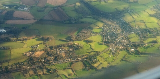
Box is located at Grid Ref: ST8268 (Lat: 51.415236, Lng: -2.2523545)

Unitary Authority: Wiltshire

Police Authority: Wiltshire

What 3 Words

///squish.ears.meaty. Near Box, Wiltshire

Related Wikis

Nearby Amenities

Located within 500m of 51.415236,-2.2523545
Traffic Signals
Lat/Long: 51.414541/-2.2553599
Crossing
Crossing: uncontrolled
Crossing Island: yes
Crossing Ref: zebra
Tactile Paving: yes
Lat/Long: 51.417006/-2.2501806
Stop Press - Newsagents and Sweet Shop
Addr Housename: Lilstock House
Addr Postcode: SN13 8NA
Addr Street: London Road
Shop: confectionery
Lat/Long: 51.4169574/-2.2504236
Barrier: kissing_gate
Lat/Long: 51.4184548/-2.2524749
Barrier: stile
Lat/Long: 51.4162061/-2.2568573
Barrier: kissing_gate
Lat/Long: 51.417691/-2.2556307
Barrier: entrance
Lat/Long: 51.4173682/-2.2516974
Entrance: yes
Lat/Long: 51.4178674/-2.2530545
Barrier: entrance
Lat/Long: 51.4178176/-2.2534158
Barrier: entrance
Lat/Long: 51.4170875/-2.2583066
Barrier: cattle_grid
Lat/Long: 51.4194095/-2.2539436
Barrier: stile
Lat/Long: 51.4127523/-2.2490649
Barrier: entrance
Lat/Long: 51.4148917/-2.2559187
Barrier: kissing_gate
Lat/Long: 51.4143393/-2.2571926
Barrier: stile
Lat/Long: 51.4138179/-2.2580929
Traffic Signals
Lat/Long: 51.4146039/-2.254894
Traffic Signals
Lat/Long: 51.4146875/-2.2549617
Crossing
Crossing Island: yes
Lat/Long: 51.4146664/-2.2593639
Barrier: stile
Lat/Long: 51.4124186/-2.2537208
Barrier: kissing_gate
Lat/Long: 51.4180401/-2.2525568
Post Office
Box Post Office
Addr Country: GB
Addr Postcode: SN13 8NA
Brand: Post Office
Brand Wikidata: Q1783168
Ref Pol Id: 11206
Website: https://www.postoffice.co.uk/branch-finder/2795485/box
Lat/Long: 51.4169961/-2.2504771
Kindergarten
Magic Dragon
Addr Street: The Recreation Ground
Lat/Long: 51.415393/-2.2533311
Library
Box Library
Wikidata: Q55173754
Lat/Long: 51.415711/-2.2550174
Recycling
Recycling Cans: yes
Recycling Cardboard: yes
Recycling Clothes: yes
Recycling Electrical Appliances: no
Recycling Glass: yes
Recycling Glass Bottles: yes
Recycling Magazines: yes
Recycling Newspaper: yes
Recycling Type: container
Lat/Long: 51.4167383/-2.2550652
Box
Note: There is really a town called Box.
Place: village
Lat/Long: 51.4148079/-2.2537023
Shelter
Lat/Long: 51.4175944/-2.2541786
Grit Bin
Lat/Long: 51.4152708/-2.249761
Bench
Backrest: yes
Check Date: 2021-02-03
Lat/Long: 51.4153404/-2.2519892
Disused Amenity: drinking_water
Lat/Long: 51.4153727/-2.2519321
Grit Bin
Lat/Long: 51.4157223/-2.2547378
Clock
Check Date: 2021-02-03
Lat/Long: 51.4158259/-2.2517457
Post Box
Collection Times: Mo-Fr 16:45, Sa 11:15
Post Box Type: wall
Ref: SN13 257
Royal Cypher: EIIR
Royal Cypher Wikidata: Q33102113
Lat/Long: 51.4169892/-2.2503787
Box Rock Circus
Addr City: Box
Addr Postcode: SN13 8NT
Addr Street: Valens Terrace
Museum: history
Tourism: museum
Website: https://www.boxrockcircus.org.uk/
Lat/Long: 51.417055/-2.2548553
Post Box
Post Box Type: lamp
Ref: SN13 102D
Royal Cypher: EIIR
Royal Cypher Wikidata: Q33102113
Lat/Long: 51.4144716/-2.2523568
Historic: memorial
Memorial: war_memorial
Lat/Long: 51.4147106/-2.2546744
Grit Bin
Lat/Long: 51.4150803/-2.2541802
Bench
Backrest: yes
Check Date: 2021-02-03
Lat/Long: 51.4168249/-2.2501763
Power: substation
Lat/Long: 51.4193578/-2.2530025
Bus Stop
Pharmacy
Bus: yes
Naptan AtcoCode: 4600WIA10475
Naptan Bearing: W
Naptan CommonName: Pharmacy
Naptan Indicator: nr
Naptan NaptanCode: wiladmtg
Naptan Street: High Street
Naptan Verified: no
Public Transport: platform
Shelter: no
Lat/Long: 51.4149465/-2.2538605
Bus Stop
Bus: yes
Naptan AtcoCode: 4600WIA10474
Naptan NaptanCode: wiladmtd
Public Transport: platform
Shelter: no
Lat/Long: 51.4150272/-2.253757
Bench
Backrest: yes
Check Date: 2021-02-10
Lat/Long: 51.4179956/-2.249408
Box (Mill Lane) Halt
Historic Railway: station
Railway: site
Wikidata: Q16845362
Wikipedia: en:Box (Mill Lane) Halt railway station
Lat/Long: 51.4181632/-2.253446
Crossing
Crossing: uncontrolled
Crossing Island: no
Crossing Ref: zebra
Source: Bing
Tactile Paving: yes
Lat/Long: 51.4159986/-2.2513125
Defibrillator
Defibrillator Location: On wall of Post Office
Emergency: defibrillator
Indoor: no
Lat/Long: 51.4169813/-2.2503737
Bench
Lat/Long: 51.4168152/-2.2522703
Leisure: picnic_table
Lat/Long: 51.4167285/-2.2521387
Give Way
Direction: backward
Lat/Long: 51.4149861/-2.2525718
Give Way
Direction: backward
Lat/Long: 51.4151523/-2.2526114
Give Way
Direction: forward
Lat/Long: 51.4144003/-2.252551
Railway: signal
Railway Signal Direction: forward
Railway Signal Main: GB-NR:main
Ref: D0 1867
Lat/Long: 51.4184016/-2.2510596
The data included in this document is from www.openstreetmap.org. The data is made available under ODbL.

Have you been to Box?

Leave your review of Box below (or comments, questions and feedback).