Box
Settlement in Carmarthenshire
Wales
Box
Box is a small village located in Carmarthenshire, Wales. Situated on the western edge of the Brecon Beacons National Park, the village is known for its picturesque surroundings and charming countryside. It is nestled in a valley, surrounded by rolling hills and lush green fields, offering stunning views of the natural landscape.
The village itself is relatively small, with a close-knit community of friendly locals. It has a quaint and peaceful atmosphere, making it an ideal destination for those seeking tranquility and a break from the hustle and bustle of city life. The village is characterized by its traditional Welsh architecture, with many old stone buildings and cottages dotting the streets.
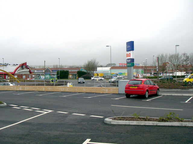
Despite its small size, Box offers a range of amenities for its residents and visitors. There is a local pub that serves as a hub for social gatherings and a place to sample traditional Welsh cuisine. The nearby market town of Llandovery provides additional shopping and dining options, as well as essential services.
Box is also a gateway to the natural wonders of the Brecon Beacons National Park. Outdoor enthusiasts can enjoy hiking, cycling, and horse riding along the numerous trails that crisscross the area. The park is home to diverse wildlife and offers opportunities for birdwatching and nature photography.
Overall, Box, Carmarthenshire, is a charming village that provides a tranquil retreat in the heart of the Welsh countryside. Its stunning surroundings and close proximity to the Brecon Beacons National Park make it an ideal destination for nature lovers and those seeking a peaceful getaway.
If you have any feedback on the listing, please let us know in the comments section below.
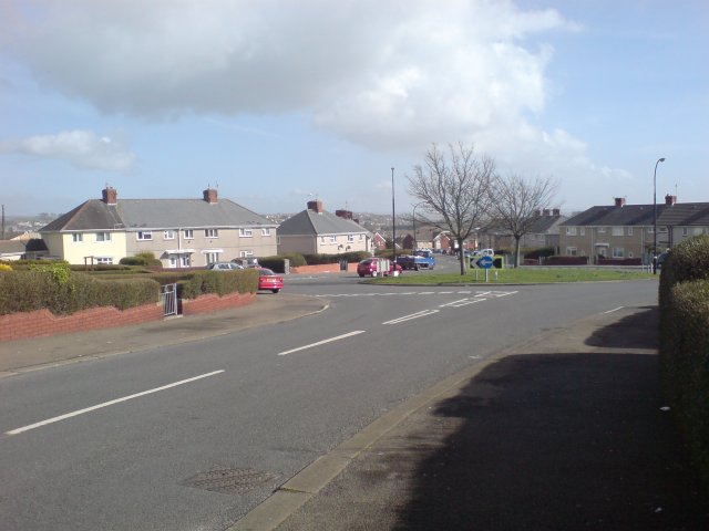
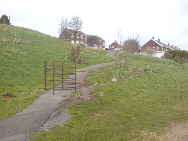
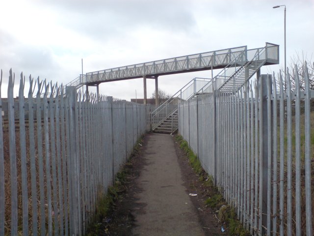
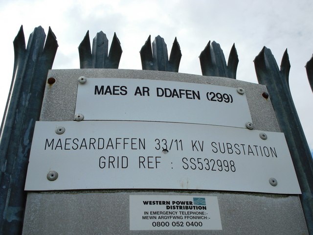
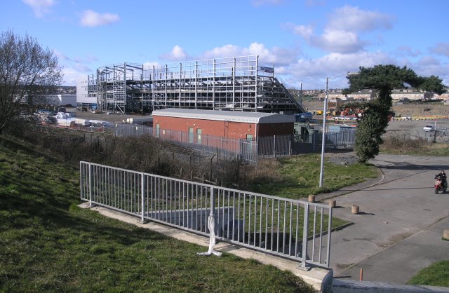
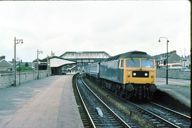
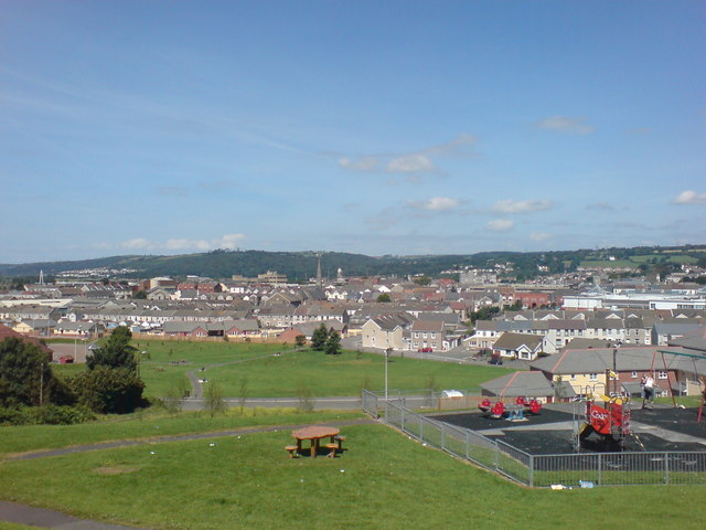
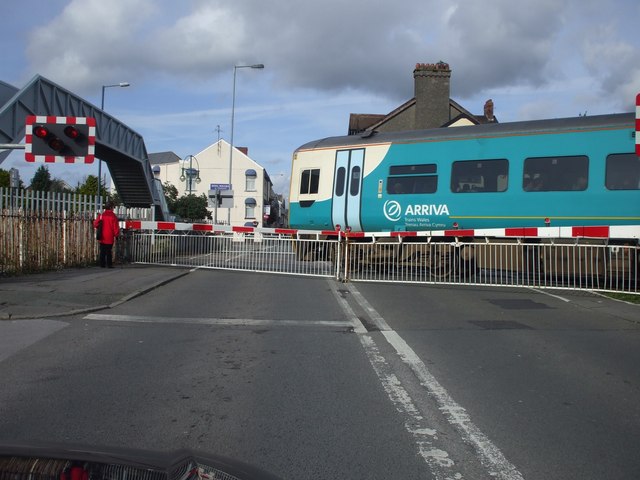
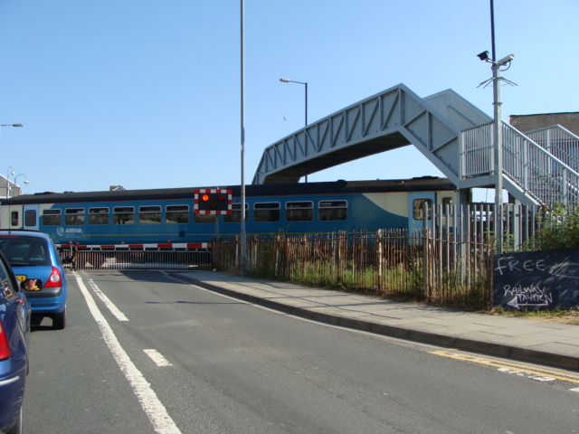
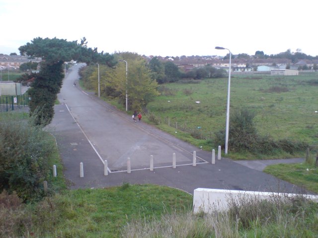
Box Images
Images are sourced within 2km of 51.685687/-4.148472 or Grid Reference SN5100. Thanks to Geograph Open Source API. All images are credited.
Box is located at Grid Ref: SN5100 (Lat: 51.685687, Lng: -4.148472)
Unitary Authority: Carmarthenshire
Police Authority: Dyfed Powys
What 3 Words
///bleat.dawn.baked. Near Llanelli, Carmarthenshire
Nearby Locations
Related Wikis

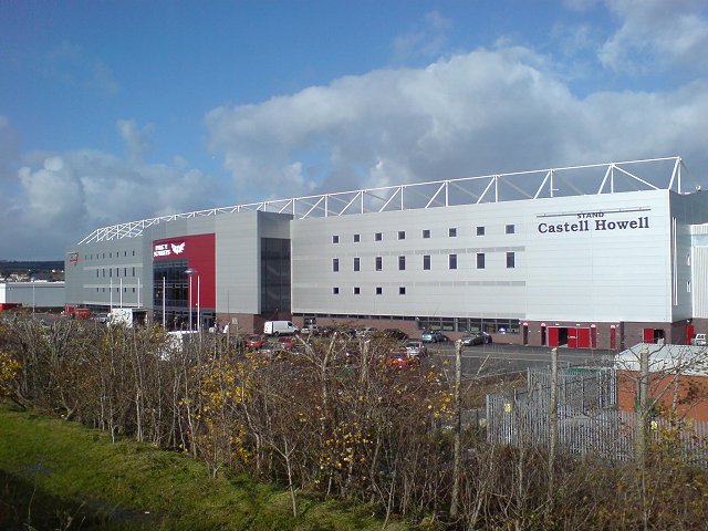
Stebonheath Park
Stebonheath Park (Welsh: Parc Stebonheath) is a multi-use stadium in Llanelli, West Wales with a capacity of 3,700. It is primarily used as a football...

St Alban's Church, Llanelli
St Alban's Church Was an Anglican church in the town of Llanelli, Carmarthenshire, Wales. It was built between 1911 and 1915 and is located prominently...

Capel Als, Llanelli
Capel Als is an Independent (Congregational) chapel in Llanelli, Carmarthenshire, Wales, It is regarded as one of the most significant religious buildings...
Lliedi (electoral ward)
Lliedi is an electoral ward for Llanelli Town Council and Carmarthenshire County Council in Llanelli, Wales. The ward is in the far north of Llanelli...

Zion Baptist Chapel, Llanelli
Zion or Seion Baptist Chapel is a Baptist chapel in the town of Llanelli, Carmarthenshire, Wales. It was built in 1857 and is located at Island Place,...

Coedcae School
Coedcae School (Welsh: Ysgol Coedcae) is a comprehensive school in Llanelli, Wales. As of 2020 it has 880 pupils, aged from 11 to 16 years old. The school...
Myrtle House
Myrtle House is an Elim Pentecostal Church in Llanelli, Wales. The church was started in 1935 as a result of the actions of P.S. Brewster. == History... ==

Calfaria Baptist Chapel, Llanelli
Calfaria was one of the many Baptist chapels in Llanelli, Carmarthenshire, Wales. Established in 1881, the original chapel was a modest red-brick building...
Nearby Amenities
Located within 500m of 51.685687,-4.148472Have you been to Box?
Leave your review of Box below (or comments, questions and feedback).