Upstreet

Settlement in Kent Canterbury

England

Upstreet

Drainage channel
Drainage channel Credit: N Chadwick

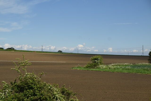
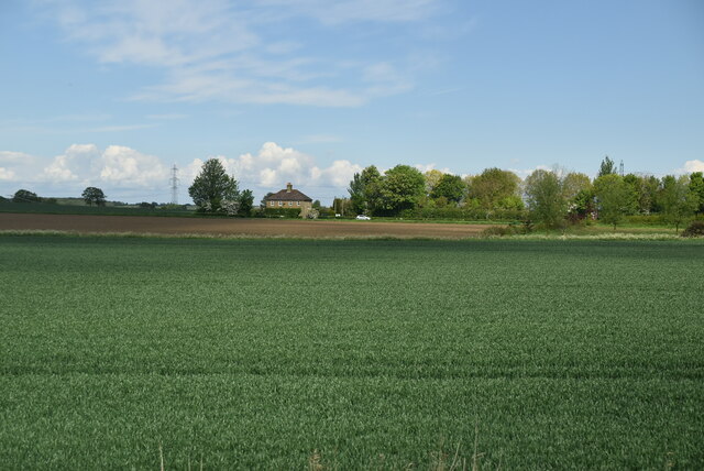
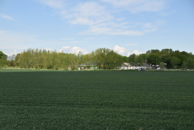
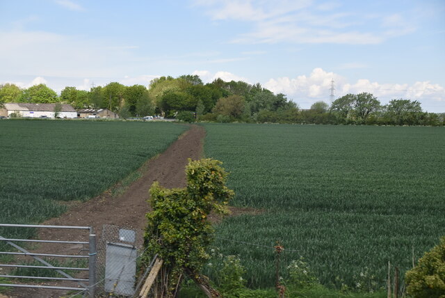
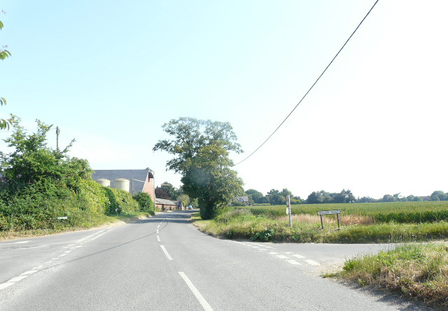
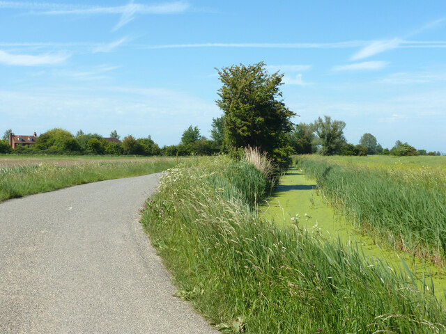
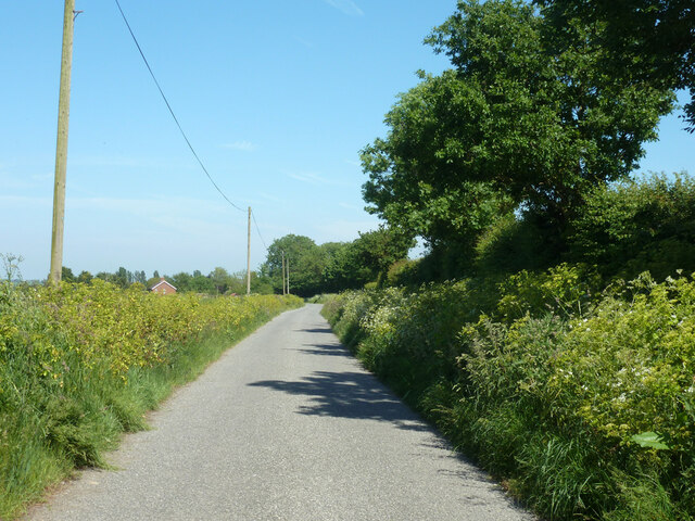
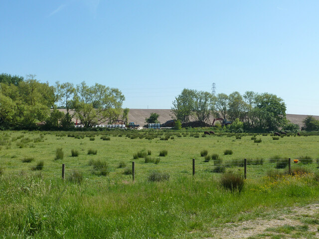
Upstreet is a small village located in the county of Kent, England. Situated approximately 5 miles northeast of the historic city of Canterbury, Upstreet falls within the civil parish of Sturry. It is nestled in a rural setting, surrounded by picturesque countryside and farmland.

The village is primarily residential, with a population of around 500 people. It boasts a close-knit community, with a friendly and welcoming atmosphere. The architecture in Upstreet is predominantly traditional, with a mix of period cottages and modern homes.

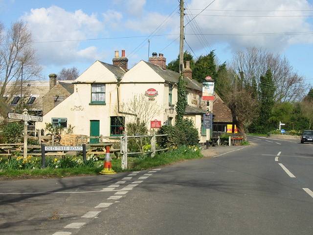
Despite its small size, Upstreet offers a range of amenities to its residents. These include a local pub, The Grove Ferry Inn, which is a popular spot for both locals and visitors to enjoy a drink or a meal. The village also has a village hall, which hosts various community events and activities throughout the year.

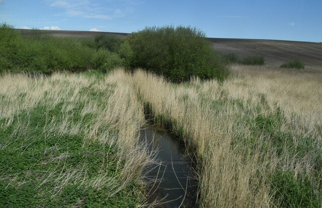
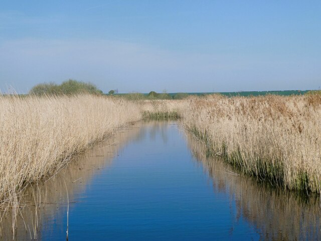
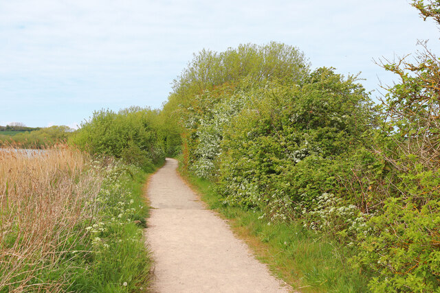
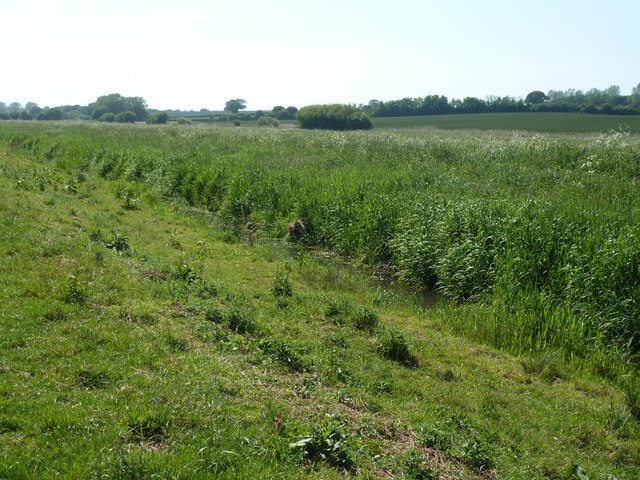
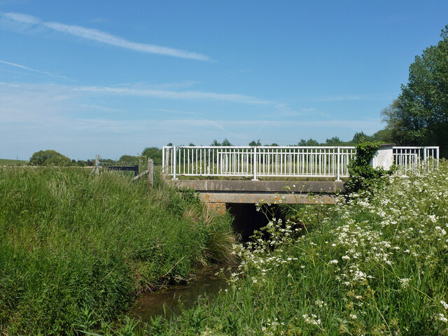
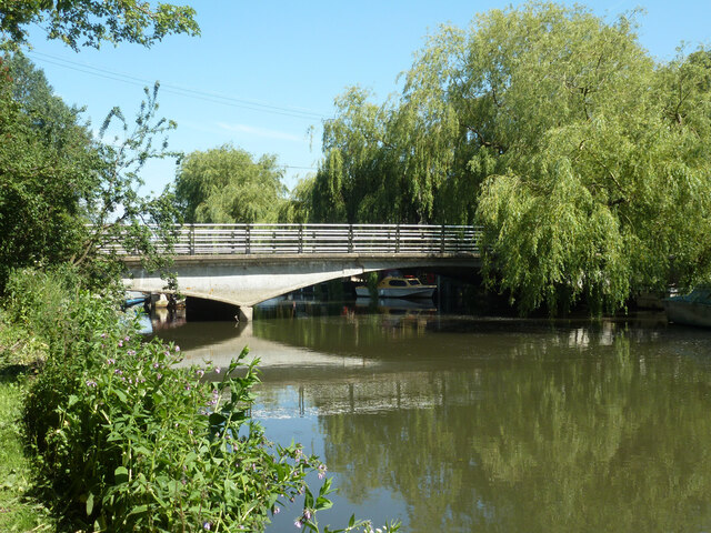
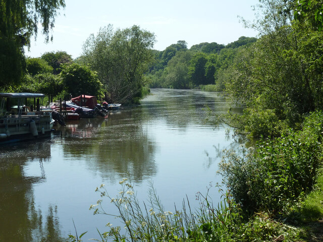
One of the notable attractions in Upstreet is the Grove Ferry Picnic Site, located on the banks of the River Stour. This picturesque spot provides opportunities for picnicking, fishing, and boating. The nearby Stodmarsh National Nature Reserve is also a significant natural area, offering a haven for wildlife and opportunities for walking and birdwatching.

Upstreet benefits from its proximity to Canterbury, which offers a wider range of amenities, including shopping centers, restaurants, and cultural attractions. The village is well-connected by road, with easy access to the A28 and A2, allowing for convenient travel to other parts of Kent and beyond.

Overall, Upstreet is a charming and peaceful village, offering a tranquil lifestyle and a close connection to the surrounding natural beauty of the Kent countryside.

If you have any feedback on the listing, please let us know in the comments section below.

Upstreet Images

Images are sourced within 2km of 51.324103/1.1975373 or Grid Reference TR2263. Thanks to Geograph Open Source API. All images are credited.

Drainage channel
Drainage channel
Farmland in Stour Valley
Arable fields
Arable fields
Wall End Farm
Wall End Farm
Footpath crossing field
Stodmarsh National Nature Reserve View from the footpath of one of the drainage ditches through the reedbeds.
Stodmarsh National Nature Reserve
View from the footpath of one of the drainage ditches through the reedbeds.
Stodmarsh National Nature reserve Dandelions and peacock butterfly by one of the footpaths.
Stodmarsh National Nature reserve
Dandelions and peacock butterfly by one of the footpaths.
Chislet Court Farm Viewed from Church Lane near to the junction with Hollow Road.
Chislet Court Farm
Viewed from Church Lane near to the junction with Hollow Road.
Lampen Wall Path in Stodmarsh Nature Reserve.
Lampen Wall
Path in Stodmarsh Nature Reserve.
Drain by Chitty Lane
Chitty Lane, Chislet Towards Chitty.
Chitty Lane, Chislet
Towards Chitty.
Nethergong Penn A rather overgrown but important drainage channel.
Nethergong Penn
A rather overgrown but important drainage channel.
Bridge over Nethergong Penn The road crossing is Nethergong Hill, at least to the right. It becomes Sandpit Hill somewhere to the left.
Bridge over Nethergong Penn
The road crossing is Nethergong Hill, at least to the right. It becomes Sandpit Hill somewhere to the left.
Bagged firewood site near Nethergong Farm A deduction from the stacks of timber and a great many white bags.
Bagged firewood site near Nethergong Farm
A deduction from the stacks of timber and a great many white bags.
Bridge over Great Stour, Grove Ferry Aside from a temporary WWII military bridge, soon perversely dismantled, there was no bridge here until 1963. Before, there was a one-at-a-time vehicle ferry.
Bridge over Great Stour, Grove Ferry
Aside from a temporary WWII military bridge, soon perversely dismantled, there was no bridge here until 1963. Before, there was a one-at-a-time vehicle ferry.
Great Stour upstream of Grove Ferry
Railway west of Grove Ferry level crossing The Ashford to Ramsgate line.
Railway west of Grove Ferry level crossing
The Ashford to Ramsgate line.
Railway east of Grove Ferry level crossing The Ashford to Ramsgate line.  This was where Grove Ferry station was, there is very little trace now.
Railway east of Grove Ferry level crossing
The Ashford to Ramsgate line. This was where Grove Ferry station was, there is very little trace now.
Show me another place!

Upstreet is located at Grid Ref: TR2263 (Lat: 51.324103, Lng: 1.1975373)

Administrative County: Kent

District: Canterbury

Police Authority: Kent

What 3 Words

///unfair.dearest.fond. Near Sturry, Kent

Related Wikis

Upstreet

Upstreet is a village in the civil parish of Chislet in Kent, England. It is in the local government district of Canterbury, and the electoral ward of...

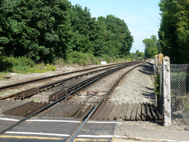
Grove Ferry and Upstreet railway station

Grove Ferry and Upstreet was a railway station in east Kent. It was opened by South Eastern Railway (SER), on the Ashford to Ramsgate (via Canterbury West...

Grove Ferry Picnic Area

The Grove Ferry Picnic Area is near Upstreet, in Kent, England, on the site of an old hand-drawn ferry that once crossed the River Stour here. The area...
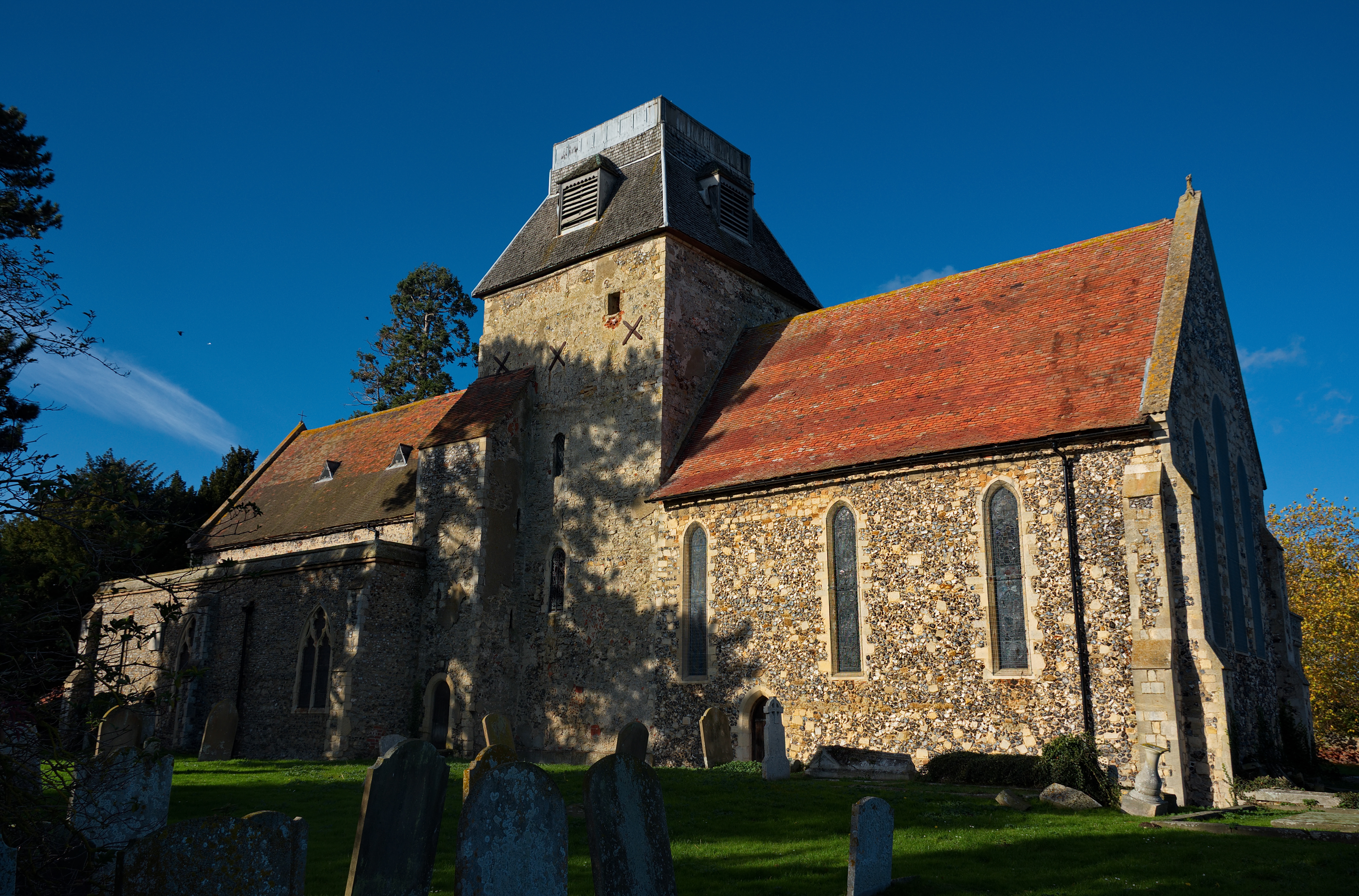
Chislet

Chislet is an English village and civil parish in northeast Kent between Canterbury and the Isle of Thanet. The parish is the second largest in the district...

Stodmarsh SSSI

Stodmarsh SSSI is a 623.2-hectare (1,540-acre) biological Site of Special Scientific Interest near Stodmarsh, north-east of Canterbury in Kent. Parts of...

Boyden Gate

Boyden Gate is a village in the civil parish of Chislet in Kent, England. == External links == Media related to Boyden Gate at Wikimedia Commons

Hoath

Hoath is a semi-rural village and civil parish in the City of Canterbury local government district. The hamlets of Knaves Ash, Maypole, Ford, Old Tree...

Hersden

Hersden is a village east of Canterbury in Kent, South East England. It was established as a planned coalmining village in the 1920s and is on the A28...

Nearby Amenities

Located within 500m of 51.324103,1.1975373
Upstreet
Is In: Kent,England,UK
Place: village
Wikidata: Q590895
Lat/Long: 51.3238777/1.1958853
Bus Stop
Port Farm
Bus: yes
Naptan AtcoCode: 2400A040070A
Naptan Bearing: NE
Naptan CommonName: Motech Garage
Naptan Indicator: adj
Naptan Landmark: Motech Garage
Naptan NaptanCode: kntdptmg
Naptan Street: Island Road
Naptan Verified: no
Public Transport: platform
Source: naptan_import
Lat/Long: 51.3216579/1.1925001
Bus Stop
Post Office
Bench: no
Bin: no
Bus: yes
Flag: yes
Naptan AtcoCode: 2400A040080A
Naptan Bearing: NE
Naptan CommonName: Post Office
Naptan Indicator: adj
Naptan Landmark: Post Office
Naptan NaptanCode: kntdptmj
Naptan Street: Island Road
Naptan Verified: no
Public Transport: platform
Shelter: no
Source: naptan_import
Tactile Paving: no
Lat/Long: 51.3231954/1.1964524
Bus Stop
Grove Ferry Hill
Bench: no
Bin: no
Bus: yes
Flag: yes
Naptan AtcoCode: 2400A040090A
Naptan Bearing: NE
Naptan CommonName: Grove Ferry Hill
Naptan Indicator: opp
Naptan Landmark: Grove Ferry Hill
Naptan NaptanCode: kntdptmp
Naptan Street: Island Road
Naptan Verified: no
Public Transport: platform
Shelter: no
Source: naptan_import
Tactile Paving: no
Lat/Long: 51.3252675/1.2005681
Bus Stop
Grove Ferry Hill
Bench: no
Bin: yes
Bus: yes
Lit: yes
Naptan AtcoCode: 2400A040120A
Naptan Bearing: SW
Naptan CommonName: Grove Ferry Hill
Naptan Indicator: adj
Naptan Landmark: Grove Ferry Hill
Naptan NaptanCode: kntdptpa
Naptan Street: Island Road
Naptan Verified: no
Public Transport: platform
Shelter: no
Source: naptan_import
Tactile Paving: no
Lat/Long: 51.325331/1.2012525
Bus Stop
Post Office
Bench: yes
Bin: yes
Bus: yes
Naptan AtcoCode: 2400A040130A
Naptan Bearing: SW
Naptan CommonName: Post Office
Naptan Indicator: opp
Naptan Landmark: Stour Valley Close
Naptan NaptanCode: kntdptpd
Naptan Street: Island Road
Naptan Verified: no
Public Transport: platform
Shelter: yes
Source: naptan_import
Tactile Paving: no
Lat/Long: 51.3229967/1.1964816
Bus Stop
Port Farm
Bench: no
Bin: no
Bus: yes
Naptan AtcoCode: 2400A040140A
Naptan Bearing: SW
Naptan CommonName: Motech Garage
Naptan Indicator: opp
Naptan Landmark: Motech Garage
Naptan NaptanCode: kntdptpg
Naptan Street: Island Road
Naptan Verified: no
Public Transport: platform
Shelter: no
Source: naptan_import
Lat/Long: 51.3214758/1.1922271
Post Box
Collection Times: Mo-Fr 17:00; Sa 11:00
Post Box Design: ludlow
Post Box Mounting: building
Post Box Type: wall
Ref: CT3 200
Royal Cypher: GR
Royal Cypher Wikidata: Q33102273
Lat/Long: 51.323255/1.1965388
Post Office
Upstreet Post Office
Addr City: Canterbury
Addr Country: GB
Addr Housenumber: 67
Addr Postcode: CT3 4BZ
Addr Street: Island Road
Brand: Post Office
Brand Wikidata: Q1783168
Opening Hours: Mo-Sa 06:00-20:00; Su 07:00-16:00
Ref Pol Id: 1724
Source: OS OpenData StreetView
Website: https://www.postoffice.co.uk/branch-finder/1139096/upstreet
Lat/Long: 51.3232699/1.1964436
Crossing
Crossing: unmarked
Crossing Island: yes
Crossing Ref: island
Tactile Paving: yes
Lat/Long: 51.3219251/1.1937591
Power: pole
Lat/Long: 51.3260438/1.2040168
Barrier: kissing_gate
Foot: yes
Source: survey
Lat/Long: 51.3224052/1.2004801
Barrier: kissing_gate
Foot: yes
Source: survey
Lat/Long: 51.3224847/1.2003714
Crossing: uncontrolled
Crossing Barrier: no
Railway: crossing
Lat/Long: 51.3224292/1.2004801
Crossing: uncontrolled
Crossing Barrier: no
Railway: crossing
Lat/Long: 51.3224615/1.2004378
Communication Microwave: no
Communication Mobile Phone: yes
Man Made: mast
Tower Type: communication
Lat/Long: 51.3220312/1.1920221
Generator Method: photovoltaic
Generator Output Electricity: yes
Generator Solar Modules: 16
Generator Source: solar
Generator Type: solar_photovoltaic_panel
Location: roof
Power: generator
Lat/Long: 51.3220654/1.1974159
Generator Method: photovoltaic
Generator Output Electricity: yes
Generator Solar Modules: 8
Generator Source: solar
Generator Type: solar_photovoltaic_panel
Location: roof
Power: generator
Lat/Long: 51.3225314/1.1955893
Generator Method: photovoltaic
Generator Output Electricity: yes
Generator Source: solar
Generator Type: solar_photovoltaic_panel
Location: roof
Power: generator
Lat/Long: 51.3233967/1.1965127
Generator Method: photovoltaic
Generator Output Electricity: yes
Generator Source: solar
Generator Type: solar_photovoltaic_panel
Location: roof
Power: generator
Lat/Long: 51.3234203/1.1965665
Generator Method: photovoltaic
Generator Output Electricity: yes
Generator Solar Modules: 10
Generator Source: solar
Generator Type: solar_photovoltaic_panel
Location: roof
Power: generator
Lat/Long: 51.3231386/1.1962196
Booth: K6
Covered: booth
Disused Amenity: telephone
Man Made: telephone_box
Note: Telephone removed; notice states ownership has transferred to the "local authorities".
Lat/Long: 51.3232293/1.1965491
Power: pole
Lat/Long: 51.3242662/1.1943823
Power: pole
Lat/Long: 51.3240148/1.1928642
Power: pole
Lat/Long: 51.3237835/1.1915365
The data included in this document is from www.openstreetmap.org. The data is made available under ODbL.

Have you been to Upstreet?

Leave your review of Upstreet below (or comments, questions and feedback).