Puddledock Wood
Wood, Forest in Kent Canterbury
England
Puddledock Wood
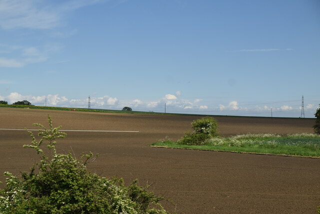
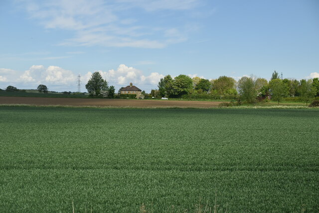
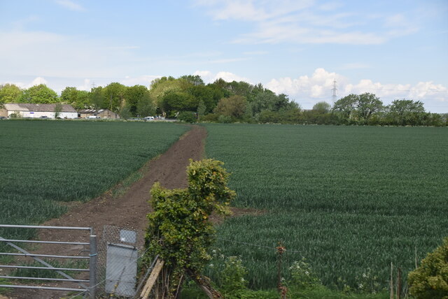
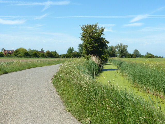
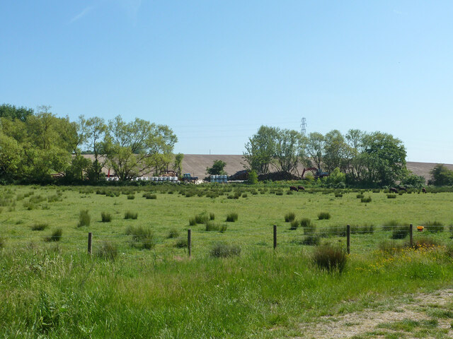
Puddledock Wood is a charming woodland located in the county of Kent, England. Situated near the village of Puddledock, this wood is a haven for nature lovers and outdoor enthusiasts. Covering an area of approximately 50 acres, Puddledock Wood is a beautiful mix of ancient trees, diverse vegetation, and abundant wildlife.
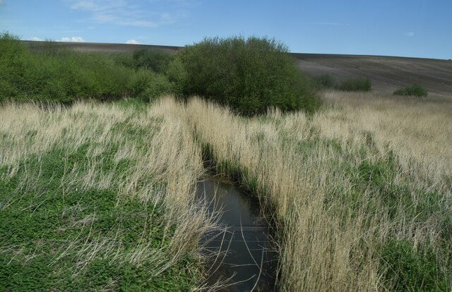
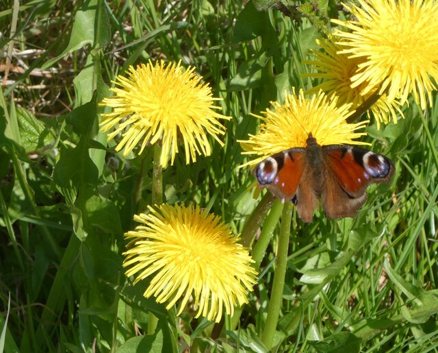
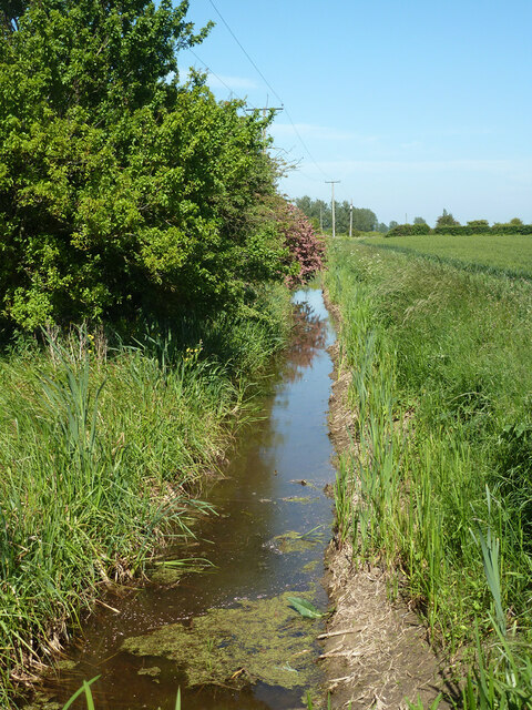
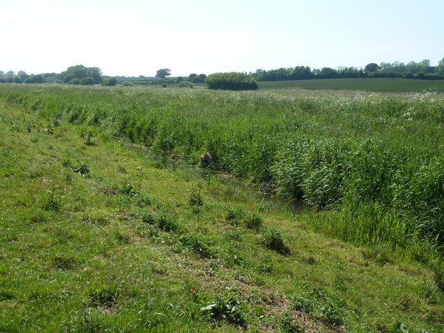
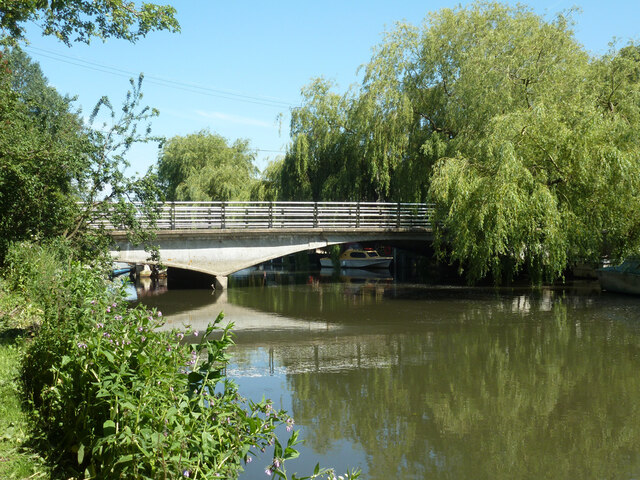
The wood features a variety of tree species, including oak, beech, birch, and hazel, which create a dense and enchanting canopy. The forest floor is adorned with carpets of bluebells, wildflowers, and ferns, adding to its picturesque appeal. The wood is also home to a small stream that meanders through its heart, adding a tranquil touch to the surroundings.
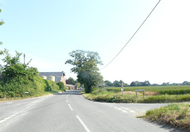
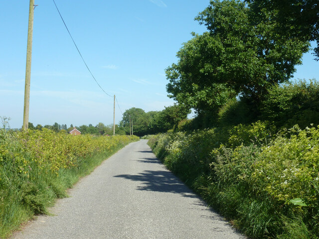
As one ventures deeper into the wood, they will discover a network of footpaths and trails, making it an ideal location for walking, jogging, or simply exploring. These paths lead visitors through different sections of the wood, offering glimpses of its ever-changing beauty throughout the seasons.
Puddledock Wood is teeming with wildlife, providing a habitat for a diverse range of species. Birdwatchers can spot various species, including woodpeckers, owls, and thrushes. Squirrels are a common sight, scampering among the trees, while foxes and badgers may be spotted during early morning or twilight hours.
The wood is managed by the local authorities, who take great care in preserving its natural beauty and ensuring the safety of visitors. It is open to the public year-round, with no admission fee, allowing everyone to enjoy its wonders.
Puddledock Wood is a true gem within the Kent countryside, offering a peaceful retreat from the hustle and bustle of everyday life. It is a place where visitors can immerse themselves in nature's embrace and experience the tranquility of the wood's timeless beauty.
If you have any feedback on the listing, please let us know in the comments section below.
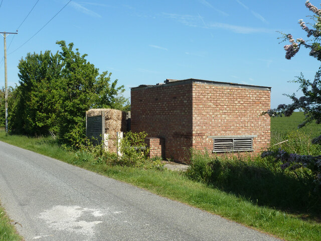
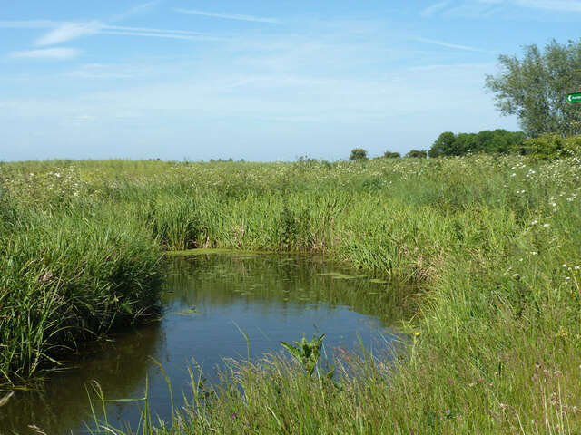
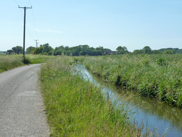
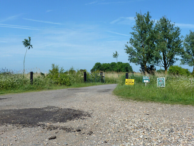
Puddledock Wood Images
Images are sourced within 2km of 51.328471/1.1983152 or Grid Reference TR2263. Thanks to Geograph Open Source API. All images are credited.
Puddledock Wood is located at Grid Ref: TR2263 (Lat: 51.328471, Lng: 1.1983152)
Administrative County: Kent
District: Canterbury
Police Authority: Kent
What 3 Words
///tumble.reversed.marzipan. Near Sturry, Kent
Nearby Locations
Related Wikis

Upstreet
Upstreet is a village in the civil parish of Chislet in Kent, England. It is in the local government district of Canterbury, and the electoral ward of...

Grove Ferry and Upstreet railway station
Grove Ferry and Upstreet was a railway station in east Kent. It was opened by South Eastern Railway (SER), on the Ashford to Ramsgate (via Canterbury West...
Chislet
Chislet is an English village and civil parish in northeast Kent between Canterbury and the Isle of Thanet. The parish is the second largest in the district...

Grove Ferry Picnic Area
The Grove Ferry Picnic Area is near Upstreet, in Kent, England, on the site of an old hand-drawn ferry that once crossed the River Stour here. The area...
Boyden Gate
Boyden Gate is a village in the civil parish of Chislet in Kent, England. == External links == Media related to Boyden Gate at Wikimedia Commons

Sarre Penn
Sarre Penn is a tributary of the River Stour in Kent, England, joining with the River Wantsum near Sarre, where it is known locally as the Fishbourne...
Marshside, Kent
Marshside is a hamlet in the county of Kent, England. It is in the parish of Chislet alongside the Chislet Marshes southeast of Herne Bay. == Governance... ==

Hoath
Hoath is a semi-rural village and civil parish in the City of Canterbury local government district. The hamlets of Knaves Ash, Maypole, Ford, Old Tree...
Nearby Amenities
Located within 500m of 51.328471,1.1983152Have you been to Puddledock Wood?
Leave your review of Puddledock Wood below (or comments, questions and feedback).