Upthorpe
Settlement in Gloucestershire Stroud
England
Upthorpe
Upthorpe is a small village located in the county of Gloucestershire, England. Situated approximately 5 miles northeast of the county town of Gloucester, Upthorpe is nestled amidst the picturesque countryside of the Cotswolds.
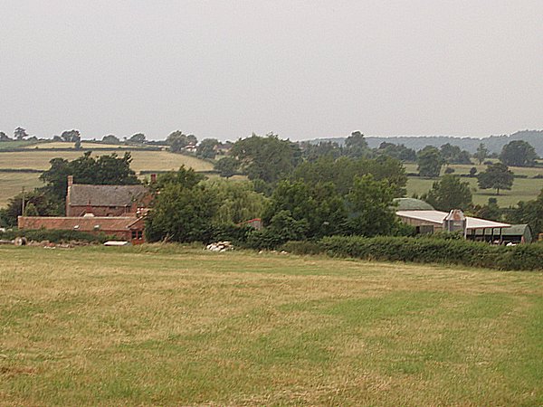
The village is characterized by its idyllic rural setting, with rolling hills, lush green fields, and charming stone cottages dotting the landscape. It exudes a tranquil and peaceful atmosphere, making it an ideal retreat for those seeking a break from the bustling city life.
Upthorpe has a rich history dating back to the medieval period, evident in the architecture of its buildings. The St. Peter's Church, a prominent landmark in the village, boasts a striking Norman tower and is believed to have been built in the 12th century. The church serves as a reminder of the village's historical significance and provides a glimpse into its past.
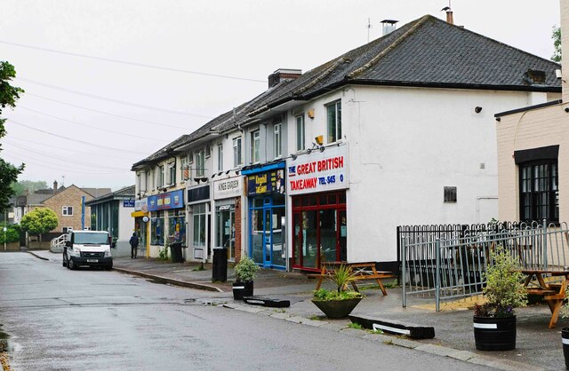
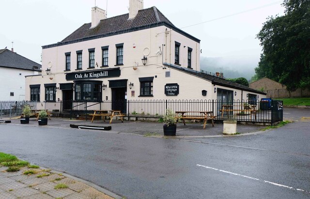
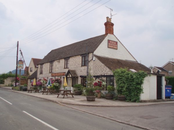
Although small in size, Upthorpe offers a range of amenities for its residents. The village has a local pub, The Red Lion, which is a popular gathering spot for both locals and visitors. It provides a welcoming and friendly environment where people can enjoy traditional pub food and drinks.
Nature enthusiasts will appreciate the proximity of scenic walking trails and nature reserves surrounding Upthorpe. The Cotswold Way, a renowned long-distance footpath, runs close by, offering breathtaking views of the countryside and opportunities for outdoor recreation.
In conclusion, Upthorpe is a charming village in Gloucestershire that combines historical charm with natural beauty. Its tranquil atmosphere and picturesque surroundings make it an appealing destination for both residents and visitors alike.
If you have any feedback on the listing, please let us know in the comments section below.
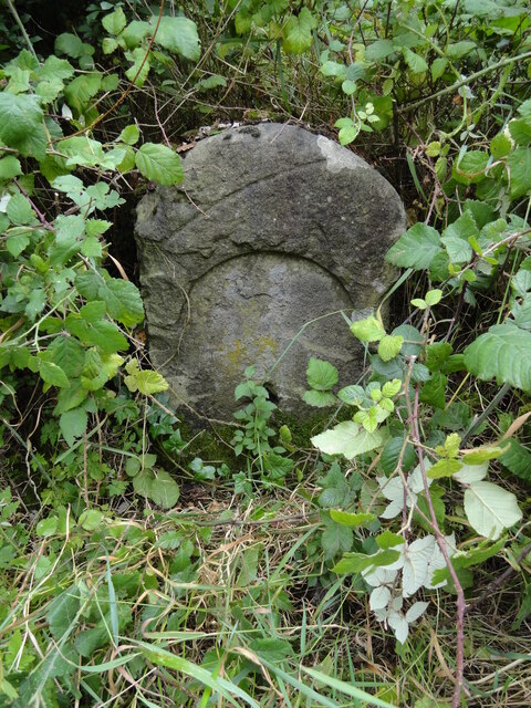
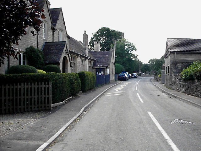
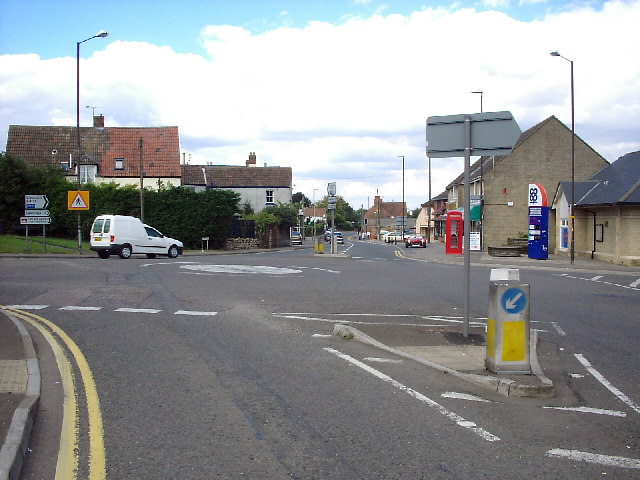
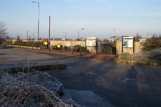
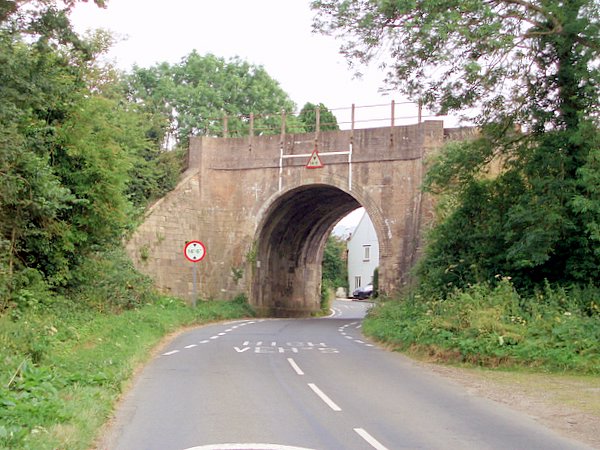
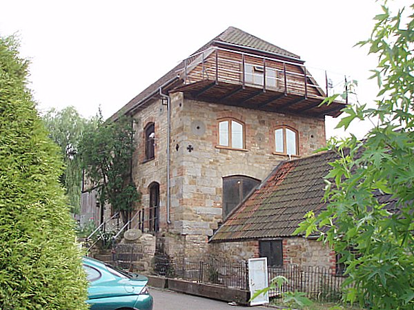
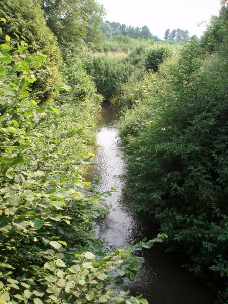
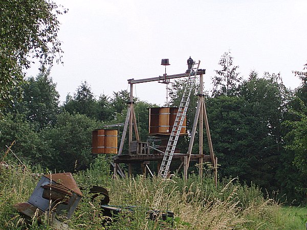
Upthorpe Images
Images are sourced within 2km of 51.703437/-2.3505194 or Grid Reference SO7500. Thanks to Geograph Open Source API. All images are credited.

Upthorpe is located at Grid Ref: SO7500 (Lat: 51.703437, Lng: -2.3505194)
Administrative County: Gloucestershire
District: Stroud
Police Authority: Gloucestershire
What 3 Words
///exits.pushes.feelers. Near Dursley, Gloucestershire
Related Wikis

Cam railway station
Cam railway station served the village of Cam in Gloucestershire, England. The station was on the short Dursley and Midland Junction Railway line which...

Cam, Gloucestershire
Cam is a large village and civil parish in Gloucestershire, England, situated on the edge of the Cotswolds and contiguous with the town of Dursley, north...

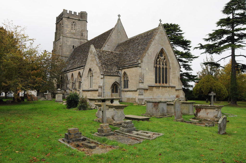
Parish Church of St George
The Parish Church of St George (Church of England) in the village of Cam, Gloucestershire, is an Anglican establishment situated in a slightly elevated...
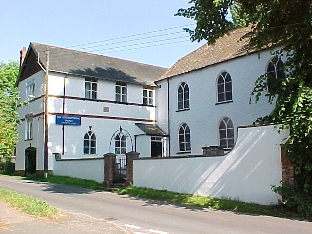
Cam Congregational Church
Cam Congregational Church in the village of Upper Cam near the market town of Dursley, Gloucestershire. Founded in 1662, and originally known as Cam Independent...
Coaley
Coaley is a village in the English county of Gloucestershire roughly 4 miles from the town of Dursley, and 5 miles from the town of Stroud. The village...
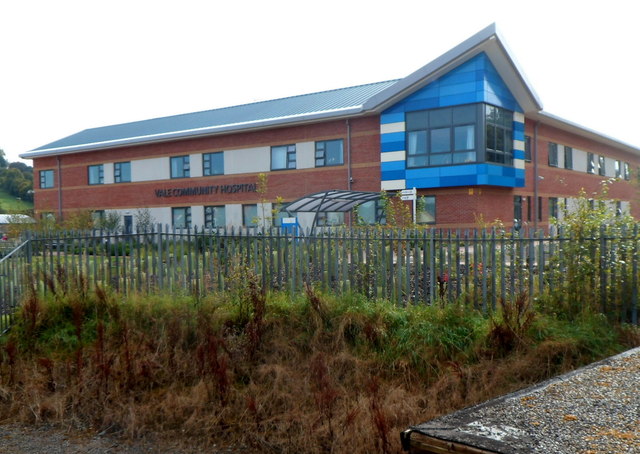
Vale Community Hospital
Vale Community Hospital is a community hospital in Lister Road, Dursley, Gloucestershire, England. It is managed by Gloucestershire Health and Care NHS...

Cam and Dursley railway station
Cam and Dursley railway station is a railway station serving the large village of Cam and the market town of Dursley in Gloucestershire, England. It is...

Rednock School
Rednock School is a comprehensive school located in Dursley, Gloucestershire, England. It is a specialist Science College which also contains a sixth form...
Nearby Amenities
Located within 500m of 51.703437,-2.3505194Have you been to Upthorpe?
Leave your review of Upthorpe below (or comments, questions and feedback).