Upper Slackstead
Settlement in Hampshire Winchester
England
Upper Slackstead

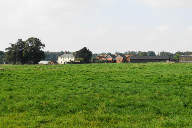
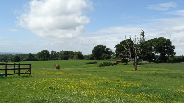
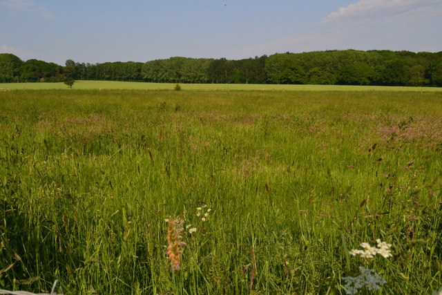
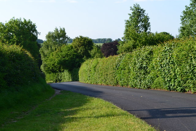
Upper Slackstead is a small village located in the county of Hampshire, England. Situated approximately 10 miles northeast of the city of Salisbury, it falls within the civil parish of West Dean. The village is nestled in a rural setting surrounded by picturesque countryside and farmland.
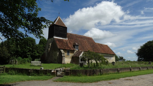
The village itself is comprised of a small number of residential properties, primarily traditional cottages and houses, giving it a charming and quaint atmosphere. The architecture in Upper Slackstead reflects the traditional style of the region, with many buildings dating back several centuries.
Although small in size, Upper Slackstead offers a close-knit community feel, with residents enjoying a peaceful and tranquil way of life. The village is known for its friendly and welcoming atmosphere, often organizing community events and gatherings.
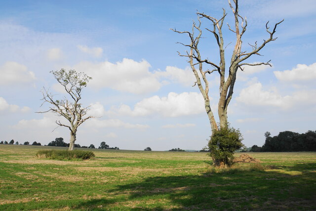
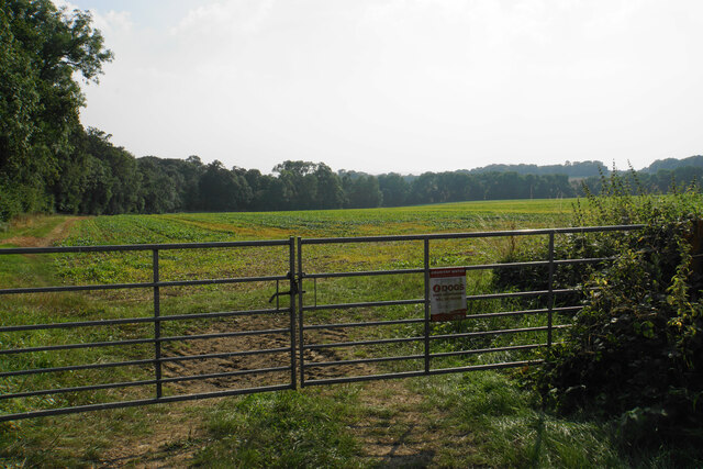
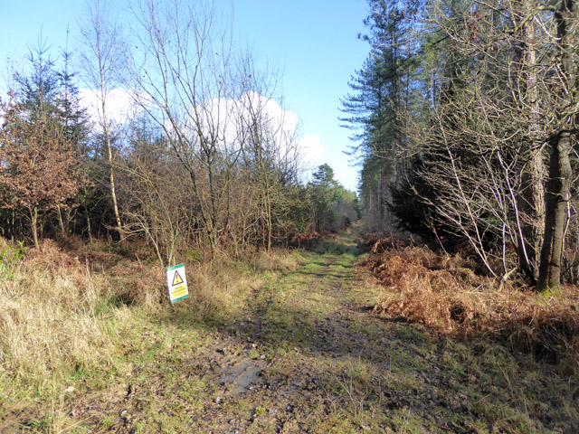
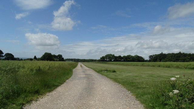
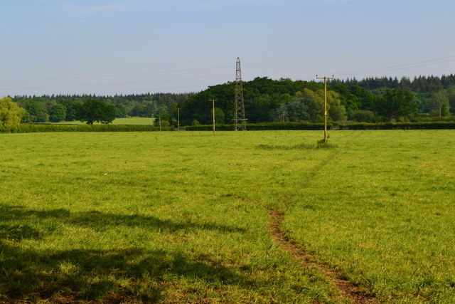
The surrounding countryside provides ample opportunities for outdoor activities and exploration. Residents and visitors can enjoy leisurely walks, cycling, and horse riding along the numerous footpaths and bridleways that crisscross the area. The nearby New Forest National Park is also within easy reach, offering a wealth of natural beauty and wildlife.
In terms of amenities, Upper Slackstead has limited facilities within the village itself. However, nearby towns and villages provide access to essential services such as shops, schools, and healthcare facilities.
Overall, Upper Slackstead is a charming and idyllic village, offering a peaceful and rural lifestyle with easy access to the surrounding countryside.
If you have any feedback on the listing, please let us know in the comments section below.
Upper Slackstead Images
Images are sourced within 2km of 51.032588/-1.4362765 or Grid Reference SU3926. Thanks to Geograph Open Source API. All images are credited.


Upper Slackstead is located at Grid Ref: SU3926 (Lat: 51.032588, Lng: -1.4362765)
Administrative County: Hampshire
District: Winchester
Police Authority: Hampshire
What 3 Words
///relies.certified.sweeter. Near North Baddesley, Hampshire
Nearby Locations
Related Wikis

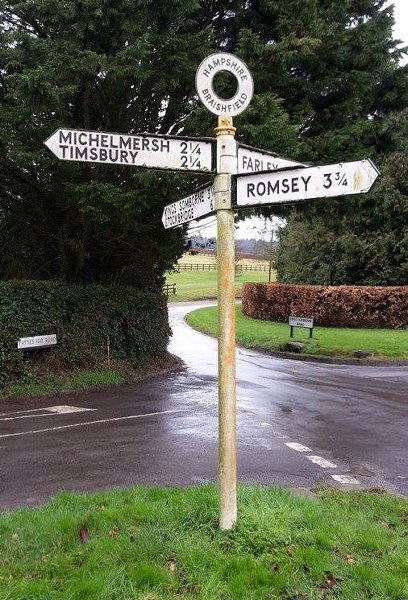
Braishfield
Braishfield is a village and civil parish north of Romsey in Hampshire, England. The name is thought to be derived from the Old English bræsc + feld,...
Ampfield
Ampfield is a village and civil parish in the Borough of Test Valley in Hampshire, England, between Romsey, Eastleigh, and Winchester. It had a population...

IBM Hursley
IBM Hursley is a research and development laboratory belonging to International Business Machines in the village of Hursley, Hampshire, England. Established...
Hursley House
Hursley House is an 18th-century Queen Anne style mansion in Hursley, near Winchester in the English county of Hampshire. The building is Grade II* listed...

The Quarters, Hursley Park
The Quarters is a cricket ground located off Hursley Park Road in the grounds of the former Hursley Park Estate at Hursley, Hampshire, England. Set in...

Farley Mount
Farley Mount is one of the highest points in Hampshire at 174 metres ASL (571ft). It is in Farley Mount Country Park, about four miles west of the historic...
Ratlake Meadows
Ratlake Meadows is a 4.2-hectare (10-acre) biological Site of Special Scientific Interest north of Chandler's Ford in Hampshire.These unimproved meadows...
Sir Harold Hillier Gardens
The Sir Harold Hillier Gardens is an arboretum comprising 72 hectares (180 acres) accommodating over 42,000 trees and shrubs in about 12,000 taxa, notably...
Related Videos

Ampfield Woodland
Ampfield Woodland Location: https://www.google.co.uk/maps/@51.0151181,-1.4228949,3693m/data=!3m1!1e3.

#28 Rob's Hampshire Pub Walks: Braishfield,The Worzel Gummidge , Scatterbrook Farm Walk 5 Miles
One of my TV location Hampshire walks. We visit Braishfield , the countryside of the Test Valley and drop in on Scatterbrook Farm ...

Ampfield Lent Lunches raise £400+ for Romsey Food Bank
Lent Lunches #LentLunch at #Ampfield have raised £400+ for @RomseyFoodbank a @TrussellTrust #foodbank in #Romsey.

Muddy walks
Muddy and wet walks with this one.
Nearby Amenities
Located within 500m of 51.032588,-1.4362765Have you been to Upper Slackstead?
Leave your review of Upper Slackstead below (or comments, questions and feedback).