Slackstead, Upper

Settlement in Hampshire Winchester

England

Slackstead, Upper

Track to Gudge Copse A farm track off Dores Lane. It is not a public footpath.
Track to Gudge Copse Credit: Bill Boaden

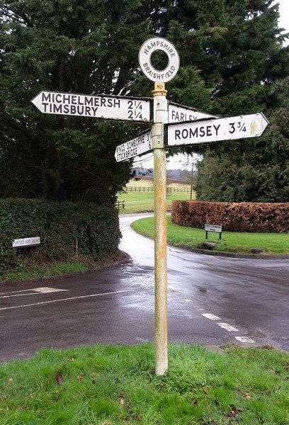
Slackstead is a charming village located in the Upper region of Hampshire, England. Situated amidst the breathtaking countryside, this serene and picturesque hamlet offers a tranquil escape from the bustling city life. With a population of around 200 residents, Slackstead exudes a close-knit community atmosphere that is both welcoming and friendly.

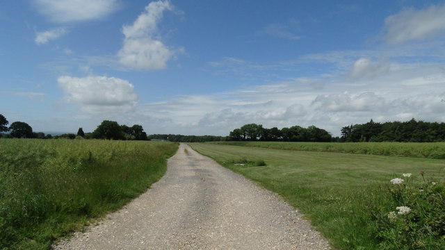
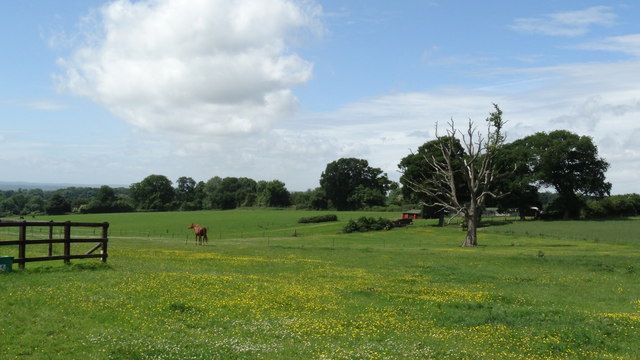
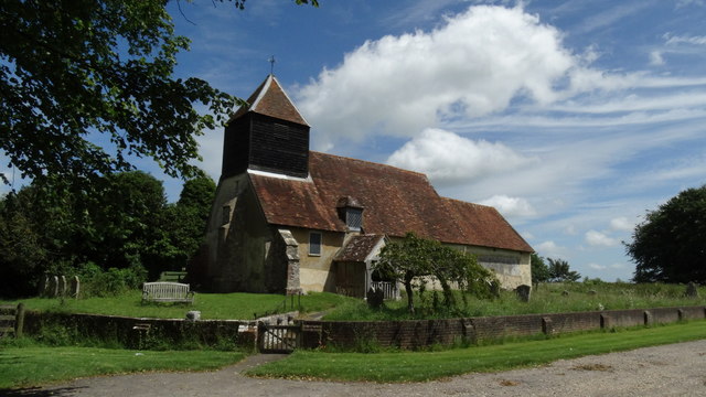
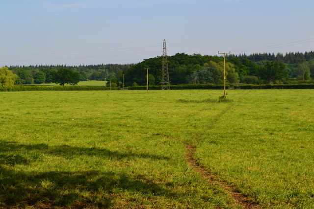
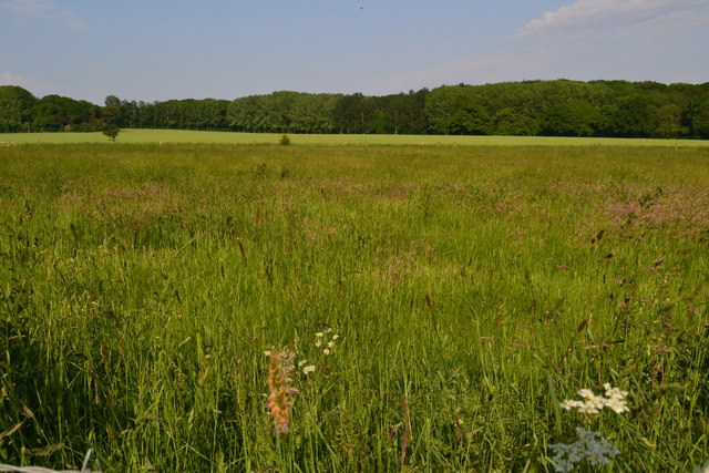
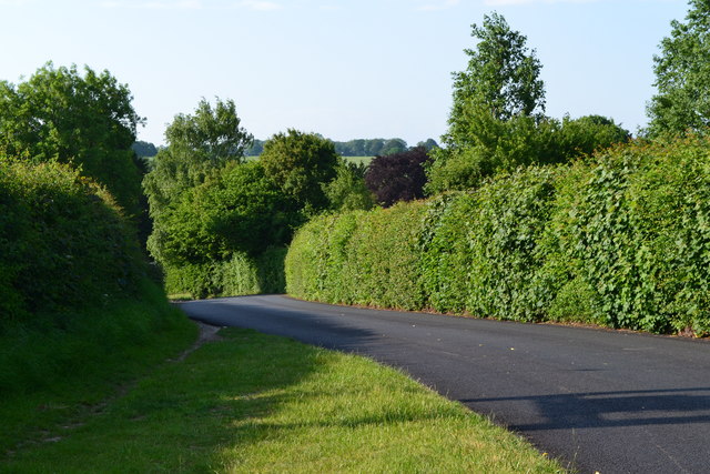
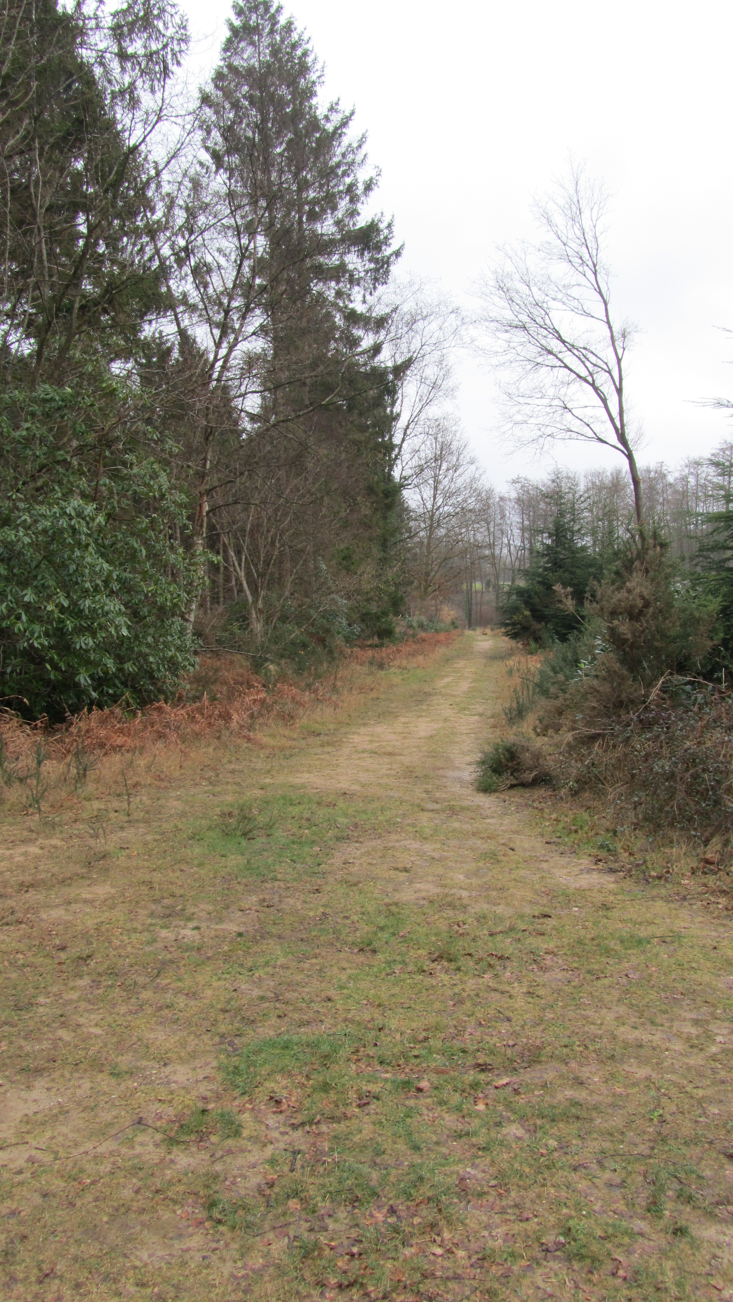
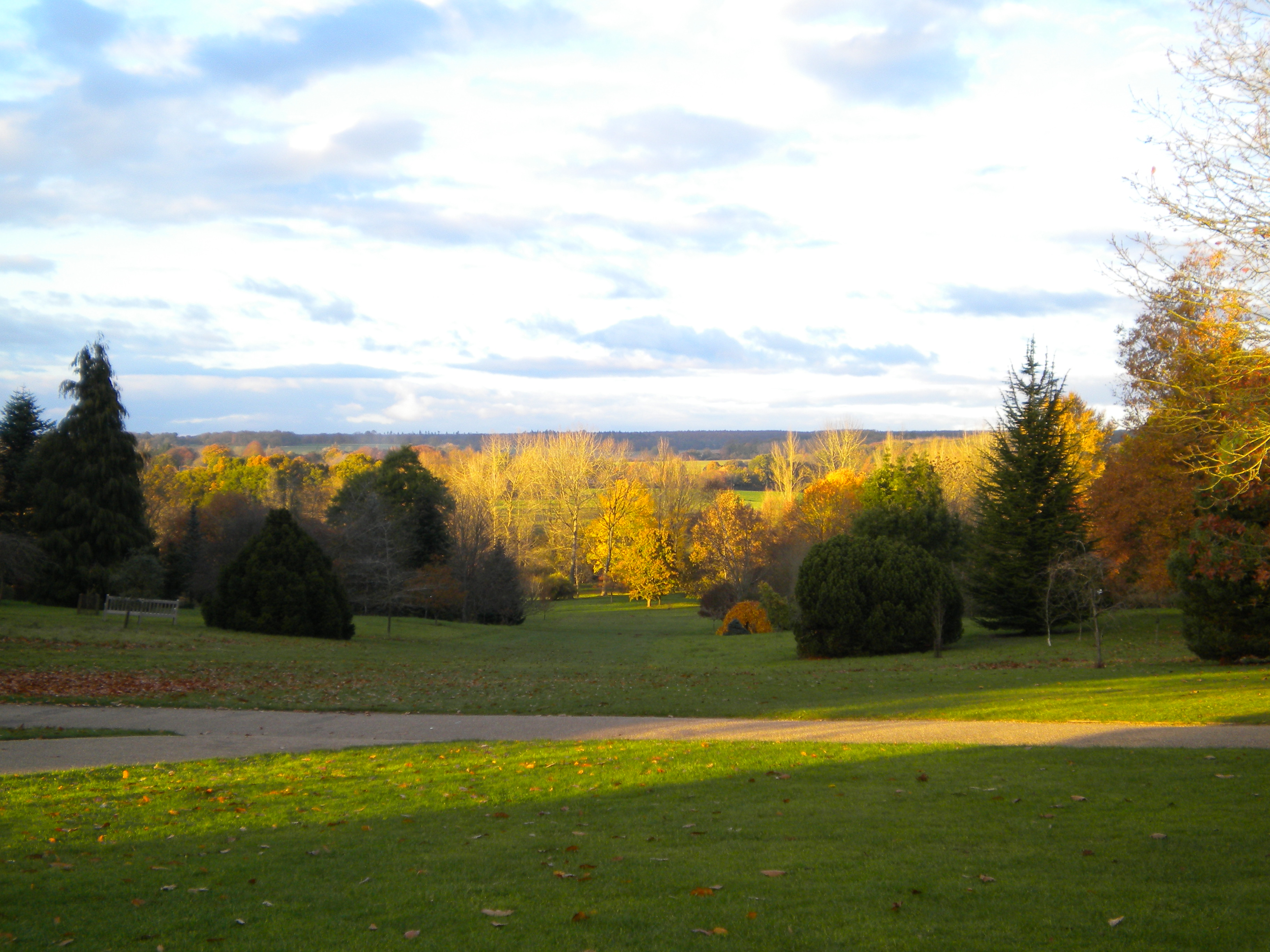
The village is nestled on the edge of the New Forest National Park, providing residents and visitors with ample opportunities for outdoor exploration and recreational activities. Lush green meadows, ancient woodland, and meandering streams surround the area, making it a haven for nature enthusiasts and hikers. The village itself boasts quintessential English charm, with traditional thatched cottages and well-maintained gardens lining the streets.

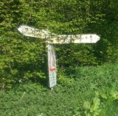
Despite its rural setting, Slackstead benefits from excellent transportation links, making it an ideal location for those seeking a peaceful retreat with easy access to nearby towns and cities. The A36 road runs close by, connecting the village to Salisbury and Southampton, ensuring convenient travel options for residents.

While Slackstead may lack its own amenities, it is in close proximity to several neighboring towns and villages that provide essential services, including shops, schools, and healthcare facilities. Additionally, the vibrant city of Southampton is just a short drive away, offering a wide range of shopping, dining, and entertainment options.

In summary, Slackstead is a charming and idyllic village in Upper Hampshire, offering residents a peaceful and picturesque lifestyle surrounded by natural beauty while still providing convenient access to nearby amenities.

If you have any feedback on the listing, please let us know in the comments section below.

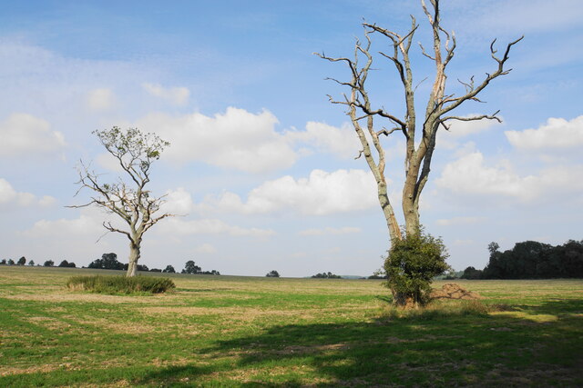
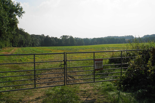
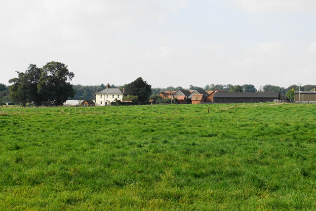
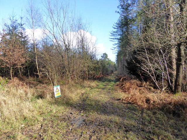
Slackstead, Upper Images

Images are sourced within 2km of 51.032588/-1.4362765 or Grid Reference SU3926. Thanks to Geograph Open Source API. All images are credited.

Track to Gudge Copse A farm track off Dores Lane. It is not a public footpath.
Track to Gudge Copse
A farm track off Dores Lane. It is not a public footpath.
Skeletal trees on Berry Down These have presumably succumbed to a fungal infection, but there are signs of life clinging on.
Skeletal trees on Berry Down
These have presumably succumbed to a fungal infection, but there are signs of life clinging on.
Field above Miller's Copse A crop is emerging but I cannot tell what it is from this distance.
Field above Miller's Copse
A crop is emerging but I cannot tell what it is from this distance.
Open field above Berry Down The aspect from St John's Church, Farley Chamberlayne.
Open field above Berry Down
The aspect from St John's Church, Farley Chamberlayne.
Churchyard of St John's, Farley Chamberlayne A peaceful spot behind the church.
Churchyard of St John's, Farley Chamberlayne
A peaceful spot behind the church.
Farley Farm As seen across the field from the churchyard of St John's.
Farley Farm
As seen across the field from the churchyard of St John's.
Black cattle near Farley Farm Sticking together in a black huddle.
Black cattle near Farley Farm
Sticking together in a black huddle.
Forestry track, Ampfield Wood Forestry Commission woodland.
Forestry track, Ampfield Wood
Forestry Commission woodland.
Grass air strip on Farley Down, Farley Chamberlayne
Pastures by Farley Farm, Farley Chamberlayne
Farley Chamberlayne - St John's Church
Field beside Dores Lane
Fields north of Merrie Meade Farm
Braishfield Road, north of Braishfield
Old Direction Sign - Signpost by Dores Lane, Hursley Parish No finial - 4 arms; by the UC road, in parish of Hursley (Winchester District), junction of Dores Lane and Merdon Castle Lane.

To be surveyed

Milestone Society National ID: HA_SU3926
Old Direction Sign - Signpost by Dores Lane, Hursley Parish
No finial - 4 arms; by the UC road, in parish of Hursley (Winchester District), junction of Dores Lane and Merdon Castle Lane. To be surveyed Milestone Society National ID: HA_SU3926
Old Direction Sign - Signpost by Lower Slackstead No finial - 3 arms; by the UC road, in parish of Hursley (Winchester District), Lower Slackstead, junction of Dores Lane with road to Upper Slackstead.

To be surveyed

Milestone Society National ID: HA_SU3925
Old Direction Sign - Signpost by Lower Slackstead
No finial - 3 arms; by the UC road, in parish of Hursley (Winchester District), Lower Slackstead, junction of Dores Lane with road to Upper Slackstead. To be surveyed Milestone Society National ID: HA_SU3925
St John's Church, Farley Chamberlayne Brass plaque in memory of Church Verger Edith Windibank inside St John's Church, Farley Chamberlayne, Hampshire.
St John's Church, Farley Chamberlayne
Brass plaque in memory of Church Verger Edith Windibank inside St John's Church, Farley Chamberlayne, Hampshire.
Direction Sign - Signpost north of Braishfield Annulus finial - 4 arms; Hants. halo by the UC Road, in parish of Braishfield (Test Valley District), on grass iskand at junction of Braishfield Road with Paynes Hay Road, Farley Lane and Kings Somborne Road.

To be surveyed

Milestone Society National ID: HA_SU3726
Direction Sign - Signpost north of Braishfield
Annulus finial - 4 arms; Hants. halo by the UC Road, in parish of Braishfield (Test Valley District), on grass iskand at junction of Braishfield Road with Paynes Hay Road, Farley Lane and Kings Somborne Road. To be surveyed Milestone Society National ID: HA_SU3726
Show me another place!

Slackstead, Upper is located at Grid Ref: SU3926 (Lat: 51.032588, Lng: -1.4362765)

Administrative County: Hampshire

District: Winchester

Police Authority: Hampshire

What 3 Words

///relies.certified.sweeter. Near North Baddesley, Hampshire

Related Wikis

Braishfield

Braishfield is a village and civil parish north of Romsey in Hampshire, England. The name is thought to be derived from the Old English bræsc + feld,...

Ampfield

Ampfield is a village and civil parish in the Borough of Test Valley in Hampshire, England, between Romsey, Eastleigh, and Winchester. It had a population...

IBM Hursley

IBM Hursley is a research and development laboratory belonging to International Business Machines in the village of Hursley, Hampshire, England. Established...

Hursley House

Hursley House is an 18th-century Queen Anne style mansion in Hursley, near Winchester in the English county of Hampshire. The building is Grade II* listed...

The Quarters, Hursley Park

The Quarters is a cricket ground located off Hursley Park Road in the grounds of the former Hursley Park Estate at Hursley, Hampshire, England. Set in...

Farley Mount

Farley Mount is one of the highest points in Hampshire at 174 metres ASL (571ft). It is in Farley Mount Country Park, about four miles west of the historic...

Ratlake Meadows

Ratlake Meadows is a 4.2-hectare (10-acre) biological Site of Special Scientific Interest north of Chandler's Ford in Hampshire.These unimproved meadows...

Sir Harold Hillier Gardens

The Sir Harold Hillier Gardens is an arboretum comprising 72 hectares (180 acres) accommodating over 42,000 trees and shrubs in about 12,000 taxa, notably...

Nearby Amenities

Located within 500m of 51.032588,-1.4362765
Power: tower
Source: Bing
Lat/Long: 51.0338633/-1.4392906
Power: tower
Source: Bing
Lat/Long: 51.0323147/-1.4414334
Power: tower
Source: Bing
Lat/Long: 51.0354484/-1.4370506
Upper Slackstead
Old Name: Upper Slaxsted
Place: hamlet
Lat/Long: 51.0326223/-1.435223
Verity Medical Ltd.
Addr Housename: Unit 7
Addr Postcode: SO51 0QL
Addr Street: Upper Slackstead Farm
Office: company
Lat/Long: 51.0322789/-1.4346783
Power: pole
Lat/Long: 51.0339073/-1.4354
Power: pole
Lat/Long: 51.0344777/-1.4358739
Power: pole
Lat/Long: 51.035093/-1.4363682
Power: pole
Lat/Long: 51.0357242/-1.4369287
Power: pole
Lat/Long: 51.0333049/-1.4349108
Power: pole
Lat/Long: 51.0327519/-1.4343976
Power: pole
Lat/Long: 51.0322794/-1.4339987
Power: pole
Lat/Long: 51.0291819/-1.4330956
Power: pole
Lat/Long: 51.0298/-1.4334319
Power: pole
Lat/Long: 51.0305178/-1.433817
Power: pole
Lat/Long: 51.0313265/-1.4342456
Power: pole
Lat/Long: 51.036386/-1.4374482
The data included in this document is from www.openstreetmap.org. The data is made available under ODbL.

Have you been to Slackstead, Upper?

Leave your review of Slackstead, Upper below (or comments, questions and feedback).