Gudge Copse

Wood, Forest in Hampshire Winchester

England

Gudge Copse

Track to Gudge Copse A farm track off Dores Lane. It is not a public footpath.
Track to Gudge Copse Credit: Bill Boaden

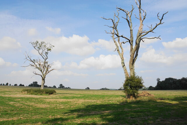
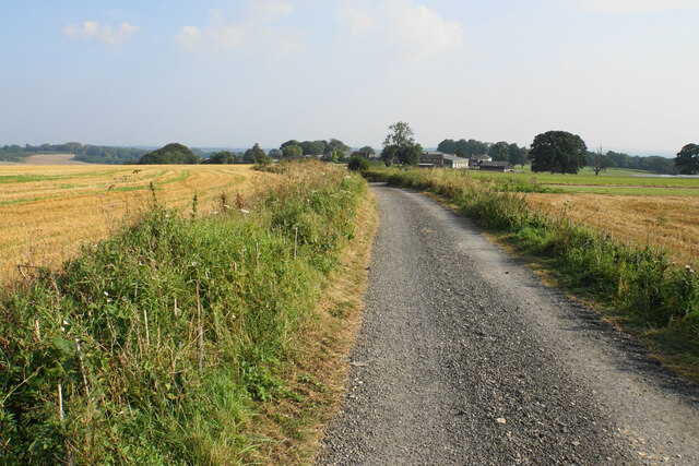
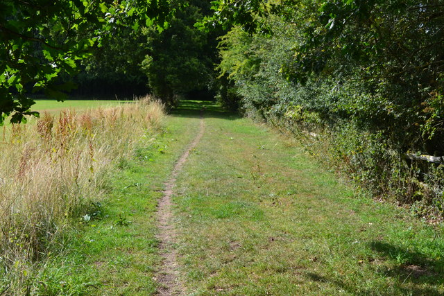
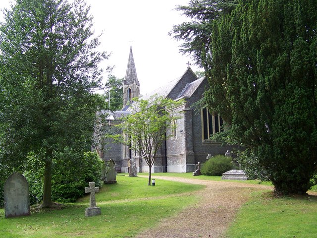
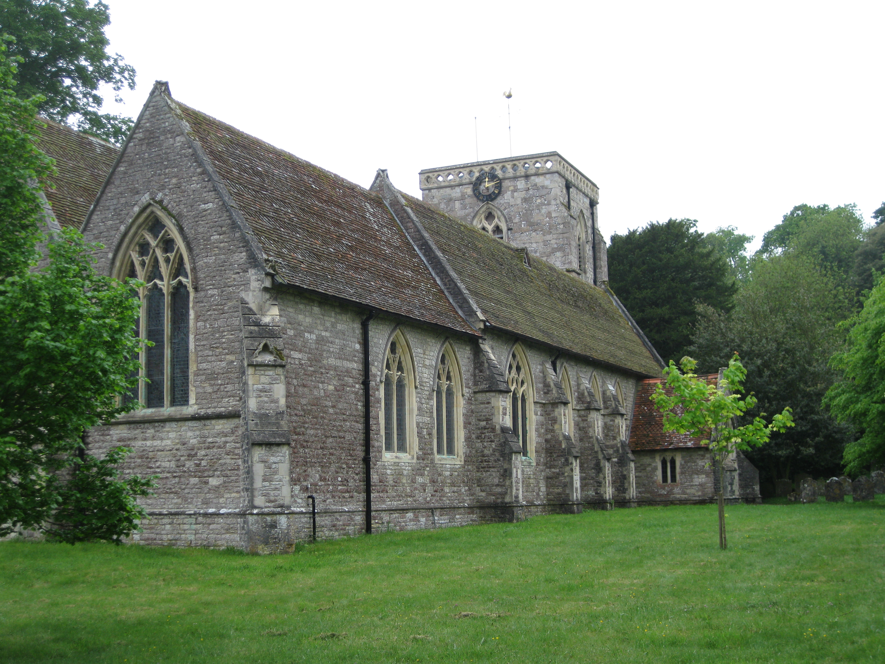
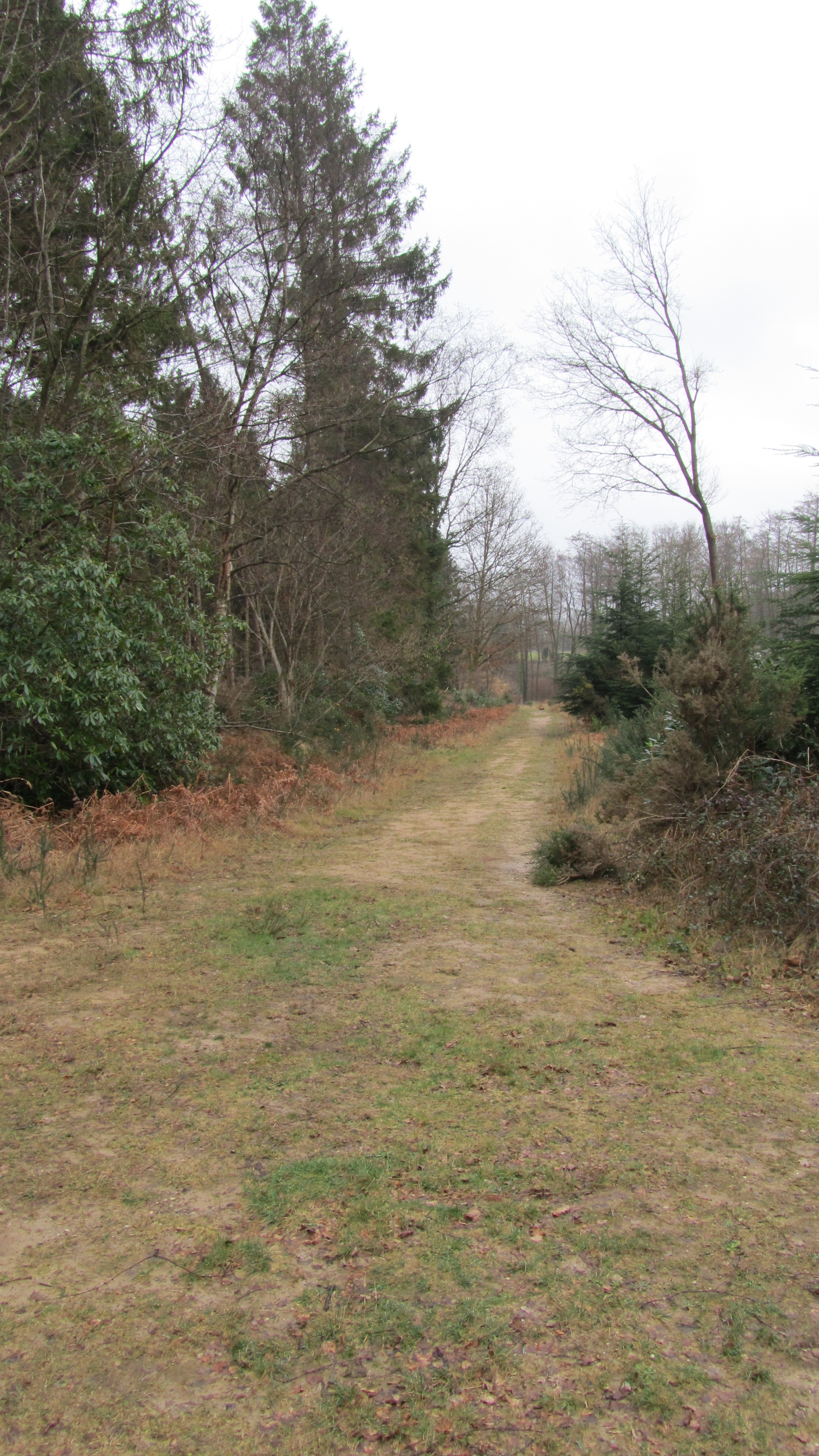
Gudge Copse, located in Hampshire, is a picturesque woodland nestled in the heart of southern England. This enchanting forest covers an area of approximately 300 acres and is known for its diverse flora and fauna.

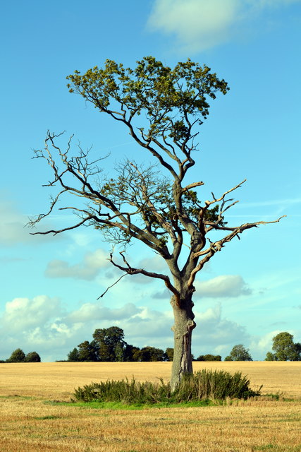
The copse is predominantly composed of deciduous trees, such as oak, beech, and ash, which provide a stunning display of colors during autumn. The forest floor is adorned with a carpet of bluebells in the spring, creating a magical and ethereal ambiance. The dense vegetation and towering trees offer a haven for various bird species, including woodpeckers, nightingales, and tawny owls, making it a paradise for birdwatching enthusiasts.

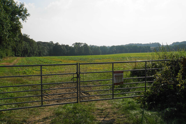
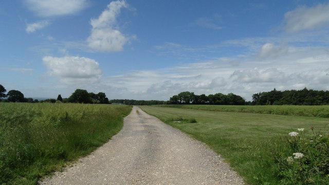
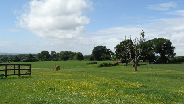
Gudge Copse is also home to an array of wildlife, including deer, badgers, and foxes, which can often be spotted roaming through the undergrowth. The copse is crisscrossed by several walking trails, allowing visitors to explore the natural beauty at their own pace. These trails offer breathtaking views of the surrounding countryside and provide an opportunity to immerse oneself in nature.

The copse is managed by local authorities to ensure the preservation of its natural habitat. It serves as a valuable recreational space for local residents and visitors alike, offering tranquility and a chance to escape the hustle and bustle of daily life. Gudge Copse is a true gem of Hampshire, providing a sanctuary for nature enthusiasts and a place to appreciate the wonders of the natural world.

If you have any feedback on the listing, please let us know in the comments section below.

Gudge Copse Images

Images are sourced within 2km of 51.036877/-1.4324308 or Grid Reference SU3926. Thanks to Geograph Open Source API. All images are credited.

Track to Gudge Copse A farm track off Dores Lane. It is not a public footpath.
Track to Gudge Copse
A farm track off Dores Lane. It is not a public footpath.
Skeletal trees on Berry Down These have presumably succumbed to a fungal infection, but there are signs of life clinging on.
Skeletal trees on Berry Down
These have presumably succumbed to a fungal infection, but there are signs of life clinging on.
Field above Miller's Copse A crop is emerging but I cannot tell what it is from this distance.
Field above Miller's Copse
A crop is emerging but I cannot tell what it is from this distance.
Open field above Berry Down The aspect from St John's Church, Farley Chamberlayne.
Open field above Berry Down
The aspect from St John's Church, Farley Chamberlayne.
Churchyard of St John's, Farley Chamberlayne A peaceful spot behind the church.
Churchyard of St John's, Farley Chamberlayne
A peaceful spot behind the church.
Farley Farm As seen across the field from the churchyard of St John's.
Farley Farm
As seen across the field from the churchyard of St John's.
Black cattle near Farley Farm Sticking together in a black huddle.
Black cattle near Farley Farm
Sticking together in a black huddle.
Farley Farm airfield A private grass airstrip.
Farley Farm airfield
A private grass airstrip.
Track on Farley Down Farley Farm is seen ahead.
Track on Farley Down
Farley Farm is seen ahead.
Grass air strip on Farley Down, Farley Chamberlayne
Pastures by Farley Farm, Farley Chamberlayne
Farley Chamberlayne - St John's Church
Old Direction Sign - Signpost by Dores Lane, Hursley Parish No finial - 4 arms; by the UC road, in parish of Hursley (Winchester District), junction of Dores Lane and Merdon Castle Lane.

To be surveyed

Milestone Society National ID: HA_SU3926
Old Direction Sign - Signpost by Dores Lane, Hursley Parish
No finial - 4 arms; by the UC road, in parish of Hursley (Winchester District), junction of Dores Lane and Merdon Castle Lane. To be surveyed Milestone Society National ID: HA_SU3926
Old Direction Sign - Signpost by Lower Slackstead No finial - 3 arms; by the UC road, in parish of Hursley (Winchester District), Lower Slackstead, junction of Dores Lane with road to Upper Slackstead.

To be surveyed

Milestone Society National ID: HA_SU3925
Old Direction Sign - Signpost by Lower Slackstead
No finial - 3 arms; by the UC road, in parish of Hursley (Winchester District), Lower Slackstead, junction of Dores Lane with road to Upper Slackstead. To be surveyed Milestone Society National ID: HA_SU3925
St John's Church, Farley Chamberlayne Brass plaque in memory of Church Verger Edith Windibank inside St John's Church, Farley Chamberlayne, Hampshire.
St John's Church, Farley Chamberlayne
Brass plaque in memory of Church Verger Edith Windibank inside St John's Church, Farley Chamberlayne, Hampshire.
Path from Ampfield Wood to Lower Slackstead
Farley Chamberlayne
Farley Chamberlayne
Post Box, Oakfield
Post Box, Oakfield
Show me another place!

Gudge Copse is located at Grid Ref: SU3926 (Lat: 51.036877, Lng: -1.4324308)

Administrative County: Hampshire

District: Winchester

Police Authority: Hampshire

What 3 Words

///hired.steady.contents. Near North Baddesley, Hampshire

Related Wikis

Farley Mount

Farley Mount is one of the highest points in Hampshire at 174 metres ASL (571ft). It is in Farley Mount Country Park, about four miles west of the historic...
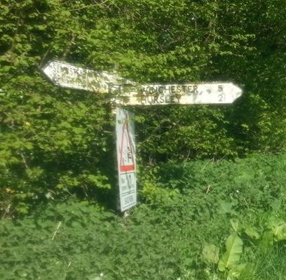
IBM Hursley

IBM Hursley is a research and development laboratory belonging to International Business Machines in the village of Hursley, Hampshire, England. Established...

Hursley House

Hursley House is an 18th-century Queen Anne style mansion in Hursley, near Winchester in the English county of Hampshire. The building is Grade II* listed...

Braishfield

Braishfield is a village and civil parish north of Romsey in Hampshire, England. The name is thought to be derived from the Old English bræsc + feld,...

The Quarters, Hursley Park

The Quarters is a cricket ground located off Hursley Park Road in the grounds of the former Hursley Park Estate at Hursley, Hampshire, England. Set in...

Ampfield

Ampfield is a village and civil parish in the Borough of Test Valley in Hampshire, England, between Romsey, Eastleigh, and Winchester. It had a population...

Hursley

Hursley is a village and civil parish in Hampshire, England with a population of around 900 in 2011. It is located roughly midway between Romsey and Winchester...

Ratlake Meadows

Ratlake Meadows is a 4.2-hectare (10-acre) biological Site of Special Scientific Interest north of Chandler's Ford in Hampshire.These unimproved meadows...

Nearby Amenities

Located within 500m of 51.036877,-1.4324308
Power: tower
Source: Bing
Lat/Long: 51.0399227/-1.4307708
Power: tower
Source: Bing
Lat/Long: 51.0385004/-1.4328147
Power: tower
Source: Bing
Lat/Long: 51.0354484/-1.4370506
Power: pole
Lat/Long: 51.0339073/-1.4354
Power: pole
Lat/Long: 51.0344777/-1.4358739
Power: pole
Lat/Long: 51.035093/-1.4363682
Power: pole
Lat/Long: 51.0357242/-1.4369287
Power: pole
Lat/Long: 51.0333049/-1.4349108
Power: pole
Lat/Long: 51.0327519/-1.4343976
Power: pole
Lat/Long: 51.036386/-1.4374482
Power: pole
Lat/Long: 51.0382934/-1.4386215
The data included in this document is from www.openstreetmap.org. The data is made available under ODbL.

Have you been to Gudge Copse?

Leave your review of Gudge Copse below (or comments, questions and feedback).