Upper Green

Settlement in Yorkshire

England

Upper Green

Crop field off Thorpe Lane Probably a cereal crop, but the shoots are too small at this time in the year to tell which.
Crop field off Thorpe Lane Credit: Stephen Craven

Upper Green is a small village located in the region of Yorkshire, England. Situated in the picturesque countryside, it is nestled in the heart of the Yorkshire Dales National Park. The village is known for its stunning natural beauty, with rolling hills, lush green fields, and charming stone-built houses that give it a timeless appeal.

Despite its small size, Upper Green has a close-knit community that takes pride in its heritage and traditions. The village is home to a friendly population, and residents are known for their warm hospitality. The community spirit is often evident in the various local events and activities that take place throughout the year, bringing together both residents and visitors.

A notable feature of Upper Green is the abundance of outdoor recreational opportunities available in the surrounding area. The Yorkshire Dales National Park offers countless walking trails, cycling routes, and picturesque picnic spots, making it a haven for nature enthusiasts. The village is also within close proximity to several rivers and lakes, providing opportunities for fishing and water-based activities.

For those seeking a taste of local culture, Upper Green is conveniently located near other charming villages and towns. Visitors can explore nearby market towns, such as Skipton and Settle, which offer a wealth of historical landmarks, traditional shops, and bustling markets.

In summary, Upper Green is a tranquil and picturesque village nestled in the Yorkshire Dales National Park. With its stunning natural landscapes, friendly community, and access to outdoor recreational activities, it offers a peaceful retreat for both residents and visitors alike.

If you have any feedback on the listing, please let us know in the comments section below.
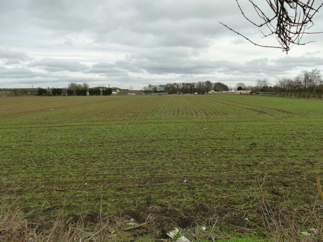
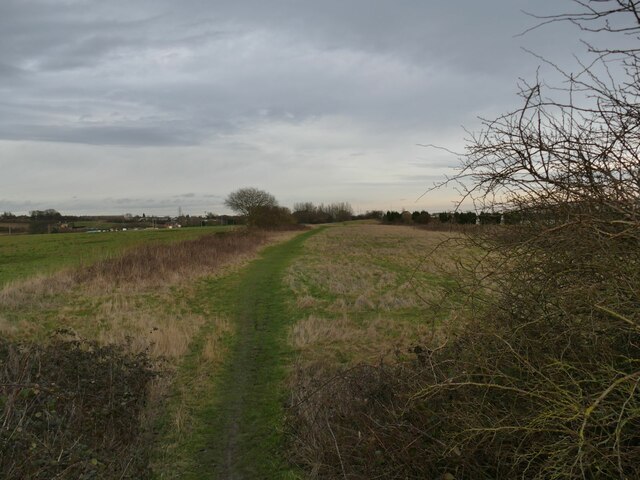
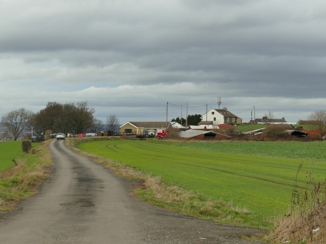
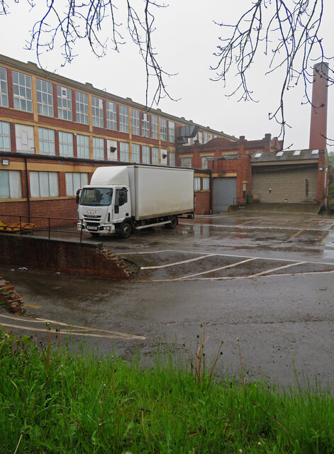
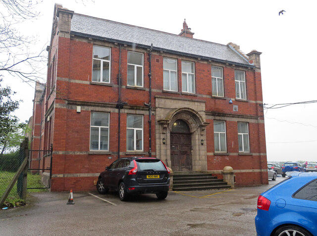
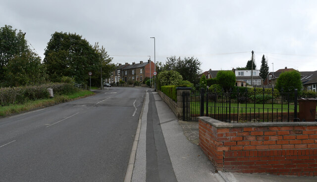
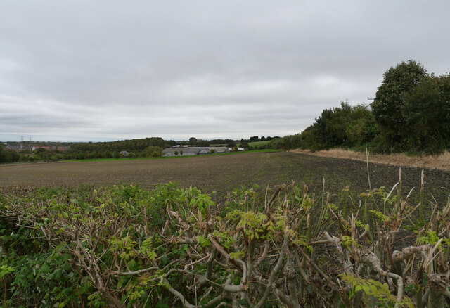
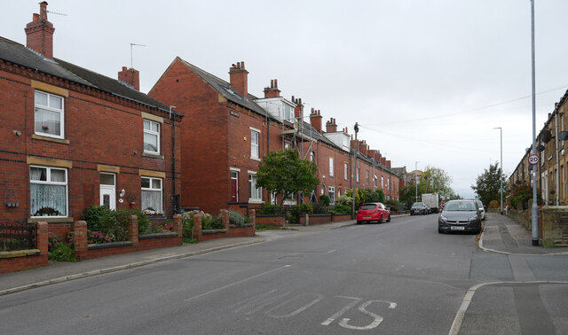
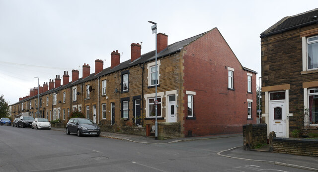
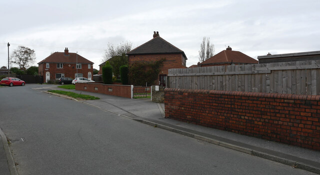
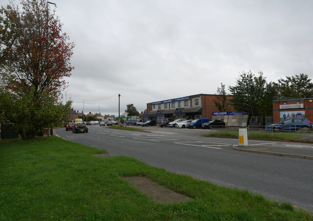
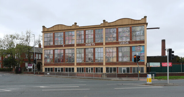
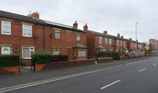
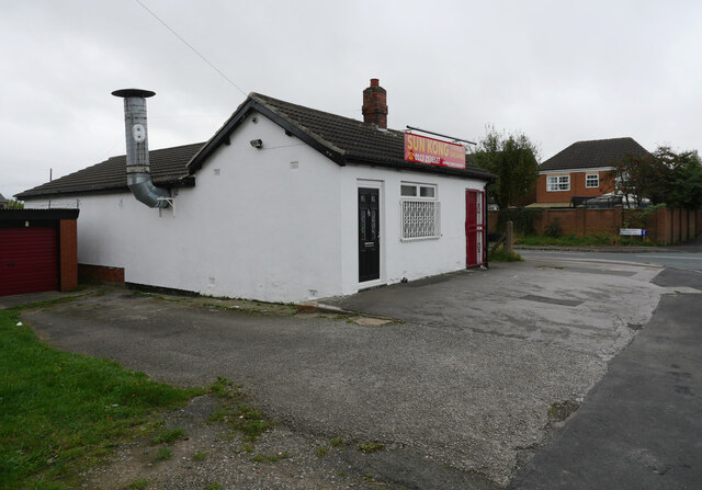
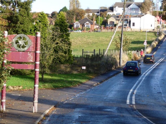
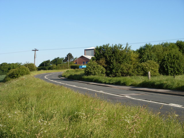
Upper Green Images

Images are sourced within 2km of 53.722009/-1.577907 or Grid Reference SE2725. Thanks to Geograph Open Source API. All images are credited.

Crop field off Thorpe Lane Probably a cereal crop, but the shoots are too small at this time in the year to tell which.
Crop field off Thorpe Lane
Probably a cereal crop, but the shoots are too small at this time in the year to tell which.
Course of former railway east of Dunningley Lane Old maps show a four-track line in a shallow cutting here, which was the Great Northern's line branching off the Leeds main line and serving Bradford and Shipley via Laisterdayke. It would probably have been used mainly by goods trains; Tingley station was a short way west of here, but closed in 1954. The cutting has been filled in to ground level, but surprisingly the surface has not been turned to agricultural use and there is an unofficial footpath along the route.
Course of former railway east of Dunningley Lane
Old maps show a four-track line in a shallow cutting here, which was the Great Northern's line branching off the Leeds main line and serving Bradford and Shipley via Laisterdayke. It would probably have been used mainly by goods trains; Tingley station was a short way west of here, but closed in 1954. The cutting has been filled in to ground level, but surprisingly the surface has not been turned to agricultural use and there is an unofficial footpath along the route.
Dunningley Lane The single-track road is shown as a public footpath along its full length, so probably a private one as far as motor traffic is concerned. A locked gate across it beyond the group of houses in the distance prevents through traffic to the A653 anyway.
Dunningley Lane
The single-track road is shown as a public footpath along its full length, so probably a private one as far as motor traffic is concerned. A locked gate across it beyond the group of houses in the distance prevents through traffic to the A653 anyway.
Ardsley Mills, East Ardsley Steam powered worsted spinning mill built in 1912 by Thomas Ambler and Sons. This very distinctive mill was built with a reinforced concrete frame on the Hennebique system with infill by large windows and red brick. The engine house still survives along with the truncated chimney. The weather has degraded the image as it was raining and dull.
As far as I can see this important building has no statutory protection. It is currently owned by Country Baskets.
Ardsley Mills, East Ardsley
Steam powered worsted spinning mill built in 1912 by Thomas Ambler and Sons. This very distinctive mill was built with a reinforced concrete frame on the Hennebique system with infill by large windows and red brick. The engine house still survives along with the truncated chimney. The weather has degraded the image as it was raining and dull. As far as I can see this important building has no statutory protection. It is currently owned by Country Baskets.
Ardsley Mills office block, East Ardsley Steam powered worsted spinning mill built in 1912 by Thomas Ambler and Sons. This very distinctive mill was built with a reinforced concrete frame on the Hennebique system with infill by large windows and red brick. The engine house still survives along with the truncated chimney. The weather has degraded the image as it was raining and dull.
As far as I can see this important building has no statutory protection. It is currently owned by Country Baskets.
This view, however, is of the adjoining office block.
Ardsley Mills office block, East Ardsley
Steam powered worsted spinning mill built in 1912 by Thomas Ambler and Sons. This very distinctive mill was built with a reinforced concrete frame on the Hennebique system with infill by large windows and red brick. The engine house still survives along with the truncated chimney. The weather has degraded the image as it was raining and dull. As far as I can see this important building has no statutory protection. It is currently owned by Country Baskets. This view, however, is of the adjoining office block.
Common Lane, East Ardsley
A field seen from Common Lane, East Ardsley
Common Lane, East Ardsley
The junction of The Grove and Common Lane, East Ardsley
The Grove, East Ardsley
Bradford Road (A650), East Ardsley The A650 runs 25 miles south east - north west through West Yorkshire, from Wakefield to Keighley.
<span class="nowrap"><a title="http://www.sabre-roads.org.uk/wiki/index.php?title=A650" rel="nofollow ugc noopener" href="http://www.sabre-roads.org.uk/wiki/index.php?title=A650">Link</a><img style="margin-left:2px;" alt="External link" title="External link - shift click to open in new window" src="https://s1.geograph.org.uk/img/external.png" width="10" height="10"/></span>
Bradford Road (A650), East Ardsley
The A650 runs 25 miles south east - north west through West Yorkshire, from Wakefield to Keighley. LinkExternal link
Country Baskets Leeds, Bradford Road (A650), East Ardsley The A650 runs 25 miles south east - north west through West Yorkshire, from Wakefield to Keighley.
<span class="nowrap"><a title="http://www.sabre-roads.org.uk/wiki/index.php?title=A650" rel="nofollow ugc noopener" href="http://www.sabre-roads.org.uk/wiki/index.php?title=A650">Link</a><img style="margin-left:2px;" alt="External link" title="External link - shift click to open in new window" src="https://s1.geograph.org.uk/img/external.png" width="10" height="10"/></span>
Country Baskets Leeds, Bradford Road (A650), East Ardsley
The A650 runs 25 miles south east - north west through West Yorkshire, from Wakefield to Keighley. LinkExternal link
Westerton Road, East Ardsley
Sun Kong Chinese Takeaway, Westerton Road, East Ardsley
Show me another place!

Upper Green is located at Grid Ref: SE2725 (Lat: 53.722009, Lng: -1.577907)

Division: West Riding

Unitary Authority: Leeds

Police Authority: West Yorkshire

What 3 Words

///cigar.actor.shin. Near Morley, West Yorkshire

Related Wikis

Woodkirk

Woodkirk is an ancient village between Leeds and Dewsbury, West Yorkshire, England. The parish church is a grade II listed building. It is traditionally...

Beggarington Hill

Beggarington Hill is a hamlet in the county of West Yorkshire, England, in the City of Leeds and at the border of Kirklees. Historically, it was part of...

Woodkirk Priory

Woodkirk Priory was a cell of Augustinian Canons in West Yorkshire, England. William, second earl of Warenne (d. 1138), had granted the land for its foundation...

Tingley

Tingley is a suburban village in the City of Leeds in West Yorkshire, Northern England, forming part of the parish of West Ardsley. Tingley forms part...

Woodkirk railway station

Woodkirk railway station was a Great Northern Railway (GNR) station on the Batley to Beeston line, which connected Batley to Leeds Central, in West Yorkshire...

Woodkirk Academy

Woodkirk Academy (formerly Woodkirk High School) is an academy located in Tingley, West Yorkshire, England. Established in 1948, the school now has over...

Tingley railway station

Tingley railway station served the settlement of Tingley, West Yorkshire, England, from 1857 to 1966 on the Leeds, Bradford and Halifax Junction Railway...

Jaw Hill

Jaw Hill is a hill in the City of Leeds district of West Yorkshire, England. It is near Kirkhamgate in the City of Wakefield district. == History == A...

Nearby Amenities

Located within 500m of 53.722009,-1.577907
Traffic Calming: table
Lat/Long: 53.7240963/-1.5775783
Turning Circle
Lat/Long: 53.7249291/-1.5771994
Turning Circle
Lat/Long: 53.7258706/-1.5766564
Turning Circle
Lat/Long: 53.7179892/-1.5768282
Turning Circle
Lat/Long: 53.7195209/-1.5812029
Power: substation
Lat/Long: 53.7200543/-1.581529
Bus Stop
Baghill Road Westerton Road
Local Ref: 45016302
Naptan AtcoCode: 450016302
Naptan Bearing: SE
Naptan CommonName: Baghill Road Westerton Road
Naptan Crossing: Westerton Road
Naptan Indicator: Stop 45016302
Naptan PlusbusZoneRef: LEEDS
Naptan ShortCommonName: Westerton Road
Naptan Street: Baghill Road
Naptan Verified: yes
Ref: 45016302
Source: naptan_import
Lat/Long: 53.7220917/-1.5817366
Bus Stop
Westerton Road Syke Road
Local Ref: 45016085
Naptan AtcoCode: 450016085
Naptan Bearing: NE
Naptan CommonName: Westerton Road Syke Road
Naptan Crossing: Syke Road
Naptan Indicator: Stop 45016085
Naptan PlusbusZoneRef: LEEDS
Naptan ShortCommonName: Syke Road
Naptan Street: Westerton Road
Naptan Verified: yes
Ref: 45016085
Source: naptan_import
Lat/Long: 53.722584/-1.5815258
Turning Circle
Lat/Long: 53.7226502/-1.5802874
Post Box
Operator: Royal Mail
Post Box Type: lamp
Ref: WF3 112
Lat/Long: 53.7230222/-1.5801557
Power: substation
Lat/Long: 53.7228386/-1.581228
Post Box
Operator: Royal Mail
Post Box Type: pillar
Ref: WF3 229
Lat/Long: 53.7242498/-1.5835081
Turning Circle
Lat/Long: 53.7242091/-1.5807811
Turning Circle
Lat/Long: 53.7245976/-1.5821073
Turning Circle
Lat/Long: 53.724989/-1.5813251
Turning Circle
Lat/Long: 53.7253475/-1.5806344
Turning Circle
Lat/Long: 53.7256966/-1.5799209
Power: substation
Lat/Long: 53.7247719/-1.5815175
Crossing
Lat/Long: 53.7248308/-1.5781669
Turning Circle
Lat/Long: 53.7230872/-1.5767808
Crossing
Crossing: uncontrolled
Crossing Ref: zebra
Lat/Long: 53.7236995/-1.578745
Bus Stop
Westerton Road
Local Ref: 45016083
Naptan AtcoCode: 450016083
Naptan Bearing: W
Naptan CommonName: Westerton Road
Naptan Crossing: Hesketh Lane
Naptan Indicator: Stop 45016083
Naptan Landmark: British Oak PH
Naptan PlusbusZoneRef: LEEDS
Naptan ShortCommonName: Upper Green Way
Naptan Street: Westerton Road
Naptan Verified: yes
Source: naptan_import
Timetable: yes
Lat/Long: 53.724292/-1.5765348
Bus Stop
Westerton Road
Local Ref: 45016084
Naptan AtcoCode: 450016084
Naptan Bearing: E
Naptan CommonName: Westerton Road
Naptan Crossing: Hesketh Lane
Naptan Indicator: Stop 45016084
Naptan PlusbusZoneRef: LEEDS
Naptan ShortCommonName: Hesketh Lane
Naptan Street: Westerton Road
Naptan Verified: no
Source: naptan_import
Lat/Long: 53.7243203/-1.5769286
Bus Stop
Baghill Road Lee Fair Court
Local Ref: 45016301
Naptan AtcoCode: 450016301
Naptan Bearing: S
Naptan CommonName: Baghill Road Lee Fair Court
Naptan Crossing: Lee Fair Court
Naptan Indicator: Stop 45016301
Naptan PlusbusZoneRef: LEEDS
Naptan ShortCommonName: Lee Fair Court
Naptan Street: Baghill Road
Naptan Verified: yes
Ref: 45016301
Source: naptan_import
Lat/Long: 53.7200717/-1.581637
Bus Stop
Syke Road Meadow Way
Local Ref: 45016303
Naptan AtcoCode: 450016303
Naptan Bearing: N
Naptan CommonName: Syke Road Meadow Way
Naptan Crossing: Meadow Way
Naptan Indicator: Stop 45016303
Naptan PlusbusZoneRef: LEEDS
Naptan ShortCommonName: Meadow Way
Naptan Street: Syke Road
Naptan Verified: yes
Source: naptan_import
Timetable: yes
Lat/Long: 53.7230105/-1.5827614
Bus Stop
Syke Road Syke Gardens
Local Ref: 45025617
Naptan AtcoCode: 450025617
Naptan Bearing: S
Naptan CommonName: Syke Road Syke Gardens
Naptan Crossing: Syke Gardens
Naptan Indicator: Stop 45025617
Naptan PlusbusZoneRef: LEEDS
Naptan ShortCommonName: Syke Gardens
Naptan Street: Syke Road
Naptan Verified: yes
Ref: 45025617
Source: naptan_import
Lat/Long: 53.7229726/-1.5825277
Bedale
Local Ref: 45024630
Naptan AtcoCode: 450024630
Naptan Bearing: SW
Naptan BusStopType: CUS
Naptan CommonName: Bedale
Naptan Crossing: Ryedale Way
Naptan Indicator: Stop 45024630
Naptan PlusbusZoneRef: LEEDS
Naptan ShortCommonName: Ryedale Way
Naptan Street: Bedale
Naptan Verified: no
Source: naptan_import
Lat/Long: 53.7256626/-1.577779
Westerton Road Lonsdale Rise
Local Ref: 45050373
Naptan AtcoCode: 450050373
Naptan Bearing: W
Naptan BusStopType: CUS
Naptan CommonName: Westerton Road Lonsdale Rise
Naptan Indicator: Stop 45050373
Naptan PlusbusZoneRef: LEEDS
Naptan ShortCommonName: Lonsdale Rise
Naptan Street: Westerton Road
Naptan Verified: no
Source: naptan_import
Lat/Long: 53.7246434/-1.571742
Baghill Road Lee Fair Court
Local Ref: 45050407
Naptan AtcoCode: 450050407
Naptan Bearing: N
Naptan BusStopType: CUS
Naptan CommonName: Baghill Road Lee Fair Court
Naptan Indicator: Stop 45050407
Naptan PlusbusZoneRef: LEEDS
Naptan ShortCommonName: Baghill Grove
Naptan Street: Baghill Road
Naptan Verified: no
Source: naptan_import
Lat/Long: 53.7199599/-1.5817611
Historic: memorial
Memorial: war_memorial
Lat/Long: 53.7232702/-1.5799133
Leefair Stores
Addr City: Wakefield
Addr Housenumber: 2
Addr Postcode: WF3 1DE
Addr Street: Baghill Road
Addr Suburb: Tingley
Fhrs Id: 706382
Shop: convenience
Lat/Long: 53.7221374/-1.5821144
Traffic Calming: cushion
Lat/Long: 53.7252319/-1.5783362
Traffic Calming: cushion
Lat/Long: 53.7260338/-1.579184
Waste Basket
Ref UK Leedscc Bin: 153
Lat/Long: 53.720164/-1.581755
Post Office
Leeds Road Post Office
Brand: Post Office
Brand Wikidata: Q1783168
Check Date: 2023-09-27
Operator: One Stop
Operator Wikidata: Q65954217
Ref Pol Id: 15241
Website: https://www.postoffice.co.uk/branch-finder/4543238/leeds-road
Lat/Long: 53.7243479/-1.5833849
The data included in this document is from www.openstreetmap.org. The data is made available under ODbL.

Have you been to Upper Green?

Leave your review of Upper Green below (or comments, questions and feedback).