Green, Upper

Settlement in Montgomeryshire

Wales

Green, Upper

Glyndwr's Way near Llanidloes
Glyndwr's Way near Llanidloes Credit: Dave Kelly

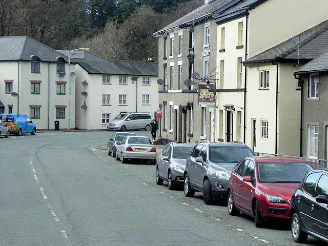
Green, Upper, Montgomeryshire is a small village located in the county of Powys, Wales. Situated in the picturesque region of Montgomeryshire, it is nestled amidst rolling hills and lush green landscapes, providing a serene and idyllic setting for its residents.

The village is characterized by its close-knit community and tranquil atmosphere, offering a peaceful escape from the hustle and bustle of city life. With a population of around 200 residents, it fosters a strong sense of community spirit and neighborly camaraderie.

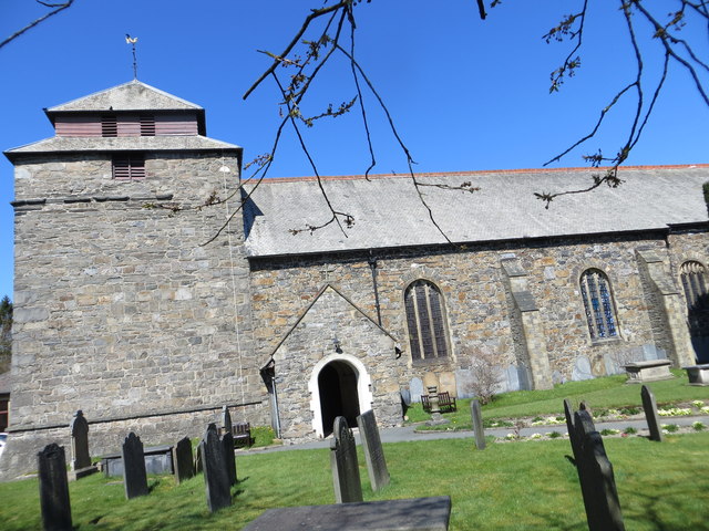
Green, Upper boasts a rich history, with evidence of human settlement dating back to the medieval period. The village is home to several historic landmarks, including a 12th-century church, which serves as a reminder of its storied past.

Despite its small size, Green, Upper offers a range of amenities to cater to the needs of its residents. These include a local convenience store, a village hall, and a primary school, ensuring that essential services are easily accessible to the community.

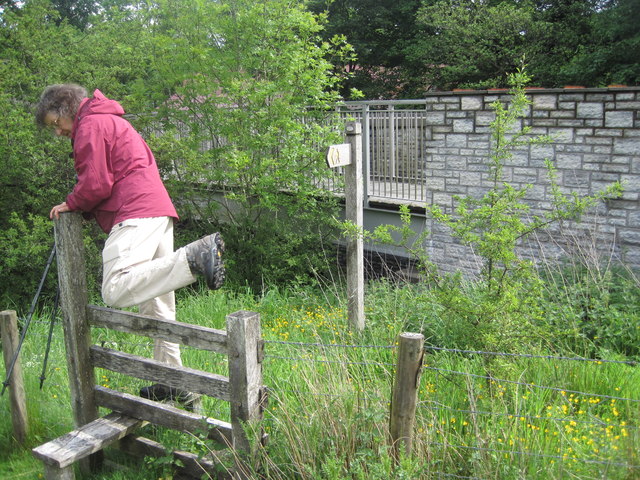
The surrounding countryside provides ample opportunities for outdoor activities such as hiking, cycling, and exploring the breathtaking natural beauty of Montgomeryshire. The village is also within close proximity to larger towns and cities, with Montgomery and Welshpool just a short drive away, offering additional amenities and transport links.

Overall, Green, Upper, Montgomeryshire is a charming and tranquil village that offers a close-knit community, a rich history, and access to stunning natural landscapes, making it an ideal place to live for those seeking a peaceful and picturesque lifestyle.

If you have any feedback on the listing, please let us know in the comments section below.
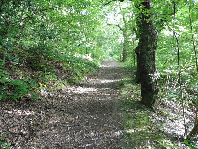
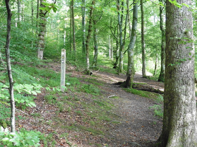
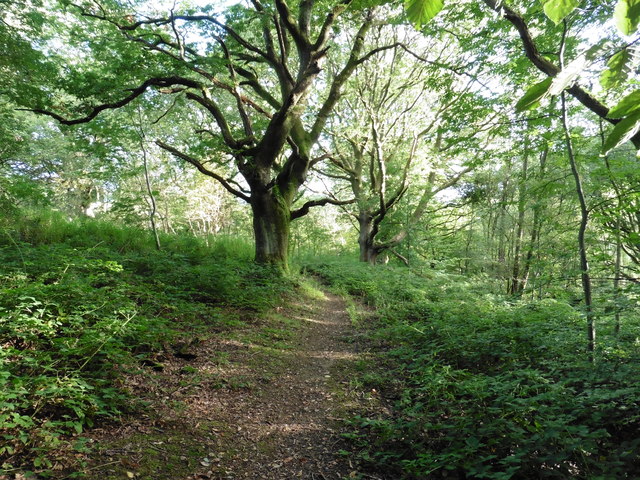
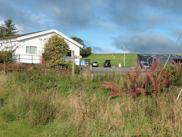
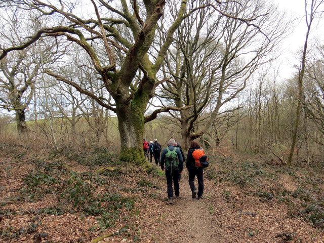
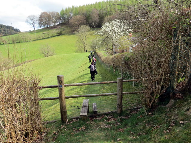
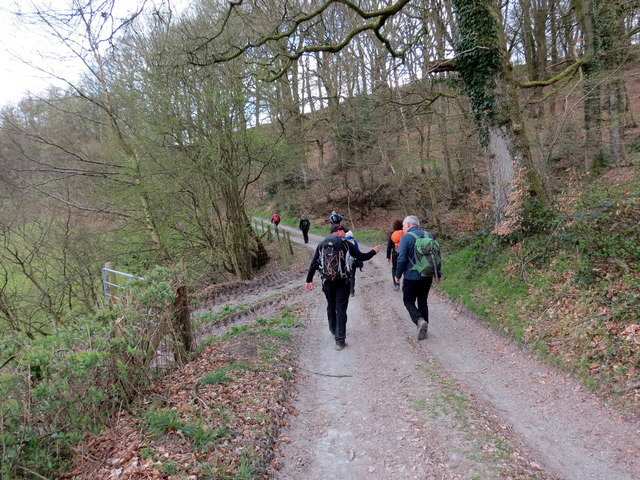
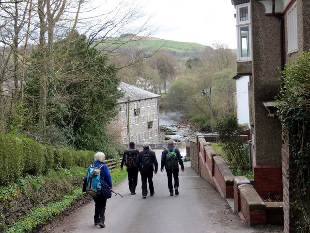
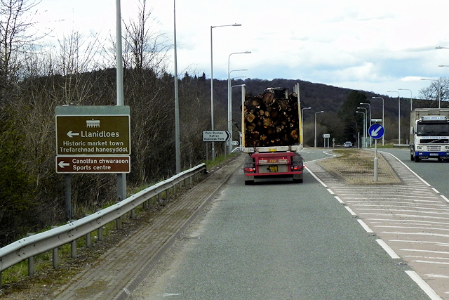
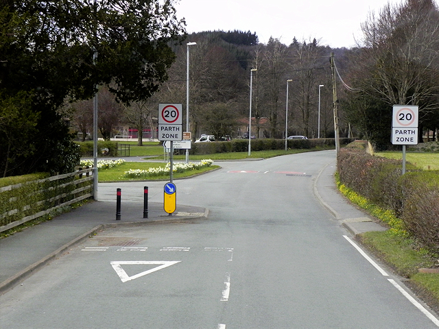
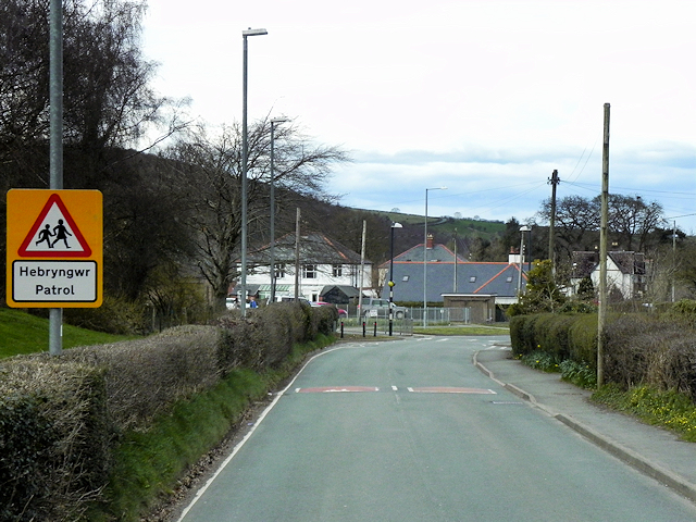
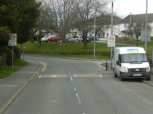
Green, Upper Images

Images are sourced within 2km of 52.446115/-3.54239 or Grid Reference SN9584. Thanks to Geograph Open Source API. All images are credited.

Glyndwr's Way near Llanidloes
Glyndwr's Way near Llanidloes One of several route alterations North of Llanidloes
Glyndwr's Way near Llanidloes
One of several route alterations North of Llanidloes
Glyndwr's Way near Llanidloes
Glyndwr's Way by St Idloes golf club
Ordnance Survey Flush Bracket S0731 This can be found on the wall of St Idloes Church in Llanidloes.
For more detail see : <span class="nowrap"><a title="http://www.bench-marks.org.uk/bm12516" rel="nofollow ugc noopener" href="http://www.bench-marks.org.uk/bm12516">Link</a><img style="margin-left:2px;" alt="External link" title="External link - shift click to open in new window" src="https://s1.geograph.org.uk/img/external.png" width="10" height="10"/></span>
Ordnance Survey Flush Bracket S0731
This can be found on the wall of St Idloes Church in Llanidloes. For more detail see : LinkExternal link
The Church of St Idloes in Llanidloes Viewed from the south.
The Church of St Idloes in Llanidloes
Viewed from the south.
Footpath sign and stile, Afon Dulas Just north of Cwmbelan at Pentre, on the outskirts of Llanidloes. The path follows the river bank to a gauging station.
Footpath sign and stile, Afon Dulas
Just north of Cwmbelan at Pentre, on the outskirts of Llanidloes. The path follows the river bank to a gauging station.
Afon Dulas, Cwmbelan Near the gauging station the path leaves the river bank.
Afon Dulas, Cwmbelan
Near the gauging station the path leaves the river bank.
Allt Goch Cerddwyr yn dilyn Llwybr Glynhir drwy goedwig Allt Goch.

Walkers following the Glyndwr Way through woods known as Allt Goch (trans red hill).
Allt Goch
Cerddwyr yn dilyn Llwybr Glynhir drwy goedwig Allt Goch. Walkers following the Glyndwr Way through woods known as Allt Goch (trans red hill).
Sticil Cwmeryr Bach / Cwmeryr Bach Stile Sticil wrth ymyl anhedd-dy o'r enw Cwmeryr Bach.

A stile at Cwmeryr Bach (trans. eagle valley)
Sticil Cwmeryr Bach / Cwmeryr Bach Stile
Sticil wrth ymyl anhedd-dy o'r enw Cwmeryr Bach. A stile at Cwmeryr Bach (trans. eagle valley)
Tuag at Lanidloes / Towards Llanidloes Cerddwyr yn dilyn heol ddiwyneb tuag at Lanidloes.

Walkers following an unsurfaced road towards Llanidloes (trans. church of Idloes).
Tuag at Lanidloes / Towards Llanidloes
Cerddwyr yn dilyn heol ddiwyneb tuag at Lanidloes. Walkers following an unsurfaced road towards Llanidloes (trans. church of Idloes).
Cyrraedd Llanidloes / Arriving at Llanidloes Cerddwyr yn cyrraedd Llanidloes.

Walkers arriving at Llanidloes (trans. church of Idloes).
Cyrraedd Llanidloes / Arriving at Llanidloes
Cerddwyr yn cyrraedd Llanidloes. Walkers arriving at Llanidloes (trans. church of Idloes).
A470 at Llanidloes Llandiloes is situated along the A470 and B4518 roads in Powys, within the historic county boundaries of Montgomeryshire. The town’s official website <span class="nowrap"><a title="http://www.llanidloes.com/" rel="nofollow ugc noopener" href="http://www.llanidloes.com/">Link</a><img style="margin-left:2px;" alt="External link" title="External link - shift click to open in new window" src="https://s1.geograph.org.uk/img/external.png" width="10" height="10"/></span>  describes it as “a small town at the heart of Wales, nestling amidst the eastern slopes of the Cambrian Mountains, Llanidloes is at the heart of the ancient medieval kingdom of Arwystli and is one of the great little market towns of Mid Wales, UK and the first town on the River Severn.” The population recorded at the 2011 census was 2,929, of whom 15% were Welsh-speakers. Llanidloes takes its name from the early seventh century Celtic Saint Idloes (Llan-Idloes = the Church of St Idloes), after whom its parish church is named. It received a market charter from the King in 1270.  The present-day street plan follows much of the 13th century grid layout.
A470 at Llanidloes
Llandiloes is situated along the A470 and B4518 roads in Powys, within the historic county boundaries of Montgomeryshire. The town’s official website LinkExternal link describes it as “a small town at the heart of Wales, nestling amidst the eastern slopes of the Cambrian Mountains, Llanidloes is at the heart of the ancient medieval kingdom of Arwystli and is one of the great little market towns of Mid Wales, UK and the first town on the River Severn.” The population recorded at the 2011 census was 2,929, of whom 15% were Welsh-speakers. Llanidloes takes its name from the early seventh century Celtic Saint Idloes (Llan-Idloes = the Church of St Idloes), after whom its parish church is named. It received a market charter from the King in 1270. The present-day street plan follows much of the 13th century grid layout.
Llanidloes, Traffic Calming near the High School Traffic calming measures on Llangurig Road (B4518) near to Llanidloes High School.
Llanidloes, Traffic Calming near the High School
Traffic calming measures on Llangurig Road (B4518) near to Llanidloes High School.
Llanidloes, Llangurig Road Llandiloes is situated along the A470 and B4518 roads in Powys, within the historic county boundaries of Montgomeryshire. The town’s official website <span class="nowrap"><a title="http://www.llanidloes.com/" rel="nofollow ugc noopener" href="http://www.llanidloes.com/">Link</a><img style="margin-left:2px;" alt="External link" title="External link - shift click to open in new window" src="https://s1.geograph.org.uk/img/external.png" width="10" height="10"/></span>  describes it as “a small town at the heart of Wales, nestling amidst the eastern slopes of the Cambrian Mountains, Llanidloes is at the heart of the ancient medieval kingdom of Arwystli and is one of the great little market towns of Mid Wales, UK and the first town on the River Severn.” The population recorded at the 2011 census was 2,929, of whom 15% were Welsh-speakers. Llanidloes takes its name from the early seventh century Celtic Saint Idloes (Llan-Idloes = the Church of St Idloes), after whom its parish church is named. It received a market charter from the King in 1270.  The present-day street plan follows much of the 13th century grid layout.
Llanidloes, Llangurig Road
Llandiloes is situated along the A470 and B4518 roads in Powys, within the historic county boundaries of Montgomeryshire. The town’s official website LinkExternal link describes it as “a small town at the heart of Wales, nestling amidst the eastern slopes of the Cambrian Mountains, Llanidloes is at the heart of the ancient medieval kingdom of Arwystli and is one of the great little market towns of Mid Wales, UK and the first town on the River Severn.” The population recorded at the 2011 census was 2,929, of whom 15% were Welsh-speakers. Llanidloes takes its name from the early seventh century Celtic Saint Idloes (Llan-Idloes = the Church of St Idloes), after whom its parish church is named. It received a market charter from the King in 1270. The present-day street plan follows much of the 13th century grid layout.
Llangurig Road (B4518) Llandiloes is situated along the A470 and B4518 roads in Powys, within the historic county boundaries of Montgomeryshire. The town’s official website <span class="nowrap"><a title="http://www.llanidloes.com/" rel="nofollow ugc noopener" href="http://www.llanidloes.com/">Link</a><img style="margin-left:2px;" alt="External link" title="External link - shift click to open in new window" src="https://s1.geograph.org.uk/img/external.png" width="10" height="10"/></span>  describes it as “a small town at the heart of Wales, nestling amidst the eastern slopes of the Cambrian Mountains, Llanidloes is at the heart of the ancient medieval kingdom of Arwystli and is one of the great little market towns of Mid Wales, UK and the first town on the River Severn.” The population recorded at the 2011 census was 2,929, of whom 15% were Welsh-speakers. Llanidloes takes its name from the early seventh century Celtic Saint Idloes (Llan-Idloes = the Church of St Idloes), after whom its parish church is named. It received a market charter from the King in 1270.  The present-day street plan follows much of the 13th century grid layout.
Llangurig Road (B4518)
Llandiloes is situated along the A470 and B4518 roads in Powys, within the historic county boundaries of Montgomeryshire. The town’s official website LinkExternal link describes it as “a small town at the heart of Wales, nestling amidst the eastern slopes of the Cambrian Mountains, Llanidloes is at the heart of the ancient medieval kingdom of Arwystli and is one of the great little market towns of Mid Wales, UK and the first town on the River Severn.” The population recorded at the 2011 census was 2,929, of whom 15% were Welsh-speakers. Llanidloes takes its name from the early seventh century Celtic Saint Idloes (Llan-Idloes = the Church of St Idloes), after whom its parish church is named. It received a market charter from the King in 1270. The present-day street plan follows much of the 13th century grid layout.
Llanidloes, Smithfield Street During the 17th and 18th centuries, weaving and flannel production developed in the town largely as a cottage industry and the local products were sent to market in Shrewsbury. Towards the end of the eighteenth century, Llanidloes was the largest producer in Montgomeryshire. Some of the three storey houses with brick facades of this period would have housed weaving lofts on the upper storey.
Llanidloes, Smithfield Street
During the 17th and 18th centuries, weaving and flannel production developed in the town largely as a cottage industry and the local products were sent to market in Shrewsbury. Towards the end of the eighteenth century, Llanidloes was the largest producer in Montgomeryshire. Some of the three storey houses with brick facades of this period would have housed weaving lofts on the upper storey.
Show me another place!

Green, Upper is located at Grid Ref: SN9584 (Lat: 52.446115, Lng: -3.54239)

Unitary Authority: Powys

Police Authority: Dyfed Powys

What 3 Words

///stupidly.booklet.silently. Near Llanidloes, Powys

Related Wikis

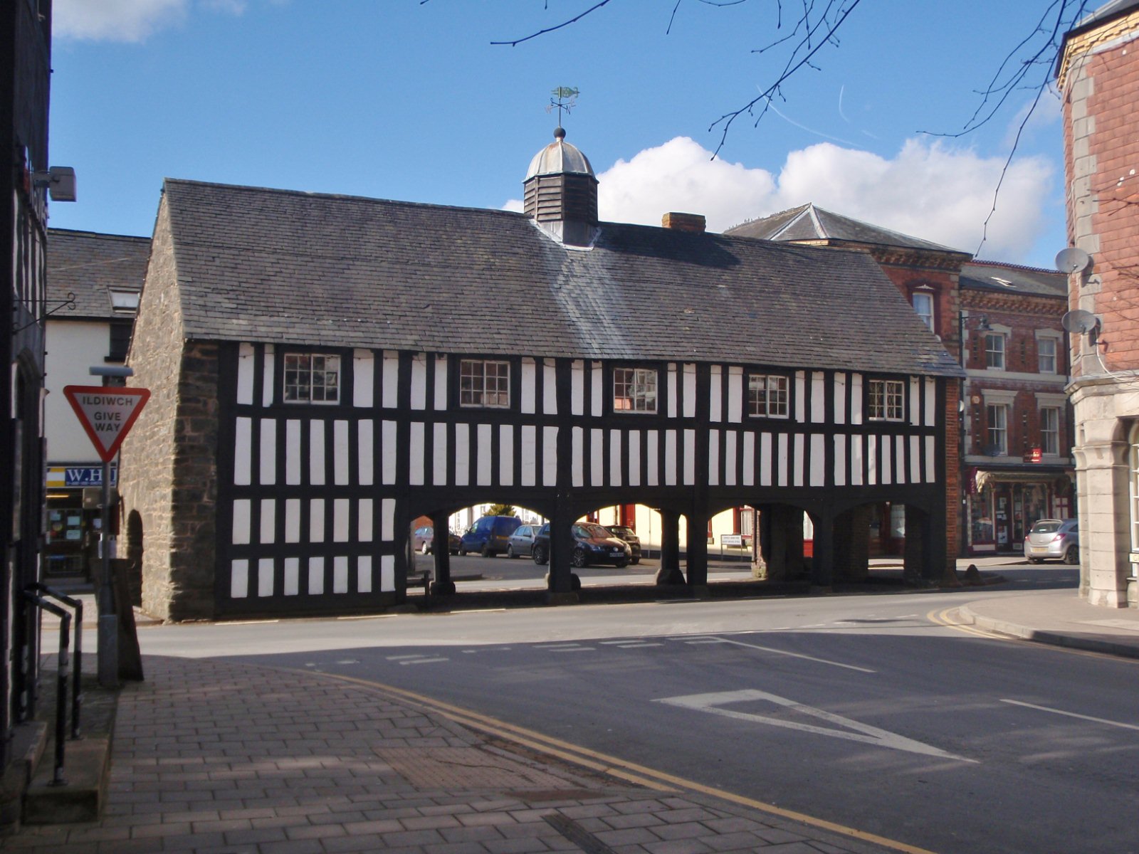
Old Market Hall, Llanidloes

The Old Market Hall is the oldest timber-framed market hall in Llanidloes, Wales, dating to the early 17th century. Until well into the 20th century a...

Llanidloes Town Hall

Llanidloes Town Hall (Welsh: Neuadd y Dref Llanidloes) is a municipal building in Great Oak Street, Llanidloes in Powys, Wales. The structure, which is...

Llanidloes

Llanidloes (Welsh pronunciation: [ɬanˈɪdlɔɨs]) is a town and community on the A470 and B4518 roads in Powys, within the historic county boundaries of Montgomeryshire...

Llanidloes transmitting station

The Llanidloes transmitting station is a broadcasting and telecommunications facility consisting of a self-supporting 23 m lattice mast erected on land...

Nearby Amenities

Located within 500m of 52.446115,-3.54239
Llanidloes
Is In: Powys
Name Cy: Llanidloes
Place: town
Source: npe
Wikidata: Q2741834
Lat/Long: 52.4482359/-3.5410891
Cafe
Travellers Rest
Lat/Long: 52.4493922/-3.5402885
Toilets
Lat/Long: 52.4481769/-3.5415562
Barrier: bollard
Lat/Long: 52.449772/-3.5416267
Give Way
Direction: forward
Lat/Long: 52.4480349/-3.5380953
Bar
The Old Mill Bar
Addr Street: High St
Lat/Long: 52.4478475/-3.5384467
Cafe
The Coffeebean
Lat/Long: 52.448478/-3.539215
Bank
NatWest
Brand: NatWest
Brand Wikidata: Q2740021
Brand Wikipedia: en:NatWest
Operator: NatWest Bank
Lat/Long: 52.4485066/-3.5401176
Atm
Check Date: 2022-07-11
Lat/Long: 52.4498765/-3.5395582
Post Box
Post Box Type: pillar
Ref: SY18 538
Royal Cypher: EIIR
Royal Cypher Wikidata: Q33102113
Lat/Long: 52.449901/-3.5396093
Llanidloes transmitter
Height: 23
Man Made: tower
Tower Construction: lattice
Tower Type: communication
Wikidata: Q6661610
Wikipedia: en:Llanidloes transmitting station
Lat/Long: 52.4470304/-3.5496174
Bus Stop
The Groe
Naptan AtcoCode: 5610AWE90201
Naptan NaptanCode: powdwpa
Public Transport: platform
Shelter: yes
Lat/Long: 52.4477652/-3.5417438
Crossing
Crossing: marked
Crossing Island: no
Lat/Long: 52.4495037/-3.5398616
Post Box
Post Box Type: lamp
Ref: SY18 549D
Royal Cypher: EIIR
Royal Cypher Wikidata: Q33102113
Lat/Long: 52.4492016/-3.5425879
Restaurant
The Raj Mahal
Addr City: Llanidloes
Addr Housenumber: 30
Addr Postcode: SY18 6BW
Addr Street: Great Oak Street
Cuisine: indian
Menu Url: https://www.chefonline.co.uk/the-raj-mahal-llanidloes-shrewsbury-sy18/menu
Opening Hours: Mo-Su 17:00-23:00
Phone: +44 1686 412432
Website: https://www.rajmahal-powys.com/
Lat/Long: 52.4482298/-3.5391719
Direction: SSW
Generator Method: photovoltaic
Generator Output Electricity: yes
Generator Solar Modules: 8
Generator Source: solar
Generator Type: solar_photovoltaic_panel
Location: roof
Power: generator
Lat/Long: 52.4436001/-3.5378438
Direction: SE
Generator Method: photovoltaic
Generator Output Electricity: yes
Generator Solar Modules: 15
Generator Source: solar
Generator Type: solar_photovoltaic_panel
Location: roof
Power: generator
Lat/Long: 52.447162/-3.5406929
Direction: 280
Generator Method: photovoltaic
Generator Output Electricity: yes
Generator Solar Modules: 8
Generator Source: solar
Generator Type: solar_photovoltaic_panel
Location: roof
Power: generator
Lat/Long: 52.4447653/-3.5406514
Direction: WNW
Generator Method: photovoltaic
Generator Output Electricity: yes
Generator Solar Modules: 8
Generator Source: solar
Generator Type: solar_photovoltaic_panel
Location: roof
Power: generator
Lat/Long: 52.442136/-3.5412971
Direction: ESE
Generator Method: photovoltaic
Generator Output Electricity: yes
Generator Solar Modules: 8
Generator Source: solar
Generator Type: solar_photovoltaic_panel
Location: roof
Power: generator
Lat/Long: 52.4421134/-3.54122
Direction: SSW
Generator Method: photovoltaic
Generator Output Electricity: yes
Generator Solar Modules: 12
Generator Source: solar
Generator Type: solar_photovoltaic_panel
Location: roof
Power: generator
Lat/Long: 52.441892/-3.5416411
Fast Food
Subway
Brand: Subway
Brand Wikidata: Q244457
Cuisine: sandwich
Takeaway: yes
Lat/Long: 52.449811/-3.5395656
Give Way
Lat/Long: 52.4461431/-3.5404819
Crossing
Lat/Long: 52.4454059/-3.5414031
Idloes Motor Spares
Shop: car_parts
Lat/Long: 52.4484423/-3.5405209
Restaurant
Evans's
Cuisine: fish_and_chips
Lat/Long: 52.4481906/-3.5406524
W H Price (Euronics)
Shop: electrical
Lat/Long: 52.4486042/-3.5404298
Welsh Computers
Addr Housenumber: 28
Addr Postcode: SY18 6AD
Addr Street: Short Bridge Street
Shop: computer
Website: www.welshcomputers.com
Lat/Long: 52.4489243/-3.5408928
Llani Bikes
Shop: bicycle
Lat/Long: 52.4489676/-3.5411195
Barrier: bollard
Bicycle: yes
Motor Vehicle: no
Lat/Long: 52.4490394/-3.5422219
Barrier: bollard
Bicycle: yes
Motor Vehicle: no
Lat/Long: 52.4488205/-3.542254
Addr Housenumber: 32
Lat/Long: 52.4476165/-3.5414534
Direction: SE
Generator Method: photovoltaic
Generator Output Electricity: yes
Generator Solar Modules: 12
Generator Source: solar
Generator Type: solar_photovoltaic_panel
Location: roof
Power: generator
Lat/Long: 52.4446076/-3.5394578
Llanidloes
Historic Railway: station
Railway: site
Wikidata: Q6661609
Wikipedia: en:Llanidloes railway station
Lat/Long: 52.4473609/-3.5357946
Cafe
The Great Oak Cafe
Addr Housenumber: 12
Addr Street: Great Oak Street
Contact Facebook: thegreatoakcafe
Cuisine: vegan;vegetarian
Phone: +44 1686 413211
Lat/Long: 52.4482938/-3.5386275
Great Oak Food
Addr Housenumber: 14
Addr Street: Great Oak Street
Shop: convenience
Lat/Long: 52.4482319/-3.5384563
Llani Bikes
Addr Housenumber: 2
Addr Street: Great Oak Street
Shop: bicycle
Website: https://www.llanibikes.co.uk/
Lat/Long: 52.4486281/-3.5399082
Defibrillator
Emergency: defibrillator
Indoor: no
Lat/Long: 52.4497985/-3.5398558
Telephone
Booth: K6
Covered: booth
Listed Status: Grade II
Operator: BT
Phone: +44 1686 412251
Lat/Long: 52.4479031/-3.5382585
Toilets
Opening Hours: Mo-Su 07:00-19:00
Operator: Llanidloes Library
Lat/Long: 52.4487442/-3.538918
Place Of Worship
Denomination: quaker
Religion: christian
Lat/Long: 52.4494455/-3.5412318
Crossing
Crossing: uncontrolled
Crossing Island: no
Crossing Markings: zebra
Crossing Ref: zebra
Tactile Paving: yes
Lat/Long: 52.4429155/-3.5434818
The data included in this document is from www.openstreetmap.org. The data is made available under ODbL.

Have you been to Green, Upper?

Leave your review of Green, Upper below (or comments, questions and feedback).