Airth
Settlement in Stirlingshire
Scotland
Airth
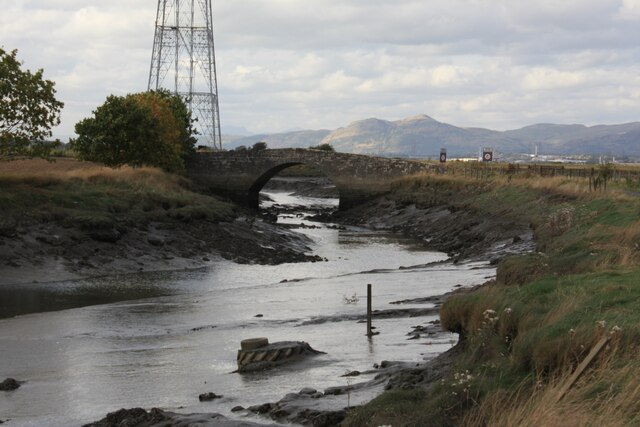
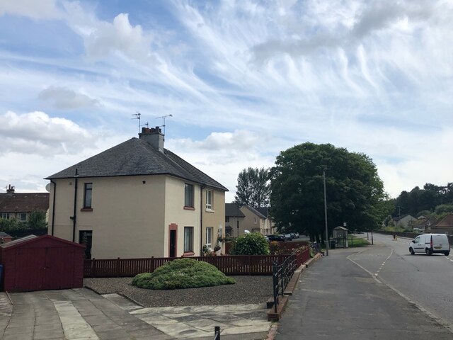
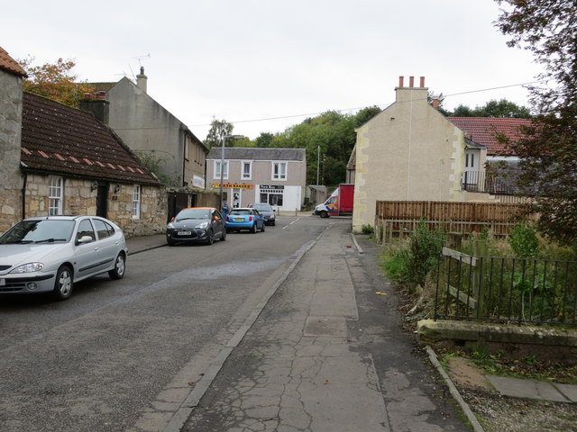
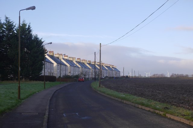
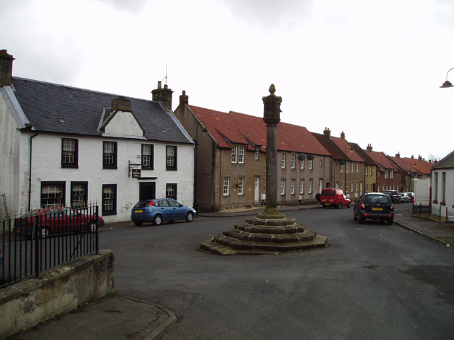
Airth is a small village located in the county of Stirlingshire, Scotland. Situated on the banks of the River Forth, it lies approximately 8 miles northeast of Falkirk and 7 miles west of Alloa. With a population of around 1,500 residents, Airth is known for its picturesque setting and historic landmarks.
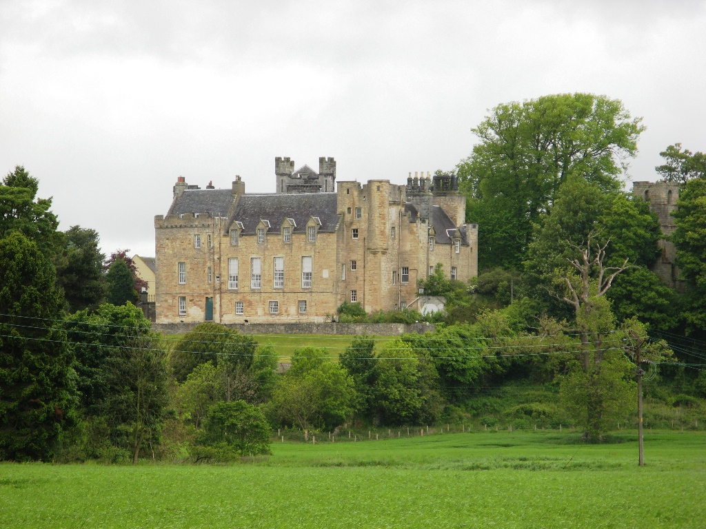
One of the notable features of Airth is Airth Castle, a stunning 14th-century fortress that has been converted into a luxury hotel. The castle, with its imposing towers and stunning gardens, attracts visitors from near and far. Another architectural gem in the village is the Airth Parish Church, a beautiful 19th-century sandstone building that adds to the village's charm.
Airth's history can be traced back to the Roman times, as it was strategically situated along the Antonine Wall, a Roman fortification which marked the northernmost frontier of the Roman Empire. Today, visitors can still explore remnants of the wall nearby, providing a glimpse into the area's ancient past.
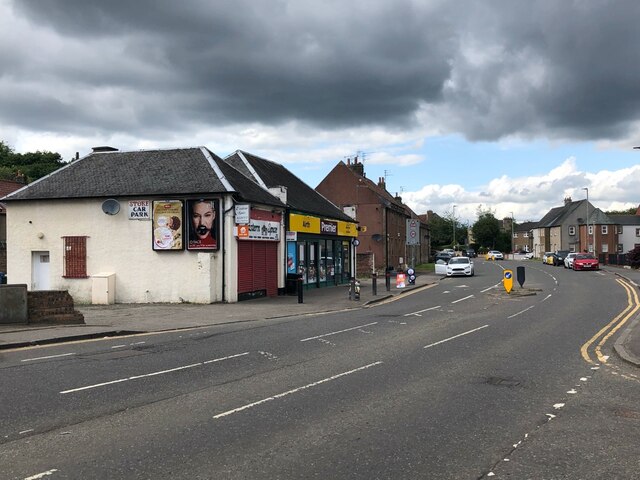
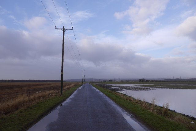
The village offers a range of amenities for its residents, including a primary school, a medical practice, and several shops and eateries. The surrounding countryside provides opportunities for outdoor activities such as walking, cycling, and fishing. The nearby Forth Valley offers stunning views and is a haven for nature lovers.
Overall, Airth is a quaint village with a rich history and a close-knit community. Its scenic beauty, historic landmarks, and access to the natural landscape make it an appealing destination for tourists and a peaceful place to call home.
If you have any feedback on the listing, please let us know in the comments section below.
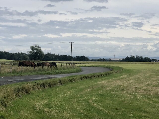
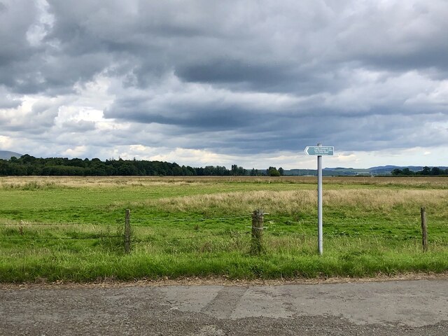
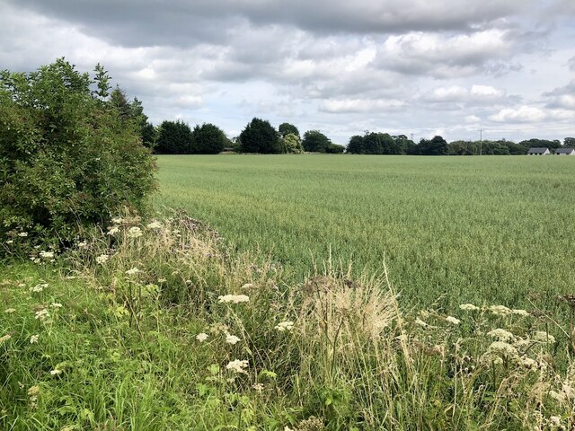
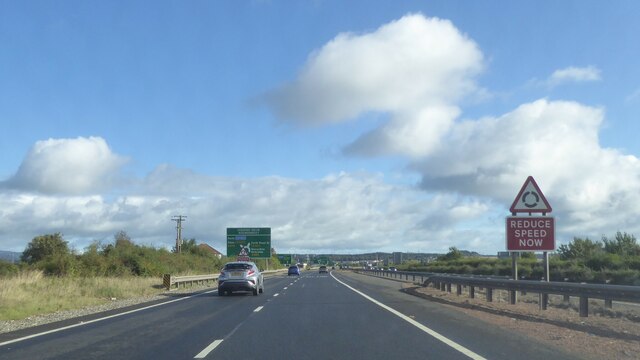
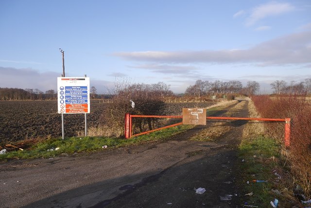
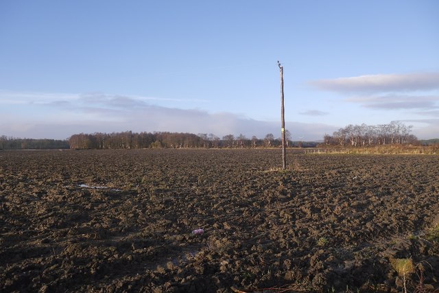
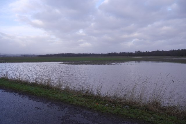
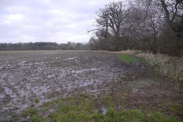
Airth Images
Images are sourced within 2km of 56.068537/-3.770206 or Grid Reference NS8987. Thanks to Geograph Open Source API. All images are credited.

Airth is located at Grid Ref: NS8987 (Lat: 56.068537, Lng: -3.770206)
Unitary Authority: Falkirk
Police Authority: Forth Valley
What 3 Words
///doghouse.classics.spoils. Near Airth, Falkirk
Nearby Locations
Related Wikis
Airth
Airth (Scottish Gaelic: An Àird) is a Royal Burgh, village, former trading port and civil parish in Falkirk, Scotland. It is 6 miles (10 kilometres) north...

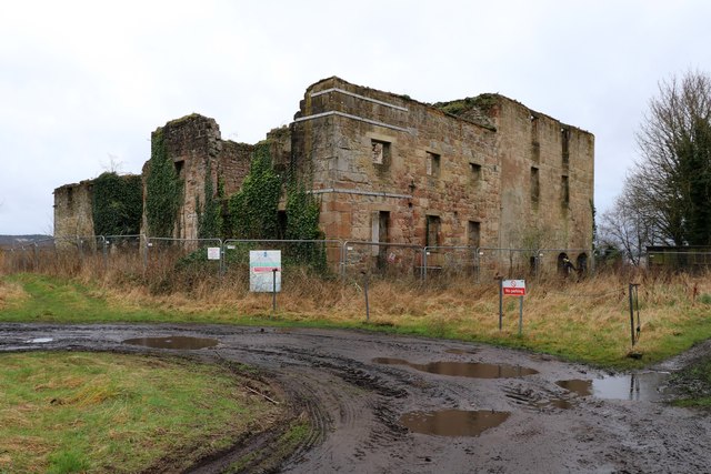
Airth Old Parish Church
Airth Old Parish Church is a ruined church in the grounds of Airth Castle at Airth, in the Falkirk council area in Scotland. The building is now without...
Airth Castle
Airth Castle is a castle overlooking the village of Airth and the River Forth, in the Falkirk area of Scotland. Until 2023, the castle operated as a hotel...

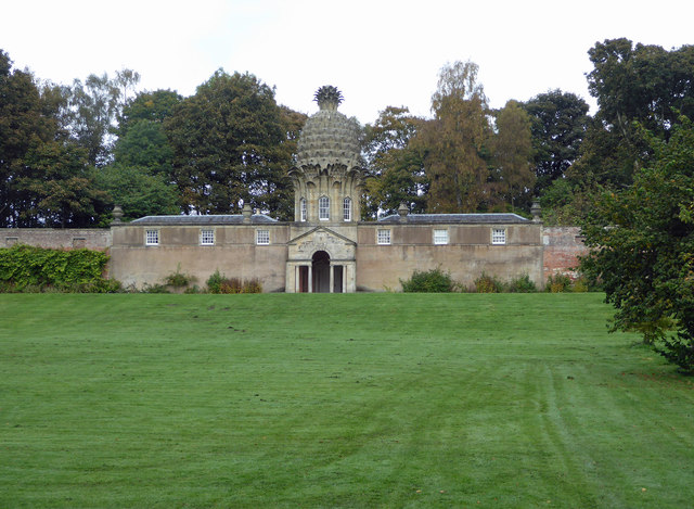
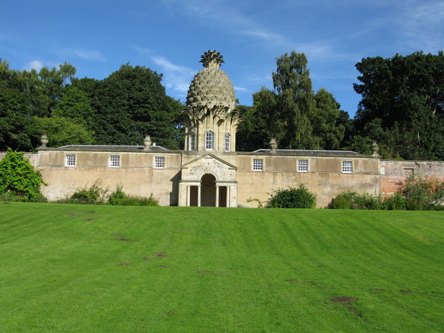
Dunmore Pineapple
The Dunmore Pineapple is a folly in Dunmore Park, near Airth in Stirlingshire, Scotland. In 1995 it was ranked "as the most bizarre building in Scotland...
Nearby Amenities
Located within 500m of 56.068537,-3.770206Have you been to Airth?
Leave your review of Airth below (or comments, questions and feedback).