Hill of Airth
Hill, Mountain in Stirlingshire
Scotland
Hill of Airth
Hill of Airth, located in Stirlingshire, Scotland, is a prominent hill that offers breathtaking views of the surrounding countryside. Rising to a height of approximately 180 meters (590 feet) above sea level, it is a popular destination for hikers and nature enthusiasts.
The hill is characterized by its gently sloping sides and is covered in lush greenery, comprising a mix of grasses, heather, and shrubs. This creates an idyllic landscape that changes colors with the seasons, offering visitors a different experience throughout the year.
At the top of Hill of Airth, there is a stone cairn that marks the summit. From this vantage point, one can enjoy panoramic vistas of the Forth Valley, the River Forth, and the nearby Ochil Hills. On clear days, it is even possible to catch a glimpse of the impressive Wallace Monument and Stirling Castle in the distance.
Apart from its natural beauty, Hill of Airth also has a fascinating history. Archaeological evidence suggests that the site has been inhabited since prehistoric times, with remnants of ancient settlements and burial grounds discovered in the area. The hill is believed to have served as a defensive stronghold during various periods of conflict, its strategic location providing a tactical advantage.
Overall, Hill of Airth is a captivating destination that combines natural splendor with historical significance. Whether one is seeking a peaceful hike or a glimpse into the past, this hill in Stirlingshire offers a memorable experience for all who visit.
If you have any feedback on the listing, please let us know in the comments section below.
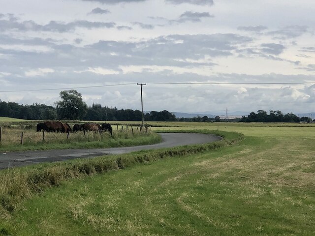
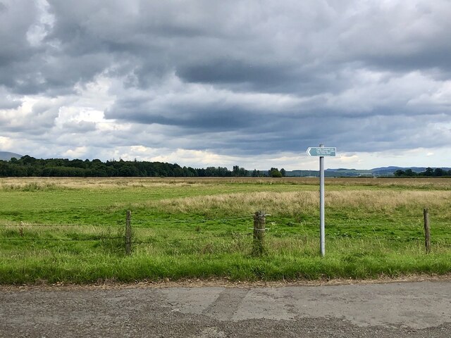
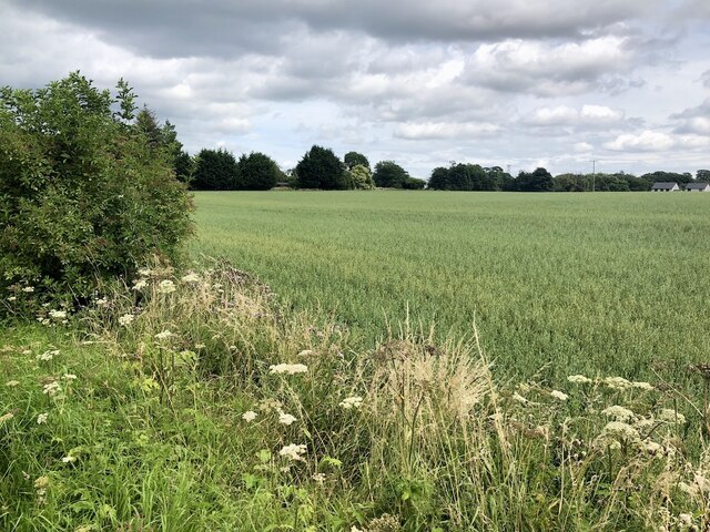
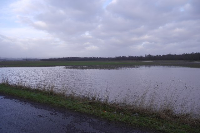
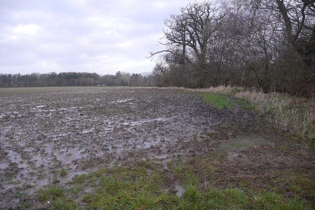
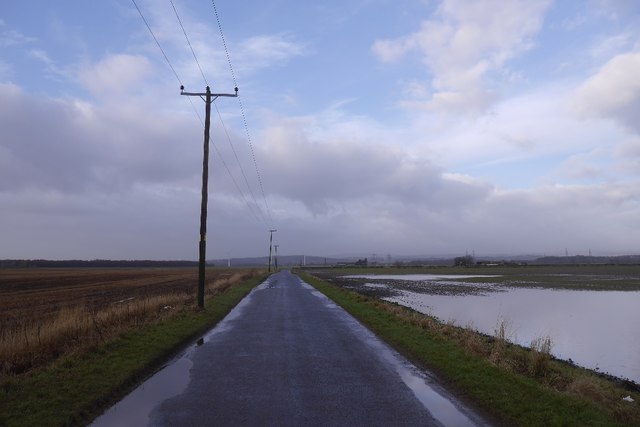
Hill of Airth Images
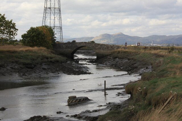
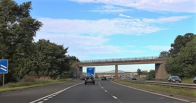
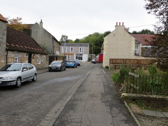
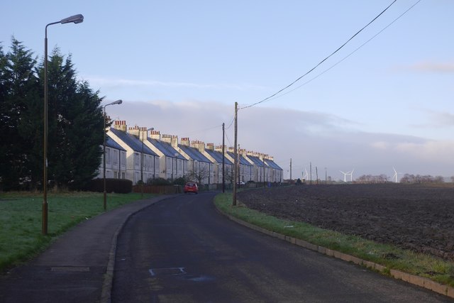
Images are sourced within 2km of 56.067656/-3.774333 or Grid Reference NS8987. Thanks to Geograph Open Source API. All images are credited.


Hill of Airth is located at Grid Ref: NS8987 (Lat: 56.067656, Lng: -3.774333)
Unitary Authority: Falkirk
Police Authority: Forth Valley
What 3 Words
///princes.charge.endlessly. Near Airth, Falkirk
Nearby Locations
Related Wikis
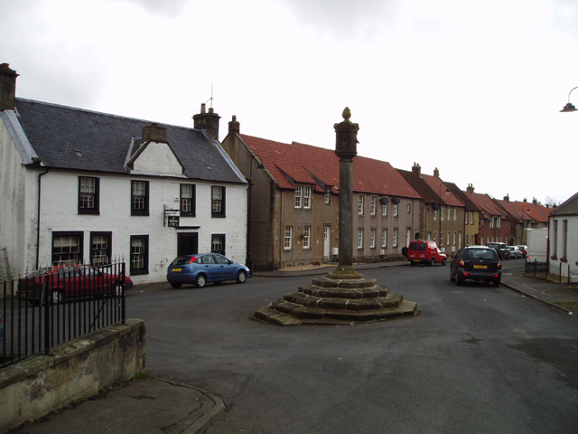
Airth
Airth (Scottish Gaelic: An Àird) is a Royal Burgh, village, former trading port and civil parish in Falkirk, Scotland. It is 6 miles (10 kilometres) north...
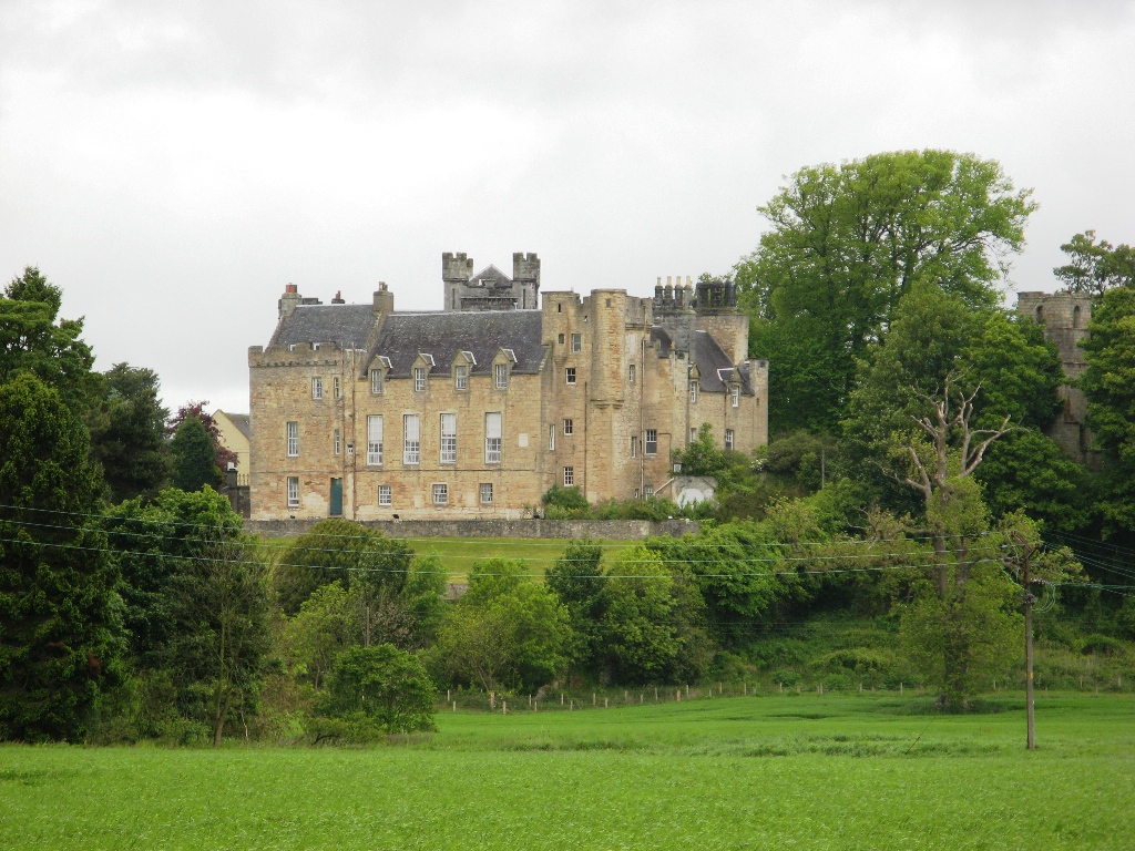
Airth Castle
Airth Castle is a castle overlooking the village of Airth and the River Forth, in the Falkirk area of Scotland. Until 2023, the castle operated as a hotel...

Airth Old Parish Church
Airth Old Parish Church is a ruined church which stands within the grounds of Airth Castle at Airth, in the Falkirk council area in Scotland. The building...

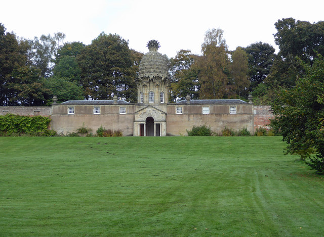
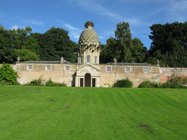
Dunmore Pineapple
The Dunmore Pineapple is a folly in Dunmore Park, near Airth in Stirlingshire, Scotland. In 1995 it was ranked "as the most bizarre building in Scotland...
Nearby Amenities
Located within 500m of 56.067656,-3.774333Have you been to Hill of Airth?
Leave your review of Hill of Airth below (or comments, questions and feedback).