Upcott

Settlement in Somerset Somerset West and Taunton

England

Upcott

Norton Fitzwarren: Bronze Age enclosure, Iron Age hill fort Standing above the churchyard, the site was excavated in 1908 and again from 1968 to 1971. Evidence suggests Mesolithic and Neolithic activity here. An early Bronze Age enclosure dates from about 2000 BC; in the Iron Age this was superseded by a new rampart and ditch, creating an enclosed area of 5.2 hectares or 13 acres. The interior is now cultivated. Taunton Deane Borough Council has created a nature trail around the perimeter.
Norton Fitzwarren: Bronze Age enclosure, Iron Age hill fort Credit: Martin Bodman

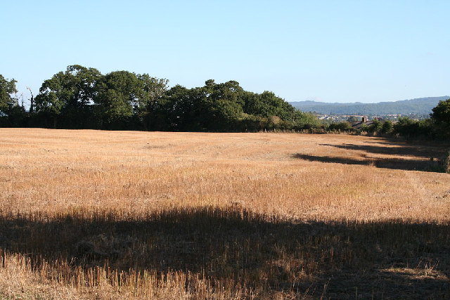
Upcott is a small village located in the county of Somerset, England. Situated approximately 6 miles southwest of the town of Taunton, it is nestled in a picturesque rural setting surrounded by rolling hills and lush green fields. The village is part of the civil parish of Milverton and is also close to the Quantock Hills Area of Outstanding Natural Beauty.

With a population of around 200 residents, Upcott exudes a quaint and peaceful atmosphere. The village is characterized by its charming traditional cottages and houses, many of which date back to the 18th and 19th centuries. These buildings are made from local stone and create a sense of historical significance and architectural beauty within the village.

Despite its small size, Upcott boasts a strong sense of community spirit. The village has a local pub, The Red Lion, which serves as a gathering place for residents and visitors alike. There is also a village hall that hosts various events and activities throughout the year, fostering a sense of togetherness.

Upcott is surrounded by stunning natural landscapes, making it an ideal destination for outdoor enthusiasts. The nearby Quantock Hills provide ample opportunities for hiking, cycling, and horseback riding, allowing residents and visitors to explore the beauty of the countryside.

Overall, Upcott offers a tranquil and idyllic living environment, making it a desirable place for those seeking a peaceful rural retreat in the heart of Somerset.

If you have any feedback on the listing, please let us know in the comments section below.
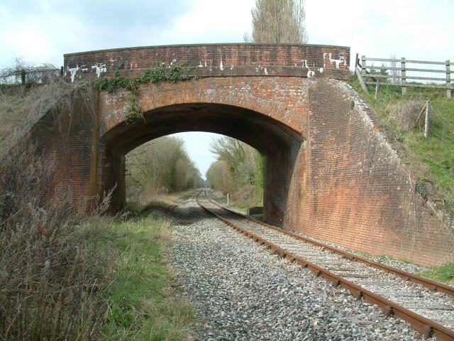
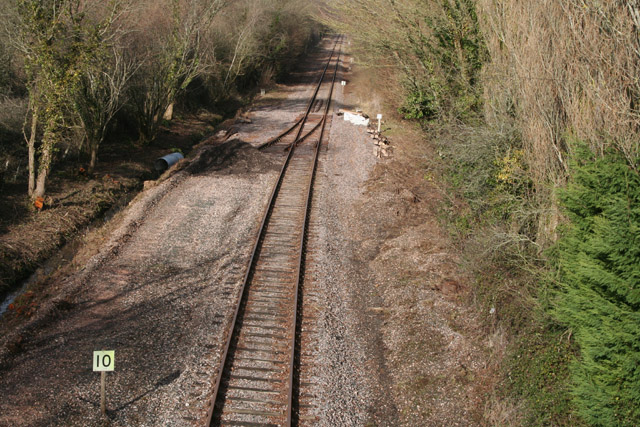
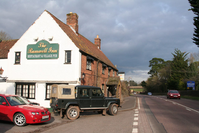
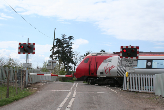
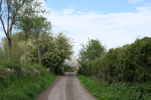
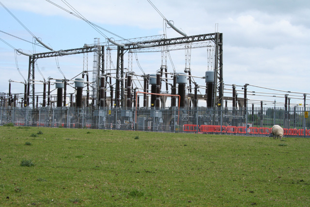
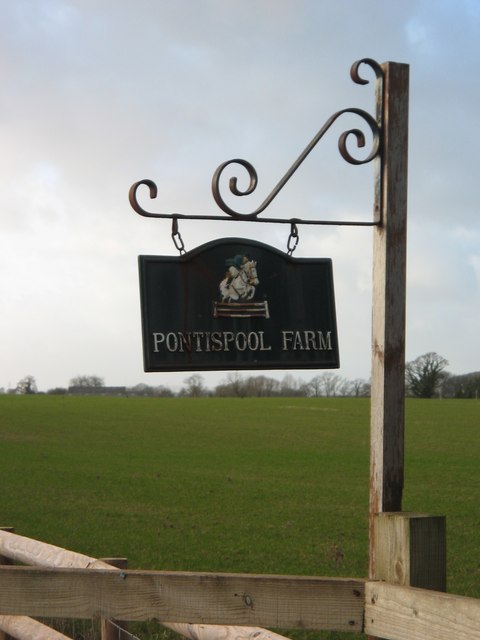
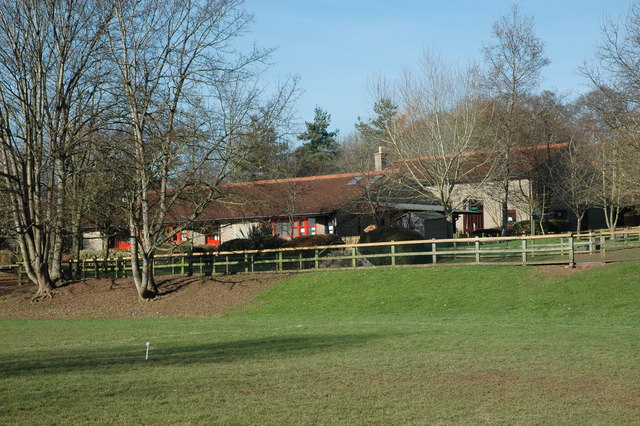
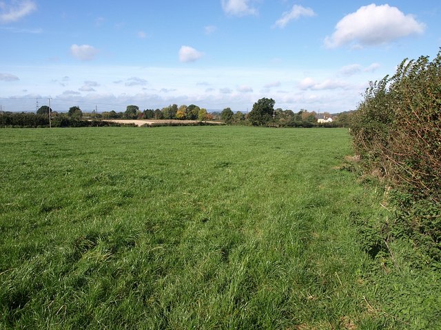
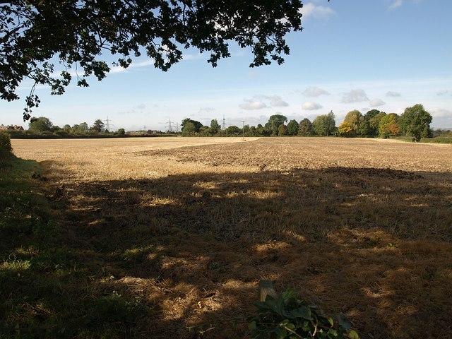
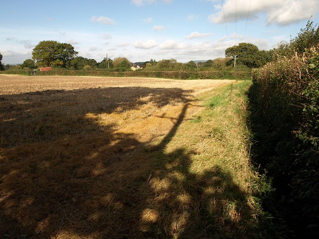
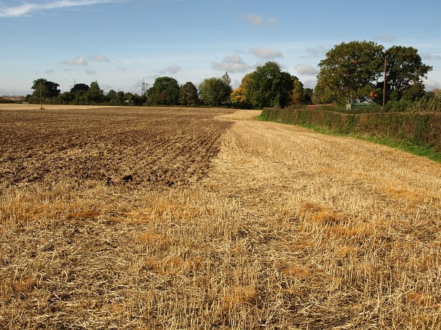
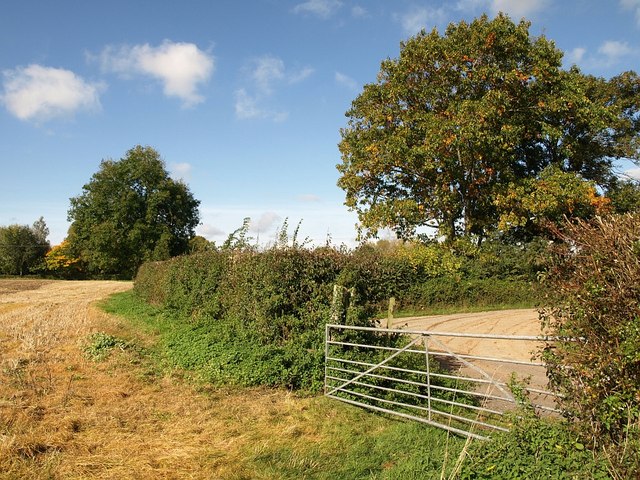
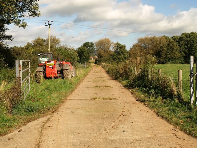
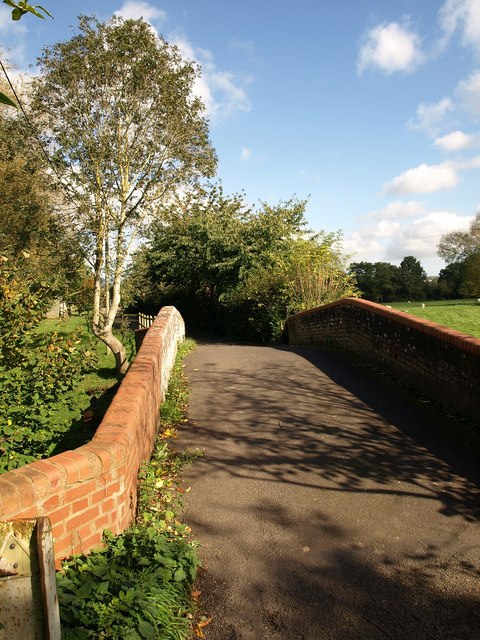
Upcott Images

Images are sourced within 2km of 51.01589/-3.147302 or Grid Reference ST1924. Thanks to Geograph Open Source API. All images are credited.

Norton Fitzwarren: Bronze Age enclosure, Iron Age hill fort Standing above the churchyard, the site was excavated in 1908 and again from 1968 to 1971. Evidence suggests Mesolithic and Neolithic activity here. An early Bronze Age enclosure dates from about 2000 BC; in the Iron Age this was superseded by a new rampart and ditch, creating an enclosed area of 5.2 hectares or 13 acres. The interior is now cultivated. Taunton Deane Borough Council has created a nature trail around the perimeter.
Norton Fitzwarren: Bronze Age enclosure, Iron Age hill fort
Standing above the churchyard, the site was excavated in 1908 and again from 1968 to 1971. Evidence suggests Mesolithic and Neolithic activity here. An early Bronze Age enclosure dates from about 2000 BC; in the Iron Age this was superseded by a new rampart and ditch, creating an enclosed area of 5.2 hectares or 13 acres. The interior is now cultivated. Taunton Deane Borough Council has created a nature trail around the perimeter.
Norton Bridge The West Somerset Railway heads for Minehead some 22 miles away...
Norton Bridge
The West Somerset Railway heads for Minehead some 22 miles away...
Norton Fitzwarren: West Somerset Railway Allerford Junction. A new point or switch has recently been laid in at an early stage in a long-term plan to provide a turning triangle for locomotives and for trains visiting the railway from other parts of the network. Seen from Norton Bridge
Norton Fitzwarren: West Somerset Railway
Allerford Junction. A new point or switch has recently been laid in at an early stage in a long-term plan to provide a turning triangle for locomotives and for trains visiting the railway from other parts of the network. Seen from Norton Bridge
Rumwell, near Taunton: The Rumwell Inn On the A38 Trunk Road, between Taunton and Wellington. Looking north east
Rumwell, near Taunton: The Rumwell Inn
On the A38 Trunk Road, between Taunton and Wellington. Looking north east
Bradford-on-Tone: Rumwell Farm Shop By the A38 between Taunton and Wellington. Looking north-north-west
Bradford-on-Tone: Rumwell Farm Shop
By the A38 between Taunton and Wellington. Looking north-north-west
Oake: Victory Crossing The Taunton – Exeter railway crosses the minor road from Hele Manor to Hillfarrance here. A Virgin train disappears towards Taunton, to the right. Looking west-north-west. Nearby, behind the camera, stands the Victory Inn
Oake: Victory Crossing
The Taunton – Exeter railway crosses the minor road from Hele Manor to Hillfarrance here. A Virgin train disappears towards Taunton, to the right. Looking west-north-west. Nearby, behind the camera, stands the Victory Inn
Bishop’s Hull: lane to Longaller The lane crosses the river Tone on the bridge ahead. Beyond, a leat from the Tone once powered Longaller Mill which still stands with much of its machinery and waterwheel intact, although it now serves other purposes. The lane, though not for public use by vehicles, is open as a footpath to Norton Fitzwarren. Looking north
Bishop’s Hull: lane to Longaller
The lane crosses the river Tone on the bridge ahead. Beyond, a leat from the Tone once powered Longaller Mill which still stands with much of its machinery and waterwheel intact, although it now serves other purposes. The lane, though not for public use by vehicles, is open as a footpath to Norton Fitzwarren. Looking north
Bishop’s Hull: Taunton electricity sub-station Looking south east over a part of the complex near Upcott. The landscape nearby is dominated by overhead power lines
Bishop’s Hull: Taunton electricity sub-station
Looking south east over a part of the complex near Upcott. The landscape nearby is dominated by overhead power lines
Entrance to Pontispool Farm, Somerset
Norton Fitzwarren COE School Norton Fitzwarren school is a small school set in good grounds with associated playing fields. It has outdoor experiences for the children including  a 'Forest School' and ecology area.
Norton Fitzwarren COE School
Norton Fitzwarren school is a small school set in good grounds with associated playing fields. It has outdoor experiences for the children including a 'Forest School' and ecology area.
Field by Frethey Road This long, roughly rectangular field is bounded on two sides by Frethey Road, and a footpath crosses it diagonally from the camera position to cross the field boundary beside the largest tree.
Field by Frethey Road
This long, roughly rectangular field is bounded on two sides by Frethey Road, and a footpath crosses it diagonally from the camera position to cross the field boundary beside the largest tree.
Stile and bridge near Upcott The path described in <a href="https://www.geograph.org.uk/photo/1000404">ST1924 : Field by Frethey Road</a> reaches the field boundary and a ditch, crossed by the footbridge.
Stile and bridge near Upcott
The path described in ST1924 : Field by Frethey Road reaches the field boundary and a ditch, crossed by the footbridge.
Field north of Upcott A harvested field crossed by the footpath from Frethey Road, and seen from just beyond the bridge shown in <a href="https://www.geograph.org.uk/photo/1000708">ST1924 : Stile and bridge near Upcott</a>.
Field north of Upcott
A harvested field crossed by the footpath from Frethey Road, and seen from just beyond the bridge shown in ST1924 : Stile and bridge near Upcott.
Field north of Upcott Another view across the field shown in <a href="https://www.geograph.org.uk/photo/1000719">ST1924 : Field north of Upcott</a>. The footpath leaves the field to rejoin Frethey Road by a gate on the left (beside the tractor and red trailer) and currently runs around the perimeter to reach it. The shadows are cast by the trees and telegraph pole on the left of <a href="https://www.geograph.org.uk/photo/1000708">ST1924 : Stile and bridge near Upcott</a>.
Field north of Upcott
Another view across the field shown in ST1924 : Field north of Upcott. The footpath leaves the field to rejoin Frethey Road by a gate on the left (beside the tractor and red trailer) and currently runs around the perimeter to reach it. The shadows are cast by the trees and telegraph pole on the left of ST1924 : Stile and bridge near Upcott.
Field north of Upcott Taken from near the right-hand corner of the field shown in <a href="https://www.geograph.org.uk/photo/1000738">ST1924 : Field north of Upcott</a>. Footpath T 3/17 leaves by a gate near the trees on the right.
Field north of Upcott
Taken from near the right-hand corner of the field shown in ST1924 : Field north of Upcott. Footpath T 3/17 leaves by a gate near the trees on the right.
Gate onto Frethey Road The gate by which footpath T 3/17 leaves <a href="https://www.geograph.org.uk/photo/1000738">ST1924 : Field north of Upcott</a>. What appears to be the lane turning right in front of the tree is in fact a well-made field access track, busy today with tractors and trailers harvesting maize across the River Tone.
Gate onto Frethey Road
The gate by which footpath T 3/17 leaves ST1924 : Field north of Upcott. What appears to be the lane turning right in front of the tree is in fact a well-made field access track, busy today with tractors and trailers harvesting maize across the River Tone.
Farm road, Longaller The field access road mentioned in <a href="https://www.geograph.org.uk/photo/1000778">ST1925 : Gate onto Frethey Road</a>, seen from its junction with Frethey Road. The line of trees indicates the course of the River Tone, crossed by the road. That's a plane in the sky above the Manitou's right wheel.
Farm road, Longaller
The field access road mentioned in ST1925 : Gate onto Frethey Road, seen from its junction with Frethey Road. The line of trees indicates the course of the River Tone, crossed by the road. That's a plane in the sky above the Manitou's right wheel.
Longaller Bridge The bridge, over the River Tone, carries the access road to Longaller Mill, here followed by footpath T 3/14.
Longaller Bridge
The bridge, over the River Tone, carries the access road to Longaller Mill, here followed by footpath T 3/14.
Show me another place!

Upcott is located at Grid Ref: ST1924 (Lat: 51.01589, Lng: -3.147302)

Administrative County: Somerset

District: Somerset West and Taunton

Police Authority: Avon and Somerset

What 3 Words

///change.ramp.mats. Near Taunton, Somerset

Nearby Locations

Upcott

Related Wikis

Bishop's Hull

Bishop's Hull is a village and civil parish in Somerset, England, in the western suburbs of Taunton. It includes the areas of Rumwell, Rumwell Park, Roughmoor...

1940 Norton Fitzwarren rail crash

The Norton Fitzwarren rail crash occurred on 4 November 1940 between Taunton and Norton Fitzwarren in the English county of Somerset, when the driver of...

Norton Fitzwarren

Norton Fitzwarren is a village, electoral ward, and civil parish in Somerset, England, situated 2 miles (3.2 km) north west of Taunton. The village has...

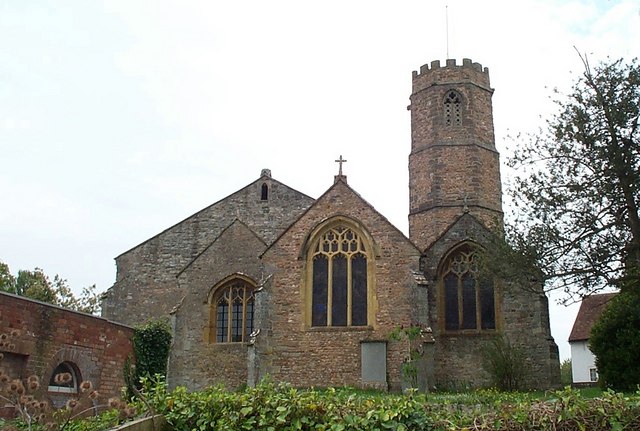
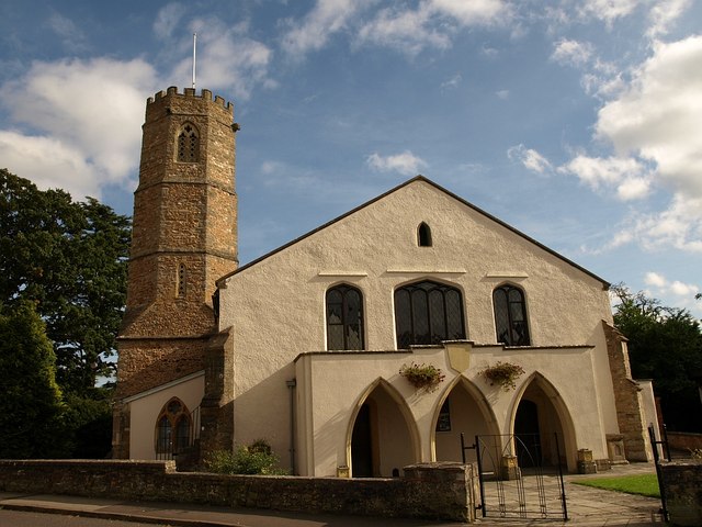
Church of St Peter and St Paul, Bishop's Hull

The Church of St Peter and St Paul in Bishop's Hull, Somerset, England was built in the 13th century. It is a Grade II* listed building. == History... ==

Nearby Amenities

Located within 500m of 51.01589,-3.147302
Power: tower
Source Ref: bing
Lat/Long: 51.0173917/-3.1534414
Bus Stop
Farrant Close (W-bound)
Bench: no
Bus: yes
Naptan AtcoCode: 3600SOC30959
Naptan Bearing: W
Naptan CommonName: Farrant Close
Naptan Indicator: W-bound
Naptan NaptanCode: sotagpwg
Naptan PlusbusZoneRef: TAUNTON
Naptan Street: Upcott Road
Naptan Verified: no
Network: Taunton
Network Wikidata: Q845619
Operator: Somerset County Council
Operator Wikidata: Q6386270
Public Transport: platform
Ref: 3
Shelter: yes
Lat/Long: 51.0157296/-3.1402602
Brand: National Grid
Brand Wikidata: Q1465461
Line Attachment: pin
Material: wood
Operator: National Grid Electricity Distribution Plc
Operator Old: Western Power Distribution
Operator Wikidata: Q7988183
Owner: National Grid Electricity Distribution (South West) Plc
Owner Wikidata: Q114397866
Power: pole
Lat/Long: 51.0123072/-3.1504007
Brand: National Grid
Brand Wikidata: Q1465461
Guyed: yes
Line Attachment: pin
Material: wood
Operator: National Grid Electricity Distribution Plc
Operator Old: Western Power Distribution
Operator Wikidata: Q7988183
Owner: National Grid Electricity Distribution (South West) Plc
Owner Wikidata: Q114397866
Power: pole
Lat/Long: 51.0133907/-3.1507493
Brand: National Grid
Brand Wikidata: Q1465461
Line Attachment: pin
Material: wood
Operator: National Grid Electricity Distribution Plc
Operator Old: Western Power Distribution
Operator Wikidata: Q7988183
Owner: National Grid Electricity Distribution (South West) Plc
Owner Wikidata: Q114397866
Power: pole
Lat/Long: 51.0142592/-3.1511598
Power: pole
Lat/Long: 51.0143721/-3.1523445
Brand: National Grid
Brand Wikidata: Q1465461
Design: h-frame
Line Attachment: pin
Material: wood
Operator: National Grid Electricity Distribution Plc
Operator Old: Western Power Distribution
Operator Wikidata: Q7988183
Owner: National Grid Electricity Distribution (South West) Plc
Owner Wikidata: Q114397866
Power: pole
Lat/Long: 51.0151106/-3.1515479
Power: pole
Lat/Long: 51.0151692/-3.1522595
Brand: National Grid
Brand Wikidata: Q1465461
Design: h-frame
Line Attachment: anchor
Location Transition: yes
Material: wood
Operator: National Grid Electricity Distribution Plc
Operator Old: Western Power Distribution
Operator Wikidata: Q7988183
Owner: National Grid Electricity Distribution (South West) Plc
Owner Wikidata: Q114397866
Power: pole
Lat/Long: 51.0160145/-3.1521615
Give Way
Lat/Long: 51.0175589/-3.1518759
Brand: National Grid
Brand Wikidata: Q1465461
Material: wood
Operator: National Grid Electricity Distribution Plc
Operator Old: Western Power Distribution
Operator Wikidata: Q7988183
Owner: National Grid Electricity Distribution (South West) Plc
Owner Wikidata: Q114397866
Power: pole
Lat/Long: 51.0181392/-3.1522526
Brand: National Grid
Brand Wikidata: Q1465461
Material: wood
Operator: National Grid Electricity Distribution Plc
Operator Old: Western Power Distribution
Operator Wikidata: Q7988183
Owner: National Grid Electricity Distribution (South West) Plc
Owner Wikidata: Q114397866
Power: pole
Lat/Long: 51.0186886/-3.1521079
Brand: National Grid
Brand Wikidata: Q1465461
Material: wood
Operator: National Grid Electricity Distribution Plc
Operator Old: Western Power Distribution
Operator Wikidata: Q7988183
Owner: National Grid Electricity Distribution (South West) Plc
Owner Wikidata: Q114397866
Power: pole
Lat/Long: 51.0186927/-3.15225
Barrier: stile
Foot: yes
Material: wood
Stile: stepover
Lat/Long: 51.0132668/-3.1464967
Power: transformer
Voltage-high: 400000
Voltage-low: 132000
Lat/Long: 51.0173715/-3.1539291
Power: portal
Lat/Long: 51.0172294/-3.1534406
Power: portal
Lat/Long: 51.0171092/-3.1530924
Traffic Calming: bump
Lat/Long: 51.0157656/-3.1412637
Give Way
Direction: backward
Lat/Long: 51.0157602/-3.1414868
Telephone
Booth: KX300
Covered: booth
Operator: BT
Operator Wikidata: Q593786
Lat/Long: 51.0157803/-3.1402387
Post Box
Operator: Royal Mail
Operator Wikidata: Q638098
Post Box Mounting: stone_pillar
Post Box Type: wall
Ref: TA1 565
Royal Cypher: EIIR
Royal Cypher Wikidata: Q33102113
Lat/Long: 51.0157611/-3.1402528
Brand: National Grid
Brand Wikidata: Q1465461
Frequency: 50
Material: wood
Operator: National Grid Electricity Distribution Plc
Operator Old: Western Power Distribution
Operator Wikidata: Q7988183
Owner: National Grid Electricity Distribution (South West) Plc
Owner Wikidata: Q114397866
Phases: 1
Power: pole
Transformer: distribution
Lat/Long: 51.0133202/-3.1503698
Power: pole
Lat/Long: 51.0197356/-3.144051
Power: pole
Lat/Long: 51.0192821/-3.1453692
Power: pole
Lat/Long: 51.0189341/-3.146382
Power: pole
Lat/Long: 51.0184545/-3.1477718
Power: pole
Lat/Long: 51.0182122/-3.1494533
Power: pole
Lat/Long: 51.0179352/-3.1512779
Power: pole
Lat/Long: 51.0177741/-3.15242
Brand: National Grid
Brand Wikidata: Q1465461
Material: wood
Operator: National Grid Electricity Distribution Plc
Operator Old: Western Power Distribution
Operator Wikidata: Q7988183
Owner: National Grid Electricity Distribution (South West) Plc
Owner Wikidata: Q114397866
Power: pole
Lat/Long: 51.0175885/-3.1525129
Post Box
Operator: Royal Mail
Operator Wikidata: Q638098
Post Box Type: lamp
Ref: TA4 296D
Royal Cypher: EIIR
Royal Cypher Wikidata: Q33102113
Lat/Long: 51.0157667/-3.1515389
The data included in this document is from www.openstreetmap.org. The data is made available under ODbL.

Have you been to Upcott?

Leave your review of Upcott below (or comments, questions and feedback).