Upcott

Settlement in Devon Mid Devon

England

Upcott

Ordnance Survey Cut Mark This OS cut mark can be found on the north face of All Saints Church. It marks a point 171.231m above mean sea level.
Ordnance Survey Cut Mark Credit: Adrian Dust

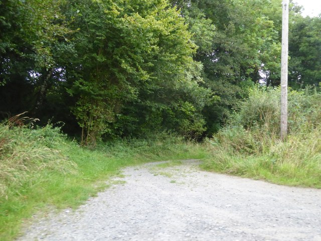
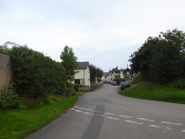
Upcott is a small village located in the county of Devon, England. Situated in the western part of the county, it lies within the district of Torridge. The village is nestled amidst the picturesque countryside and offers stunning views of the surrounding rolling hills and farmland.

Upcott is characterized by its tranquil and idyllic setting, making it an appealing destination for those seeking a peaceful retreat from the hustle and bustle of city life. The village is made up of a cluster of charming cottages and traditional buildings, which add to its quaint and rural charm.

Despite its small size, Upcott is well-connected to nearby towns and amenities. The village is situated just a short distance from the town of Holsworthy, where residents and visitors can find a range of services, including shops, schools, and medical facilities.

The surrounding area offers plenty of opportunities for outdoor activities and exploration. Nature lovers can take advantage of the numerous walking and cycling trails that wind through the nearby countryside. Additionally, the rugged coastline of North Devon, with its beautiful beaches and stunning cliffs, is within easy reach.

Overall, Upcott is a peaceful and picturesque village that offers a peaceful escape for those looking to immerse themselves in the natural beauty of Devon's countryside.

If you have any feedback on the listing, please let us know in the comments section below.
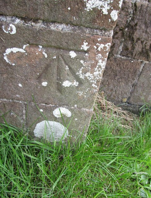
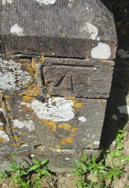
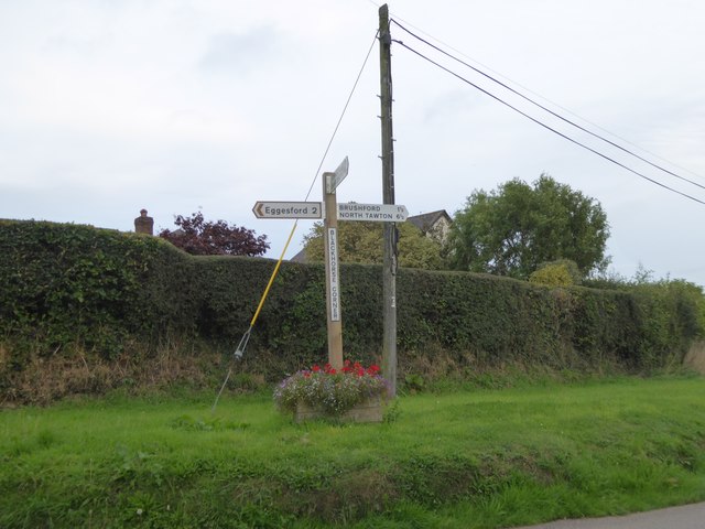
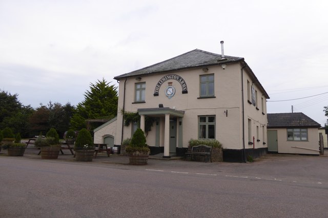
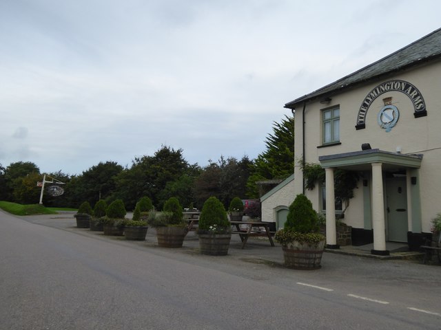
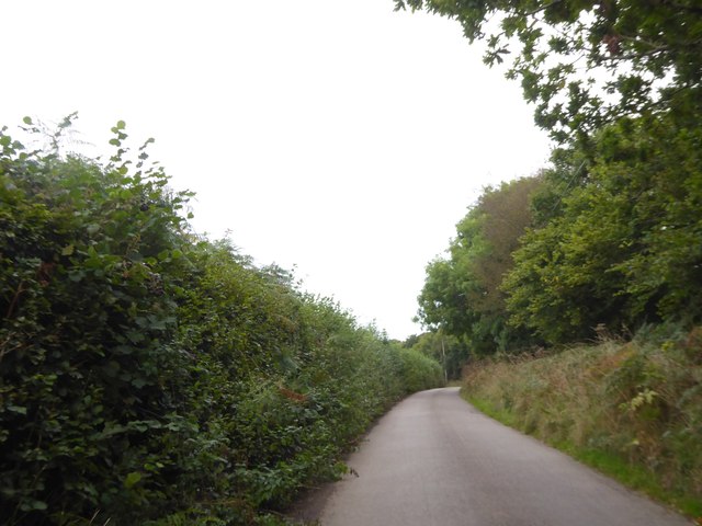
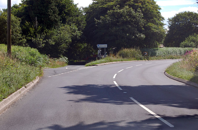
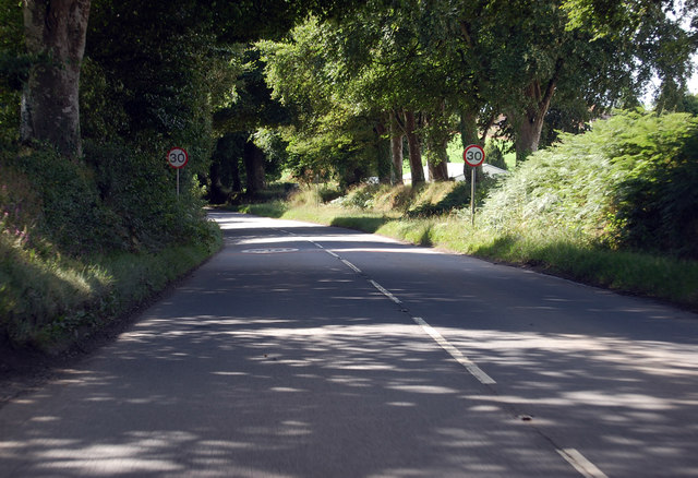
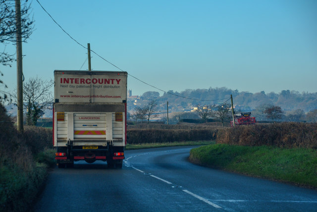
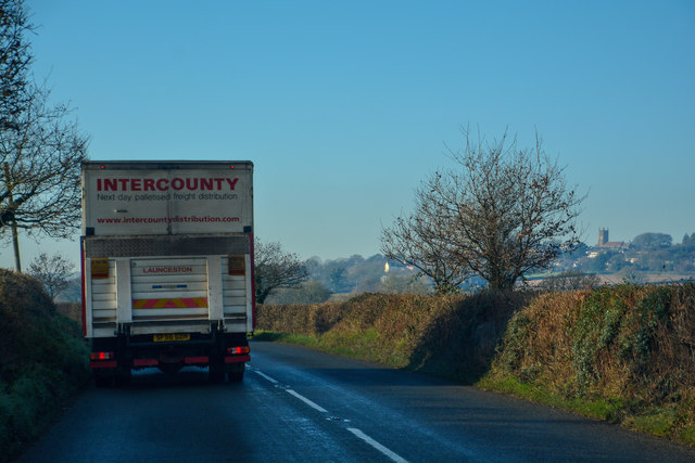
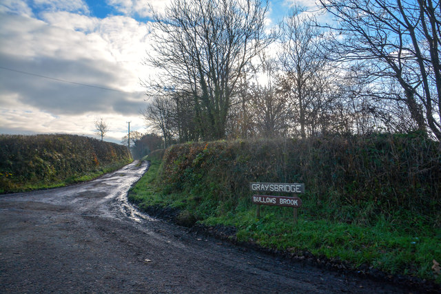
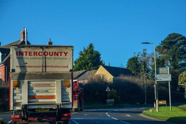
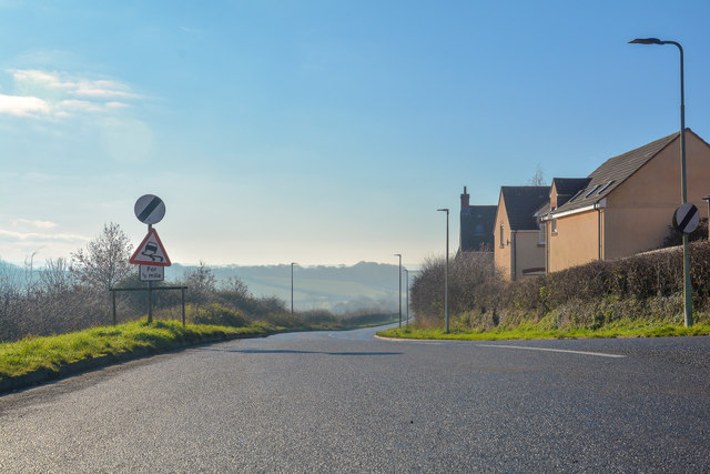
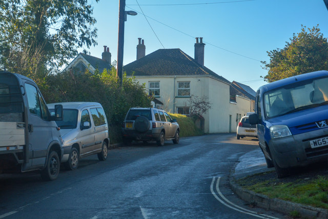
Upcott Images

Images are sourced within 2km of 50.8647/-3.9197224 or Grid Reference SS6509. Thanks to Geograph Open Source API. All images are credited.

Ordnance Survey Cut Mark This OS cut mark can be found on the north face of All Saints Church. It marks a point 171.231m above mean sea level.
Ordnance Survey Cut Mark
This OS cut mark can be found on the north face of All Saints Church. It marks a point 171.231m above mean sea level.
Ordnance Survey Cut Mark This OS cut mark can be found on the south face of St Michael's Church. It marks a point 151.804m above mean sea level.
Ordnance Survey Cut Mark
This OS cut mark can be found on the south face of St Michael's Church. It marks a point 151.804m above mean sea level.
Access track at Pittford Bridge A short private track to some buildings by the stream east of the bridge
Access track at Pittford Bridge
A short private track to some buildings by the stream east of the bridge
Road junction at Blackhorse Corner, Wembworthy  Looking east to the village
Road junction at Blackhorse Corner, Wembworthy
Looking east to the village
Signpost at Blackhorse Corner, Wembworthy Also named as Black Horse Corner on OS maps; a forth arm of the junction is unsigned, as it is a track and footpath
Signpost at Blackhorse Corner, Wembworthy
Also named as Black Horse Corner on OS maps; a forth arm of the junction is unsigned, as it is a track and footpath
The Lymington Arms at Lama Cross
Lymington Arms and its car park at Lama Cross Patrons can sit outside the front of the inn, protected from the traffic on the quiet road by the half barrels planted with small trees
Lymington Arms and its car park at Lama Cross
Patrons can sit outside the front of the inn, protected from the traffic on the quiet road by the half barrels planted with small trees
The road to Partridge Walls Cross Narrow road with hedgebanks; the boundary between Eggesford and Brushford runs along this stretch of road
The road to Partridge Walls Cross
Narrow road with hedgebanks; the boundary between Eggesford and Brushford runs along this stretch of road
A3124 junction to Hollocombe This junction is on a sharp bend towards Winkleigh.
A3124 junction to Hollocombe
This junction is on a sharp bend towards Winkleigh.
A3214 approaching Winkleigh 30 M.P.H. limit ahead.
A3214 approaching Winkleigh
30 M.P.H. limit ahead.
Winkleigh : The B3220 Looking along the B3220 through the Winkleigh parish.
Winkleigh : The B3220
Looking along the B3220 through the Winkleigh parish.
Winkleigh : The B3220 Looking along the B3220 through the Winkleigh parish.
Winkleigh : The B3220
Looking along the B3220 through the Winkleigh parish.
Winkleigh : Track A track heading to Graysbridge off the B3220.
Winkleigh : Track
A track heading to Graysbridge off the B3220.
Winkleigh : The B3220 The road heads into Winkleigh.
Winkleigh : The B3220
The road heads into Winkleigh.
Winkleigh : The A3124 Looking along the A3214.
Winkleigh : The A3124
Looking along the A3214.
Winkleigh : Exeter Road Exeter Road off the A3124.
Winkleigh : Exeter Road
Exeter Road off the A3124.
Winkleigh : The A3124 Looking along the A3124 through the Winkleigh parish.
Winkleigh : The A3124
Looking along the A3124 through the Winkleigh parish.
Winkleigh : Hills of Devon Looking towards business units in Winkleigh.
Winkleigh : Hills of Devon
Looking towards business units in Winkleigh.
Show me another place!

Upcott is located at Grid Ref: SS6509 (Lat: 50.8647, Lng: -3.9197224)

Administrative County: Devon

District: Mid Devon

Police Authority: Devon and Cornwall

What 3 Words

///says.intestine.pump. Near Winkleigh, Devon

Related Wikis

Wembworthy

Wembworthy is a small village, parish and former manor in Mid-Devon, England. It is situated in the valley of the River Taw, 8 miles north-east of the...

Church of All Saints, Winkleigh

The Church of All Saints is a Church of England parish church in Winkleigh, Devon. The church is a Grade I listed building. == History == The earliest...

Winkleigh

Winkleigh is a civil parish and small village in Devon, England. It is part of the local government area of Torridge District Council. The population of...

RAF Winkleigh

Royal Air Force Winkleigh, or more simply RAF Winkleigh, is a former Royal Air Force satellite station located near to Winkleigh, Devon and south of Barnstaple...

Have you been to Upcott?

Leave your review of Upcott below (or comments, questions and feedback).