Bovinger

Settlement in Essex Epping Forest

England

Bovinger

The former Blake Hall station Blake Hall station was opened by the Great Eastern Railway in 1865 and after becoming part of London Underground's Central line after the Second World war it was closed on 31st October 1981. The station before its closure was famously known as the least used on the entire Underground when it was reported to have only seventeen passengers a day. Trains still run through the station on the Epping Ongar Heritage Line. This was the London Transport Weekend which celebrated the Epping Ongar Railway's links with London Transport. The view is from a westbound train on its way to North Weald.

The full story with photographs can be seen at <span class="nowrap"><a title="http://www.disused-stations.org.uk/b/blake_hall/" rel="nofollow ugc noopener" href="http://www.disused-stations.org.uk/b/blake_hall/">Link</a><img style="margin-left:2px;" alt="External link" title="External link - shift click to open in new window" src="https://s1.geograph.org.uk/img/external.png" width="10" height="10"/></span>
The former Blake Hall station Credit: Marathon

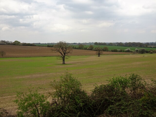
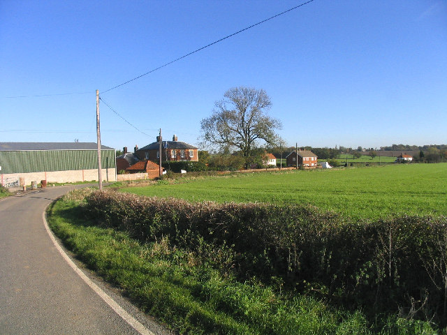
Bovinger is a small village located in the county of Essex, England. Situated approximately 40 miles northeast of London, it falls within the district of Basildon. The village is nestled amidst picturesque countryside, providing residents with a peaceful and rural setting.

Bovinger is known for its quaint charm and close-knit community. The village is home to a population of around 500 residents, fostering a strong sense of community spirit. The residents of Bovinger are welcoming and friendly, making it an ideal place for those seeking a close community atmosphere.

The village offers a range of amenities to cater to the needs of its residents. These include a local village hall, a primary school, and a post office. Additionally, the nearby town of Basildon provides further facilities and services, such as shopping centers, healthcare facilities, and leisure activities.

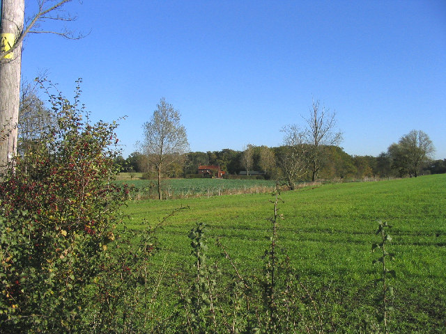
Nature enthusiasts will find plenty to enjoy in Bovinger, as the surrounding area boasts beautiful countryside landscapes and numerous walking trails. The village is also within close proximity to the expansive Langdon Hills Country Park, providing ample opportunities for outdoor recreation.

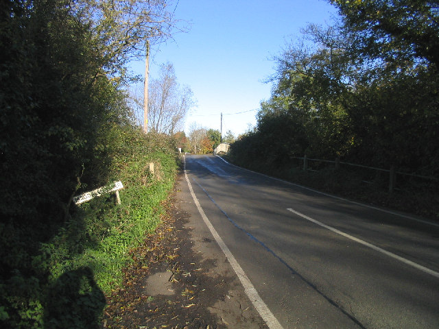
Transport links in Bovinger are convenient, with easy access to major roadways such as the A127 and A13. The village is also served by regular bus services, connecting residents to nearby towns and cities.

Overall, Bovinger offers a tranquil and tight-knit community, surrounded by picturesque countryside, making it an attractive place to reside.

If you have any feedback on the listing, please let us know in the comments section below.
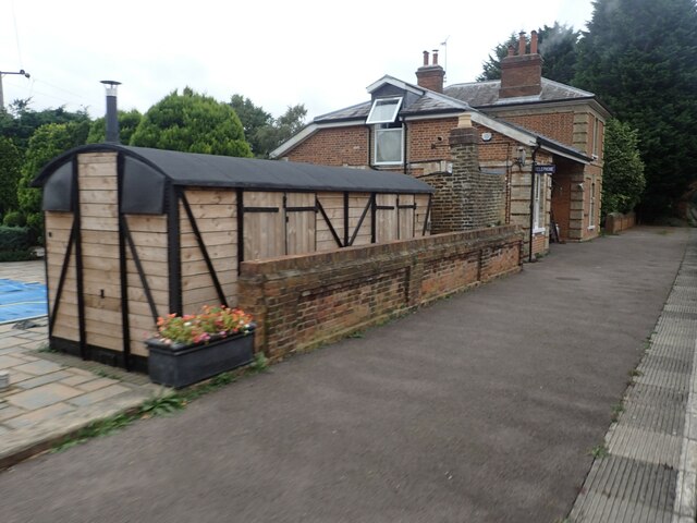
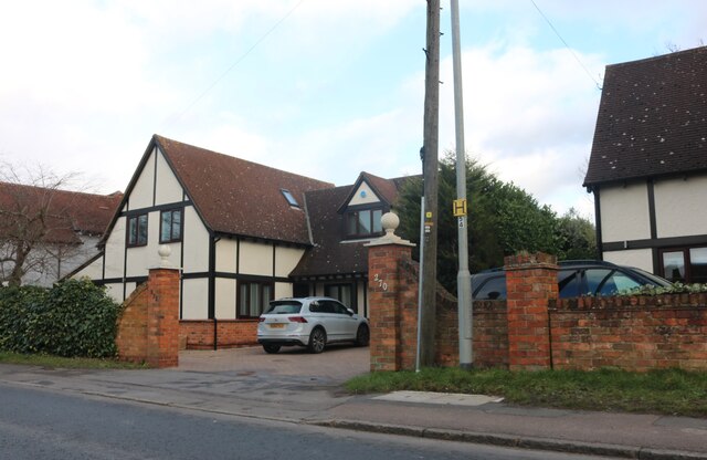
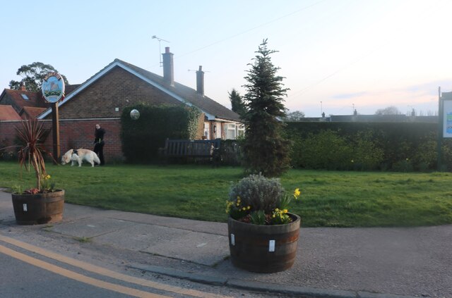
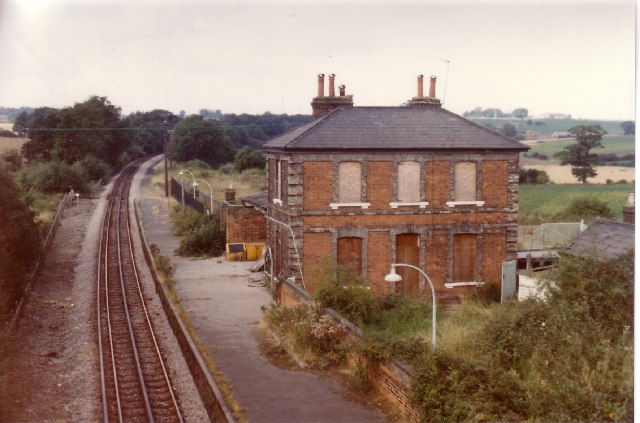
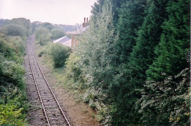
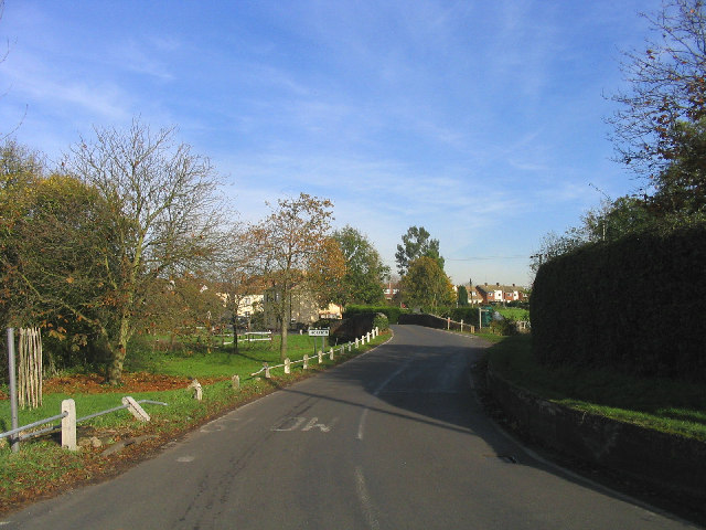
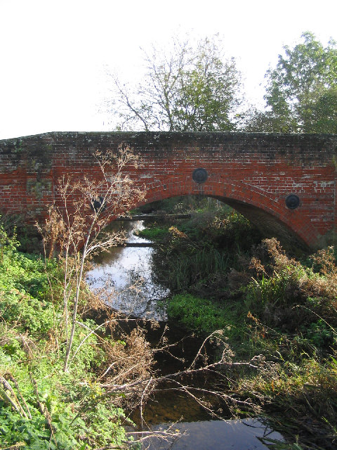
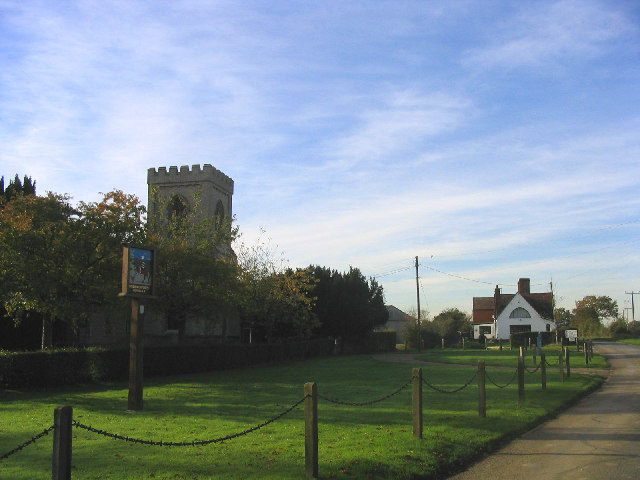
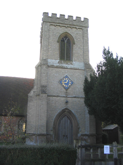
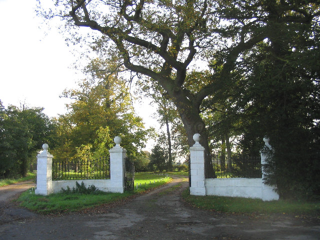
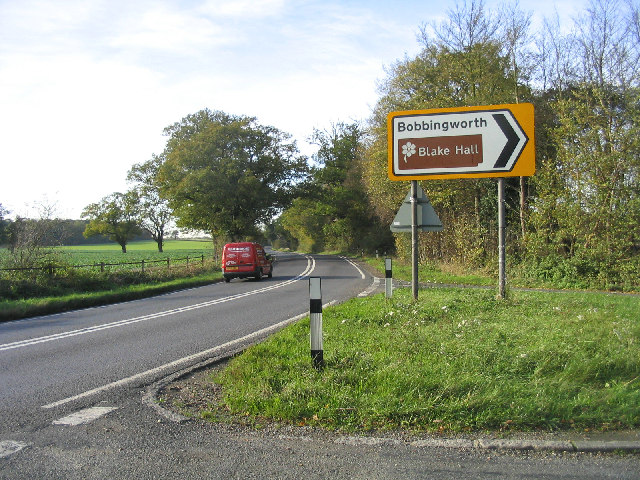
Bovinger Images

Images are sourced within 2km of 51.726306/0.201998 or Grid Reference TL5205. Thanks to Geograph Open Source API. All images are credited.

The former Blake Hall station Blake Hall station was opened by the Great Eastern Railway in 1865 and after becoming part of London Underground's Central line after the Second World war it was closed on 31st October 1981. The station before its closure was famously known as the least used on the entire Underground when it was reported to have only seventeen passengers a day. Trains still run through the station on the Epping Ongar Heritage Line. This was the London Transport Weekend which celebrated the Epping Ongar Railway's links with London Transport. The view is from a westbound train on its way to North Weald.

The full story with photographs can be seen at <span class="nowrap"><a title="http://www.disused-stations.org.uk/b/blake_hall/" rel="nofollow ugc noopener" href="http://www.disused-stations.org.uk/b/blake_hall/">Link</a><img style="margin-left:2px;" alt="External link" title="External link - shift click to open in new window" src="https://s1.geograph.org.uk/img/external.png" width="10" height="10"/></span>
The former Blake Hall station
Blake Hall station was opened by the Great Eastern Railway in 1865 and after becoming part of London Underground's Central line after the Second World war it was closed on 31st October 1981. The station before its closure was famously known as the least used on the entire Underground when it was reported to have only seventeen passengers a day. Trains still run through the station on the Epping Ongar Heritage Line. This was the London Transport Weekend which celebrated the Epping Ongar Railway's links with London Transport. The view is from a westbound train on its way to North Weald. The full story with photographs can be seen at LinkExternal link
House on High Road, North Weald Bassett These style of houses have been built along stretches of this road and are in at least the high tens without counting them all.
House on High Road, North Weald Bassett
These style of houses have been built along stretches of this road and are in at least the high tens without counting them all.
Green in Moreton
Green in Moreton
Isolated trees in a field near Ongar Park Hall From a passing Epping-Ongar train.
Isolated trees in a field near Ongar Park Hall
From a passing Epping-Ongar train.
Former Blake Hall Station, near Ongar, Essex Taken in 1985, a year after the closure of the station, Blake Hall was the penultimate stop on the Central Line on its way to Ongar. The single-track line from Epping, via North Weald, to Ongar closed ten years later but opened in 2004 as a "tourist attraction" by the Epping and Ongar Railway Society. They run trains on Sundays all year.
Former Blake Hall Station, near Ongar, Essex
Taken in 1985, a year after the closure of the station, Blake Hall was the penultimate stop on the Central Line on its way to Ongar. The single-track line from Epping, via North Weald, to Ongar closed ten years later but opened in 2004 as a "tourist attraction" by the Epping and Ongar Railway Society. They run trains on Sundays all year.
Former Blake Hall Station, near Ongar, Essex A photograph taken exactly 20 years later than <a href="https://www.geograph.org.uk/photo/65456">TL5203 : Former Blake Hall Station, near Ongar, Essex</a>.
Former Blake Hall Station, near Ongar, Essex
A photograph taken exactly 20 years later than TL5203 : Former Blake Hall Station, near Ongar, Essex.
Farm Track, Magdalen Laver, Essex Looking north from Weald Lodge toward Magdalen Laver
Farm Track, Magdalen Laver, Essex
Looking north from Weald Lodge toward Magdalen Laver
Moreton, Essex South side of the village with bridge over the delightfully named "Cripsey Brook"
Moreton, Essex
South side of the village with bridge over the delightfully named "Cripsey Brook"
Bridge over Cripsey Brook, Moreton, Essex
Bobbingworth, Essex According to the village sign the full name of this village is "Bobbingworth Bovinger". On the left is the church of St. Germain
Bobbingworth, Essex
According to the village sign the full name of this village is "Bobbingworth Bovinger". On the left is the church of St. Germain
Church Tower, St. Germain's, Bobbingworth, Essex
Entrance Gate, Blake Hall, Bobbingworth, Essex
The 'A414' at Bobbingworth, Essex Looking west
The 'A414' at Bobbingworth, Essex
Looking west
Dewley Wood, Blake Hall, Essex A view east from Blake Hall Road
Dewley Wood, Blake Hall, Essex
A view east from Blake Hall Road
Lower Bobbingworth Green, Essex A view north with Sayer's Farm on left side of picture.
Lower Bobbingworth Green, Essex
A view north with Sayer's Farm on left side of picture.
Cripsey Brook, Magdalen Laver, Essex
Weald Bridge, Magdalen Laver, Essex A view north in Weald Bridge Road
Weald Bridge, Magdalen Laver, Essex
A view north in Weald Bridge Road
Derelict Barns, High Ongar, Essex
Show me another place!

Bovinger is located at Grid Ref: TL5205 (Lat: 51.726306, Lng: 0.201998)

Administrative County: Essex

District: Epping Forest

Police Authority: Essex

What 3 Words

///flats.purely.bumpy. Near Chipping Ongar, Essex

Related Wikis

Bovinger

Bovinger is a village in Essex, England. == References ==

Hundred of Ongar

Hundred of Ongar was an ancient hundred in the west of the county of Essex, England. Hundred of Ongar was centred on the town of Chipping Ongar. Hundred...

Bobbingworth

Bobbingworth is a village and civil parish in the Epping Forest district of Essex, England. The village is situated approximately 3 miles (5 km) north...

Blake Hall tube station

Blake Hall is a disused former station on the London Underground in the civil parish of Stanford Rivers, and south from the village of Bobbingworth in...

Nearby Amenities

Located within 500m of 51.726306,0.201998
Bus Stop
Bobbingworth Mill
Bus: yes
Naptan AtcoCode: 150021010003
Naptan Bearing: W
Naptan CommonName: Bobbingworth Mill
Naptan Indicator: Adj
Naptan Landmark: Bobbingworth Mill
Naptan NaptanCode: esxgatga
Naptan Street: Epping Road
Naptan Verified: no
Public Transport: platform
Source: naptan_import
Lat/Long: 51.7252689/0.200336
Bus Stop
Bobbingworth Mill
Bus: yes
Naptan AtcoCode: 150021010004
Naptan Bearing: E
Naptan CommonName: Bobbingworth Mill
Naptan Indicator: Opp
Naptan Landmark: Bobbingworth Mill
Naptan NaptanCode: esxgatgd
Naptan Street: Epping Road
Naptan Verified: no
Public Transport: platform
Source: naptan_import
Lat/Long: 51.7251884/0.2014887
Bus Stop
Blake Hall Road
Bus: yes
Naptan AtcoCode: 150021010005
Naptan Bearing: NW
Naptan CommonName: Blake Hall Road
Naptan Crossing: Blake Hall Road
Naptan Indicator: Adj
Naptan Landmark: Blake Hall Road
Naptan NaptanCode: esxgatgj
Naptan Street: Epping Road
Naptan Verified: no
Public Transport: platform
Source: naptan_import
Lat/Long: 51.7238933/0.2051769
Bus Stop
Blake Hall Road
Bus: yes
Naptan AtcoCode: 150021010006
Naptan Bearing: SE
Naptan CommonName: Blake Hall Road
Naptan Crossing: Blake Hall Road
Naptan Indicator: Opp
Naptan Landmark: Blake Hall Road
Naptan NaptanCode: esxgatgm
Naptan Street: Epping Road
Naptan Verified: no
Public Transport: platform
Source: naptan_import
Lat/Long: 51.7237225/0.2058662
Bus Stop
Blake Hall Road
Bus: yes
Naptan AtcoCode: 15002101001
Naptan Bearing: S
Naptan BusStopType: CUS
Naptan CommonName: Blake Hall Road
Naptan Crossing: Epping Road
Naptan Indicator: S-bound
Naptan Landmark: Blake Hall Road
Naptan NaptanCode: esxjgadm
Naptan Street: Blake Hall Road
Naptan Verified: no
Public Transport: platform
Source: naptan_import
Lat/Long: 51.7234425/0.2055658
Lower Bobbingworth Green
Place: hamlet
Lat/Long: 51.724937/0.208372
Bovinger
Place: hamlet
Wikidata: Q265742
Lat/Long: 51.7267679/0.2009809
Telephone
Defibrillator
Access: yes
Booth: K6
Covered: booth
Defibrillator Location: inside old red phone box in Bovinger
Emergency: defibrillator
Man Made: telephone_box
Lat/Long: 51.7263093/0.2018357
Post Box
Post Box Type: wall
Royal Cypher: GR
Royal Cypher Wikidata: Q33102273
Lat/Long: 51.7260928/0.2017333
Give Way
Direction: forward
Lat/Long: 51.7253205/0.2008956
Give Way
Direction: forward
Lat/Long: 51.7237451/0.2057668
Give Way
Direction: backward
Lat/Long: 51.7237814/0.20564
Give Way
Direction: forward
Lat/Long: 51.7236869/0.2056845
Traffic Sign: variable_message
Lat/Long: 51.724627/0.2032785
Traffic Sign: yes
Lat/Long: 51.724402/0.2040312
Traffic Sign: yes
Lat/Long: 51.7247024/0.2027028
Inscription: GAS NTS
Marker: post
Utility: gas
Lat/Long: 51.7247236/0.2030123
Colour: red and white
Marker: aerial
Utility: gas
Lat/Long: 51.7246314/0.2029518
Colour: yellow
Marker: post
Material: concrete
Utility: gas
Lat/Long: 51.7277785/0.2045564
The data included in this document is from www.openstreetmap.org. The data is made available under ODbL.

Have you been to Bovinger?

Leave your review of Bovinger below (or comments, questions and feedback).