Bovingdon Green
Settlement in Hertfordshire Dacorum
England
Bovingdon Green

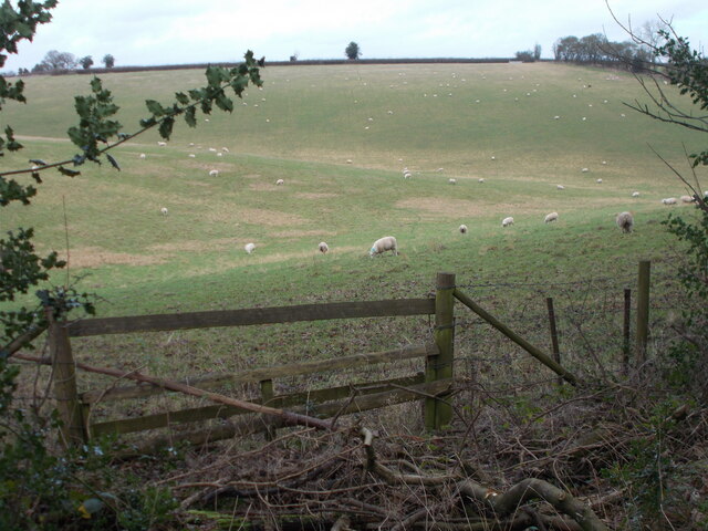
Bovingdon Green is a small hamlet located in the county of Hertfordshire, England. Situated approximately 30 miles northwest of London, it falls within the district of Dacorum. The settlement is nestled in a picturesque rural setting, surrounded by rolling hills and countryside.
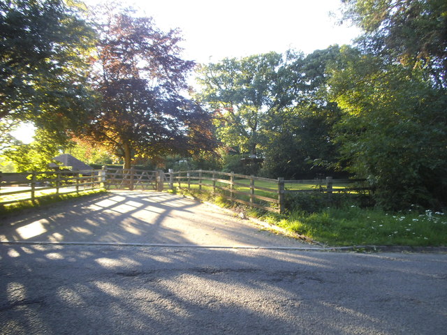
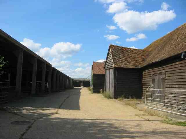
The hamlet is characterized by its quaint and idyllic charm, with a small cluster of traditional cottages and houses. Bovingdon Green is primarily a residential area, and its population is relatively small.
Despite its size, Bovingdon Green benefits from a close-knit community, with residents taking pride in their neighborhood. The hamlet offers a peaceful and tranquil atmosphere, providing an escape from the hustle and bustle of city life.
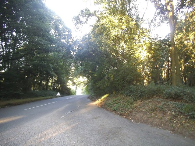
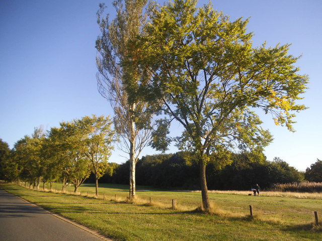
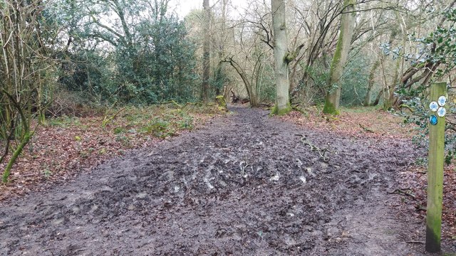
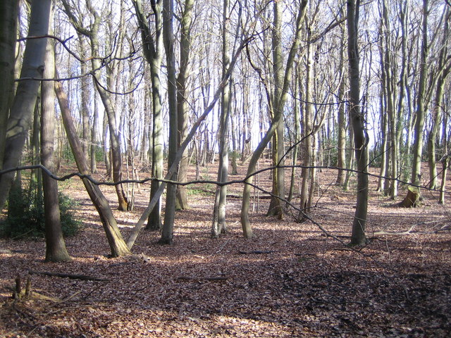
The nearby area offers a range of recreational opportunities for residents and visitors. The surrounding countryside is ideal for outdoor activities such as walking, cycling, and horse riding. Additionally, Bovingdon Green is within close proximity to Ashridge Estate, a vast National Trust parkland, which offers stunning natural beauty and historic sites.
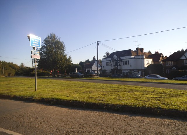
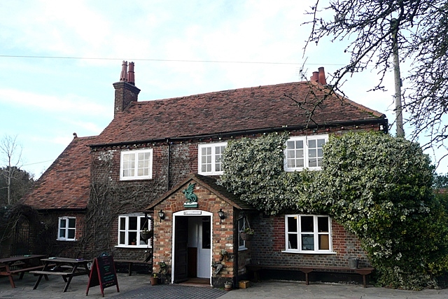
While Bovingdon Green itself does not boast many amenities, the neighboring village of Bovingdon provides essential services such as shops, pubs, and a primary school. The hamlet is well-connected to surrounding towns and cities, with good transportation links including nearby motorways and train stations.
In summary, Bovingdon Green is a charming, rural hamlet in Hertfordshire, offering a peaceful lifestyle and access to beautiful countryside. Its small size and close-knit community make it an ideal place for those seeking a tranquil retreat.
If you have any feedback on the listing, please let us know in the comments section below.
Bovingdon Green Images
Images are sourced within 2km of 51.707656/-0.5396893 or Grid Reference TL0102. Thanks to Geograph Open Source API. All images are credited.


Bovingdon Green is located at Grid Ref: TL0102 (Lat: 51.707656, Lng: -0.5396893)
Administrative County: Hertfordshire
District: Dacorum
Police Authority: Hertfordshire
What 3 Words
///forgot.doctor.expand. Near Bovingdon, Hertfordshire
Nearby Locations
Related Wikis
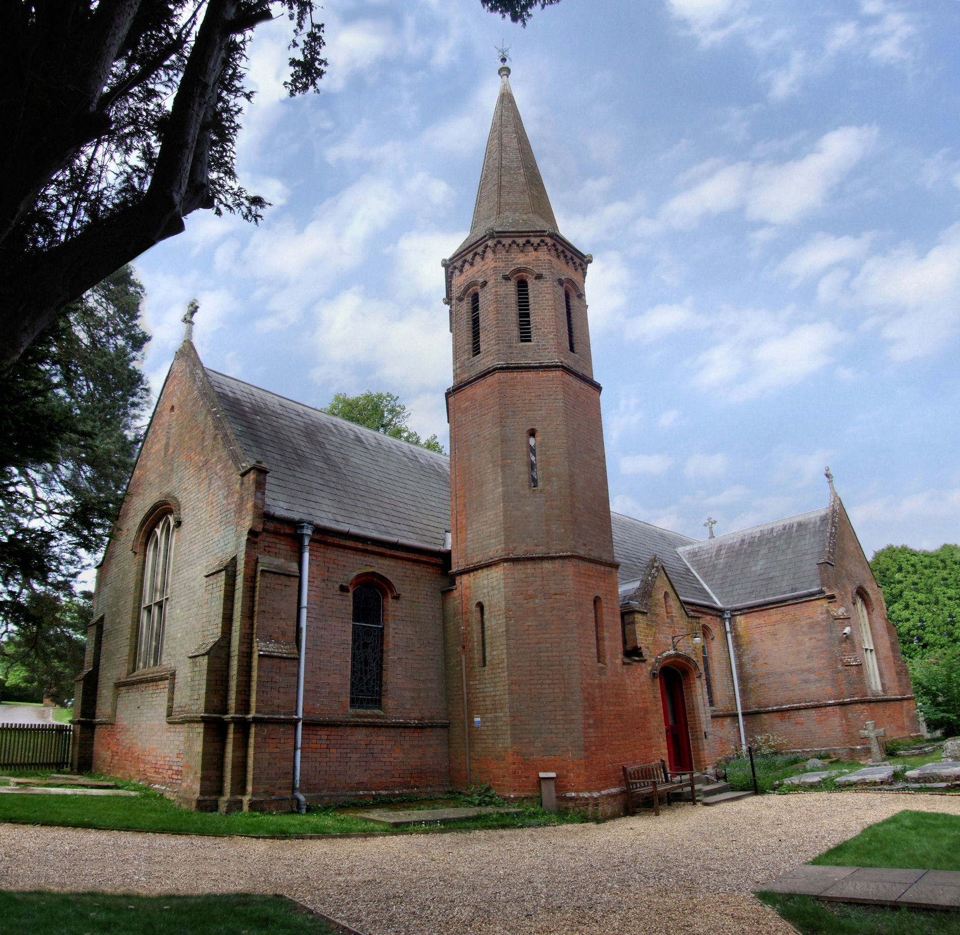
Flaunden
Flaunden is a village and a civil parish in Hertfordshire, England, close to the border with Buckinghamshire. Old Flaunden was on the banks of the River...
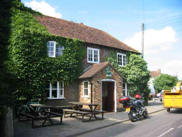
The Green Dragon, Flaunden
The Green Dragon is a Grade II listed public house in Flaunden, Hertfordshire, England. The rear wing, a timber-framed structure, is the oldest part of...
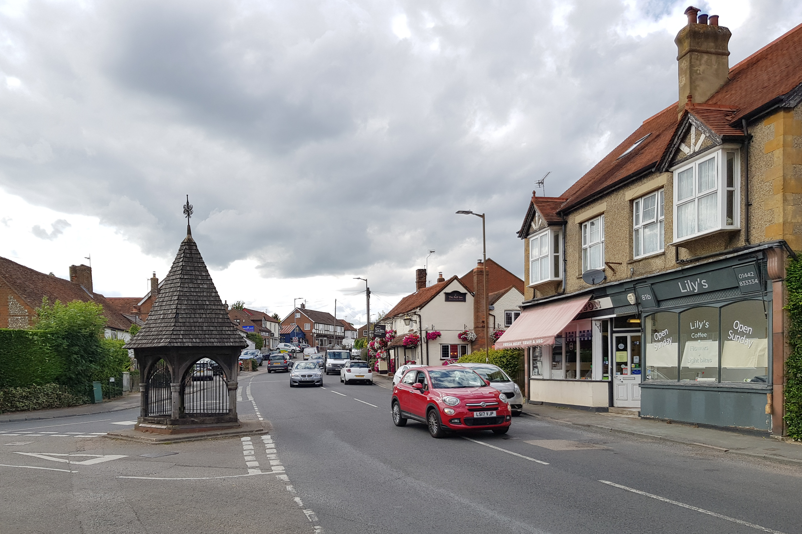
Bovingdon
Bovingdon is a village in Hertfordshire, England, 4 miles (6.4 km) southwest of Hemel Hempstead, and it is a civil parish within the local authority area...

HM Prison The Mount
HM Prison The Mount is a Category C men's prison, located on the outskirts of Bovingdon village in Hertfordshire, England. The Mount Prison is operated...
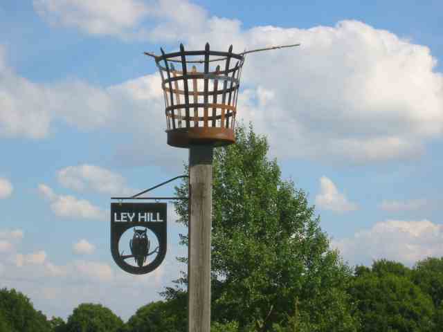
Ley Hill
Ley Hill is a Chiltern village on the Buckinghamshire/Hertfordshire border in south-east England, near the town of Chesham. It is part of the civil parish...
Latimer and Ley Hill
Latimer and Ley Hill, formerly just Latimer, is a civil parish under Buckinghamshire Council, in the ceremonial county of Buckinghamshire, England. The...
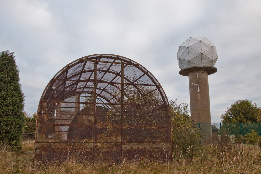
RAF Chenies
RAF Chenies is a former Royal Air Force radar intercept station located 1.4 miles (2.3 km) North of the village of Chenies in Buckinghamshire, built in...
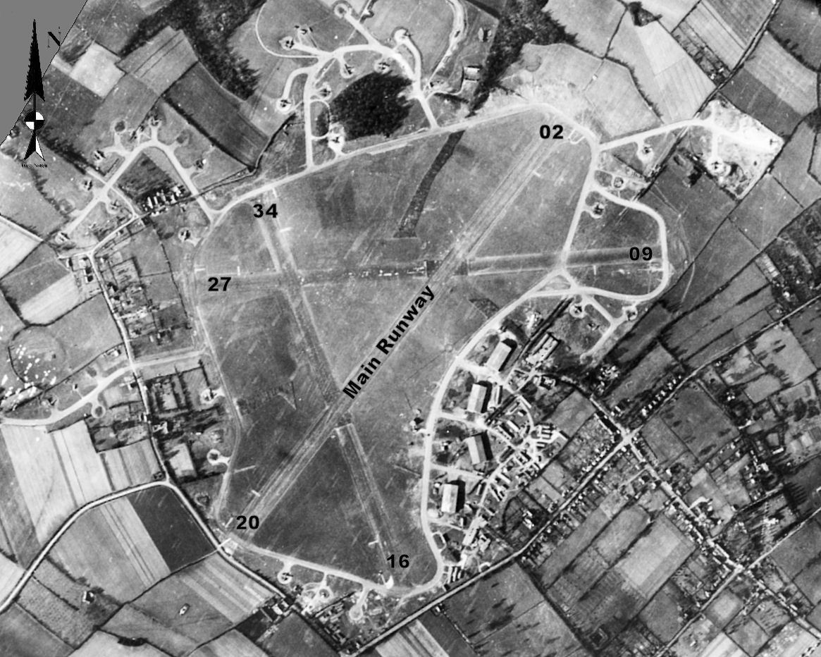
RAF Bovingdon
Royal Air Force Bovingdon or more simply RAF Bovingdon is a former Royal Air Force station located near the village of Bovingdon, Hertfordshire, England...
Nearby Amenities
Located within 500m of 51.707656,-0.5396893Have you been to Bovingdon Green?
Leave your review of Bovingdon Green below (or comments, questions and feedback).