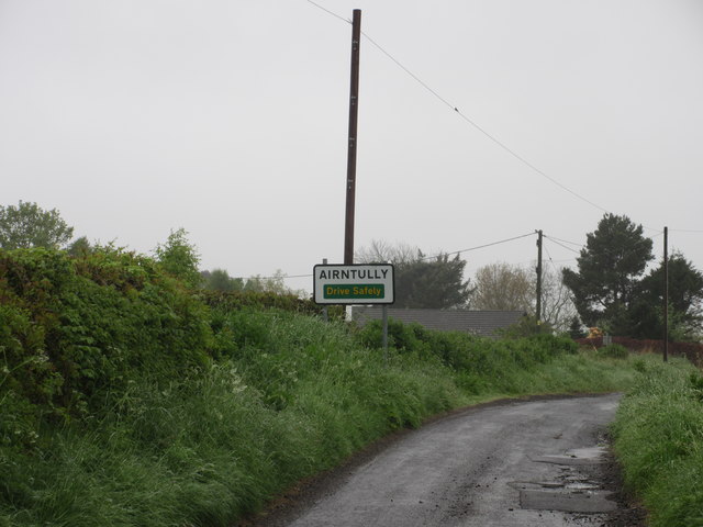
Airntully

Settlement in Perthshire

Scotland

Airntully

Old Milestone by the B9099 near Drummond Hall Milestone by the B9099, in parish of Kinclaven (Perth and Kinross District), Drummondhall Farm, in ditch.

Inscription once read:-
: (Caputh 2½) : : (Perth 9¼) :

Surveyed

Milestone Society National ID: PK_PTDK09
Old Milestone by the B9099 near Drummond Hall Credit: Milestone Society

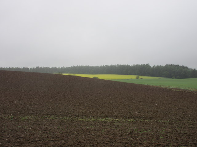
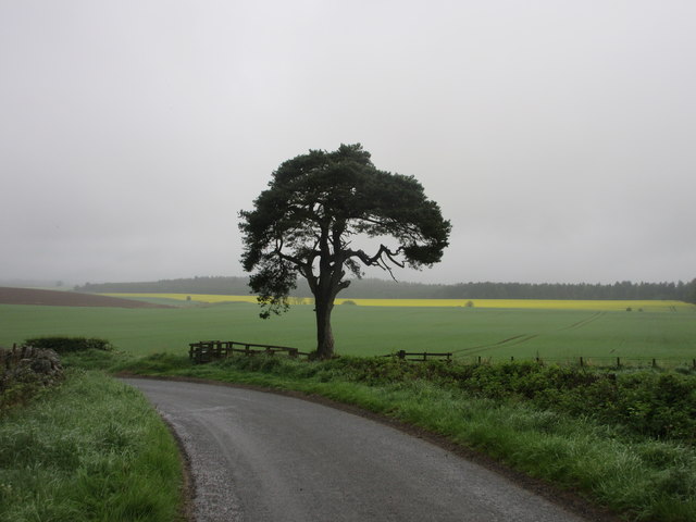
Airntully is a small rural village located in the county of Perthshire, Scotland. Situated in the heart of the country, it is surrounded by picturesque landscapes and rolling hills. The village is nestled on the banks of the River Tay, offering stunning views and a tranquil atmosphere.

With a population of around 200 residents, Airntully is known for its close-knit community and friendly atmosphere. The village primarily consists of traditional stone cottages and farmhouses, giving it a charming and rustic feel. The local architecture is a testament to the area's rich history and rural heritage.

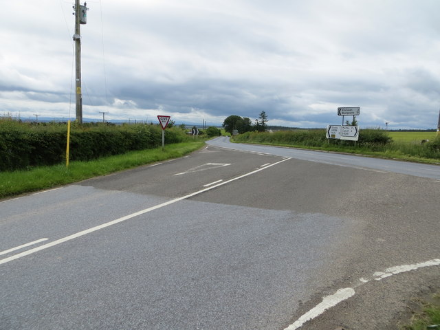
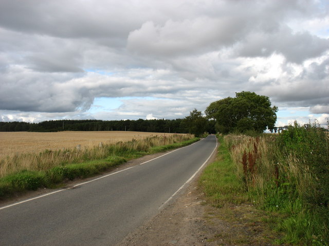
Although small, Airntully is well-connected to neighboring towns and cities. The village is conveniently located near the A9 road, providing easy access to Perth, which is approximately 10 miles away. This proximity allows residents to enjoy the amenities and services offered in larger urban areas while still enjoying the peace and quiet of village life.

The surrounding natural beauty makes Airntully an ideal location for outdoor enthusiasts. The village is close to the stunning Perthshire countryside, offering opportunities for hiking, cycling, and fishing. The River Tay is particularly popular for salmon fishing, attracting anglers from across the country.

Despite its rural setting, Airntully benefits from nearby amenities such as schools, shops, and healthcare facilities, ensuring a convenient and comfortable lifestyle for its residents. Overall, Airntully offers a tranquil and picturesque village experience, making it an attractive place to live for those seeking a peaceful rural retreat in the heart of Scotland.

If you have any feedback on the listing, please let us know in the comments section below.
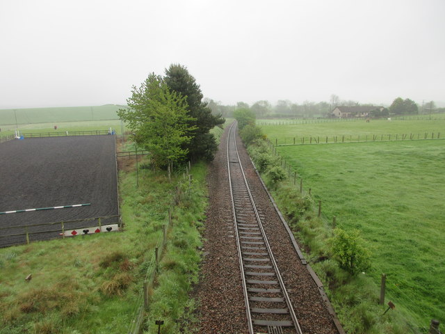
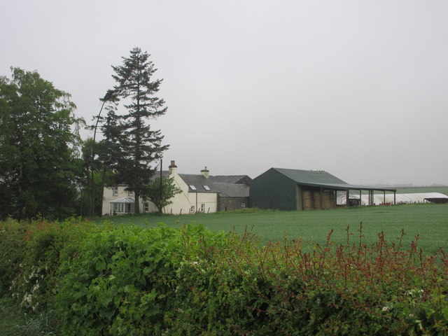
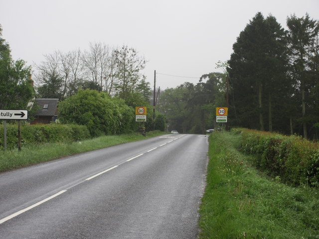
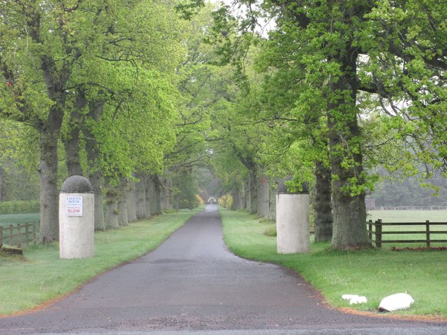
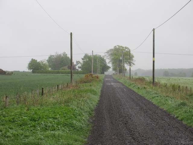
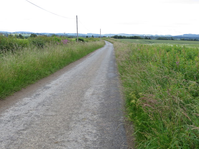
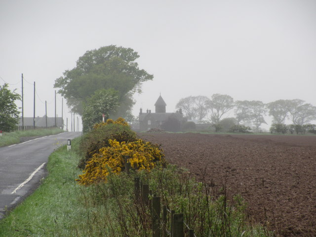
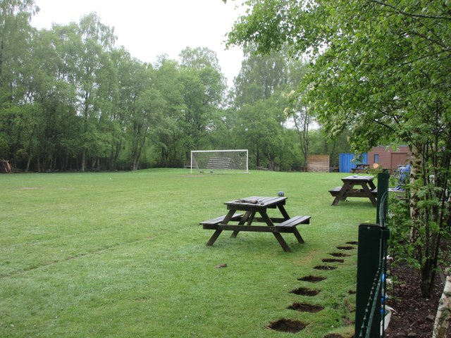
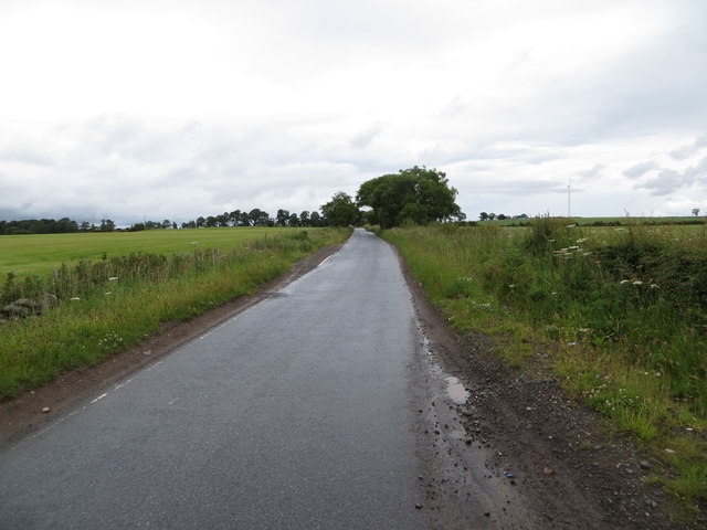
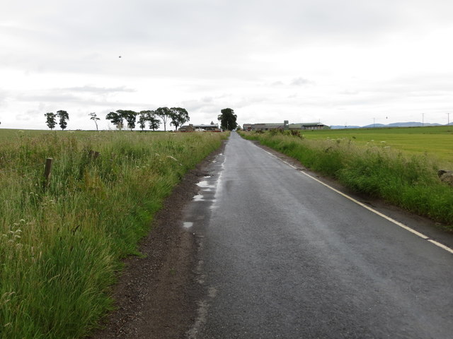
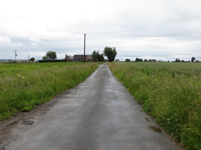
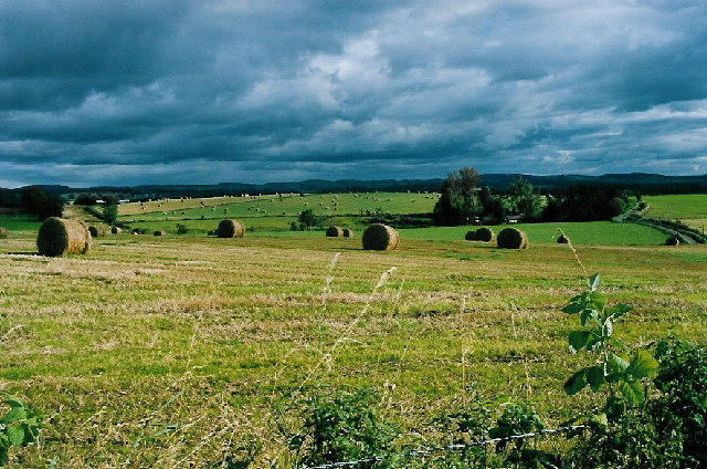
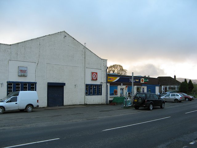
Airntully Images

Images are sourced within 2km of 56.502571/-3.464857 or Grid Reference NO0935. Thanks to Geograph Open Source API. All images are credited.

Old Milestone by the B9099 near Drummond Hall Milestone by the B9099, in parish of Kinclaven (Perth and Kinross District), Drummondhall Farm, in ditch.

Inscription once read:-
: (Caputh 2½) : : (Perth 9¼) :

Surveyed

Milestone Society National ID: PK_PTDK09
Old Milestone by the B9099 near Drummond Hall
Milestone by the B9099, in parish of Kinclaven (Perth and Kinross District), Drummondhall Farm, in ditch. Inscription once read:- : (Caputh 2½) : : (Perth 9¼) : Surveyed Milestone Society National ID: PK_PTDK09
Old Milestone by the B9099, West Tofts Milestone by the B9099, in parish of Kinclaven (Perth and Kinross District), North of West Tofts, on verge nr house, Ballacraine.

Inscription once read:-
: (Perth / 8¼) : : (Caputh / 3½) :
Carved benchmark recorded.

Surveyed

Milestone Society National ID: PK_PTDK08
Old Milestone by the B9099, West Tofts
Milestone by the B9099, in parish of Kinclaven (Perth and Kinross District), North of West Tofts, on verge nr house, Ballacraine. Inscription once read:- : (Perth / 8¼) : : (Caputh / 3½) : Carved benchmark recorded. Surveyed Milestone Society National ID: PK_PTDK08
Perth to Inverness railway line Railway line headed for Perth, viewed from the bridge at Taymount, with the dressage area to the left.
Perth to Inverness railway line
Railway line headed for Perth, viewed from the bridge at Taymount, with the dressage area to the left.
Stanley Farm Stanley Farm viewed from the B9099 to the north-east.
Stanley Farm
Stanley Farm viewed from the B9099 to the north-east.
B9099 approaching Stanley The B9099 approaching the village of Stanley from the north.
B9099 approaching Stanley
The B9099 approaching the village of Stanley from the north.
Entrance to Laguna House The entrance to Laguna House from the B9099 to the west.
Entrance to Laguna House
The entrance to Laguna House from the B9099 to the west.
Road to Patter The road to Patter from the B9099 to the west.
Road to Patter
The road to Patter from the B9099 to the west.
Minor road heading towards Stanley Looking south-eastward.
Minor road heading towards Stanley
Looking south-eastward.
Road joining B9099 near South View Looking south-westward.
Road joining B9099 near South View
Looking south-westward.
The road from Bankfoot to Murthly
Five Mile Wood Distant view of Five Mile Wood through the murk, from the Airntully road to the east.
Five Mile Wood
Distant view of Five Mile Wood through the murk, from the Airntully road to the east.
Solitary Pine Single tree viewed from the north on the Airntully road.
Solitary Pine
Single tree viewed from the north on the Airntully road.
Airntully Sign The approach to the hamlet of Airntully from the north.
Airntully Sign
The approach to the hamlet of Airntully from the north.
Stewart Tower Distant view, through the mist, of Stewart Tower from the east.
Stewart Tower
Distant view, through the mist, of Stewart Tower from the east.
Football pitch, Murthly Primary School Football pitch adjacent to Murthly Primary School on the west side of the B9099.
Football pitch, Murthly Primary School
Football pitch adjacent to Murthly Primary School on the west side of the B9099.
Minor road between South Barns and Stewart Tower Looking north-eastward.
Minor road between South Barns and Stewart Tower
Looking north-eastward.
Minor road approaching Stewart Tower Looking north-eastward.
Minor road approaching Stewart Tower
Looking north-eastward.
Minor road approaching Cleikiminn Looking south-eastward.
Minor road approaching Cleikiminn
Looking south-eastward.
Show me another place!

Airntully is located at Grid Ref: NO0935 (Lat: 56.502571, Lng: -3.464857)

Unitary Authority: Perth and Kinross

Police Authority: Tayside

What 3 Words

///enrolling.diplomas.soccer. Near Stanley, Perth & Kinross

Nearby Locations

Airntully

Related Wikis

Airntully

Airntully () is a village in the Scottish council area of Perth and Kinross, which is to the west of the River Tay, 8 miles (11 km) north of Perth. In...

Stanley (SMJR) railway station

Stanley railway station was located in the Scottish village of Stanley, Perthshire and was opened in 1848 and closed in 1857, when the new station of Stanley...

Murthly railway station

Murthly railway station served the village of Murthly, Perth and Kinross, Scotland from 1856 to 1965 on the Perth and Dunkeld Railway. The railway line...

Bankfoot railway station

Bankfoot railway station served the village of Bankfoot, Perth and Kinross, Scotland, from 1906 to 1964 on the Bankfoot Light Railway. In 1911, the registered...

Stanley, Perthshire

Stanley is a village on the north side of the River Tay in Perthshire, Scotland, around 6 miles (10 kilometres) north of Perth. The section of the River...

Murthly

Murthly (Scottish Gaelic Mòrthlaich) is a village in Perth and Kinross, Scotland. It lies on the south bank of the River Tay, 5 miles (8 kilometres) southeast...

Bankfoot

Bankfoot is a village in Perth and Kinross, Scotland, approximately 8 miles (13 km) north of Perth and 7 miles (11 km) south of Dunkeld. Bankfoot had a...
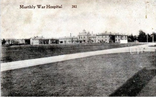
Murthly Hospital

Murthly Hospital, previously known as Murthly Asylum, Perth District Asylum and Perth and District Mental Hospital was a psychiatric hospital in Murthly...

Nearby Amenities

Located within 500m of 56.502571,-3.464857
Airntully
Name Gd: Àird an Tulaich
Place: hamlet
Lat/Long: 56.5037282/-3.4652104
Telephone
Source: survey
Lat/Long: 56.5029615/-3.4648083
Post Box
Collection Times: Mo-Fr 11:00; Sa 11:00
Manufacturer: W.T.Allen & Co. London
Operator: Royal Mail
Post Box Mounting: building
Post Box Type: wall
Ref: PH1 28
Royal Cypher: EVIIR
Royal Cypher Wikidata: Q33102324
Source: survey;local knowledge
Lat/Long: 56.5024368/-3.4647674
Power: pole
Lat/Long: 56.4990278/-3.4608077
Power: pole
Lat/Long: 56.499957/-3.4611435
Power: pole
Lat/Long: 56.5008152/-3.4614296
Power: pole
Lat/Long: 56.5015155/-3.4618463
Power: pole
Lat/Long: 56.5022558/-3.4622071
Power: pole
Lat/Long: 56.5029675/-3.4625471
Power: pole
Lat/Long: 56.5037914/-3.4629534
Power: pole
Lat/Long: 56.5031014/-3.4617054
Power: pole
Lat/Long: 56.5032055/-3.4610647
Power: pole
Lat/Long: 56.5033726/-3.4599597
Power: pole
Lat/Long: 56.5035076/-3.4590309
Power: pole
Lat/Long: 56.5036541/-3.4580606
Power: pole
Lat/Long: 56.5038085/-3.4571277
Power: pole
Lat/Long: 56.5045156/-3.4633131
Power: pole
Lat/Long: 56.5055362/-3.4634707
Power: pole
Lat/Long: 56.5065316/-3.4635951
Power: pole
Lat/Long: 56.5049023/-3.4626539
Power: pole
Lat/Long: 56.5053039/-3.4619759
Power: pole
Lat/Long: 56.5058165/-3.4610989
The data included in this document is from www.openstreetmap.org. The data is made available under ODbL.

Have you been to Airntully?

Leave your review of Airntully below (or comments, questions and feedback).