Bouth
Settlement in Lancashire South Lakeland
England
Bouth
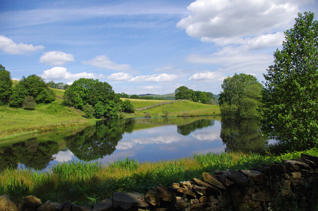
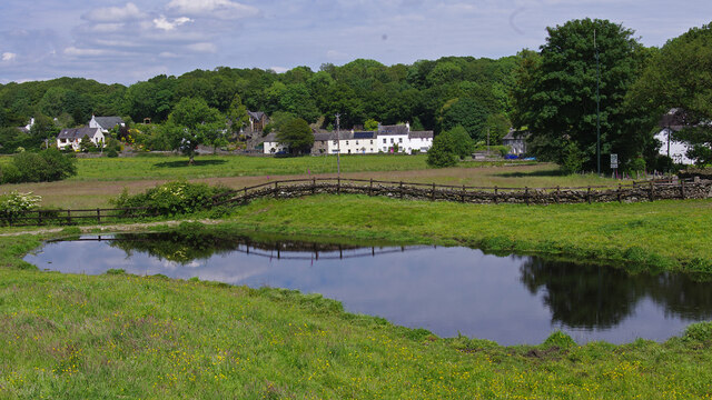
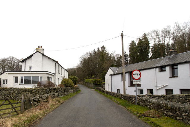
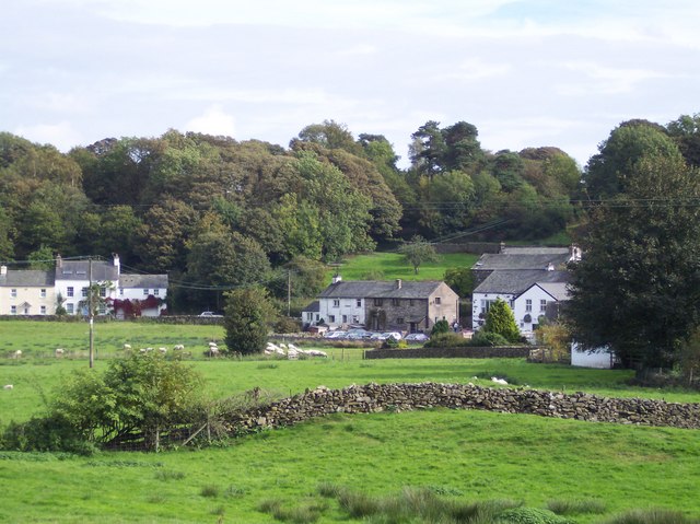
Bouth is a small village located in the South Lakeland district of Lancashire, in the northwest of England. Situated near the eastern shore of Lake Windermere, it is nestled within the picturesque countryside of the Lake District National Park. Bouth is approximately 6 miles north of the town of Ulverston and 15 miles southwest of Kendal.
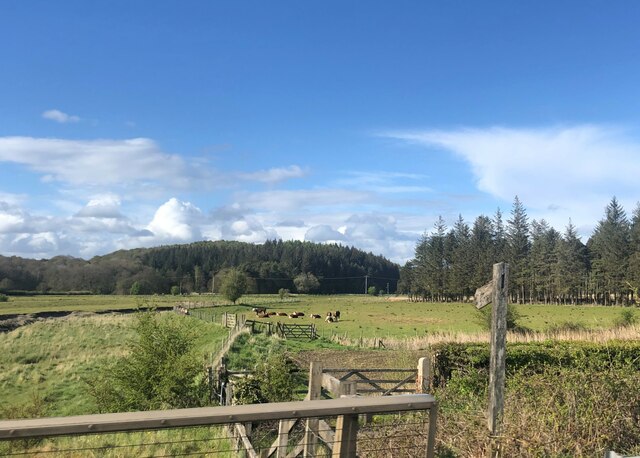
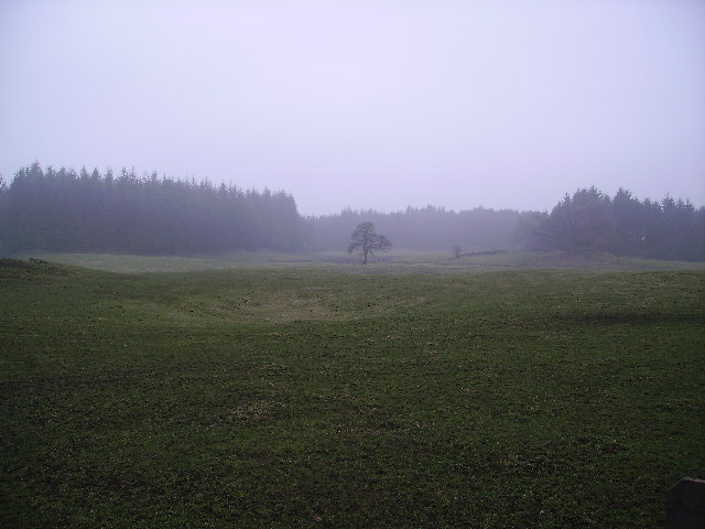
The village is characterized by its tranquil and idyllic setting, surrounded by rolling hills, lush green meadows, and dense forests. Bouth boasts a rich history, with evidence of settlements dating back to the Roman era. The name "Bouth" is derived from the Old Norse word "boltr," meaning "a house" or "a dwelling," emphasizing its long-standing residential nature.
Despite its small size, Bouth offers a range of amenities for both residents and visitors. The village is home to a charming church, St. John the Baptist, which dates back to the 19th century and features a striking bell tower. Additionally, there is a well-regarded primary school, ensuring educational facilities for local families.
For outdoor enthusiasts, Bouth provides ample opportunities for exploration and recreation. The surrounding countryside offers picturesque walking trails, inviting visitors to discover the area's natural beauty. The nearby Lake Windermere also offers water-based activities, such as boating, fishing, and sailing.
Although Bouth is a peaceful and rural village, it benefits from its proximity to larger towns and cities. Residents have access to amenities and services in nearby Ulverston, including supermarkets, shops, and healthcare facilities.
Overall, Bouth presents an attractive destination for those seeking a tranquil retreat amidst the stunning landscapes of the Lake District, while still enjoying the convenience of nearby urban areas.
If you have any feedback on the listing, please let us know in the comments section below.
Bouth Images
Images are sourced within 2km of 54.261372/-3.033162 or Grid Reference SD3285. Thanks to Geograph Open Source API. All images are credited.


Bouth is located at Grid Ref: SD3285 (Lat: 54.261372, Lng: -3.033162)
Administrative County: Cumbria
District: South Lakeland
Police Authority: Cumbria
What 3 Words
///gazes.dove.pinging. Near Ulverston, Cumbria
Nearby Locations
Related Wikis
Bouth
Bouth is a village in the South Lakeland district of Cumbria, England. Historically, it was part of the county of Lancashire. It is within the Lake District...

Holy Trinity Church, Colton
Holy Trinity Church is located to the east of the village of Colton, Cumbria, England. It is an active Anglican parish church in the deanery of Furness...
Colton, Cumbria
Colton is a village and civil parish in the South Lakeland district of Cumbria, England. In the 2001 census the parish had a population of 765, decreasing...

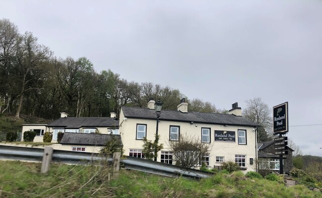
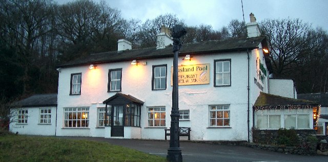
Rusland Pool
Rusland Pool is a small stream or beck running through the administrative county of Cumbria. Before 1974, Rusland Pool was in Lancashire. The source of...

Oxen Park
Oxen Park is a hamlet in the English county of Cumbria. Oxen Park lies on the watershed between Rusland and Colton Beck valleys in South Lakeland, and...

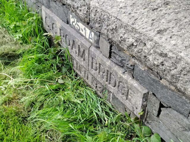
Spark Bridge
Spark Bridge is a former mill village in Cumbria, England, within the Lake District National Park, and within the historic boundaries of Lancashire. The...

A590 road
The A590 is a trunk road in southern Cumbria, in the north-west of England. It runs north-east to south-west from M6 junction 36, through the towns of...
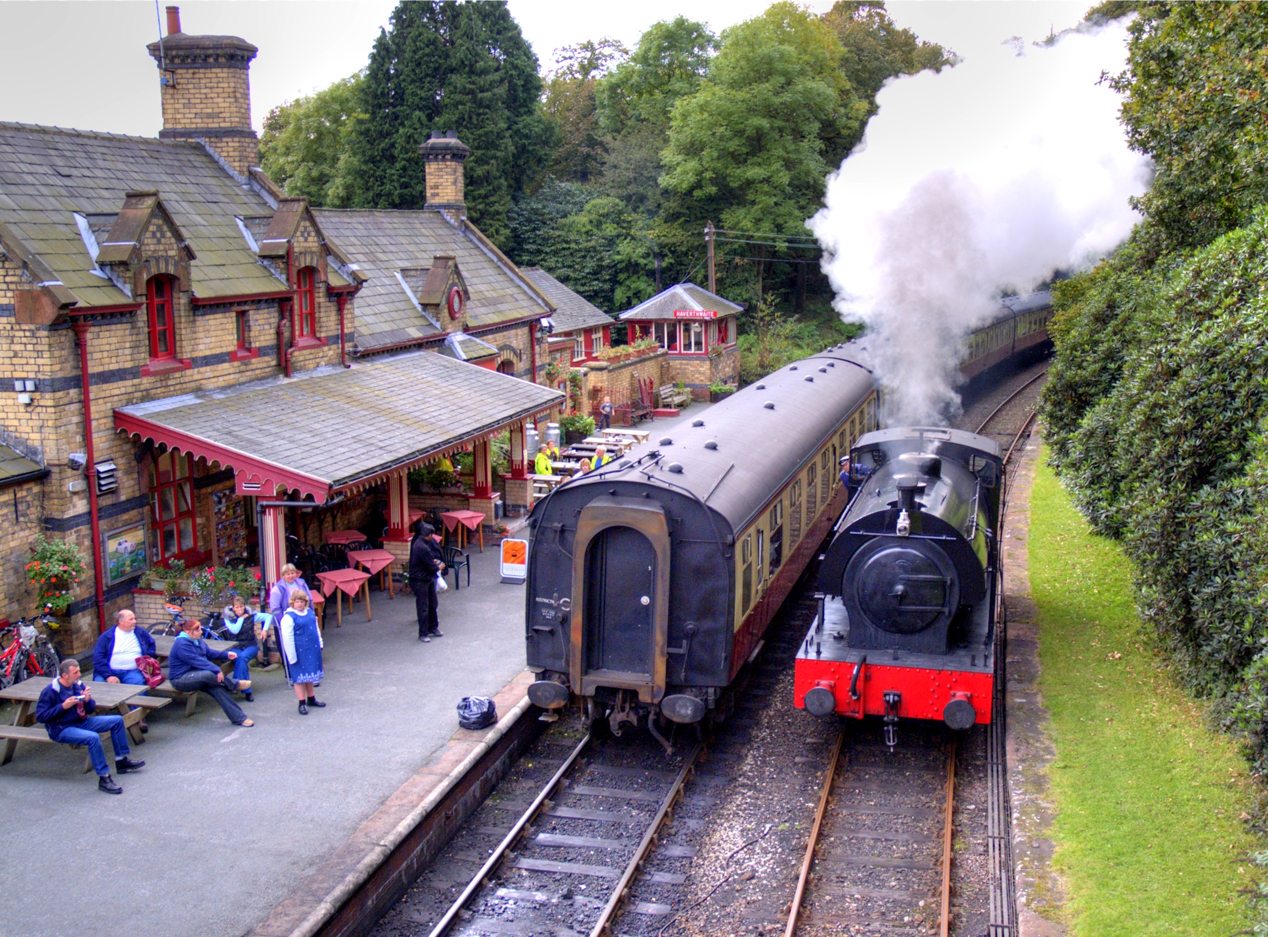
Haverthwaite railway station
Haverthwaite railway station is a railway station on the preserved Lakeside and Haverthwaite Railway in Cumbria, England. == History == The station opened...
Nearby Amenities
Located within 500m of 54.261372,-3.033162Have you been to Bouth?
Leave your review of Bouth below (or comments, questions and feedback).