Boustead Hill

Settlement in Cumberland Carlisle

England

Boustead Hill

Signpost at Boustead Hill Overlooking Burgh Marsh and the River Eden as it joins the Channel of the River Esk, and on the line of Hadrian's Wall.
Signpost at Boustead Hill Credit: M J Richardson

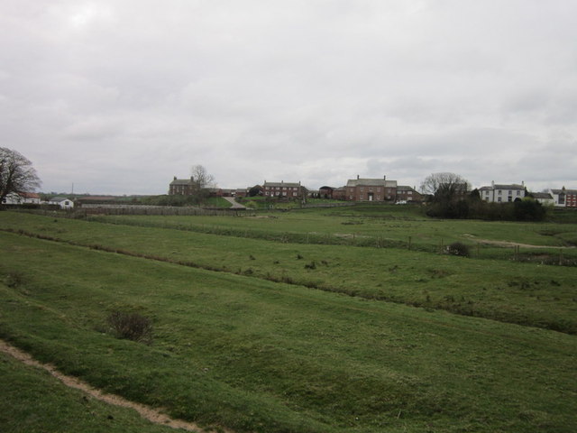
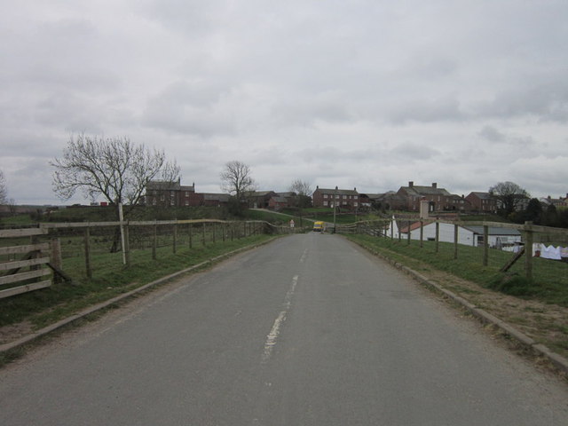
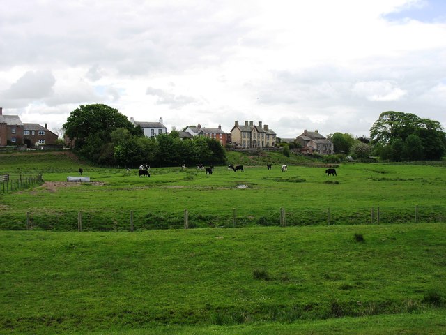
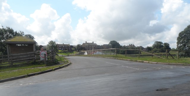
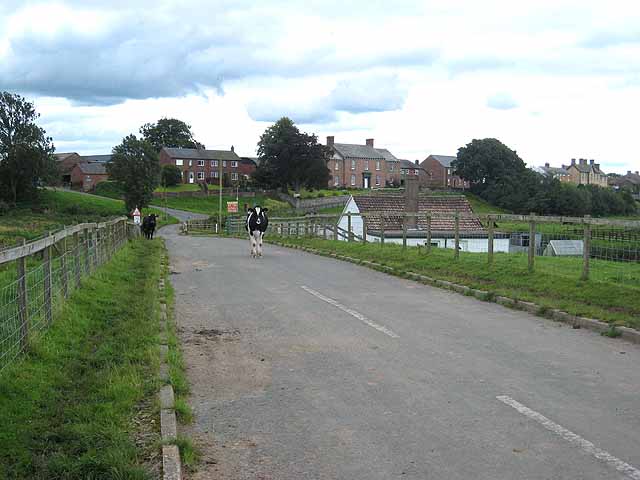
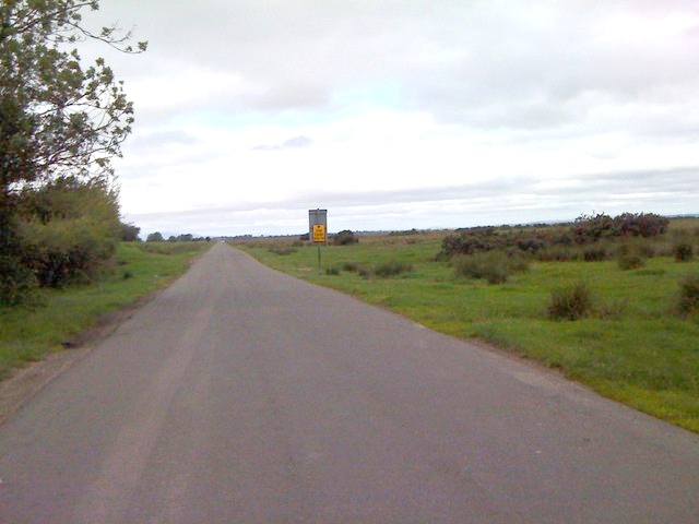
Boustead Hill is a small village located in the county of Cumberland, in the North West of England. Situated in the district of Allerdale, it lies in close proximity to the larger towns of Wigton and Aspatria. The village is set amidst beautiful countryside, with rolling hills and picturesque views.

Boustead Hill is home to a tight-knit community, with a population of around 300 residents. The village exudes a peaceful and tranquil atmosphere, making it an ideal place for those seeking a quieter way of life. The residents of Boustead Hill take great pride in their village, and there is a strong sense of community spirit.

The village itself is characterized by its charming stone-built houses and traditional architecture. There are also a number of historic buildings scattered throughout the area, including the St. John's Church, which dates back to the 12th century. The church is a prominent landmark in the village and serves as a gathering place for religious ceremonies and community events.

Despite its small size, Boustead Hill offers a range of amenities to its residents. These include a local pub, a small convenience store, and a primary school. For further services and amenities, residents can easily access the nearby towns of Wigton and Aspatria, which offer a wider range of facilities.

Overall, Boustead Hill is a charming and idyllic village that offers a peaceful retreat for its residents. With its stunning natural surroundings and strong community spirit, it is a place that many are proud to call home.

If you have any feedback on the listing, please let us know in the comments section below.

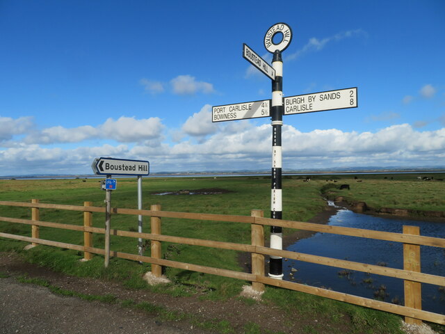
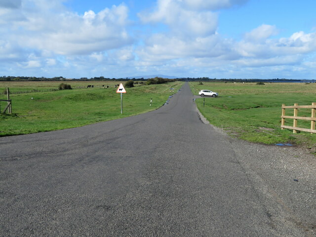
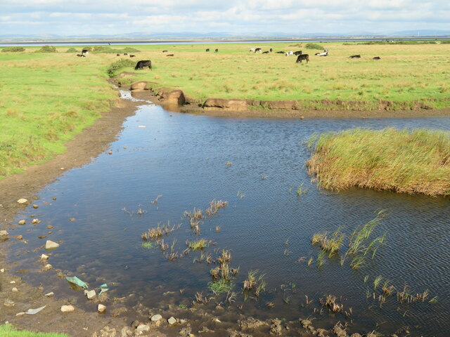
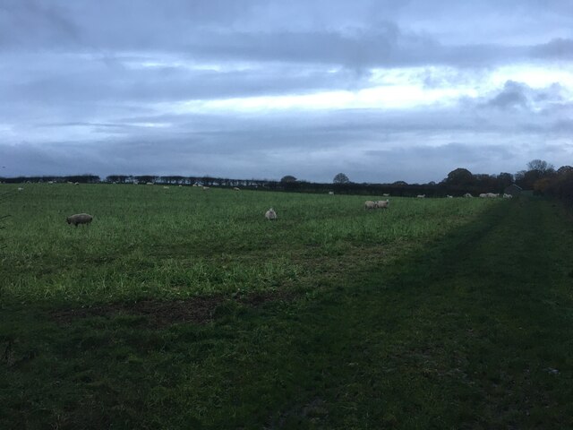
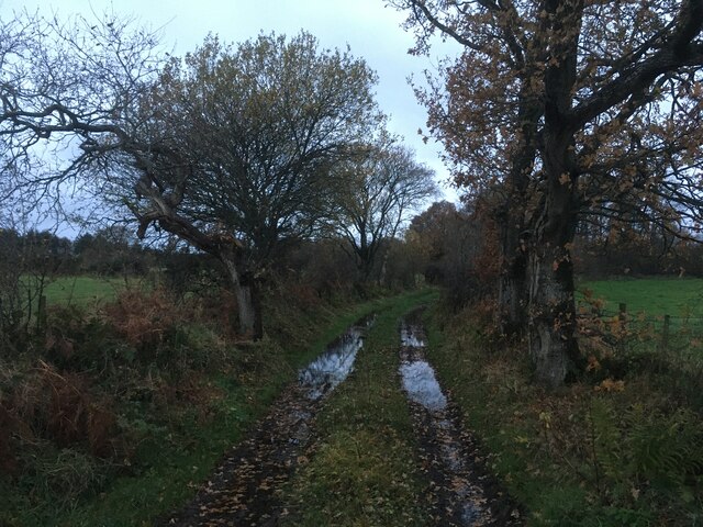
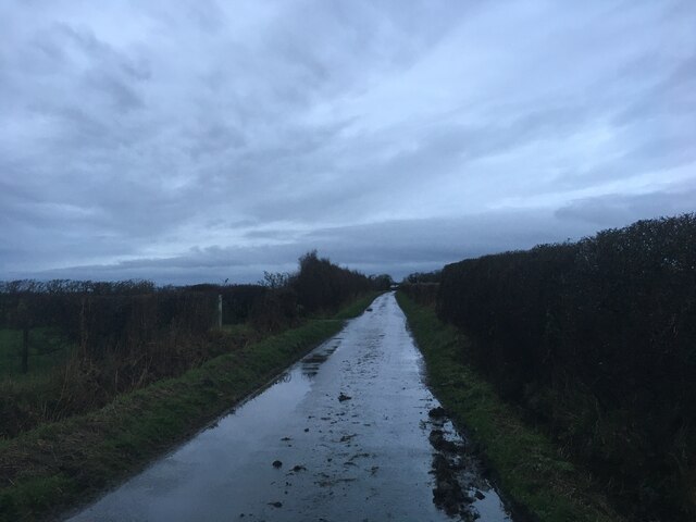
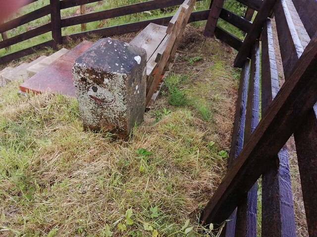
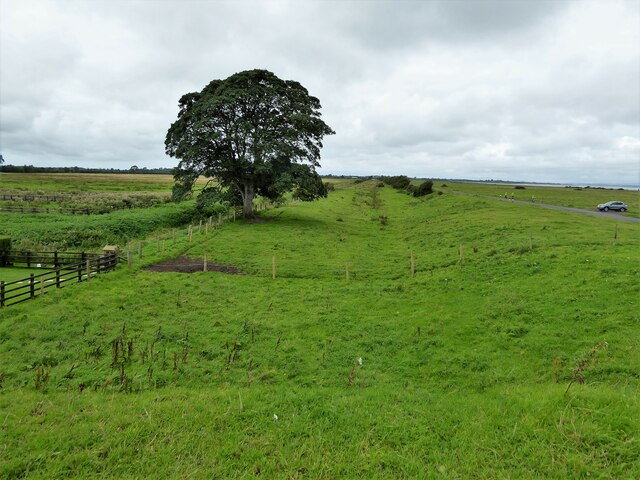
Boustead Hill Images

Images are sourced within 2km of 54.920898/-3.101481 or Grid Reference NY2959. Thanks to Geograph Open Source API. All images are credited.

Signpost at Boustead Hill Overlooking Burgh Marsh and the River Eden as it joins the Channel of the River Esk, and on the line of Hadrian's Wall.
Signpost at Boustead Hill
Overlooking Burgh Marsh and the River Eden as it joins the Channel of the River Esk, and on the line of Hadrian's Wall.
The road to Port Carlisle Heading west along the line of Hadrian's Wall from Boustead Hill. The indistinct hump on the horizon is Criffel, 34 km to the west, in Dumfries & Galloway across the Solway.
The road to Port Carlisle
Heading west along the line of Hadrian's Wall from Boustead Hill. The indistinct hump on the horizon is Criffel, 34 km to the west, in Dumfries & Galloway across the Solway.
Pool in Burgh Marsh Looking north across the marsh to the River Eden.
Pool in Burgh Marsh
Looking north across the marsh to the River Eden.
Sheep grazing near Kirkbampton
Farm track near Fingland Rigg
Minor road towards Boustead Hill
Cattlegrid on the road towards Drumburgh
Road towards Drumburgh
Canal Mile Marker, Boustead Hill Close to the route of the Carlisle Canal which was then laid to rail for the Carlisle and Silloth Branch of the North British Railway (NBR) opened 1854 see <span class="nowrap"><a title="https://en.wikipedia.org/wiki/Carlisle_and_Silloth_Bay_Railway" rel="nofollow ugc noopener" href="https://en.wikipedia.org/wiki/Carlisle_and_Silloth_Bay_Railway">Link</a><img style="margin-left:2px;" alt="External link" title="External link - shift click to open in new window" src="https://s1.geograph.org.uk/img/external.png" width="10" height="10"/></span>.

Inscription: 6

Milestone Society National ID: CAR-06
Canal Mile Marker, Boustead Hill
Close to the route of the Carlisle Canal which was then laid to rail for the Carlisle and Silloth Branch of the North British Railway (NBR) opened 1854 see LinkExternal link. Inscription: 6 Milestone Society National ID: CAR-06
Route of former railway The route of the Carlisle branch line to Silloth and Port Carlisle running close to the estuary and viewed from Boustead Hill Bridge. It was firstly also the route of the Carlisle Canal.
Route of former railway
The route of the Carlisle branch line to Silloth and Port Carlisle running close to the estuary and viewed from Boustead Hill Bridge. It was firstly also the route of the Carlisle Canal.
Walking east towards Burgh by Sands
Sluice gates near to Boustead Hill
Looking towards Boustead Hill
The road to Boustead Hill
Boustead Hill Beside the Solway Firth, a small village 10 metres above Mean Sea Level can well justify the word 'Hill' in its name.
Boustead Hill
Beside the Solway Firth, a small village 10 metres above Mean Sea Level can well justify the word 'Hill' in its name.
Fields near Easton Farm Fertile land south of the Solway Firth and behind the flood defences.
Fields near Easton Farm
Fertile land south of the Solway Firth and behind the flood defences.
Boustead Hill
Boustead Hill
The Solway Salt Marshes
Show me another place!

Boustead Hill is located at Grid Ref: NY2959 (Lat: 54.920898, Lng: -3.101481)

Administrative County: Cumbria

District: Carlisle

Police Authority: Cumbria

What 3 Words

///sometimes.noses.happening. Near Gretna, Dumfries & Galloway

Nearby Locations

Boustead Hill

Related Wikis

Boustead Hill

Boustead Hill is a hamlet in Cumbria, England. It has two separate equestrian centres. In 1831 the township had a population of 63.It is located close...

Milecastle 74

Milecastle 74 (Burgh Marsh) was one of a series of milecastles or small fortlets built at intervals of approximately one Roman mile along Hadrian's Wall...
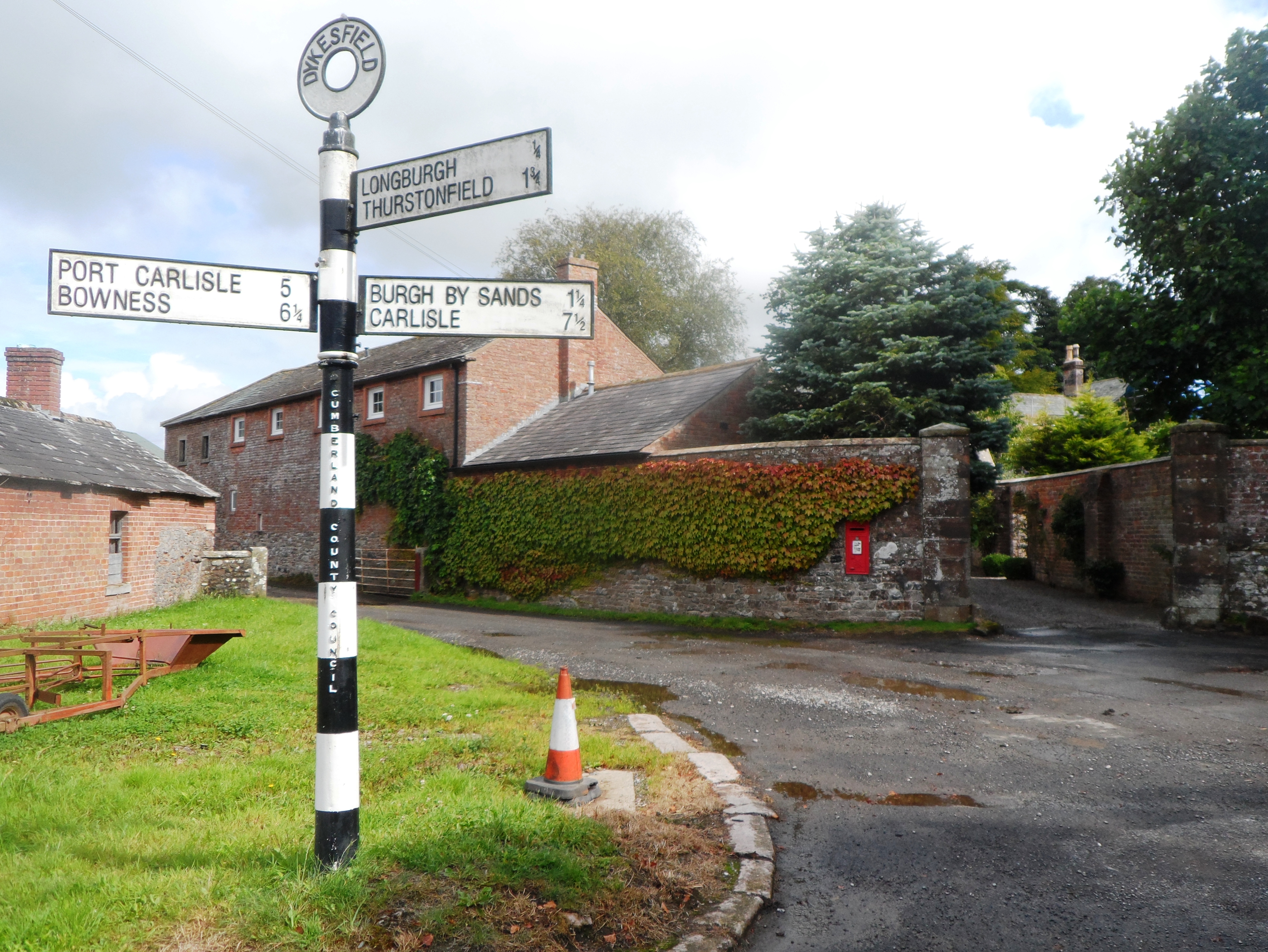
Dykesfield

Dykesfield is a hamlet in Cumbria, England. Occupied since at least Roman times, archaeological have excavated at Dykesfield. It contains Dykesfield House...

Longburgh

Longburgh is a hamlet in the civil parish of Burgh by Sands, in the City of Carlisle District, in the English county of Cumbria. Nearby settlements include...

Nearby Amenities

Located within 500m of 54.920898,-3.101481
Bus Stop
Road End (W bound)
Bus: yes
Naptan AtcoCode: 090033073653
Naptan Bearing: W
Naptan CommonName: Road End (W bound)
Naptan Indicator: near
Naptan Landmark: Bridge Cottage
Naptan NaptanCode: cumampgp
Naptan Street: No name
Naptan Verified: no
Public Transport: platform
Shelter: no
Source: naptan_import
Lat/Long: 54.9237565/-3.1020071
Bus Stop
Road End (E bound)
Bench: no
Bin: no
Bus: yes
Check Date Bench: 2023-06-23
Naptan AtcoCode: 090033073654
Naptan Bearing: E
Naptan CommonName: Road End (E bound)
Naptan Indicator: near
Naptan Landmark: Bridge Cottage
Naptan NaptanCode: cumampgt
Naptan Street: No name
Naptan Verified: no
Public Transport: platform
Shelter: no
Source: naptan_import
Lat/Long: 54.9238913/-3.1020108
Boustead Hill
Place: hamlet
Wikidata: Q4950415
Wikipedia: en:Boustead Hill
Lat/Long: 54.9214496/-3.103488
Post Box
Ref: CA5 18
Lat/Long: 54.9223634/-3.1021767
The data included in this document is from www.openstreetmap.org. The data is made available under ODbL.

Have you been to Boustead Hill?

Leave your review of Boustead Hill below (or comments, questions and feedback).