Tye Common
Settlement in Essex Basildon
England
Tye Common

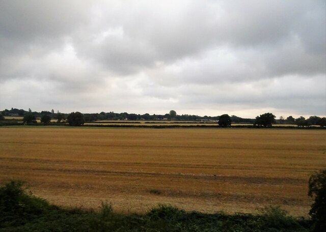
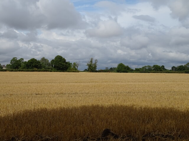
Tye Common is a rural area located in the county of Essex, England. Situated just outside the village of Stapleford Tawney, Tye Common covers approximately 50 acres of land. The area is characterized by its picturesque landscape, consisting of open fields, woodlands, and scattered ponds.
The common is a designated conservation area, known for its rich biodiversity and natural beauty. It is home to a variety of plant and animal species, including rare orchids and diverse birdlife. The woodlands provide a habitat for numerous mammals, such as deer and foxes, making it a popular spot for wildlife enthusiasts and nature lovers.
Tye Common offers several walking and cycling trails, providing visitors with an opportunity to explore the area's stunning countryside. The well-maintained paths wind through the fields and woods, offering panoramic views of the surrounding landscape. The common also features picnic areas, making it a perfect spot for a family day out or a peaceful retreat.
The area's historical significance is evident through the presence of ancient burial mounds, known as tumuli, which date back to the Bronze Age. These archaeological sites provide insights into the region's past, attracting history enthusiasts and researchers.
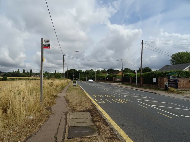
Tye Common is well-connected to nearby towns and villages, with good transport links allowing easy access for visitors. Its serene and tranquil atmosphere, coupled with its natural beauty and historical significance, make Tye Common a cherished location for locals and tourists alike.
If you have any feedback on the listing, please let us know in the comments section below.
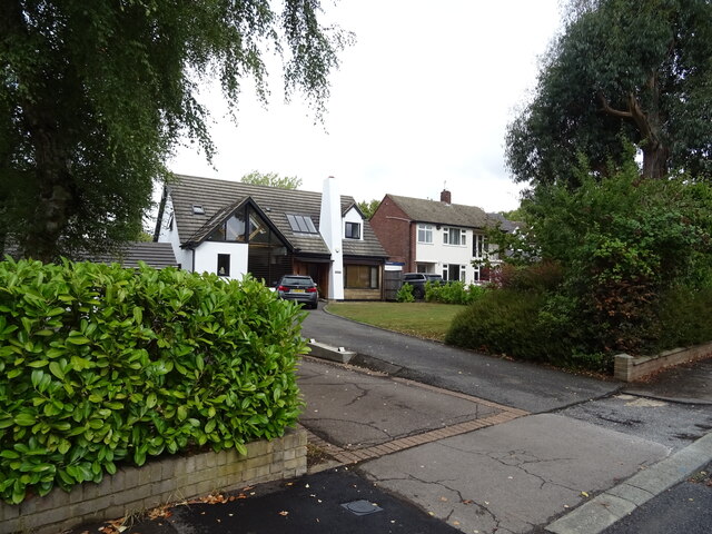
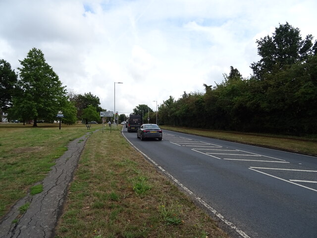
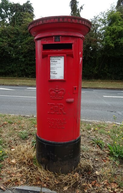
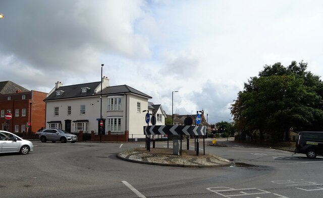
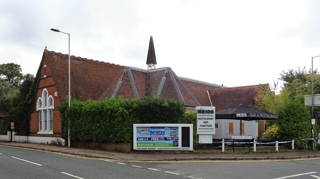
Tye Common Images
Images are sourced within 2km of 51.618121/0.405421 or Grid Reference TQ6693. Thanks to Geograph Open Source API. All images are credited.


Tye Common is located at Grid Ref: TQ6693 (Lat: 51.618121, Lng: 0.405421)
Administrative County: Essex
District: Basildon
Police Authority: Essex
What 3 Words
///ranked.remit.axed. Near Billericay, Essex
Nearby Locations
Related Wikis

Hutton F.C.
Hutton Football Club is a football club based in Hutton, England. They are currently members of the Eastern Counties League Division One South and play...
Billericay Town F.C.
Billericay Town Football Club is a football club based in Billericay, Essex, England. The club are currently members of the Isthmian League Premier Division...
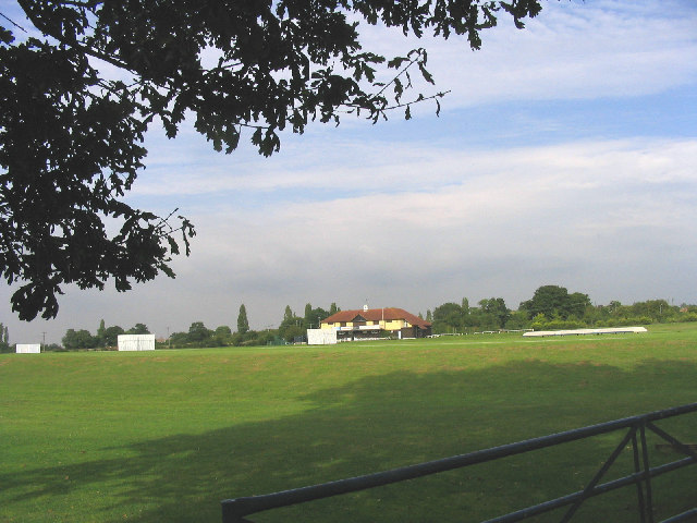
Toby Howe Cricket Ground
Toby Howe Cricket Ground is a cricket ground in Billericay, Essex. The first recorded match on the ground was in 1999, when Billericay Cricket Club played...
The Billericay School
The Billericay School is an academy secondary school and sixth form college located in Billericay, England. The school is led by headmaster Patrick Berry...
Nearby Amenities
Located within 500m of 51.618121,0.405421Have you been to Tye Common?
Leave your review of Tye Common below (or comments, questions and feedback).