Tye

Settlement in Hampshire Havant

England

Tye

North Hayling, St Peter
North Hayling, St Peter Credit: Dave Kelly

Tye is a small village located in the county of Hampshire, England. Situated in the South Downs National Park, it is surrounded by picturesque countryside and offers a tranquil and idyllic setting for residents and visitors alike. The village is located approximately 12 miles east of Winchester and 8 miles southwest of Alton, making it easily accessible by road.

Tye is known for its charming and traditional architecture, with many of its buildings dating back several centuries. The village features a mix of thatched cottages, timber-framed houses, and red brick buildings, creating a unique and quintessentially English atmosphere. The village center is home to a few local amenities, including a village shop, a post office, and a pub, providing essential services and a sense of community.

Surrounded by rolling hills and beautiful countryside, Tye is a popular destination for outdoor enthusiasts. The village is blessed with numerous walking and cycling trails, allowing visitors to explore the stunning natural surroundings. The South Downs Way, a long-distance trail that stretches from Winchester to Eastbourne, passes nearby, offering breathtaking views of the South Downs landscape.

Despite its small size, Tye has a strong sense of community and hosts various events throughout the year, including a summer fete and a Christmas market. The village also benefits from a primary school, ensuring that families have access to quality education within the local area.

In conclusion, Tye is a charming village nestled in the Hampshire countryside, offering a peaceful and picturesque retreat with its historic architecture, stunning landscapes, and strong community spirit.

If you have any feedback on the listing, please let us know in the comments section below.
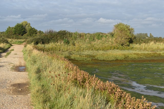
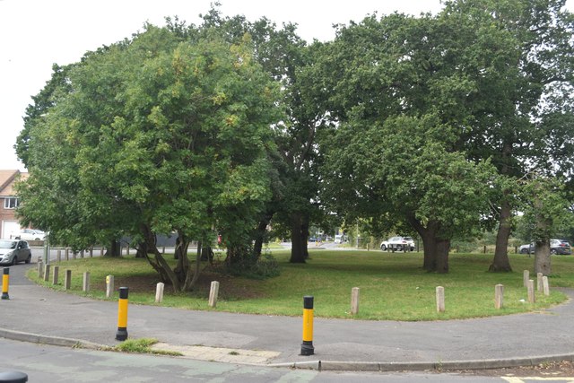
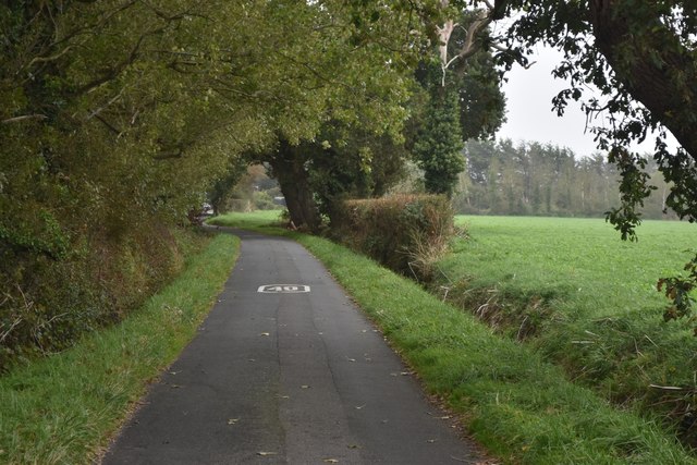
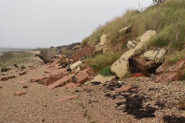
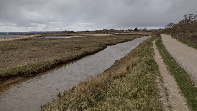
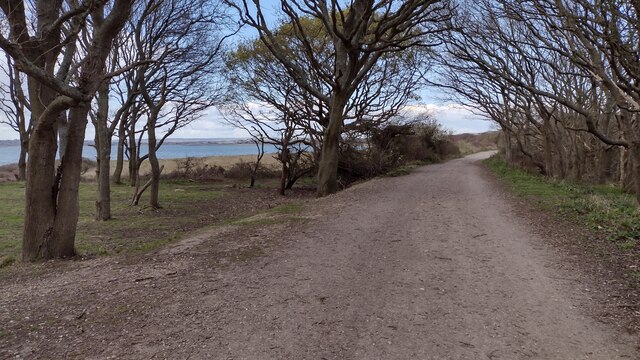
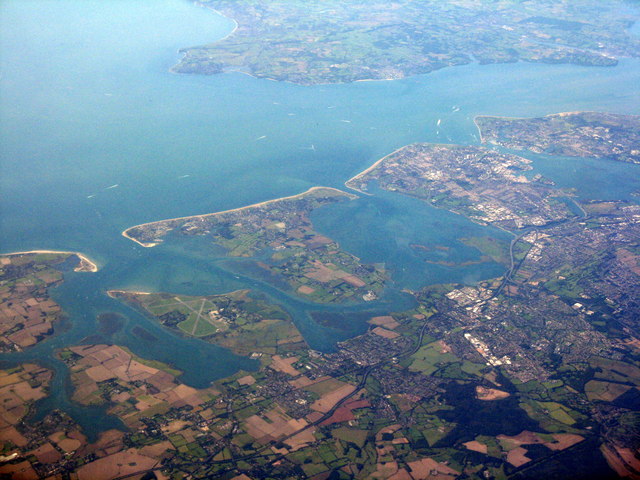
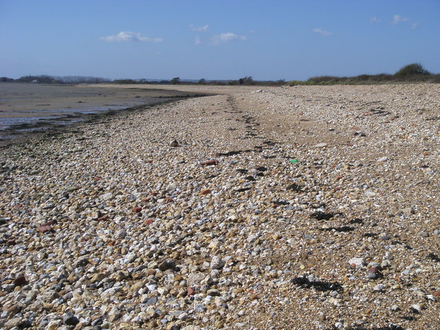
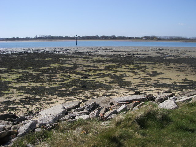
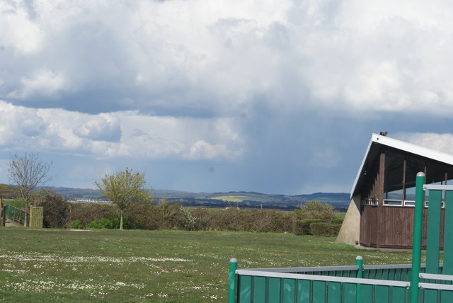
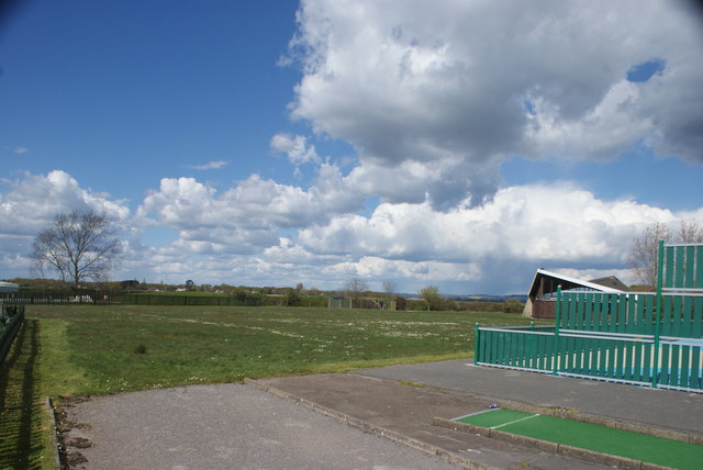
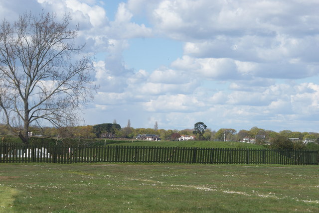
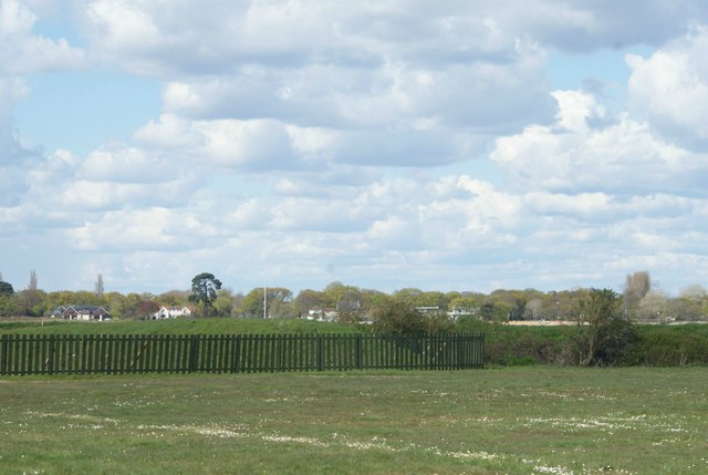
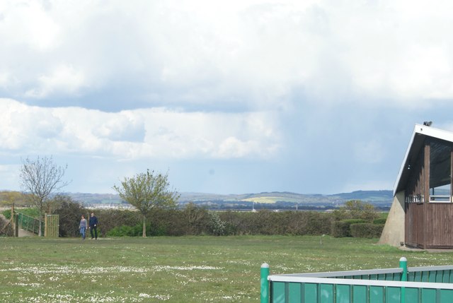
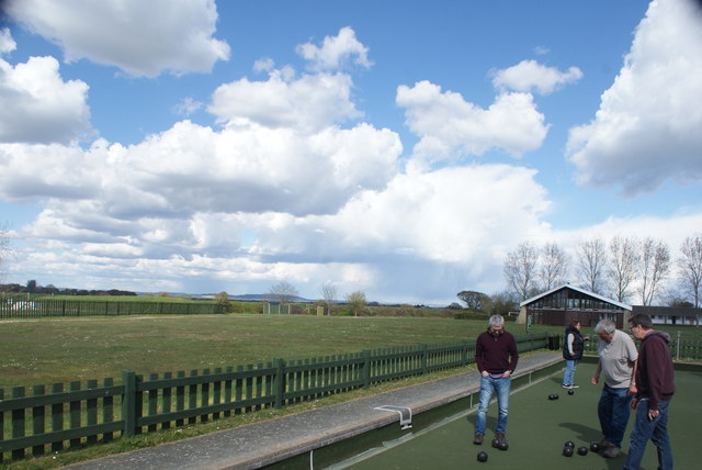
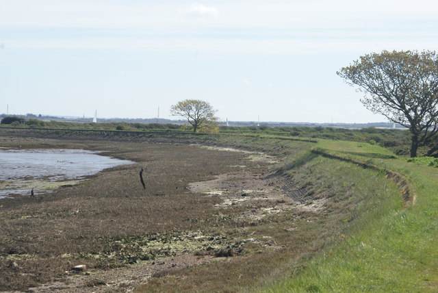
Tye Images

Images are sourced within 2km of 50.816028/-0.963722 or Grid Reference SU7302. Thanks to Geograph Open Source API. All images are credited.

North Hayling, St Peter
Evening sunlight at Mill Rythe Creek Photographed from within the caravan site: not a public path.
Evening sunlight at Mill Rythe Creek
Photographed from within the caravan site: not a public path.
Wooded green area beside Havant Road Outside Mill Rythe infant and junior schools.
Wooded green area beside Havant Road
Outside Mill Rythe infant and junior schools.
Daw Lane
Daw Lane
Dropped defences Second World War coastal defences collapsed onto the beach beside the Hayling Billy route.
Dropped defences
Second World War coastal defences collapsed onto the beach beside the Hayling Billy route.
Hayling Billy Line The Hayling Billy Line path heading to the Victoria Road car park
Hayling Billy Line
The Hayling Billy Line path heading to the Victoria Road car park
Hayling Billy Line Hayling Billy Line path heading to Victoria Road car park
Hayling Billy Line
Hayling Billy Line path heading to Victoria Road car park
Hayling Island viewed from above the South Downs With the Isle of Wight and The Solent beyond. Thorney Island, with the airfield, is on the left.
Hayling Island viewed from above the South Downs
With the Isle of Wight and The Solent beyond. Thorney Island, with the airfield, is on the left.
Pebbly Beach Pebbly beach heading around to Marker Point in the distance
Pebbly Beach
Pebbly beach heading around to Marker Point in the distance
Marker Point Marker Point looking out to the marker in the Emsworth Channel
Marker Point
Marker Point looking out to the marker in the Emsworth Channel
View of hills on Thorney Island from Mill Rythe Holiday Village Looking north-northeast.
View of hills on Thorney Island from Mill Rythe Holiday Village
Looking north-northeast.
View of hills on Thorney Island from Mill Rythe Holiday Village #2 Looking north-northeast.
View of hills on Thorney Island from Mill Rythe Holiday Village #2
Looking north-northeast.
View of houses on Mill Rithe from Mill Rythe Holiday Village Looking northeast.
View of houses on Mill Rithe from Mill Rythe Holiday Village
Looking northeast.
View of houses on Mill Rithe from Mill Rythe Holiday Village #2 Looking north-northeast.
View of houses on Mill Rithe from Mill Rythe Holiday Village #2
Looking north-northeast.
View of houses on Mill Rithe from Mill Rythe Holiday Village #3 Looking north-northwest.
View of houses on Mill Rithe from Mill Rythe Holiday Village #3
Looking north-northwest.
View of hills on Thorney Island from Mill Rythe Holiday Village #3 Looking north-northeast.
View of hills on Thorney Island from Mill Rythe Holiday Village #3
Looking north-northeast.
View of hills on Thorney Island from Mill Rythe Holiday Village #4 Looking north-northeast.
View of hills on Thorney Island from Mill Rythe Holiday Village #4
Looking north-northeast.
View of sailing boats on Stocker's Lake from the coastal path next to Mill Rythe Holiday Village Looking south-southeast.
View of sailing boats on Stocker's Lake from the coastal path next to Mill Rythe Holiday Village
Looking south-southeast.
Show me another place!

Tye is located at Grid Ref: SU7302 (Lat: 50.816028, Lng: -0.963722)

Administrative County: Hampshire

District: Havant

Police Authority: Hampshire

What 3 Words

///ourselves.seasick.canyons. Near South Hayling, Hampshire

Nearby Locations

Tye

Related Wikis

Gutner Point

Gutner Point is a 69-hectare (170-acre) Local Nature Reserve on Hayling Island in Hampshire. It is owned by Hampshire County Council and managed by Hampshire...

Havant (UK Parliament constituency)

Havant () is a constituency in Hampshire represented in the House of Commons of the UK Parliament since 2015 by Alan Mak, a member of the Conservative...

Stoke, Hayling Island

Stoke is a village on Hayling Island in the Havant district, in the county of Hampshire, England. The village lies on the Havant A3023 road between North...

Fleet, Hayling Island

Fleet is a hamlet near Stoke on Hayling Island in Hampshire, England. The hamlet lies approximately 5.1 miles (8.2 km) east from Portsmouth and 1.6 miles...

Nearby Amenities

Located within 500m of 50.816028,-0.963722
Created By: almien_coastlines
Source: PGS
Lat/Long: 50.8163096/-0.9571141
Created By: almien_coastlines
Source: PGS
Lat/Long: 50.815543/-0.957654
Created By: almien_coastlines
Source: PGS
Lat/Long: 50.815023/-0.957272
Bus Stop
Tye Caravan Park
Bus: yes
Naptan AtcoCode: 1900HA070077
Naptan Bearing: W
Naptan CommonName: Tye Caravan Park
Naptan NaptanCode: hamgpawd
Naptan PlusbusZoneRef: HAVANT
Naptan Street: Copse Lane
Naptan Verified: no
Public Transport: platform
Source: naptan_import
Lat/Long: 50.8136044/-0.9669404
Bus Stop
Tye Caravan Park
Bus: yes
Naptan AtcoCode: 1900HA070078
Naptan Bearing: E
Naptan CommonName: Tye Caravan Park
Naptan NaptanCode: hamgpawa
Naptan PlusbusZoneRef: HAVANT
Naptan Street: Copse Lane
Naptan Verified: no
Public Transport: platform
Source: naptan_import
Lat/Long: 50.8136511/-0.9669616
Tye
Is In: Hampshire
Place: village
Source: npe
Lat/Long: 50.8158661/-0.9628036
Post Box
Collection Plate: CP7
Collection Times: Mo-Fr 17:45; Sa 11:15
Post Box Type: lamp
Ref: PO11 58
Royal Cypher: EIIR
Royal Cypher Wikidata: Q33102113
Lat/Long: 50.8163666/-0.9626797
Board Type: information
Image: https://photos.app.goo.gl/2XV35K4hTbQJhpHk7
Information: board
Operator: Hampshire County Council
Tourism: information
Lat/Long: 50.8181456/-0.9617427
The data included in this document is from www.openstreetmap.org. The data is made available under ODbL.

Have you been to Tye?

Leave your review of Tye below (or comments, questions and feedback).