Tye Green
Settlement in Essex Harlow
England
Tye Green
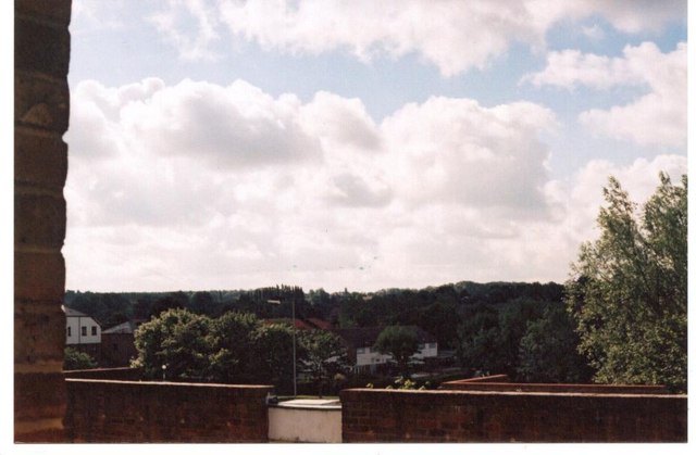
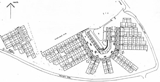
Tye Green is a small village located in the county of Essex, in the eastern part of England. Situated near the town of Harlow, Tye Green is a primarily residential area with a population of around 3,000 people. The village is known for its peaceful and picturesque surroundings, featuring a combination of quaint cottages, modern houses, and green open spaces.
One of the notable features of Tye Green is its close proximity to the River Stort, which runs alongside the village. This scenic river provides residents with beautiful views and recreational opportunities, including fishing and boating. Additionally, Tye Green benefits from its location near the Harlow Town Park, a large public park that offers various amenities such as playgrounds, sports facilities, and walking trails.
The village is well-connected to surrounding areas, with easy access to major road networks such as the M11 and A414. This makes Tye Green an attractive place to live for commuters working in nearby towns and cities. Additionally, the village has its own primary school, offering education for children in the local area.
Tye Green enjoys a sense of community spirit, with various events and activities organized throughout the year, including summer fairs and Christmas markets. The village also has a local pub and a few shops, providing basic amenities for residents.
Overall, Tye Green offers a peaceful and friendly environment for its residents, combining the tranquility of a rural village with the convenience of nearby urban areas.
If you have any feedback on the listing, please let us know in the comments section below.
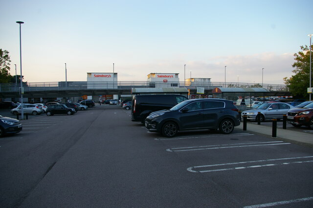
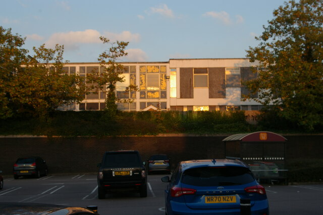
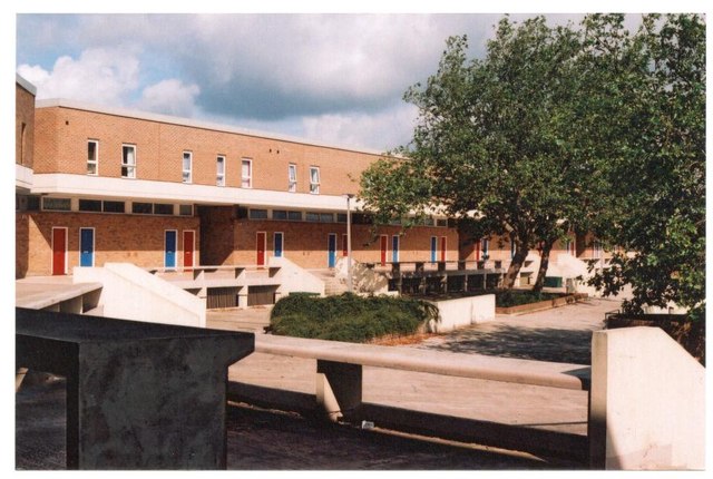
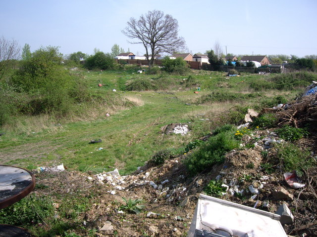
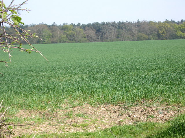
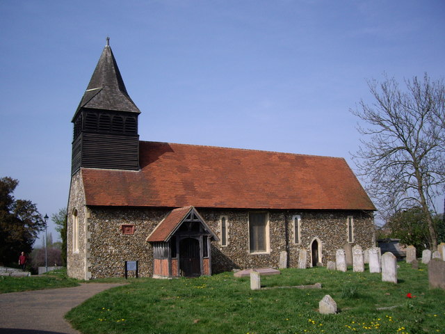
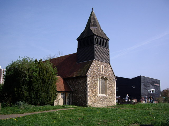
Tye Green Images
Images are sourced within 2km of 51.760803/0.108336 or Grid Reference TL4509. Thanks to Geograph Open Source API. All images are credited.


Tye Green is located at Grid Ref: TL4509 (Lat: 51.760803, Lng: 0.108336)
Administrative County: Essex
District: Harlow
Police Authority: Essex
What 3 Words
///tries.daring.ruler. Near Harlow, Essex
Nearby Locations
Related Wikis
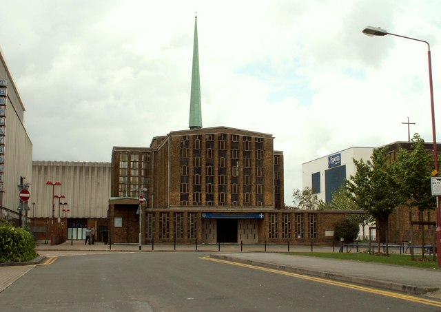
St Mark's West Essex Catholic School
St Mark's West Essex Catholic School is a Roman Catholic secondary school and sixth form with academy status located in Harlow, Essex, England. The school...

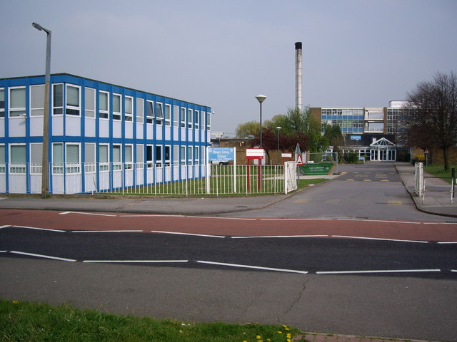
Brays Grove Community School
Brays Grove Community School was a mixed secondary school located within the town of Harlow in Essex, England. The school was closed in 2008 due to falling...

Passmores Academy
Passmores Academy is a 11-16 secondary school in Harlow, Essex.The academy has an annual intake of 240 pupils in Year 7, and approximately 1,000 pupils...
BMAT STEM Academy
BMAT STEM Academy is a University Technical College within the Harlow College campus in Harlow, Essex, England, which opened in September 2014 as Sir Charles...
Harlow College
Harlow College is a further education college in Harlow, Essex, England. This medium-sized college has 5,900 students as of 2018 of which 2,585 are on...
Stewards Academy
Stewards Academy (formerly Stewards Schools) is an 11–16 mixed secondary school with academy status in Harlow, Essex, England. == References == == External... ==

Harlow (UK Parliament constituency)
Harlow is a constituency represented in the House of Commons of the UK Parliament since 2010 by Robert Halfon, a Conservative. == Constituency profile... ==
Harlow Jewish Community
Harlow Jewish Community, a member of the Movement for Reform Judaism, is a Reform Jewish congregation whose synagogue is at Harberts Road, Harlow, in Essex...
Nearby Amenities
Located within 500m of 51.760803,0.108336Have you been to Tye Green?
Leave your review of Tye Green below (or comments, questions and feedback).