Tydd St Giles

Settlement in Cambridgeshire Fenland

England

Tydd St Giles

Former school, Tydd St. Giles This has been derelict for a number of years and nature is taking over. For a view of January 2011 see <a href="https://www.geograph.org.uk/photo/2222797">TF4216 : Church Lane in Tydd St Giles</a>
Former school, Tydd St. Giles Credit: Jonathan Thacker

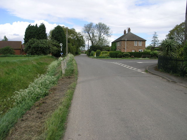
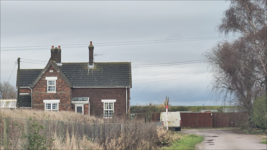
Tydd St Giles is a small village located in the county of Cambridgeshire, England. Situated approximately 7 miles north of Wisbech, it falls within the Fenland district. As of the 2011 census, the village had a population of around 1,300 residents.

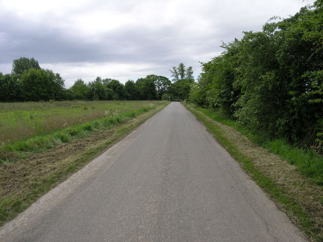
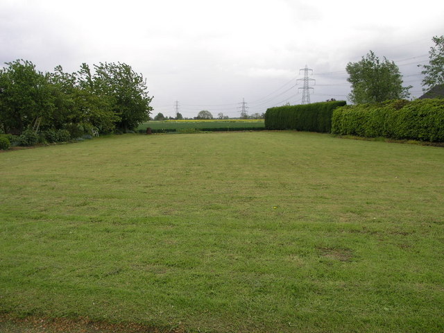
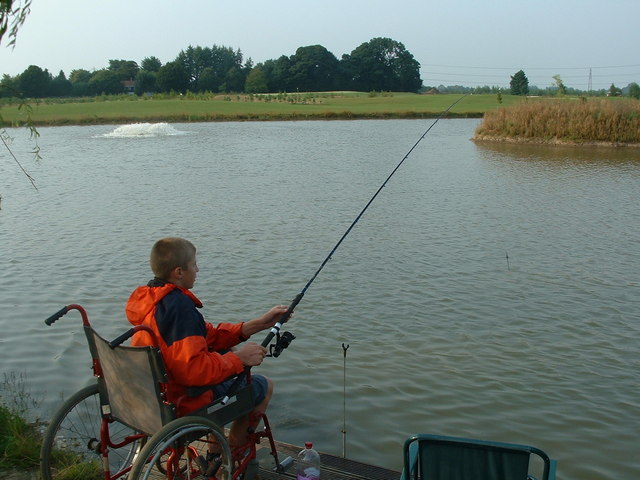
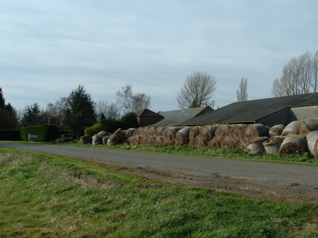
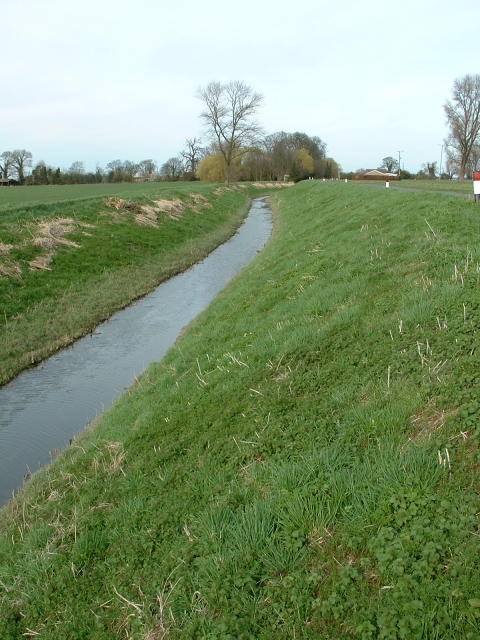
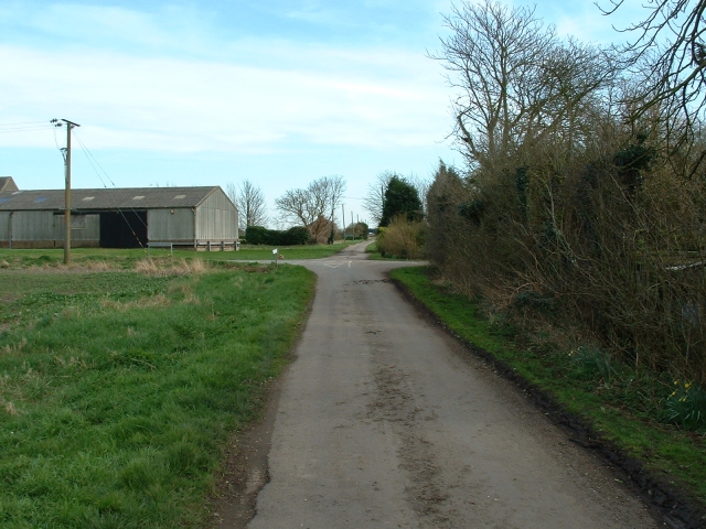
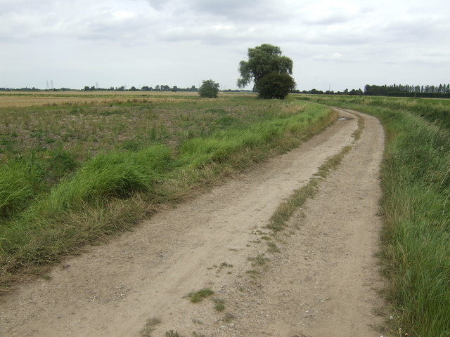
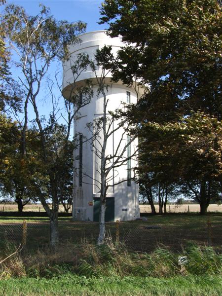
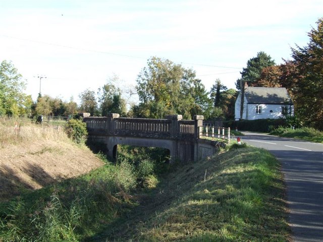
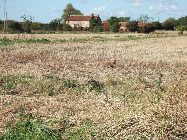
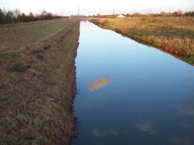
The village is known for its picturesque surroundings, with vast stretches of flat fenland countryside and charming waterways. It lies on the banks of the River Nene, offering scenic views and recreational opportunities for residents and visitors alike. The area is also dotted with numerous drainage channels, known as dykes, which are characteristic of the fenland landscape.

Tydd St Giles is home to an impressive 18-hole golf course, which attracts golf enthusiasts from near and far. The golf course features well-maintained fairways, challenging holes, and beautiful landscaping, making it a popular destination for both experienced players and beginners looking to enjoy a round of golf.

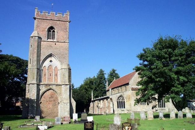
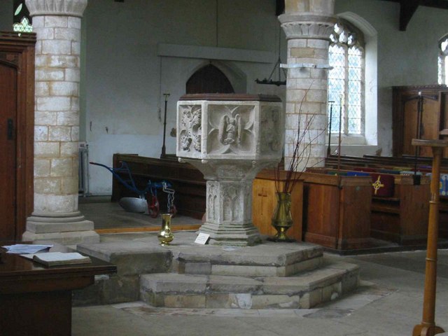
The village has a close-knit community and a range of amenities to cater to the needs of its residents. These include a primary school, a village hall, a post office, and a local pub. The village also has a rich historical heritage, with notable landmarks such as St. Giles' Church, a Grade I listed building dating back to the 14th century.

Overall, Tydd St Giles offers a tranquil and idyllic setting for those seeking a peaceful countryside lifestyle, while still being within easy reach of nearby towns and cities such as Wisbech and Peterborough.

If you have any feedback on the listing, please let us know in the comments section below.

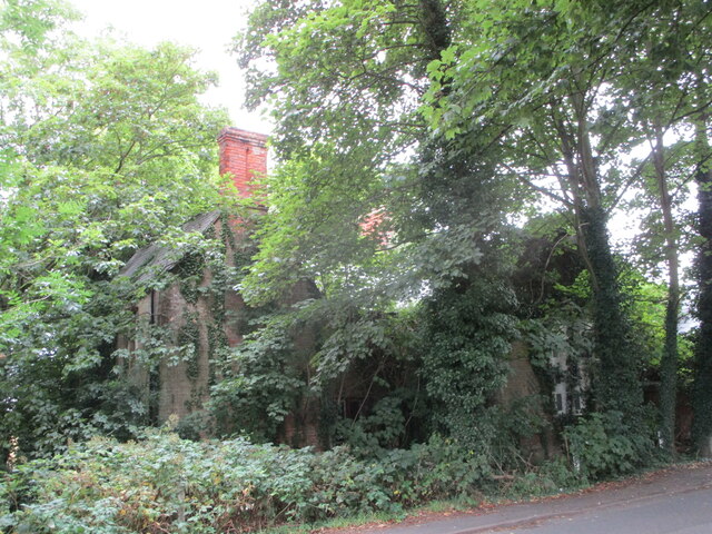
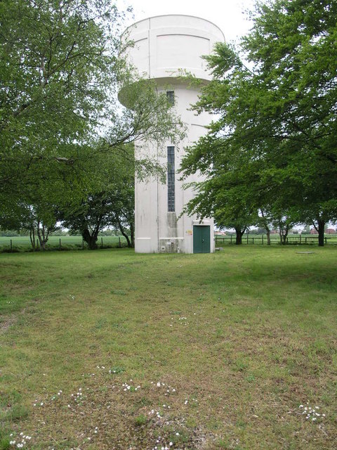
Tydd St Giles Images

Images are sourced within 2km of 52.727769/0.11144089 or Grid Reference TF4216. Thanks to Geograph Open Source API. All images are credited.

Former school, Tydd St. Giles This has been derelict for a number of years and nature is taking over. For a view of January 2011 see <a href="https://www.geograph.org.uk/photo/2222797">TF4216 : Church Lane in Tydd St Giles</a>
Former school, Tydd St. Giles
This has been derelict for a number of years and nature is taking over. For a view of January 2011 see TF4216 : Church Lane in Tydd St Giles
Tydd St. Giles Church
Newton Tower Newton water tower is so well kept in its own grounds that when it features on Grand Designs in a few years from now all the new owners will have to do is move in.
Newton Tower
Newton water tower is so well kept in its own grounds that when it features on Grand Designs in a few years from now all the new owners will have to do is move in.
Lane to Tretton Manor Tretton (Tritton 1940s OS) Manor Farm is just to the right at the end of this lane.
Lane to Tretton Manor
Tretton (Tritton 1940s OS) Manor Farm is just to the right at the end of this lane.
Missing House This piece of land is sandwiched between two other properties and appears to have been overlooked, at least for now, by the developers.
Missing House
This piece of land is sandwiched between two other properties and appears to have been overlooked, at least for now, by the developers.
Tydd St Mary The west end of Tydd St Mary is home to part of Route 1 of the National Cycle Network which takes a right turn here.  The road sign is marked with Holland CC (County Council)
Tydd St Mary
The west end of Tydd St Mary is home to part of Route 1 of the National Cycle Network which takes a right turn here. The road sign is marked with Holland CC (County Council)
Fishing Lake, Tydd St Giles Golf Course The lake acts as a water hazard between holes - anglers beware!
Fishing Lake, Tydd St Giles Golf Course
The lake acts as a water hazard between holes - anglers beware!
The six sided 15th C font at St Giles
Outbuildings at Manor Hill Farm. There appears to be neither Manor nor Hill at this prosperous 19th century farm deep in the flatlands of South Holland, Lincolnshire.
Outbuildings at Manor Hill Farm.
There appears to be neither Manor nor Hill at this prosperous 19th century farm deep in the flatlands of South Holland, Lincolnshire.
Shire Drain, near Tydd St Giles This was a medieval drain which ran through the North Level into the Nene washes. It was also called Lady Nunne's Old Eau, after the wife of local nobleman. It was replaced, in 1828. by the much wider, deeper and straighter North Level Main Drain. In places, the Shire Drain is scarcely discernible, but here it is clear and still functioning, particularly after heavy late winter rains.
Shire Drain, near Tydd St Giles
This was a medieval drain which ran through the North Level into the Nene washes. It was also called Lady Nunne's Old Eau, after the wife of local nobleman. It was replaced, in 1828. by the much wider, deeper and straighter North Level Main Drain. In places, the Shire Drain is scarcely discernible, but here it is clear and still functioning, particularly after heavy late winter rains.
Crossroads, Black Dyke A quiet crossroads in the heart of the south Lincolnshire flatlands.
Crossroads, Black Dyke
A quiet crossroads in the heart of the south Lincolnshire flatlands.
Track to Mud Croft A very small sewage works is just around this bend.
Track to Mud Croft
A very small sewage works is just around this bend.
Newton Water Tower
Newton Water Tower
Tretton Bridge
Tretton Bridge
Stubble field near Four Gotes
Reflected cloud The North Level Main Drain near Tydd St Giles Golf Centre
Reflected cloud
The North Level Main Drain near Tydd St Giles Golf Centre
The 5th green, Tydd St Giles golf course A view of the green looking back towards the tee which is at the far end of the lake. A difficult par 4.   <span class="nowrap"><a title="http://www.tyddgolf.co.uk/" rel="nofollow ugc noopener" href="http://www.tyddgolf.co.uk/">Link</a><img style="margin-left:2px;" alt="External link" title="External link - shift click to open in new window" src="https://s1.geograph.org.uk/img/external.png" width="10" height="10"/></span>
The 5th green, Tydd St Giles golf course
A view of the green looking back towards the tee which is at the far end of the lake. A difficult par 4. LinkExternal link
Red - Yellow - Green Bushes and trees at the back of the 5th tee on Tydd St Giles Golf Centre.   <span class="nowrap"><a title="http://www.tyddgolf.co.uk/" rel="nofollow ugc noopener" href="http://www.tyddgolf.co.uk/">Link</a><img style="margin-left:2px;" alt="External link" title="External link - shift click to open in new window" src="https://s1.geograph.org.uk/img/external.png" width="10" height="10"/></span>
Red - Yellow - Green
Bushes and trees at the back of the 5th tee on Tydd St Giles Golf Centre. LinkExternal link
Show me another place!

Tydd St Giles is located at Grid Ref: TF4216 (Lat: 52.727769, Lng: 0.11144089)

Division: Isle of Ely

Administrative County: Cambridgeshire

District: Fenland

Police Authority: Cambridgeshire

What 3 Words

///graceful.dares.rewrites. Near West Walton, Norfolk

Nearby Locations

New Field Tydd St Giles

Related Wikis

Tydd St Giles

Tydd St Giles is a village in Fenland, Cambridgeshire, England. It is the northernmost village in the Isle of Ely, Cambridgeshire (bordering Lincolnshire...

Four Gotes

Four Gotes is a hamlet in the civil parish of Tydd St Giles in Cambridgeshire, England. The population is included in the civil parish of Leverington....

Newton-in-the-Isle

Newton-in-the-Isle is a village and civil parish in the Fenland District of the Isle of Ely, Cambridgeshire, England, The village is 4 miles (6 km) to...

Tydd St Mary

Tydd St Mary is a village and civil parish in the South Holland district of Lincolnshire, England, about 9 miles (14 km) east of the town of Spalding and...

Tydd Gote

Tydd Gote is an English village, partly, at the north, in the civil parish of Tydd St Mary of the South Holland District of Lincolnshire, and partly, at...

Sutton St James

Sutton St James is a village and civil parish in the South Holland district of Lincolnshire, England, about four miles (6.4 km) south-west of Long Sutton...

Ferry railway station

Ferry railway station was a railway station in Newton-in-the-Isle, Cambridgeshire. It was on the Midland and Great Northern Joint Railway between Sutton...

Tydd railway station

Tydd railway station was a station, opened by the Peterborough, Wisbech and Sutton Bridge Railway on 1 August 1866, in Lincolnshire serving the villages...

Nearby Amenities

Located within 500m of 52.727769,0.11144089
Tydd St Giles
Is In: Cambridgeshire
Place: village
Lat/Long: 52.7256894/0.1079504
Bus Stop
Hockland Road
Naptan AtcoCode: 0500FTYDD015
Naptan Bearing: W
Naptan BusStopType: CUS
Naptan CommonName: Hockland Road
Naptan Indicator: W-bound
Naptan Landmark: Hockland Road
Naptan NaptanCode: cmbdmdgm
Naptan ShortCommonName: Hockland Road
Naptan Street: Hockland Road
Naptan Verified: no
Public Transport: platform
Source: naptan_import
Lat/Long: 52.7282788/0.1093352
Church Lane
Naptan AtcoCode: 0500FTYDD016
Naptan Bearing: S
Naptan BusStopType: CUS
Naptan CommonName: Church Lane
Naptan Indicator: opp
Naptan Landmark: Newgate Road
Naptan NaptanCode: cmbdmdgp
Naptan ShortCommonName: Church Lane
Naptan Street: Church Lane
Naptan Verified: no
Source: naptan_import
Lat/Long: 52.7238792/0.1105001
Bus Stop
St Giles's Church
Naptan AtcoCode: 0500FTYDD020
Naptan Bearing: S
Naptan BusStopType: CUS
Naptan CommonName: St Giles's Church
Naptan Crossing: Kirkgate
Naptan Indicator: near
Naptan Landmark: St Giles's Church
Naptan NaptanCode: cmbgjgpm
Naptan ShortCommonName: St Giles's Church
Naptan Street: Church Lane
Naptan Verified: no
Source: naptan_import
Lat/Long: 52.7266817/0.1111686
Bus Stop
St Giles's Church
Naptan AtcoCode: 0500FTYDD021
Naptan Bearing: N
Naptan BusStopType: CUS
Naptan CommonName: St Giles's Church
Naptan Crossing: Hockland Road
Naptan Indicator: opp
Naptan Landmark: St Giles's Church
Naptan NaptanCode: cmbgjgpt
Naptan ShortCommonName: St Giles's Church
Naptan Street: Church Lane
Naptan Verified: no
Source: naptan_import
Lat/Long: 52.7266217/0.1110028
Pub
Crown & Mitre
Lat/Long: 52.7282075/0.1089216
Place Of Worship
St Giles Methodist Chapel
Denomination: methodist
Religion: christian
Lat/Long: 52.7284742/0.1079204
Blades
Shop: hairdresser
Lat/Long: 52.7276375/0.1110544
Post Box
Ref: PE13 145
Source: survey
Lat/Long: 52.7278911/0.1114822
Power: pole
Lat/Long: 52.7260546/0.1123201
Power: pole
Lat/Long: 52.7260832/0.1138824
Power: transformer
Lat/Long: 52.7260817/0.1152061
Power: pole
Lat/Long: 52.7261564/0.1178991
Power: pole
Lat/Long: 52.7261277/0.1167014
Bladderwick Field
Place: locality
Source: Bing
Lat/Long: 52.7299671/0.1068951
Generator Method: photovoltaic
Generator Output Electricity: yes
Generator Source: solar
Generator Type: solar_photovoltaic_panel
Location: roof
Power: generator
Lat/Long: 52.7282902/0.111301
Generator Method: photovoltaic
Generator Output Electricity: yes
Generator Source: solar
Generator Type: solar_photovoltaic_panel
Location: roof
Power: generator
Lat/Long: 52.7260193/0.1115209
Generator Method: photovoltaic
Generator Output Electricity: yes
Generator Source: solar
Generator Type: solar_photovoltaic_panel
Location: roof
Power: generator
Lat/Long: 52.7248465/0.111132
Generator Method: photovoltaic
Generator Output Electricity: yes
Generator Source: solar
Generator Type: solar_photovoltaic_panel
Location: roof
Power: generator
Lat/Long: 52.7247312/0.1111615
Generator Method: photovoltaic
Generator Output Electricity: yes
Generator Source: solar
Generator Type: solar_photovoltaic_panel
Location: roof
Power: generator
Lat/Long: 52.7283852/0.104405
Generator Method: photovoltaic
Generator Output Electricity: yes
Generator Source: solar
Generator Type: solar_photovoltaic_panel
Location: roof
Power: generator
Lat/Long: 52.7289473/0.1045606
Generator Method: photovoltaic
Generator Output Electricity: yes
Generator Source: solar
Generator Type: solar_photovoltaic_panel
Location: roof
Power: generator
Lat/Long: 52.7288531/0.1054806
Generator Method: photovoltaic
Generator Output Electricity: yes
Generator Source: solar
Generator Type: solar_photovoltaic_panel
Location: roof
Power: generator
Lat/Long: 52.7286289/0.1065347
Generator Method: photovoltaic
Generator Output Electricity: yes
Generator Source: solar
Generator Type: solar_photovoltaic_panel
Location: roof
Power: generator
Lat/Long: 52.7292413/0.1059071
Generator Method: photovoltaic
Generator Output Electricity: yes
Generator Source: solar
Generator Type: solar_photovoltaic_panel
Location: roof
Power: generator
Lat/Long: 52.7292201/0.106068
Generator Method: photovoltaic
Generator Output Electricity: yes
Generator Source: solar
Generator Type: solar_photovoltaic_panel
Location: roof
Power: generator
Lat/Long: 52.7293631/0.1051239
The data included in this document is from www.openstreetmap.org. The data is made available under ODbL.

Have you been to Tydd St Giles?

Leave your review of Tydd St Giles below (or comments, questions and feedback).