Tydd Gote
Settlement in Lincolnshire South Holland
England
Tydd Gote

Tydd Gote is a small village located in the county of Lincolnshire, England. Situated on the eastern bank of the River Nene, it lies approximately 7 miles east of the town of Wisbech and 15 miles west of the city of King's Lynn. The village is part of the civil parish of Tydd St Giles.
Historically, Tydd Gote was an important port on the River Nene, serving as a trading hub for the surrounding agricultural communities. Today, it retains its rural character and is known for its picturesque landscape and peaceful atmosphere.
The village is primarily residential, with a small population of around 250 inhabitants. The houses in Tydd Gote range from traditional cottages to modern homes, and the village retains a close-knit community spirit.
Tydd Gote is surrounded by beautiful countryside, making it an ideal location for outdoor activities such as walking, cycling, and birdwatching. The nearby Tydd St Giles Golf and Country Club offers a range of leisure facilities, including a golf course, fishing lakes, and a spa.
Although small, Tydd Gote has a few amenities for its residents, including a village hall and a primary school. For further services and amenities, residents typically rely on nearby towns such as Wisbech or King's Lynn.
Overall, Tydd Gote is a charming village with a rich history and a tranquil setting, making it an attractive place to live or visit for those seeking a peaceful rural retreat.
If you have any feedback on the listing, please let us know in the comments section below.
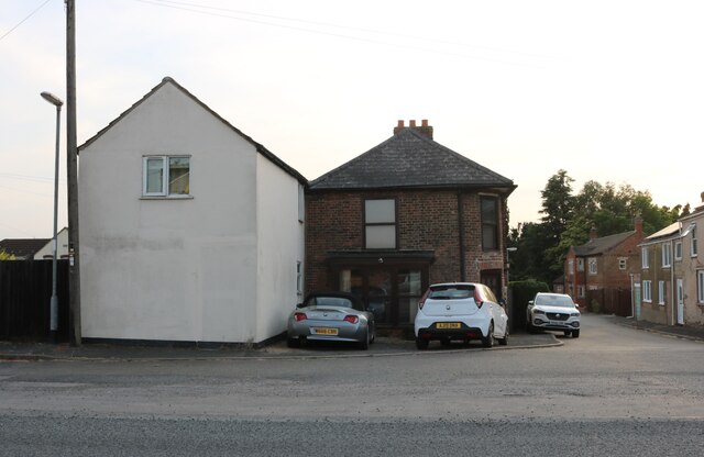
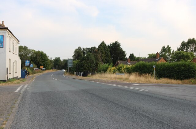
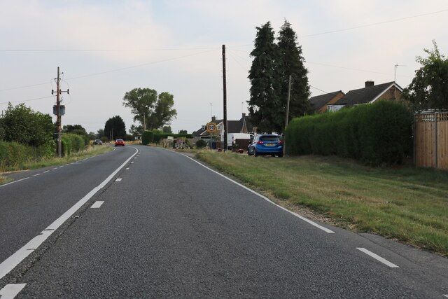
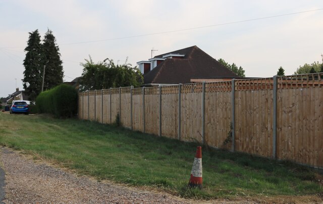
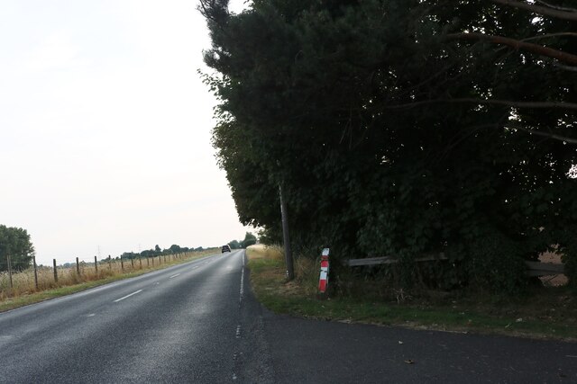
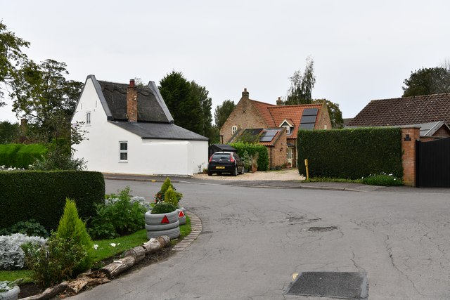
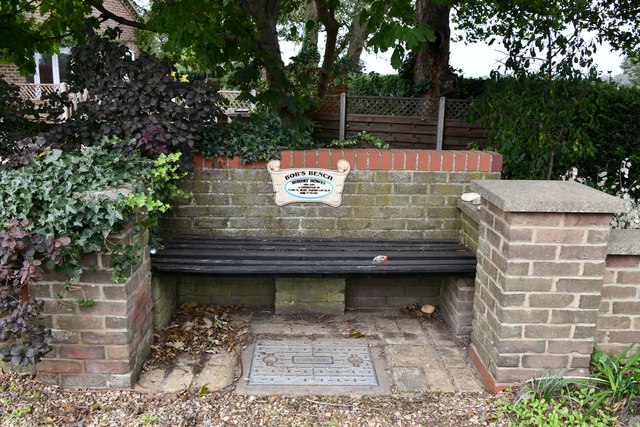
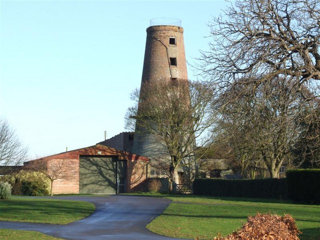
Tydd Gote Images
Images are sourced within 2km of 52.739805/0.156026 or Grid Reference TF4517. Thanks to Geograph Open Source API. All images are credited.


Tydd Gote is located at Grid Ref: TF4517 (Lat: 52.739805, Lng: 0.156026)
Division: Parts of Holland
Administrative County: Lincolnshire
District: South Holland
Police Authority: Lincolnshire
What 3 Words
///occupiers.send.tarred. Near Sutton Bridge, Lincolnshire
Nearby Locations
Related Wikis

Tydd Gote
Tydd Gote is an English village, partly, at the north, in the civil parish of Tydd St Mary of the South Holland District of Lincolnshire, and partly, at...

Tydd railway station
Tydd railway station was a station, opened by the Peterborough, Wisbech and Sutton Bridge Railway on 1 August 1866, in Lincolnshire serving the villages...

Tydd St Mary
Tydd St Mary is a village and civil parish in the South Holland district of Lincolnshire, England, about 9 miles (14 km) east of the town of Spalding and...
Four Gotes
Four Gotes is a hamlet in the civil parish of Tydd St Giles in Cambridgeshire, England. The population is included in the civil parish of Leverington....
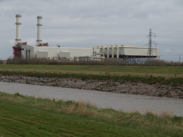
Sutton Bridge Power Station
Sutton Bridge Power Station is an 819 MW gas-fired power station in Sutton Bridge in the south-east of Lincolnshire in South Holland, England. It is situated...
RAF Sutton Bridge
Royal Air Force Sutton Bridge or more simply RAF Sutton Bridge is a former Royal Air Force station found next to the village of Sutton Bridge in the south...
Ingleborough Tower Windmill, West Walton
Ingleborough Tower Windmill is one mile north of the village of West Walton in Norfolk, England. The windmill is in the yard of Hill House Farm alongside...
Tydd St Giles
Tydd St Giles is a village in Fenland, Cambridgeshire, England. It is the northernmost village in the Isle of Ely, Cambridgeshire (bordering Lincolnshire...
Nearby Amenities
Located within 500m of 52.739805,0.156026Have you been to Tydd Gote?
Leave your review of Tydd Gote below (or comments, questions and feedback).