Bourtreehill

Settlement in Ayrshire

Scotland

Bourtreehill

Bluebell View
Bluebell View Credit: Alan Reid

Bourtreehill is a small residential area located in the North Ayrshire council area of Scotland. Situated just outside the town of Irvine, it is approximately 30 miles southwest of Glasgow. The area is primarily known for its housing estates, which were developed in the mid-20th century to accommodate the growing population.

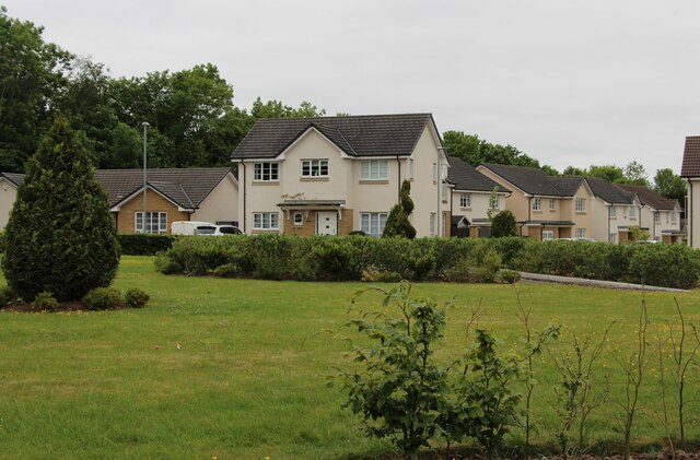
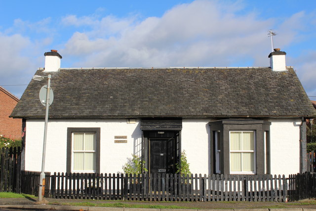
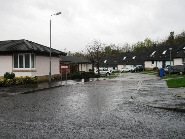
The architecture in Bourtreehill is predominantly made up of post-war council houses, with some private properties as well. The area is characterized by its tree-lined streets and well-maintained green spaces, creating a pleasant environment for residents. There are also several local amenities, including a community center, shops, and a primary school.

Bourtreehill benefits from its proximity to Irvine, which offers a wider range of amenities and services, including supermarkets, restaurants, and leisure facilities. The area is also well-connected by public transport, with regular bus services to Irvine and surrounding towns.

The natural beauty of Bourtreehill is enhanced by its close proximity to Eglinton Country Park, a large public park with woodlands, meadows, and a castle. This provides residents with opportunities for outdoor activities and leisure pursuits.

Overall, Bourtreehill offers a quiet and suburban lifestyle with easy access to nearby amenities and natural attractions. It is a popular residential area for families and individuals looking for a peaceful environment within reach of urban conveniences.

If you have any feedback on the listing, please let us know in the comments section below.
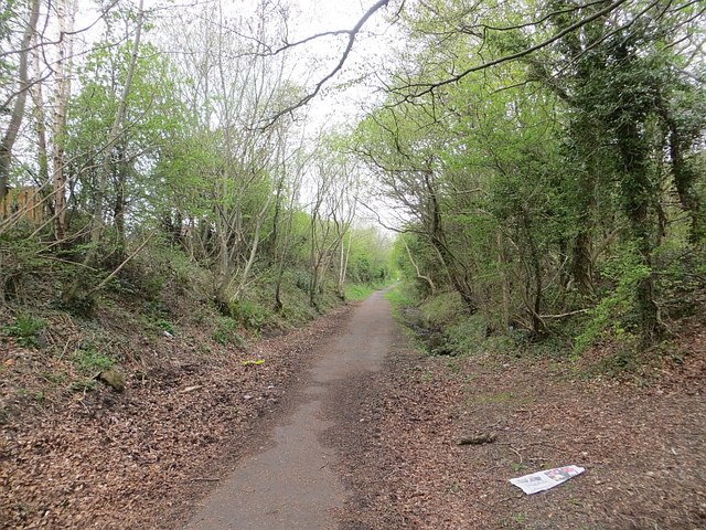
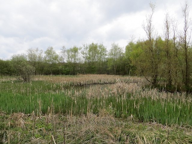
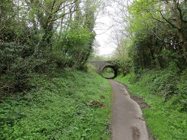
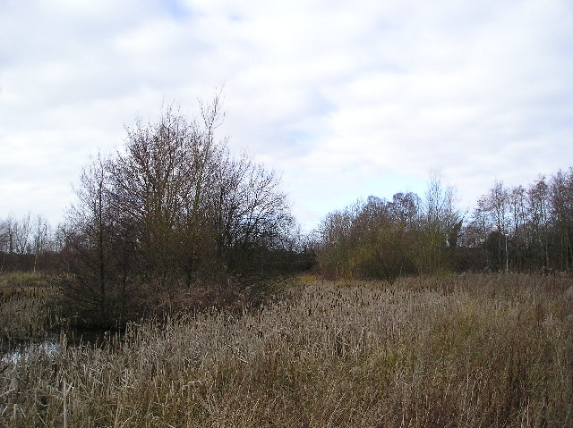
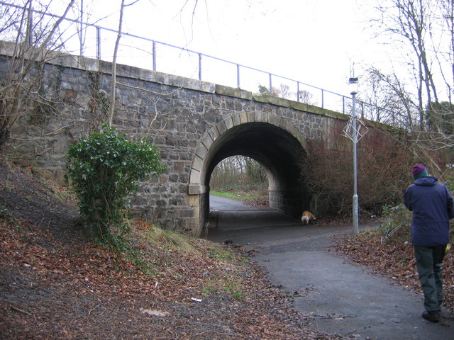
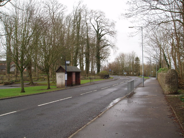
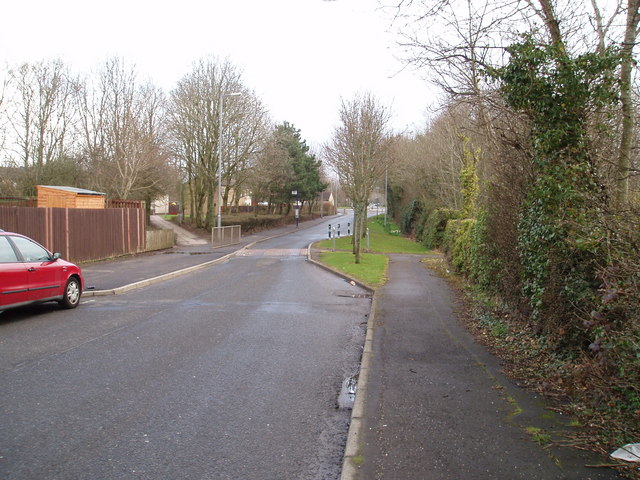
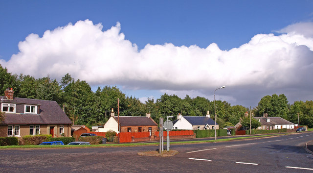
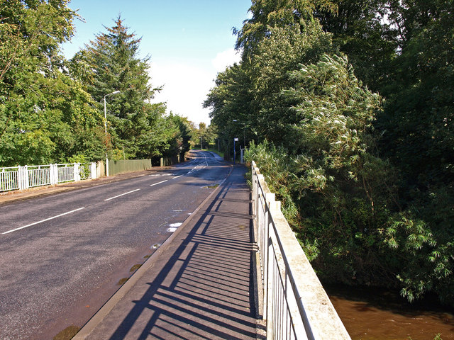
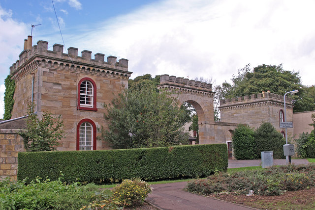
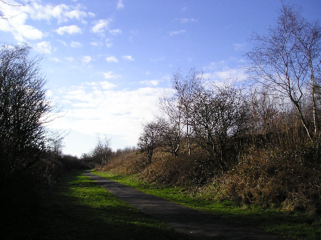
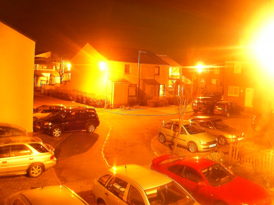
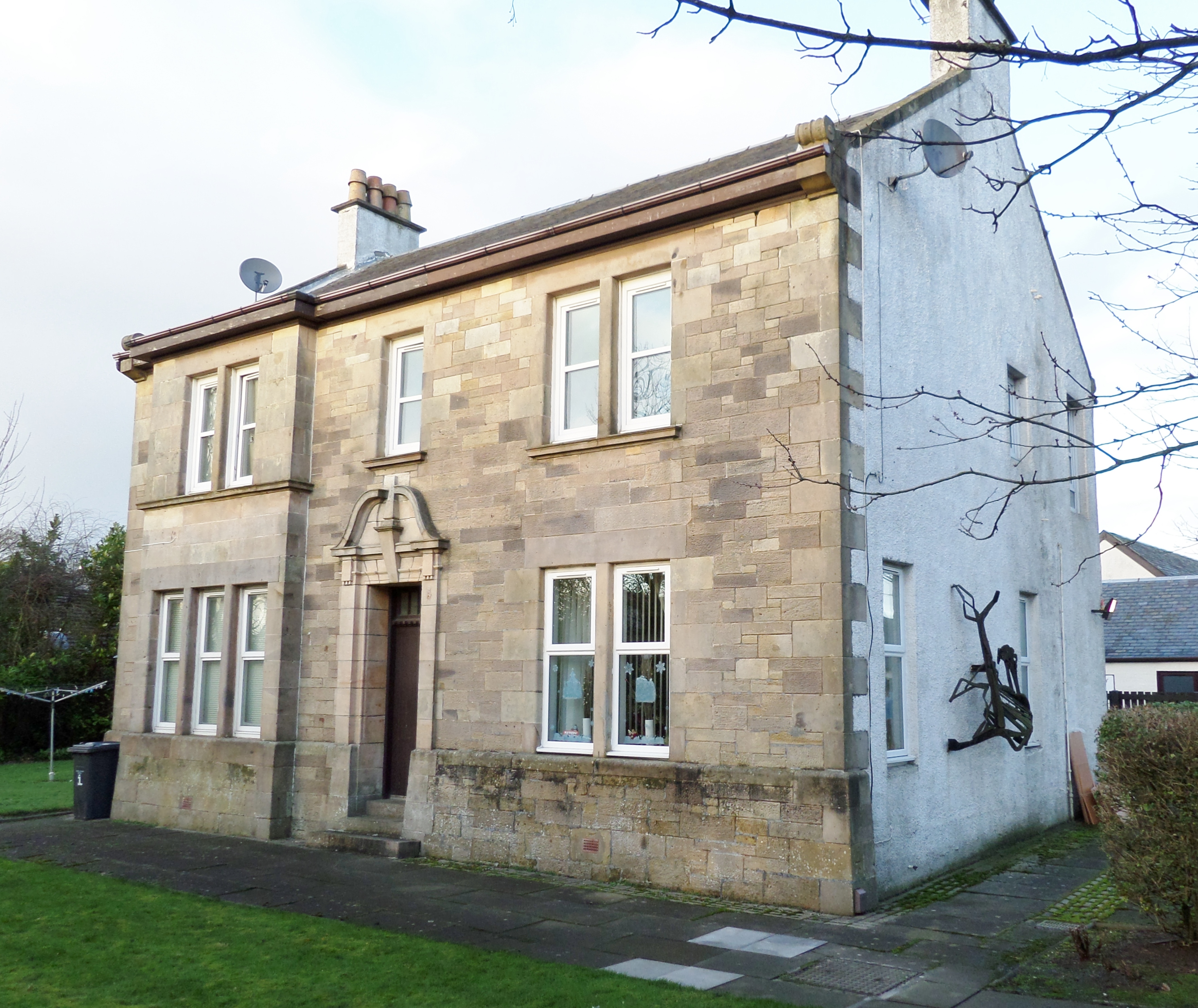
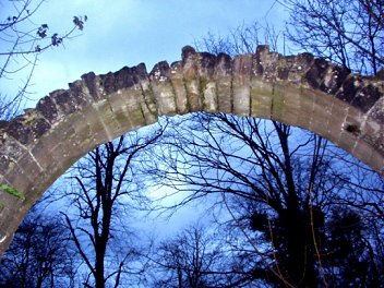
Bourtreehill Images

Images are sourced within 2km of 55.616736/-4.626259 or Grid Reference NS3439. Thanks to Geograph Open Source API. All images are credited.

Bluebell View
Bluebell View
Tollhouse Cottage, Girdle Toll, Irvine
Broughton Green
Broughton Green
Lawthorn Farm
Lawthorn Farm
Railway trackbed, Irvine This was a mineral line serving Perceton Colliery in the 19th century. Maps from c. 1900 show it as disused. It is now a cycle and footpath.
Railway trackbed, Irvine
This was a mineral line serving Perceton Colliery in the 19th century. Maps from c. 1900 show it as disused. It is now a cycle and footpath.
Wetland, Lawthorn A vegetated pond beside a long disused railway.
Wetland, Lawthorn
A vegetated pond beside a long disused railway.
Railway trackbed, Irvine A former mineral line at Girdle Toll. It served the Perceton Colliery and is shown as disused on maps around 1900.
Railway trackbed, Irvine
A former mineral line at Girdle Toll. It served the Perceton Colliery and is shown as disused on maps around 1900.
Bulrushes Wetland area of marshy ground adjacent to the footpath on the Irvine Town Trail.
Bulrushes
Wetland area of marshy ground adjacent to the footpath on the Irvine Town Trail.
Perceton House Now one of North Ayrshire Councils buildings. In the early 14th century the land became the principal residence of a member of the Stewart family. The old stockade was removed and a moat excavated, probably around a new manor house. In the late 1400s following a period of absorption in larger estates the site again became a principal residence, to one Ninian Barclay. This resulted in the building of a new mansion which was demolished in the 1720s, when another new owner constructed the present Perceton House.
Perceton House
Now one of North Ayrshire Councils buildings. In the early 14th century the land became the principal residence of a member of the Stewart family. The old stockade was removed and a moat excavated, probably around a new manor house. In the late 1400s following a period of absorption in larger estates the site again became a principal residence, to one Ninian Barclay. This resulted in the building of a new mansion which was demolished in the 1720s, when another new owner constructed the present Perceton House.
Irvine Town Trail Part of the Irvine Town Trail follows an old railway freight line, the Doura Branch, round the eastern side of the New Town area.  This line served a major iron works, several coal and ironstone pits, a saw mill and a brick works, though today evidence of these former industries is sparse.  Here the alignment passes under Lochlibo Road, near Sourlie, by a skew stone arched bridge, numbered DOA 12, whose maintenance is still the responsibility of the BRB (Residuary) Ltd.
Irvine Town Trail
Part of the Irvine Town Trail follows an old railway freight line, the Doura Branch, round the eastern side of the New Town area. This line served a major iron works, several coal and ironstone pits, a saw mill and a brick works, though today evidence of these former industries is sparse. Here the alignment passes under Lochlibo Road, near Sourlie, by a skew stone arched bridge, numbered DOA 12, whose maintenance is still the responsibility of the BRB (Residuary) Ltd.
Brick Bus  Shelter Bus shelter on Stotfield Road in the Stanefield area of Irvine New Town. Brick built shelters are rare in the area. 8th April 2010 9.10am.
Brick Bus Shelter
Bus shelter on Stotfield Road in the Stanefield area of Irvine New Town. Brick built shelters are rare in the area. 8th April 2010 9.10am.
Road Narrows Traffic calming road narrowing on Stotfield Road Irvine. 8th April 2010 9.10am.
Road Narrows
Traffic calming road narrowing on Stotfield Road Irvine. 8th April 2010 9.10am.
Old Perceton Viewed from Perceton roundabout.
Old Perceton
Viewed from Perceton roundabout.
Perceton Bridge Crossing Annick Water
Perceton Bridge
Crossing Annick Water
Stanecastle Gate Ex Gamekeepers residence and the southern gatehouse entrance to Eglinton Castle.
Stanecastle Gate
Ex Gamekeepers residence and the southern gatehouse entrance to Eglinton Castle.
Bend in the River Annick water, picture taken from the footbridge.
Bend in the River
Annick water, picture taken from the footbridge.
Urban Landscaping  Irvine Bourtreehill, on the route of Irvine Town Trail.
Urban Landscaping
Irvine Bourtreehill, on the route of Irvine Town Trail.
Old Rail Line  Irvine New Town Trail, at this point following an old rail line. This is also part of National Cycle route No. 73.
Old Rail Line
Irvine New Town Trail, at this point following an old rail line. This is also part of National Cycle route No. 73.
Show me another place!

Bourtreehill is located at Grid Ref: NS3439 (Lat: 55.616736, Lng: -4.626259)

Unitary Authority: North Ayrshire

Police Authority: Ayrshire

What 3 Words

///sooner.daily.purple. Near Dreghorn, North Ayrshire

Related Wikis

Bourtreehill

Bourtreehill is a large housing estate built by the Irvine Development Corporation (IDC) in the late 1970s which forms part of the Irvine New Town in North...

Towerlands, North Ayrshire

Towerlands or Tourlands was a small estate of 70 to 80 acres (28 to 32 ha) of good quality land in the parish of Irvine and the old barony of Kilmaurs...

Broomlands

Broomlands is district of Irvine in North Ayrshire, Scotland. Situated on a series of bends in the River Annick, Broomlands and its original features are...

Bourtreehill House

Bourtreehill House (now destroyed) and the enclosed land on which it was built form the original estate of Bourtreehill. The wooded hill-top, a distinctive...

Dreghorn railway station

Dreghorn railway station was a railway station serving the village of Dreghorn, North Ayrshire, Scotland. The station was originally part of the Glasgow...

Lands of Broomlands

The lands of Broomlands or Broumlands formed a small country estate about a mile to the east of Irvine, North Ayrshire, Scotland situated on the east bank...

Greenwood Academy, Dreghorn

Greenwood Academy is an 11–18 state secondary school in Dreghorn, North Ayrshire, Scotland. == History == The school opened in August 1972, serving the...

Dreghorn

Dreghorn is a village in North Ayrshire, Scotland, 3.5 kilometres (2+1⁄4 miles) east of Irvine town centre, on the old main road from Irvine to Kilmarnock...

Nearby Amenities

Located within 500m of 55.616736,-4.626259
Post Office
Bourtreehill Post Office
Addr Postcode: KA11 1PQ
Brand: Post Office
Brand Wikidata: Q1783168
Ref Pol Id: 1715
Source: OS OpenData StreetView
Lat/Long: 55.6186271/-4.6300359
Atm
Lat/Long: 55.6186592/-4.6302888
Pharmacy
Boots Pharmacy
Addr City: Irvine
Addr Housename: Boots Pharmacy
Addr Housenumber: 9
Addr Postcode: KA11 1PQ
Addr Street: Lower Vennel
Brand Wikidata: Q6123139
Dispensing: yes
Website: https://www.boots.com/stores/5583-irvine-bourtree-ka11-1pq
Lat/Long: 55.6183838/-4.630769
Bus Stop
Lat/Long: 55.6169646/-4.6240643
Bus Stop
Lat/Long: 55.616901/-4.6241501
Bus Stop
Naptan AtcoCode: 6170109
Naptan NaptanCode: 62924249
Lat/Long: 55.6158406/-4.6222484
Bus Stop
Naptan AtcoCode: 6170110
Naptan NaptanCode: 62924232
Lat/Long: 55.6157528/-4.622345
Place Of Worship
The Life Church in Irvine
Denomination: baptist
Religion: christian
Lat/Long: 55.6126585/-4.6268207
The data included in this document is from www.openstreetmap.org. The data is made available under ODbL.

Have you been to Bourtreehill?

Leave your review of Bourtreehill below (or comments, questions and feedback).