Bourtreehill Pond

Lake, Pool, Pond, Freshwater Marsh in Ayrshire

Scotland

Bourtreehill Pond

Bluebell View
Bluebell View Credit: Alan Reid

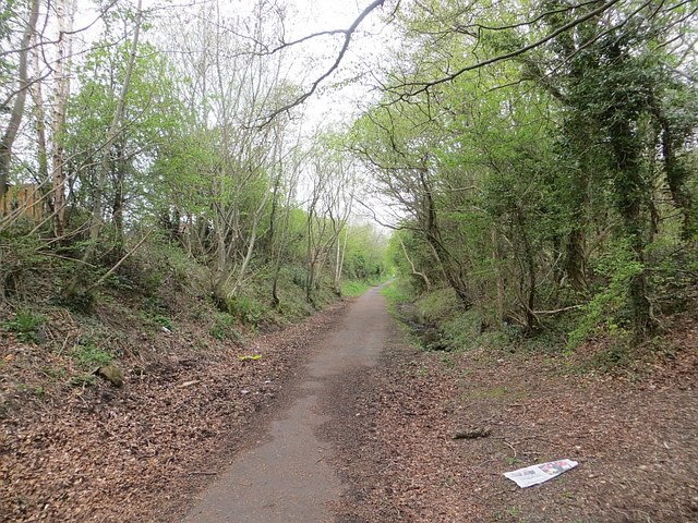
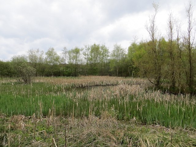
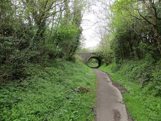
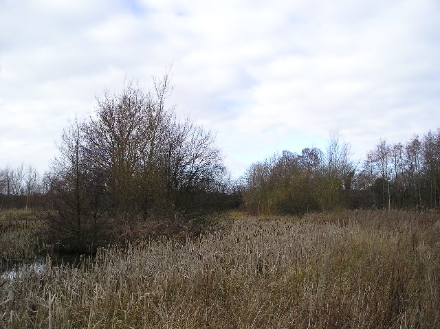
Bourtreehill Pond is a small freshwater pond located in Ayrshire, Scotland. It is situated in the Bourtreehill area, near the town of Irvine. The pond covers an area of approximately 1.5 acres and is surrounded by a mix of grassland and woodland.

The pond is fed by natural springs and rainfall, ensuring a constant flow of freshwater. It is relatively shallow, with an average depth of around 3 feet. The water is clear and supports a diverse range of aquatic plants and wildlife.

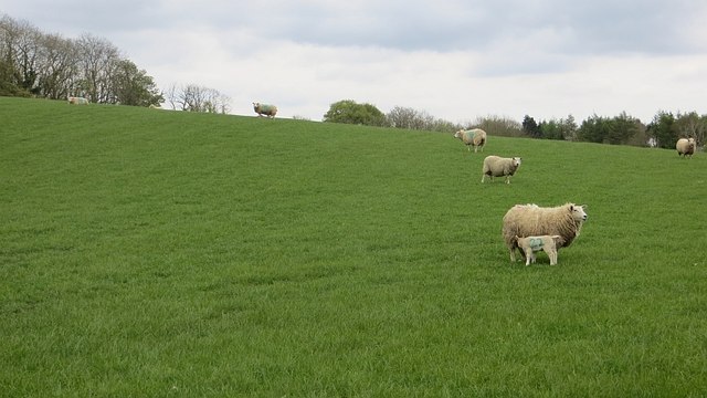
Bourtreehill Pond is known for its rich biodiversity. The surrounding vegetation provides habitat for a variety of bird species, including mallards, coots, and swans, which can often be seen swimming or nesting near the pond. The pond also attracts a range of insects, such as dragonflies and damselflies, which thrive in the water and surrounding vegetation.

The pond is a popular spot for local residents and visitors to enjoy recreational activities. Anglers frequent the pond, hoping to catch species such as perch, roach, and tench. The tranquil atmosphere and picturesque surroundings make it an ideal place for a leisurely stroll or a picnic.

Bourtreehill Pond is managed and protected by local authorities to preserve its natural beauty and ecological importance. Signs are displayed around the pond, providing information about the wildlife and the importance of respecting the environment.

Overall, Bourtreehill Pond offers a peaceful retreat for both nature enthusiasts and those seeking a quiet escape from the hustle and bustle of everyday life.

If you have any feedback on the listing, please let us know in the comments section below.

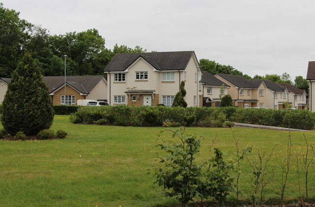
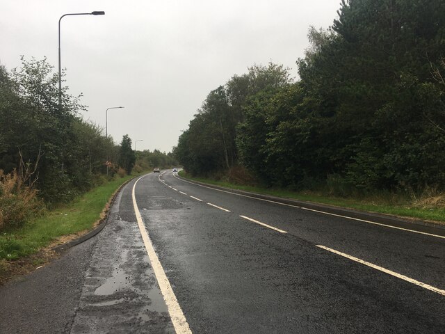
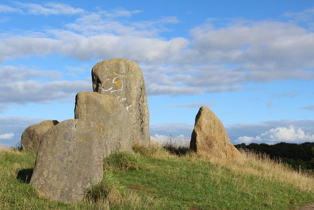
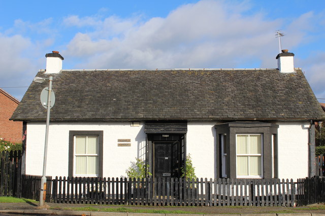
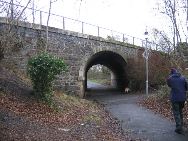
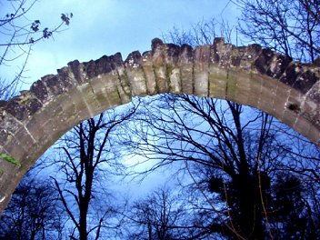
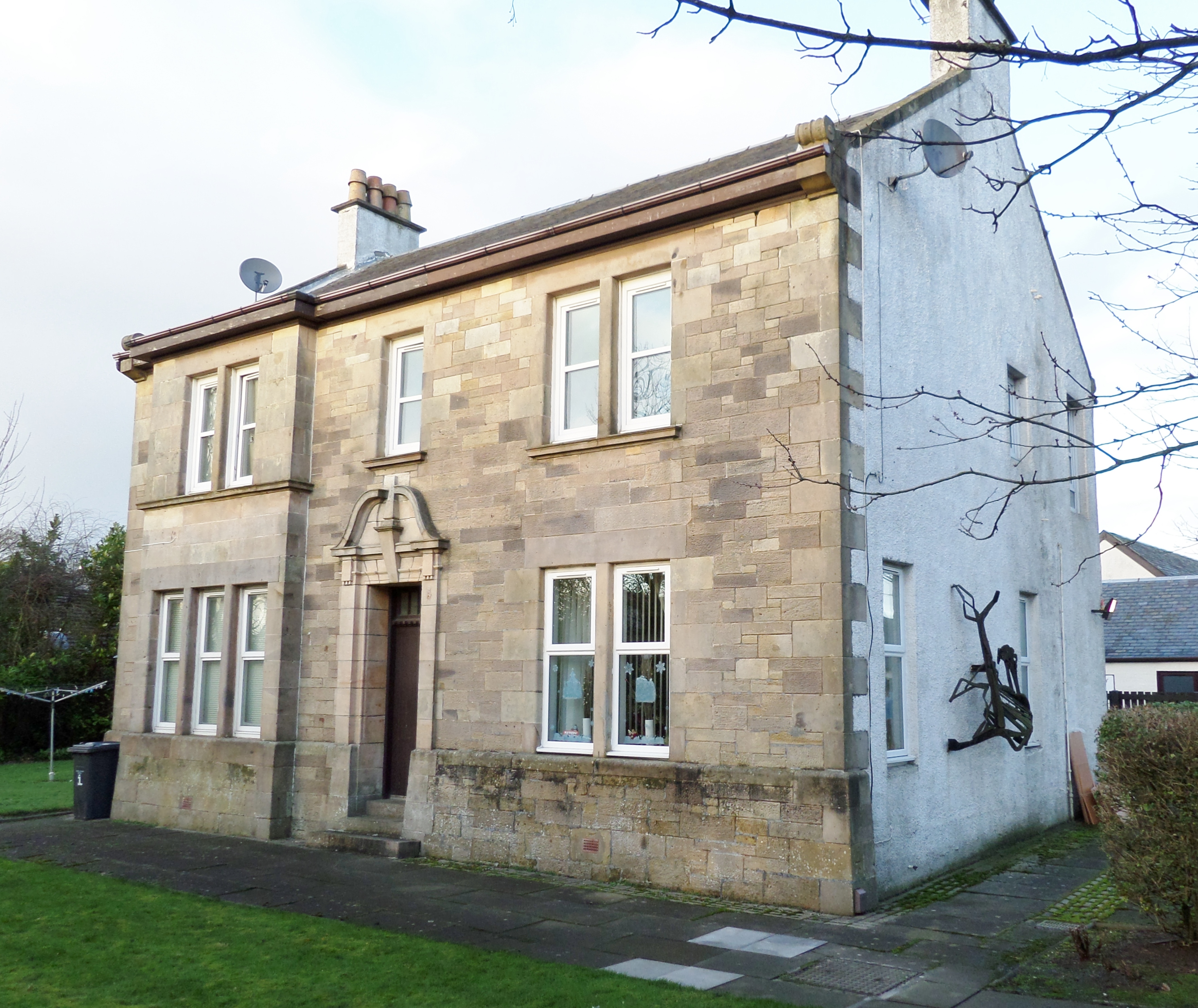
Bourtreehill Pond Images

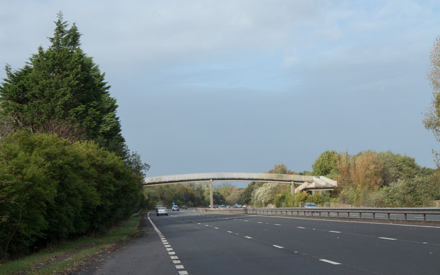
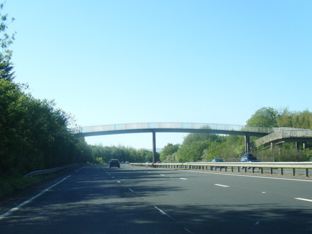
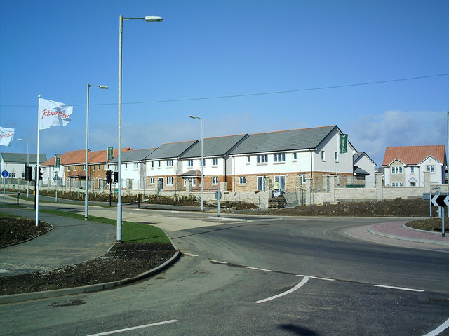
Images are sourced within 2km of 55.621186/-4.6355806 or Grid Reference NS3439. Thanks to Geograph Open Source API. All images are credited.

Bluebell View
Bluebell View
A736 Cairnmount Road
Sourlie Hill Standing Stones, Eglinton Country Park An opencast mine was established at Sourlie in 1983. Once the extraction process ended in 1986, reclamation and landscaping followed until completion in 1987. These large boulders recovered during mining were erected on top of the restored Sourlie Hill (also known as Cairnmount Hill).
Sourlie Hill Standing Stones, Eglinton Country Park
An opencast mine was established at Sourlie in 1983. Once the extraction process ended in 1986, reclamation and landscaping followed until completion in 1987. These large boulders recovered during mining were erected on top of the restored Sourlie Hill (also known as Cairnmount Hill).
Tollhouse Cottage, Girdle Toll, Irvine
A78 approaching footbridge near cemetery
A78 approaching footbridge near The Circle
Broughton Green
Broughton Green
Lawthorn Farm
Lawthorn Farm
Farmland near Sourlie Ewes and lambs outside Irvine.
Farmland near Sourlie
Ewes and lambs outside Irvine.
Railway trackbed, Irvine This was a mineral line serving Perceton Colliery in the 19th century. Maps from c. 1900 show it as disused. It is now a cycle and footpath.
Railway trackbed, Irvine
This was a mineral line serving Perceton Colliery in the 19th century. Maps from c. 1900 show it as disused. It is now a cycle and footpath.
Wetland, Lawthorn A vegetated pond beside a long disused railway.
Wetland, Lawthorn
A vegetated pond beside a long disused railway.
Railway trackbed, Irvine A former mineral line at Girdle Toll. It served the Perceton Colliery and is shown as disused on maps around 1900.
Railway trackbed, Irvine
A former mineral line at Girdle Toll. It served the Perceton Colliery and is shown as disused on maps around 1900.
A78 heading north past Irvine The A78 as it passes Irvine is constructed almost to motorway standard. The view is from a layby beside the north-bound carriageway.
A78 heading north past Irvine
The A78 as it passes Irvine is constructed almost to motorway standard. The view is from a layby beside the north-bound carriageway.
A78 at footbridge near Stanecastle
Bulrushes Wetland area of marshy ground adjacent to the footpath on the Irvine Town Trail.
Bulrushes
Wetland area of marshy ground adjacent to the footpath on the Irvine Town Trail.
New Private Housing Estate Earlswood Private Housing Estate adds to the ever expanding Irvine New Town. So new in fact that it doesn't show on the maps yet
New Private Housing Estate
Earlswood Private Housing Estate adds to the ever expanding Irvine New Town. So new in fact that it doesn't show on the maps yet
Perceton House Now one of North Ayrshire Councils buildings. In the early 14th century the land became the principal residence of a member of the Stewart family. The old stockade was removed and a moat excavated, probably around a new manor house. In the late 1400s following a period of absorption in larger estates the site again became a principal residence, to one Ninian Barclay. This resulted in the building of a new mansion which was demolished in the 1720s, when another new owner constructed the present Perceton House.
Perceton House
Now one of North Ayrshire Councils buildings. In the early 14th century the land became the principal residence of a member of the Stewart family. The old stockade was removed and a moat excavated, probably around a new manor house. In the late 1400s following a period of absorption in larger estates the site again became a principal residence, to one Ninian Barclay. This resulted in the building of a new mansion which was demolished in the 1720s, when another new owner constructed the present Perceton House.
Irvine Town Trail Part of the Irvine Town Trail follows an old railway freight line, the Doura Branch, round the eastern side of the New Town area.  This line served a major iron works, several coal and ironstone pits, a saw mill and a brick works, though today evidence of these former industries is sparse.  Here the alignment passes under Lochlibo Road, near Sourlie, by a skew stone arched bridge, numbered DOA 12, whose maintenance is still the responsibility of the BRB (Residuary) Ltd.
Irvine Town Trail
Part of the Irvine Town Trail follows an old railway freight line, the Doura Branch, round the eastern side of the New Town area. This line served a major iron works, several coal and ironstone pits, a saw mill and a brick works, though today evidence of these former industries is sparse. Here the alignment passes under Lochlibo Road, near Sourlie, by a skew stone arched bridge, numbered DOA 12, whose maintenance is still the responsibility of the BRB (Residuary) Ltd.
Show me another place!

Bourtreehill Pond is located at Grid Ref: NS3439 (Lat: 55.621186, Lng: -4.6355806)

Unitary Authority: North Ayrshire

Police Authority: Ayrshire

What 3 Words

///privately.brass.closes. Near Irvine, North Ayrshire

Related Wikis

Bourtreehill House

Bourtreehill House (now destroyed) and the enclosed land on which it was built form the original estate of Bourtreehill. The wooded hill-top, a distinctive...

Towerlands, North Ayrshire

Towerlands or Tourlands was a small estate of 70 to 80 acres (28 to 32 ha) of good quality land in the parish of Irvine and the old barony of Kilmaurs...

Stanecastle

Stanecastle was a medieval barony and estate in North Ayrshire, Scotland, first mentioned in 1363 and now part of the Irvine New Town project. Its...

Bourtreehill

Bourtreehill is a large housing estate built by the Irvine Development Corporation (IDC) in the late 1970s which forms part of the Irvine New Town in North...

Broomlands

Broomlands is district of Irvine in North Ayrshire, Scotland. Situated on a series of bends in the River Annick, Broomlands and its original features are...

Lands of Broomlands

The lands of Broomlands or Broumlands formed a small country estate about a mile to the east of Irvine, North Ayrshire, Scotland situated on the east bank...

Lawthorn

Lawthorn is a hamlet near Perceton in Strathannick, Irvine, North Ayrshire, Scotland. The settlement lies on the old Irvine to Stewarton toll road. �...

Dreghorn railway station

Dreghorn railway station was a railway station serving the village of Dreghorn, North Ayrshire, Scotland. The station was originally part of the Glasgow...

Nearby Amenities

Located within 500m of 55.621186,-4.6355806
Post Office
Bourtreehill Post Office
Addr Postcode: KA11 1PQ
Brand: Post Office
Brand Wikidata: Q1783168
Ref Pol Id: 1715
Source: OS OpenData StreetView
Lat/Long: 55.6186271/-4.6300359
Atm
Lat/Long: 55.6186592/-4.6302888
Pharmacy
Boots Pharmacy
Addr City: Irvine
Addr Housename: Boots Pharmacy
Addr Housenumber: 9
Addr Postcode: KA11 1PQ
Addr Street: Lower Vennel
Brand Wikidata: Q6123139
Dispensing: yes
Website: https://www.boots.com/stores/5583-irvine-bourtree-ka11-1pq
Lat/Long: 55.6183838/-4.630769
Noexit: yes
Lat/Long: 55.6233135/-4.6413441
Generator Method: photovoltaic
Generator Output Electricity: yes
Generator Source: solar
Generator Type: solar_photovoltaic_panel
Power: generator
Lat/Long: 55.6255223/-4.6353422
The data included in this document is from www.openstreetmap.org. The data is made available under ODbL.

Have you been to Bourtreehill Pond?

Leave your review of Bourtreehill Pond below (or comments, questions and feedback).