Airlie

Settlement in Angus

Scotland

Airlie

Field and clump of trees at Philpie A ploughed field with red soil typical of the district lies beyond the small building.
Field and clump of trees at Philpie Credit: Oliver Dixon

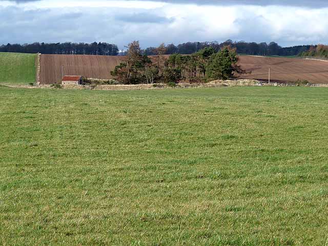
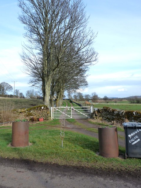
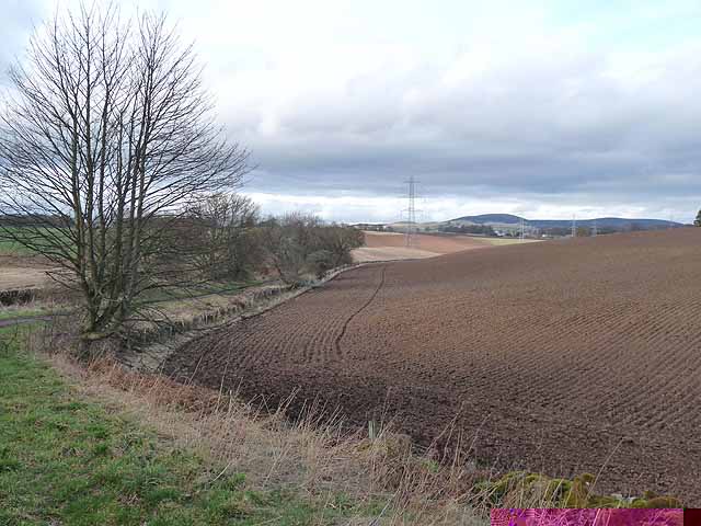
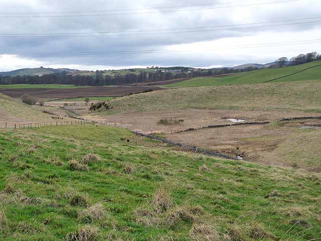
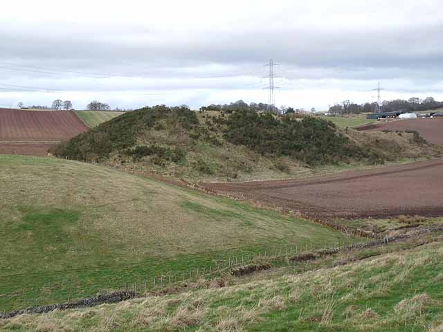
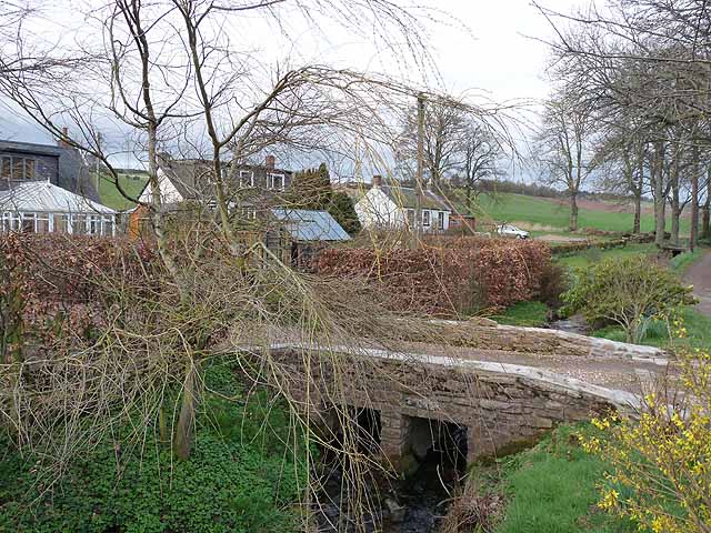
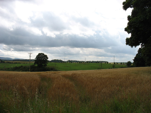
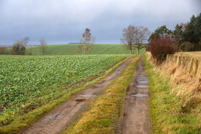
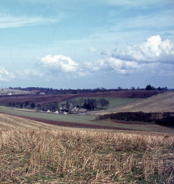
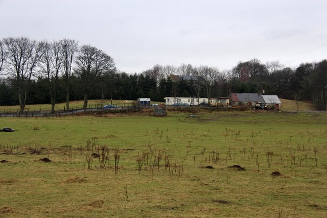
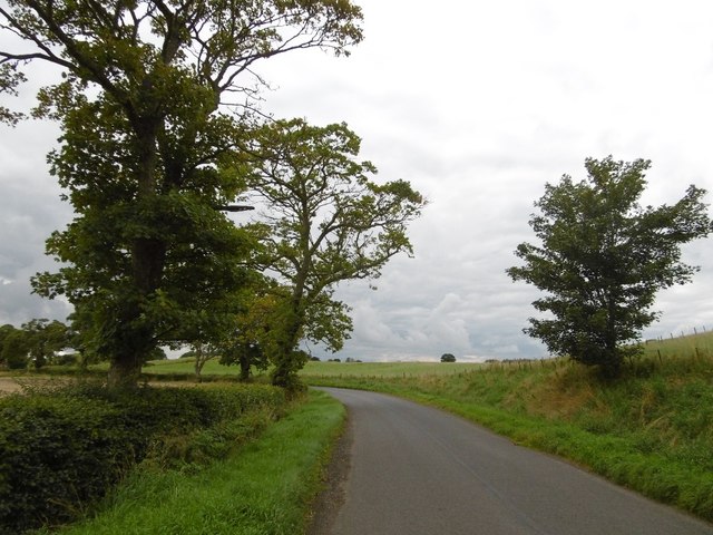
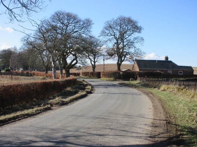
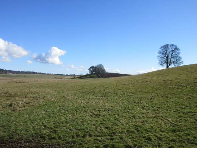
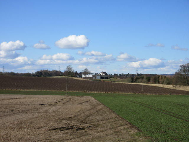
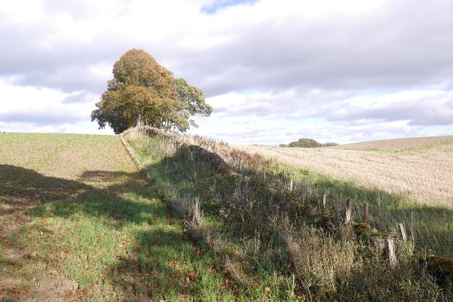
Airlie is a small village located in the Angus region of Scotland. Situated approximately 6 miles north of Kirriemuir, it is set amidst picturesque countryside and offers a serene and tranquil setting. Airlie is known for its natural beauty, with rolling hills, lush green pastures, and stunning views of the surrounding landscape.

The village itself is home to a small community, with a population of around 200 residents. It has a charming and peaceful atmosphere, making it an ideal place for those seeking a quiet and idyllic lifestyle. The local community is close-knit and welcoming, fostering a strong sense of community spirit.

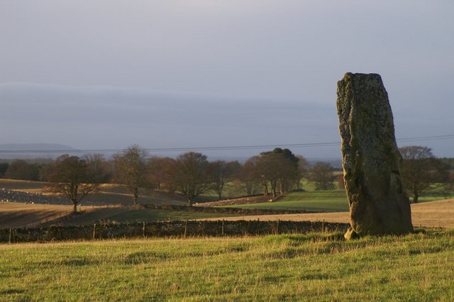
Airlie is rich in history, with several historic landmarks and buildings in the area. One notable attraction is the Airlie Monument, a towering structure that stands on the top of Tulloch Hill. The monument was erected in memory of the Ogilvy family, who were the Earls of Airlie. Visitors can climb the monument and enjoy breathtaking views of the surrounding countryside.

Nature enthusiasts will find plenty to explore in Airlie, as the village is surrounded by beautiful walking trails and nature reserves. The nearby Angus Glens offer a variety of outdoor activities, including hiking, fishing, and wildlife spotting.

In terms of amenities, Airlie has limited facilities, with a small village hall and a primary school serving the local community. However, residents can easily access larger towns and cities in the area for additional services and amenities.

Overall, Airlie is a charming and peaceful village, offering a picturesque setting and a strong sense of community. It is a place where residents can enjoy the beauty of nature while embracing a slower-paced lifestyle.

If you have any feedback on the listing, please let us know in the comments section below.

Airlie Images

Images are sourced within 2km of 56.638362/-3.116767 or Grid Reference NO3150. Thanks to Geograph Open Source API. All images are credited.

Field and clump of trees at Philpie A ploughed field with red soil typical of the district lies beyond the small building.
Field and clump of trees at Philpie
A ploughed field with red soil typical of the district lies beyond the small building.
Gateway to Philpie An imaginative house sign and a pair of recycled oil drums make for a distinctive entrance.
Gateway to Philpie
An imaginative house sign and a pair of recycled oil drums make for a distinctive entrance.
Ploughed field at Airlie Showing the distinctive red soil of the district.
Ploughed field at Airlie
Showing the distinctive red soil of the district.
Valley near Kirkton of Airlie
Valley near Kirkton of Airlie Line of pylons in the background, with Barns of Airlie <a href="https://www.geograph.org.uk/gridref/NO3151">NO3151</a>to the right.
Valley near Kirkton of Airlie
Line of pylons in the background, with Barns of Airlie NO3151to the right.
Church of Scotland at Airlie Behind a high wall in the hamlet of Kirkton of Airlie.
Church of Scotland at Airlie
Behind a high wall in the hamlet of Kirkton of Airlie.
Kirkton of Airlie A tiny hamlet adjoining, as its name implies, the Church of Scotland Kirk at Airlie.
Kirkton of Airlie
A tiny hamlet adjoining, as its name implies, the Church of Scotland Kirk at Airlie.
Fields near Airlie, seen from the A926
Track among fields at Braideston, near Ruthven The line of woodland marked on the maps appears to have been cleared.
Track among fields at Braideston, near Ruthven
The line of woodland marked on the maps appears to have been cleared.
The view from the souterrain
Entrance to the souterrain
Inside the souterrain
Philpie, an old farm cottage
Meigle to Kirriemuir Road A bendy bit in a predominantly straight road.
Meigle to Kirriemuir Road
A bendy bit in a predominantly straight road.
Minor road near Blackhills The minor road heading westwards to Meigle, with the junction of the road to Airlie on the right.
Minor road near Blackhills
The minor road heading westwards to Meigle, with the junction of the road to Airlie on the right.
Rolling farmland Looking eastwards across the fields from the road south of Airlie Sawmill.
Rolling farmland
Looking eastwards across the fields from the road south of Airlie Sawmill.
Westhill Farm Westhill viewed from the minor road to the east.
Westhill Farm
Westhill viewed from the minor road to the east.
Field, Airlie
Field, Airlie
Show me another place!

Airlie is located at Grid Ref: NO3150 (Lat: 56.638362, Lng: -3.116767)

Unitary Authority: Angus

Police Authority: Tayside

What 3 Words

///nasal.dignify.pursuing. Near Alyth, Perth & Kinross

Nearby Locations

Airlie

Related Wikis

Airlie, Angus

Airlie (Scottish Gaelic: Iarlaidh) is a civil parish in the Scottish council area of Angus. It is the seat of the Earl of Airlie, and the location of...
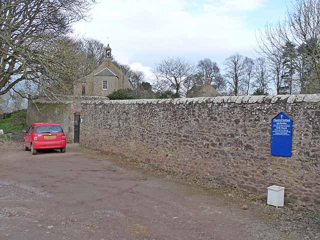
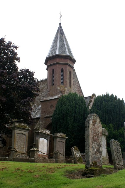
Airlie Parish Kirk

Airlie Parish Kirk is a church in Airlie, Angus. It was completed in 1783 and dedicated to St. Meddan. The interior was renovated in 1893. The church contains...

Airlie Castle

Airlie Castle is a mansion house in the parish of Airlie, Angus, near the junction of the Isla and Melgund rivers, 9 kilometres west of Kirriemuir, Angus...

Ruthven, Angus

Ruthven ( RIV-ən) is a village in Angus, Scotland. It is two miles (3.2 km) north of Meigle, where the A926 road crosses the River Isla. == See also... ==

Inverquiech Castle

Inverquiech Castle is a ruined 13th century castle near Inverquiech, Perth and Kinross, Scotland. == History == Built at the confluence of the Quiech Burn...

Castleton, Angus

Castleton, officially Castleton Of Eassie, is a village in Angus, Scotland. This settlement is situated along the A94 road between Glamis and Meigle....

Jordanstone railway station

Jordanstone railway station served the area to the south of the village of Alyth in the Scottish county of Perth and Kinross. The station was on the Alyth...

Eassie railway station

Eassie railway station served the village of Eassie, Angus, Scotland from 1838 to 1956 on the Scottish Midland Junction Railway. == History == The station...

Nearby Amenities

Located within 500m of 56.638362,-3.116767
Bus Stop
Primary School
Naptan AtcoCode: 6490IM073
Naptan Bearing: SW
Naptan BusStopType: CUS
Naptan CommonName: Primary School
Naptan Indicator: opp
Naptan Landmark: Airlie School
Naptan NaptanCode: 26423248
Naptan Street: A926
Naptan Verified: no
Source: naptan_import
Lat/Long: 56.6381627/-3.117132
Bus Stop
Primary School
Bench: yes
Local Ref: AT
Naptan AtcoCode: 6490IM074
Naptan Bearing: NE
Naptan BusStopType: CUS
Naptan CommonName: Primary School
Naptan Indicator: at
Naptan Landmark: Airlie School
Naptan NaptanCode: 26423247
Naptan Street: A926
Naptan Verified: no
Shelter: yes
Source: naptan_import
Lat/Long: 56.6382737/-3.1172003
Entrance: main
Lat/Long: 56.638526/-3.1168803
Airlie
Alt Name: Baitland of Airlie
Name Gd: Earlaidh
Place: village
Wikidata: Q4698735
Wikipedia: en:Airlie, Angus
Lat/Long: 56.6384518/-3.1162749
Post Box
Lat/Long: 56.6383204/-3.1169678
Carlinwell Stone
Archaeological Site: megalith
Historic: archaeological_site
Lat/Long: 56.6391058/-3.1088979
Material: wood
Power: pole
Lat/Long: 56.6363316/-3.1231067
Material: wood
Power: pole
Lat/Long: 56.6365396/-3.1218323
Power: pole
Lat/Long: 56.6367611/-3.1204561
Power: pole
Lat/Long: 56.6369424/-3.119341
Power: pole
Lat/Long: 56.6371565/-3.1179736
Power: pole
Lat/Long: 56.6373451/-3.1168121
Material: wood
Power: pole
Lat/Long: 56.6375812/-3.1153142
Material: wood
Power: pole
Lat/Long: 56.6377248/-3.1143363
Material: wood
Power: pole
Lat/Long: 56.6379243/-3.1130906
Material: wood
Power: pole
Lat/Long: 56.6381494/-3.1117653
Material: wood
Power: pole
Lat/Long: 56.6383648/-3.1105241
Material: wood
Power: pole
Lat/Long: 56.6384329/-3.1101812
Material: wood
Power: pole
Lat/Long: 56.6385874/-3.1092076
Power: pole
Lat/Long: 56.6375643/-3.1243059
Power: pole
Lat/Long: 56.6377943/-3.1233612
Power: pole
Lat/Long: 56.63808/-3.1221744
Power: pole
Lat/Long: 56.6383888/-3.1208983
Power: pole
Lat/Long: 56.6387003/-3.1196128
Power: pole
Lat/Long: 56.6390027/-3.1182851
Power: pole
Lat/Long: 56.639309/-3.1170137
Power: pole
Lat/Long: 56.6394408/-3.1162758
Power: pole
Lat/Long: 56.6396721/-3.1149574
Power: pole
Lat/Long: 56.6398201/-3.1139387
Power: pole
Lat/Long: 56.6399965/-3.1129164
Power: pole
Lat/Long: 56.6401825/-3.1118801
Power: pole
Lat/Long: 56.6403996/-3.1105264
Power: pole
Lat/Long: 56.6402937/-3.1100224
Power: pole
Lat/Long: 56.6398233/-3.1171148
Power: pole
Lat/Long: 56.640304/-3.1172017
Power: pole
Lat/Long: 56.64064/-3.1172334
The data included in this document is from www.openstreetmap.org. The data is made available under ODbL.

Have you been to Airlie?

Leave your review of Airlie below (or comments, questions and feedback).