Bourne End
Settlement in Hertfordshire Dacorum
England
Bourne End
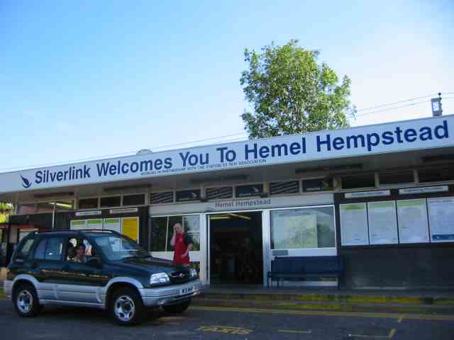
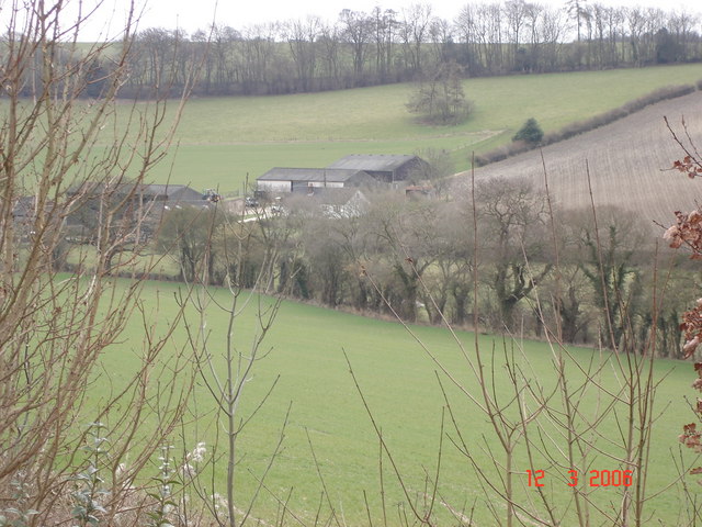
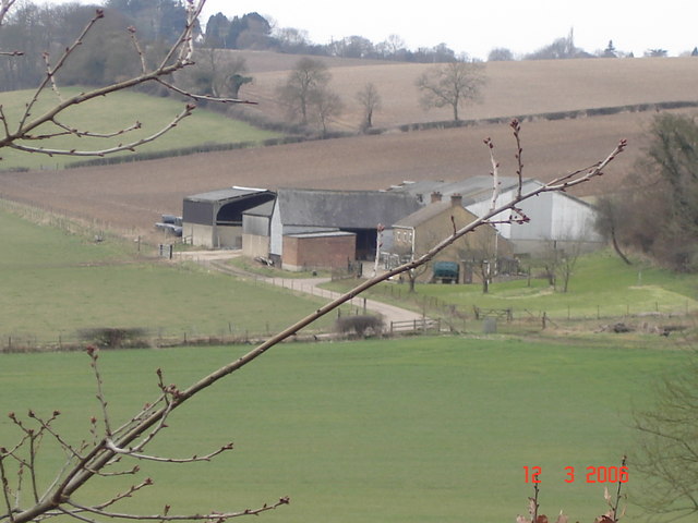
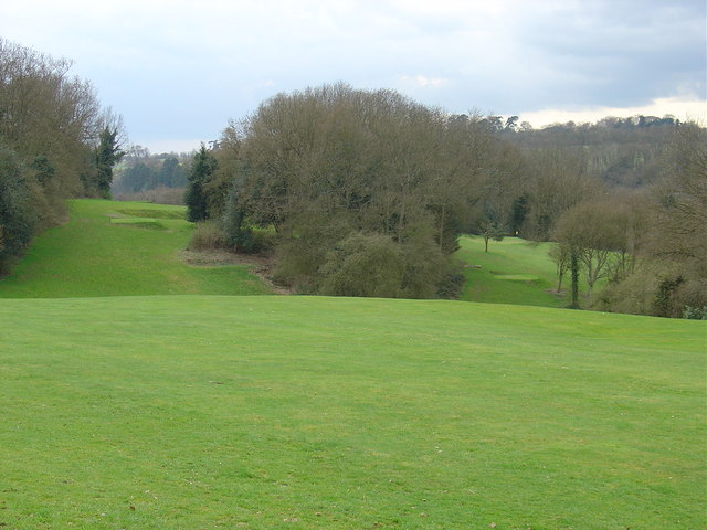
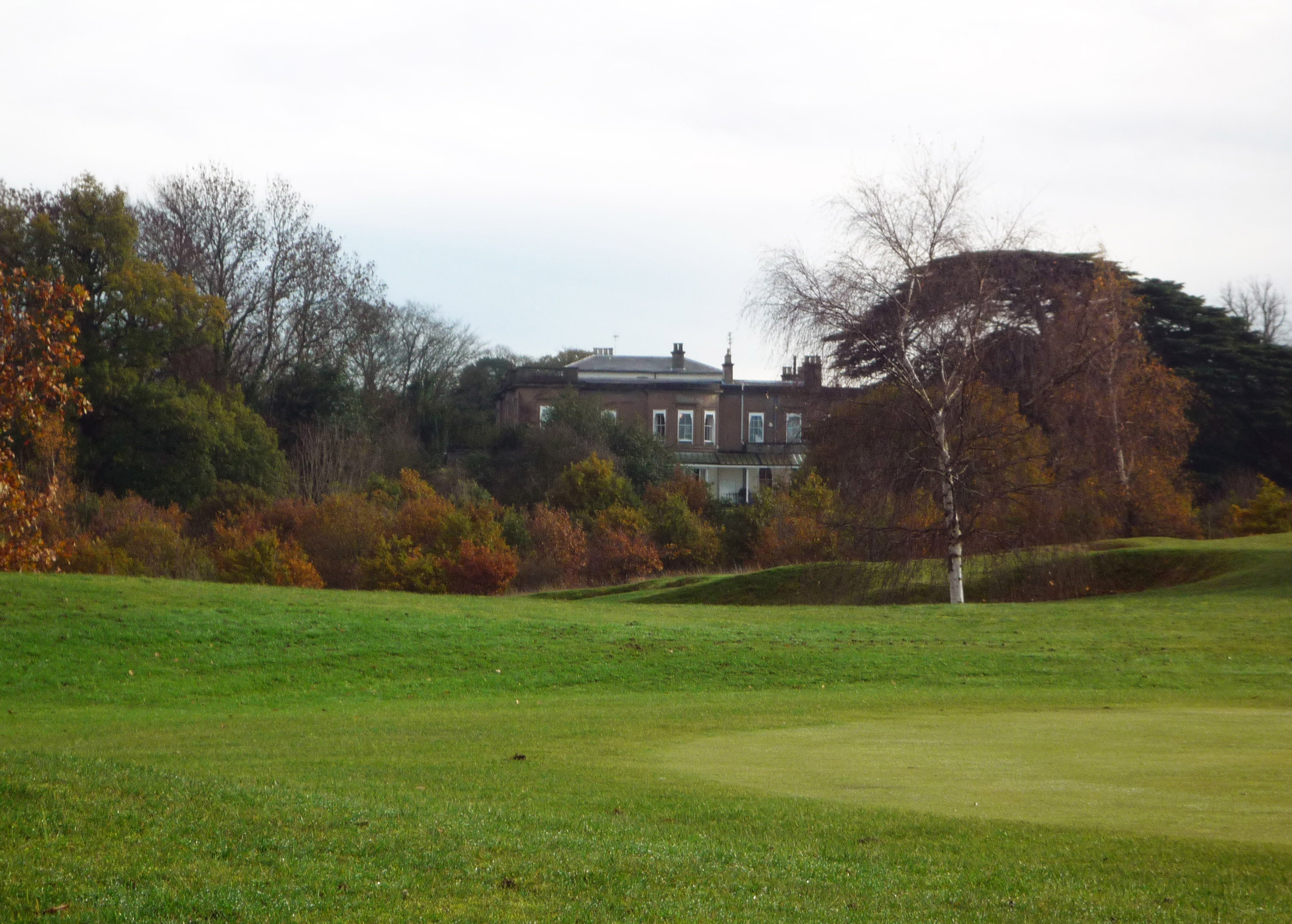
Bourne End is a village located in the county of Hertfordshire, England. Situated in the Chiltern Hills, it lies approximately four miles north of Hemel Hempstead and six miles south of Berkhamsted. The village is nestled within a picturesque countryside setting, offering stunning views and a tranquil atmosphere.
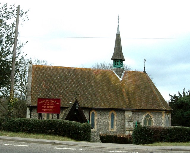
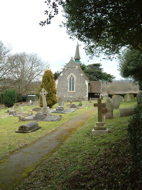
Bourne End is known for its rich history, with evidence of human settlement dating back to the Roman times. The village has retained its traditional charm, boasting a collection of well-preserved old buildings and cottages, giving visitors a glimpse into its past.
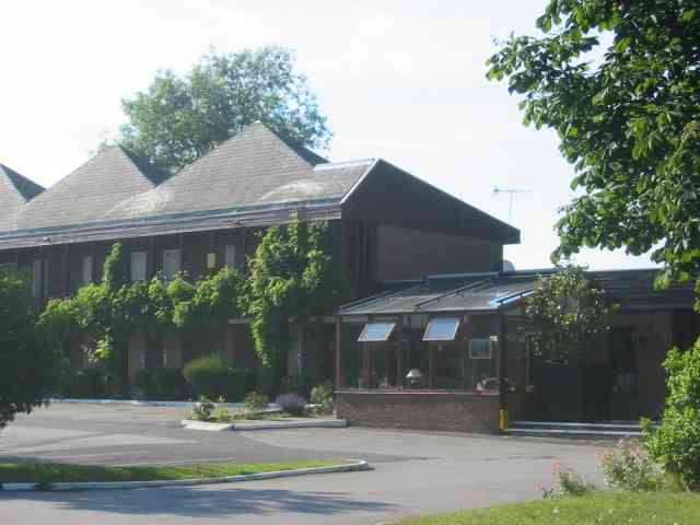
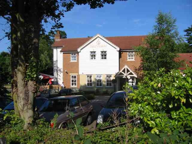
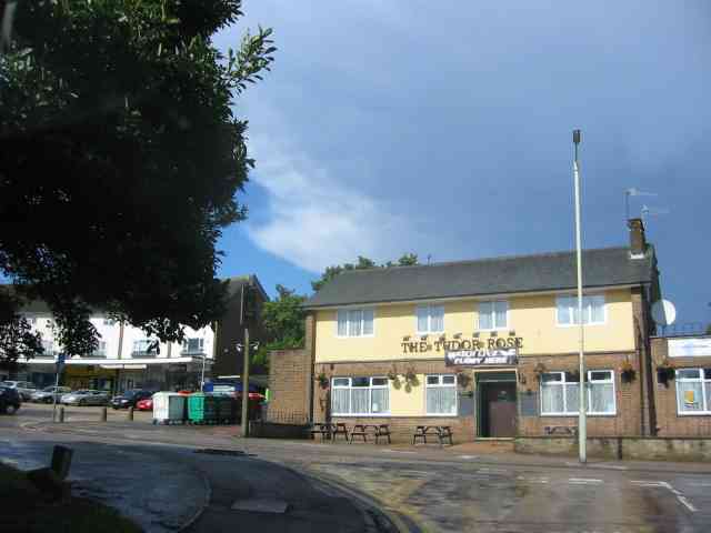
The village offers a range of amenities and facilities, including a local primary school, a village hall, and a church, providing a close-knit and welcoming community for residents. There are also several businesses and shops catering to the daily needs of the villagers.
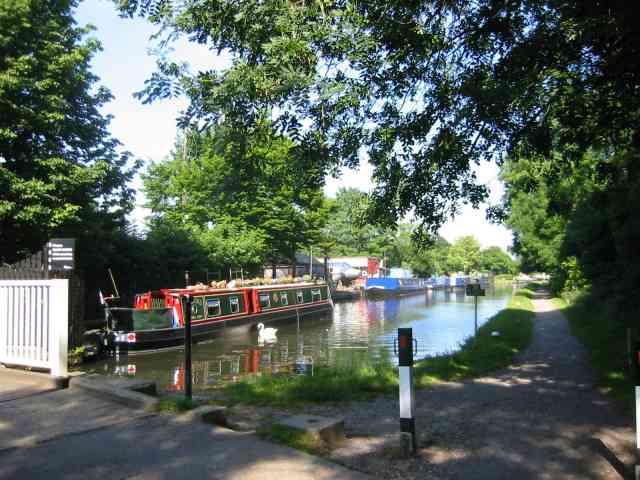
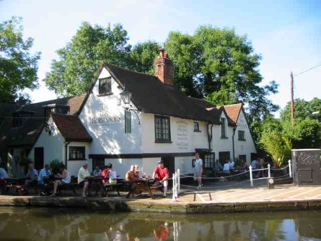
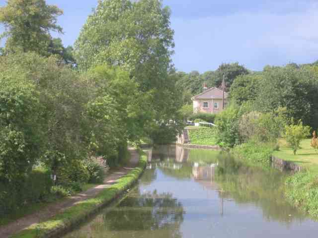
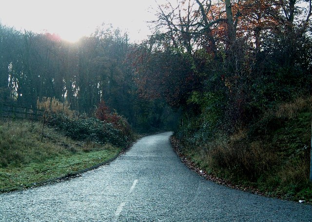
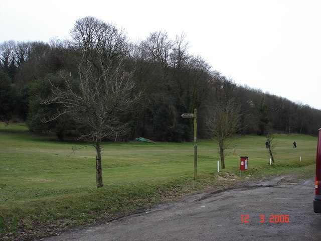
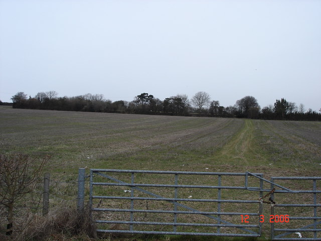
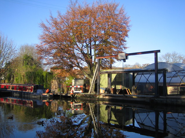
Nature enthusiasts will find themselves drawn to Bourne End's natural surroundings, with numerous walking trails and countryside paths to explore. The nearby Grand Union Canal and River Bulbourne offer opportunities for boating, fishing, and leisurely walks along the water's edge.
Bourne End benefits from excellent transport links, with easy access to major road networks such as the A41 and M25. The village is also served by regular bus services, connecting it to neighboring towns and villages.
In summary, Bourne End, Hertfordshire is a charming and historic village set in a beautiful countryside location. With its rich heritage, range of amenities, and natural beauty, it offers residents and visitors a peaceful and idyllic place to call home or explore.
If you have any feedback on the listing, please let us know in the comments section below.
Bourne End Images
Images are sourced within 2km of 51.74649/-0.52104 or Grid Reference TL0206. Thanks to Geograph Open Source API. All images are credited.


Bourne End is located at Grid Ref: TL0206 (Lat: 51.74649, Lng: -0.52104)
Administrative County: Hertfordshire
District: Dacorum
Police Authority: Hertfordshire
What 3 Words
///chains.crew.tricks. Near Bovingdon, Hertfordshire
Nearby Locations
Related Wikis

Bourne End rail crash
The Bourne End rail crash occurred on 30 September 1945 when a sleeper train from Perth to London Euston derailed, killing 43. The cause was driver error...
Bourne End, Hertfordshire
Bourne End is a village in Hertfordshire, England. It is situated on the ancient Roman Akeman Street between Berkhamsted and Hemel Hempstead, on the former...
Westbrook Hay Hill Climb
The Westbrook Hay Hill Climb was an annual motorsports event near Hemel Hempstead in England, where drivers competed on an uphill course. The Herts County...
Westbrook Hay
Westbrook Hay School is a culturally significant great house located in Hemel Hempstead, Hertfordshire, England, that has housed the independent Westbrook...
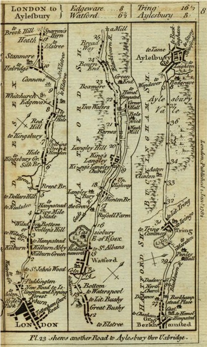
Sparrows Herne Turnpike Road
Sparrows Herne Turnpike Road from London to Aylesbury was an 18th-century English toll road passing through Watford and Hemel Hempstead. The route was...
Box Moor Trust
The Box Moor Trust is a charitable trust responsible for the management of nearly 500 acres of land within the parishes of Hemel Hempstead and Bovingdon...

Chaulden
Chaulden is a residential district in Hemel Hempstead, Hertfordshire, England located west of the town centre and bordering on open countryside. It was...

Shrubhill Common
Shrubhill Common is a 9.8 hectare Local Nature Reserve in Hemel Hempstead in Hertfordshire, England. It was Dacorum's first Local Nature reserve, its...
Nearby Amenities
Located within 500m of 51.74649,-0.52104Have you been to Bourne End?
Leave your review of Bourne End below (or comments, questions and feedback).