Pouchen End

Settlement in Hertfordshire Dacorum

England

Pouchen End

House overlooking common This house faces directly on to the Sheethanger Common.
House overlooking common Credit: Jack Hill

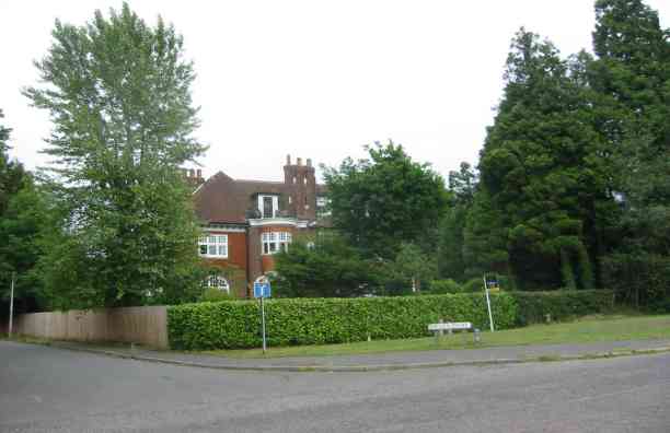
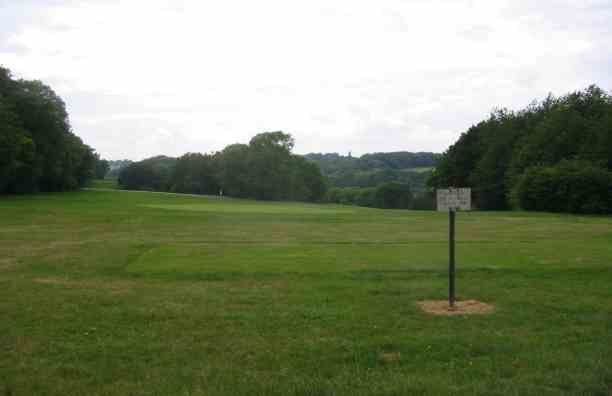
Pouchen End is a small village located in Hertfordshire, England. Situated approximately 5 miles east of the town of Harpenden, Pouchen End is known for its picturesque countryside setting and tranquil atmosphere. The village is nestled amidst rolling hills and lush green fields, providing residents and visitors with a peaceful and idyllic environment.

The history of Pouchen End dates back many centuries, and the village still retains its traditional charm with a mix of old and new buildings. It features a scattering of charming cottages, some of which date back to the 17th century, alongside more modern houses. The architecture in the village reflects the rural character of Hertfordshire, with its distinctive brick and timber structures.

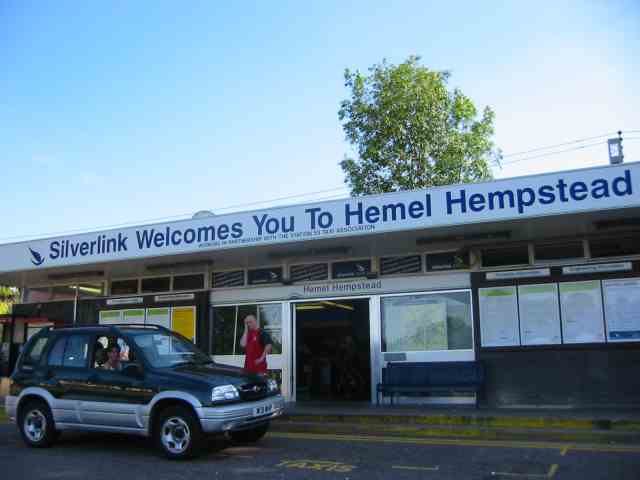
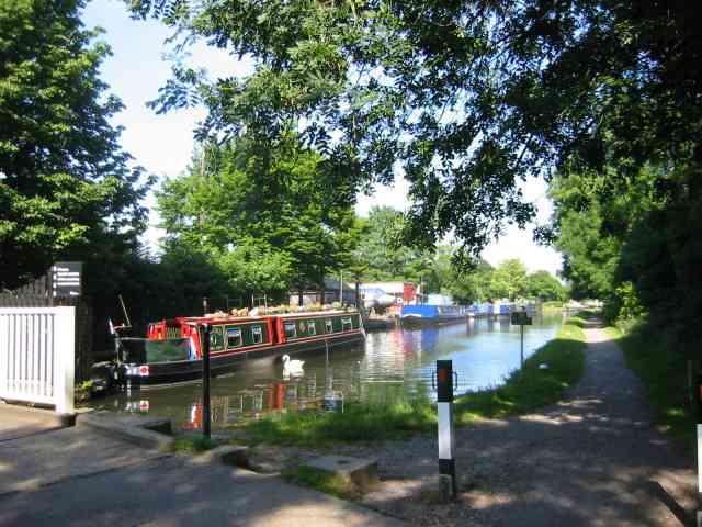
Pouchen End is primarily a residential area, with a small population of approximately 200 residents. The village lacks many amenities such as shops or schools, but it compensates for this by offering easy access to nearby towns and cities. The village is well-connected to transportation networks, making it a convenient location for commuters. The surrounding area offers a range of recreational activities, including walking and cycling trails, as well as opportunities for horse riding.

Overall, Pouchen End is a charming and quiet village that appeals to those seeking a peaceful rural lifestyle while still being within reach of urban amenities. Its scenic beauty and historical significance contribute to its appeal, making it an attractive place to live or visit in Hertfordshire.

If you have any feedback on the listing, please let us know in the comments section below.
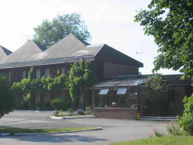
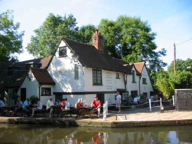
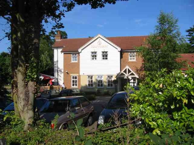
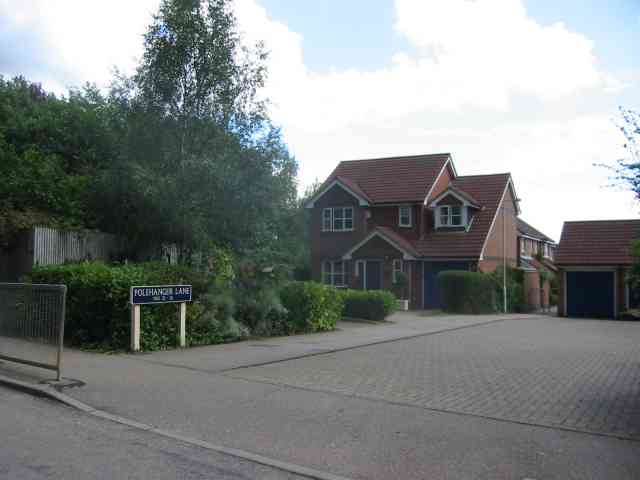
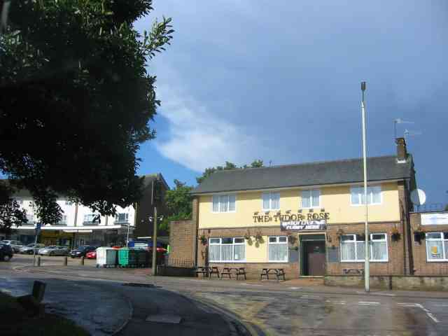
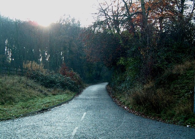
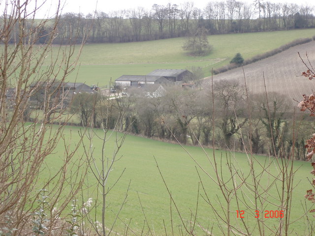
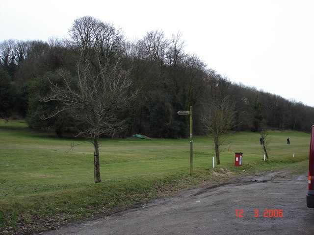
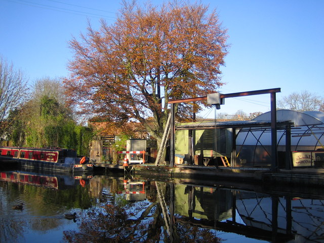
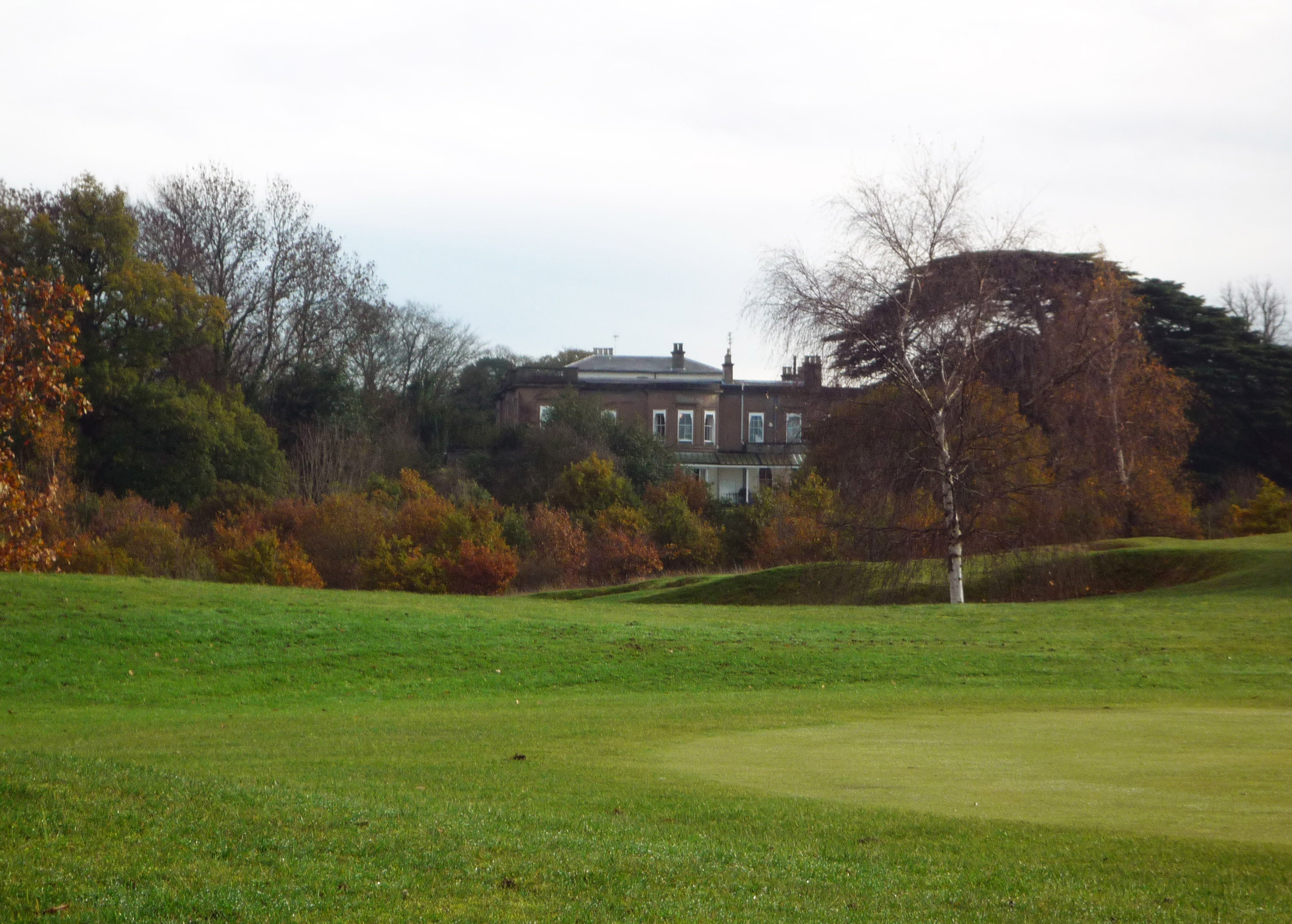
Pouchen End Images

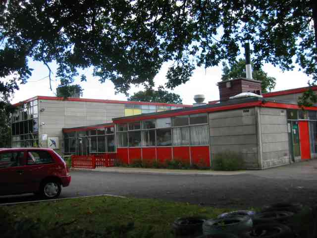
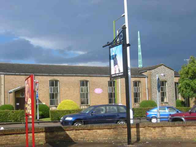
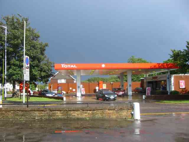
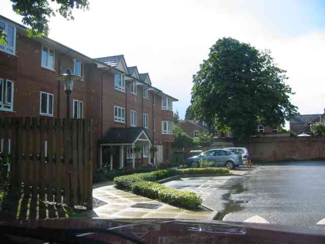
Images are sourced within 2km of 51.749976/-0.512234 or Grid Reference TL0206. Thanks to Geograph Open Source API. All images are credited.

House overlooking common This house faces directly on to the Sheethanger Common.
House overlooking common
This house faces directly on to the Sheethanger Common.
Boxmoor golf course Viewpoint from the highest part of the golf course.
Boxmoor golf course
Viewpoint from the highest part of the golf course.
Railway Station at Boxmoor for Hemel Hempstead Rather a brash announcement
Railway Station at Boxmoor for Hemel Hempstead
Rather a brash announcement
Grand Union Canal, Bourne End The bridge is a swing bridge with a pub alongside.
Grand Union Canal, Bourne End
The bridge is a swing bridge with a pub alongside.
Waterfront  Hotel at Bourne End This hotel was enlarged back in the 1960's
There are two pubs immediately opposite
Waterfront Hotel at Bourne End
This hotel was enlarged back in the 1960's There are two pubs immediately opposite
The Three Horseshoes  Bourne End This pub is immediately adjacent to the swing bridge in the first picture
The Three Horseshoes Bourne End
This pub is immediately adjacent to the swing bridge in the first picture
The Harvester Inn, Boxmoor, Hemel Hempstead This pub is immediately adjacent to the station forecourt
The Harvester Inn, Boxmoor, Hemel Hempstead
This pub is immediately adjacent to the station forecourt
House in Gutteridge Wood  Little Heath Looked to be a pleasant spot to live with tennis courts etc.
House in Gutteridge Wood Little Heath
Looked to be a pleasant spot to live with tennis courts etc.
Houses in Polehanger Lane  Gadebridge Hemel Hempstead Polehanger Lane is at the extremity of the town
Houses in Polehanger Lane Gadebridge Hemel Hempstead
Polehanger Lane is at the extremity of the town
Martindale School, Warners End,  Hemel Hempstead The red panels are just a tad too bright perhaps?
Martindale School, Warners End, Hemel Hempstead
The red panels are just a tad too bright perhaps?
Top of the World Pub and church behind, Hemel Hempstead Just another pub but why top of the world?
Top of the World Pub and church behind, Hemel Hempstead
Just another pub but why top of the world?
Filling Station  Hemel Hempstead A thunderstorm had just cleared and I waited in the 
top of the world for it to happen.
Filling Station Hemel Hempstead
A thunderstorm had just cleared and I waited in the top of the world for it to happen.
Houses Hanover Green off Puller Road, Hemel Hempstead A new development of flats perhaps?
Houses Hanover Green off Puller Road, Hemel Hempstead
A new development of flats perhaps?
The Tudor Rose Pub, Long Chaulden, Chaulden,  Hemel Hempstead Just another landmark
The Tudor Rose Pub, Long Chaulden, Chaulden, Hemel Hempstead
Just another landmark
Entry to A41 services near Bourne End This bridge carries the A41 over the sliproad down to the services which are to the left of this shot.
Entry to A41 services near Bourne End
This bridge carries the A41 over the sliproad down to the services which are to the left of this shot.
Upper Bourne End Lane entrance Upper Bourne End Lane was chopped in two by the construction of the new A41 a few years ago. This southern section is heading into Hanging Wood and comes to a dead end.
Upper Bourne End Lane entrance
Upper Bourne End Lane was chopped in two by the construction of the new A41 a few years ago. This southern section is heading into Hanging Wood and comes to a dead end.
Vale Farm
Vale Farm
Boxmoor Golf Club
Boxmoor Golf Club
Show me another place!

Pouchen End is located at Grid Ref: TL0206 (Lat: 51.749976, Lng: -0.512234)

Administrative County: Hertfordshire

District: Dacorum

Police Authority: Hertfordshire

What 3 Words

///ritual.warm.park. Near Bovingdon, Hertfordshire

Related Wikis

Chaulden

Chaulden is a residential district in Hemel Hempstead, Hertfordshire, England located west of the town centre and bordering on open countryside. It was...

Westbrook Hay Hill Climb

The Westbrook Hay Hill Climb was an annual motorsports event near Hemel Hempstead in England, where drivers competed on an uphill course. The Herts County...

Box Moor Trust

The Box Moor Trust is a charitable trust responsible for the management of nearly 500 acres of land within the parishes of Hemel Hempstead and Bovingdon...

Shrubhill Common

Shrubhill Common is a 9.8 hectare Local Nature Reserve in Hemel Hempstead in Hertfordshire, England. It was Dacorum's first Local Nature reserve, its...

Bourne End rail crash

The Bourne End rail crash occurred on 30 September 1945 when a sleeper train from Perth to London Euston derailed, killing 43. The cause was driver error...

Bourne End, Hertfordshire

Bourne End is a village in Hertfordshire, England. It is situated on the ancient Roman Akeman Street between Berkhamsted and Hemel Hempstead, on the former...

Westbrook Hay

Westbrook Hay School is a culturally significant great house located in Hemel Hempstead, Hertfordshire, England, that has housed the independent Westbrook...

John F Kennedy Catholic School

John F Kennedy Catholic School is a coeducational Roman Catholic secondary school located in Hemel Hempstead, Hertfordshire, England. It opened in 1967...

Related Videos

trending travel songs #trending #travel #youtubeshorts

MANOHAR TRAVVELS (DOMESTIC AND INTERNATIONAL TOURS ORGANIZER) 39 YEARS EXPERIENCE 31, PAVADAI ...

Gadebridge Park | Urban Park | Hemel | Hempstead | Hertfordshire | England

Gadebridge Park | Urban Park | Hemel | Hempstead | Hertfordshire | England Gadebridge Park is on the northern edges of Hemel ...

Nearby Amenities

Located within 500m of 51.749976,-0.512234
Description: Swingbridge
Lat/Long: 51.7464852/-0.5145394
Seamark Type: gate
Source: npe
Waterway: lock_gate
Lat/Long: 51.7464049/-0.5124774
Source: npe
Waterway: lock_gate
Lat/Long: 51.746844/-0.5170192
Waterway: lock_gate
Lat/Long: 51.7469084/-0.5173818
Seamark Type: gate
Waterway: lock_gate
Lat/Long: 51.7463571/-0.5120823
Post Box
Brand: Royal Mail
Brand Wikidata: Q638098
Brand Wikipedia: en:Royal Mail
Collection Times: Mo-Fr 09:00; Sa 07:00
Operator: Royal Mail
Operator Wikidata: Q638098
Post Box Type: lamp
Ref: HP1 146
Royal Cypher: EIIR
Royal Cypher Wikidata: Q33102113
Source: survey
Survey Date: 2015-06-07
Lat/Long: 51.7471133/-0.5138824
Bus Stop
Pouchen End Lane
Bus: yes
Naptan AtcoCode: 210021404340
Naptan Bearing: SE
Naptan CommonName: Pouchen End Lane
Naptan Crossing: o/s Texaco Garage
Naptan Indicator: adj
Naptan Landmark: o/s Texaco Garage
Naptan NaptanCode: hrtdjmdp
Naptan ShortCommonName: NA
Naptan Street: London Road
Naptan Verified: no
Public Transport: platform
Source: naptan_import
Lat/Long: 51.7456853/-0.514409
Railway: switch
Lat/Long: 51.7462892/-0.508851
Railway: switch
Lat/Long: 51.7464548/-0.5096497
Railway: switch
Lat/Long: 51.746509/-0.5096143
Railway: switch
Lat/Long: 51.7467195/-0.5105657
Railway: switch
Lat/Long: 51.7468542/-0.5112408
Railway: switch
Lat/Long: 51.747047/-0.5121292
Railway: switch
Lat/Long: 51.7470848/-0.5120197
Railway: switch
Lat/Long: 51.7472811/-0.5129508
Railway: switch
Lat/Long: 51.7476534/-0.5143787
Railway: switch
Lat/Long: 51.747845/-0.515252
Railway: switch
Lat/Long: 51.7478988/-0.5152395
Railway: switch
Lat/Long: 51.7480892/-0.5161413
Railway: switch
Lat/Long: 51.7481981/-0.5164214
Railway: switch
Lat/Long: 51.7483832/-0.5173051
Railway: switch
Lat/Long: 51.748557/-0.5177395
Railway: switch
Lat/Long: 51.7487583/-0.5186553
Turning Circle
Lat/Long: 51.7476983/-0.5060493
Bourne End Junction
Railway: junction
Lat/Long: 51.747535/-0.5138712
Water Point
Middlesex and Herts Boat Services Water Point
Access: customers
Addr City: Hemel Hempstead
Addr Country: GB
Addr County: Hertfordshire
Addr Housename: Winkwell Dock
Addr Place: Winkwell
Addr Postcode: HP1 2RZ
Addr Suburb: Bourne End
Drinking Water: yes
Email: kevinwinkwell@yahoo.co.uk
Fax: +441442863394
Fee: yes
Fee Amount: 2 GBP
Man Made: water_tap
Operator: Middlesex and Herts Boat Services
Phone: +441442872985
Waterway: water_point
Lat/Long: 51.7466021/-0.5137215
Sanitary Dump Station
Middlesex and Herts Boat Services Elsan Point
Access: customers
Addr City: Hemel Hempstead
Addr Country: GB
Addr County: Hertfordshire
Addr Housename: Winkwell Dock
Addr Place: Winkwell
Addr Postcode: HP1 2RZ
Addr Suburb: Bourne End
Email: kevinwinkwell@yahoo.co.uk
Fax: +441442863394
Fee: no
Operator: Middlesex and Herts Boat Services
Phone: +441442872985
Sanitary Dump Station: yes
Sanitary Dump Station Accepted: black_water
Sanitary Dump Station Basin: yes
Sanitary Dump Station Pump-out: no
Waste: toilet
Waterway: water_point
Lat/Long: 51.7468371/-0.5134841
Fuel
Middlesex and Herts Boat Services Fuel Pump
Access: customers
Addr City: Hemel Hempstead
Addr Country: GB
Addr County: Hertfordshire
Addr Housename: Winkwell Dock
Addr Place: Winkwell
Addr Postcode: HP1 2RZ
Addr Suburb: Bourne End
Email: kevinwinkwell@yahoo.co.uk
Fax: +441442863394
Fee: yes
Fee Amount: 0.9 GBP/litre
Fuel Diesel: yes
Operator: Middlesex and Herts Boat Services
Phone: +441442872985
Waterway: water_point
Lat/Long: 51.7466556/-0.5136479
Chandlery
Middlesex and Herts Boat Services Chandlery
Access: customers
Addr City: Hemel Hempstead
Addr Country: GB
Addr County: Hertfordshire
Addr Housename: Winkwell Dock
Addr Place: Winkwell
Addr Postcode: HP1 2RZ
Addr Suburb: Bourne End
Email: kevinwinkwell@yahoo.co.uk
Fax: +441442863394
Operator: Middlesex and Herts Boat Services
Phone: +441442872985
Shop: ship_chandler
Lat/Long: 51.7467326/-0.5139423
Direction: 220
Generator Method: photovoltaic
Generator Output Electricity: yes
Generator Solar Modules: 8
Generator Source: solar
Generator Type: solar_photovoltaic_panel
Location: roof
Power: generator
Lat/Long: 51.7482148/-0.5059398
Direction: 200
Generator Method: photovoltaic
Generator Output Electricity: yes
Generator Solar Modules: 10
Generator Source: solar
Generator Type: solar_photovoltaic_panel
Location: roof
Power: generator
Lat/Long: 51.7503562/-0.505107
Direction: 190
Generator Method: photovoltaic
Generator Output Electricity: yes
Generator Solar Modules: 17
Generator Source: solar
Generator Type: solar_photovoltaic_panel
Location: roof
Power: generator
Lat/Long: 51.7509964/-0.5053861
Direction: 185
Generator Method: photovoltaic
Generator Output Electricity: yes
Generator Solar Modules: 10
Generator Source: solar
Generator Type: solar_photovoltaic_panel
Location: roof
Power: generator
Lat/Long: 51.7488045/-0.5140408
Power: pole
Lat/Long: 51.7463187/-0.5141225
The data included in this document is from www.openstreetmap.org. The data is made available under ODbL.

Have you been to Pouchen End?

Leave your review of Pouchen End below (or comments, questions and feedback).