Tuckingmill

Settlement in Wiltshire

England

Tuckingmill

Hydropower sign board at Fonthill, Wiltshire This signboard erected by the Fonthill estate describes the history of water power in this part of the estate - primarily for the woollen industry - and how the estate is harnessing the outflow of the lake to generate electricity today.
Hydropower sign board at Fonthill, Wiltshire Credit: James Harrison

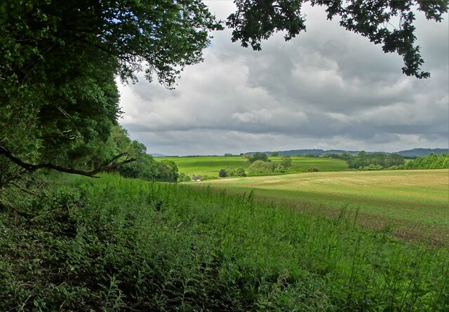
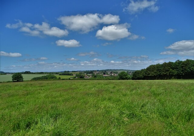
Tuckingmill is a small village located in the county of Wiltshire, England. It lies approximately 2 miles southeast of the town of Trowbridge and is surrounded by picturesque countryside and farmland. The village is situated on the B3107 road, which connects Trowbridge with the neighboring town of Bradford-on-Avon.

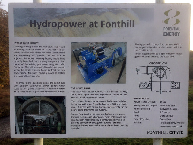
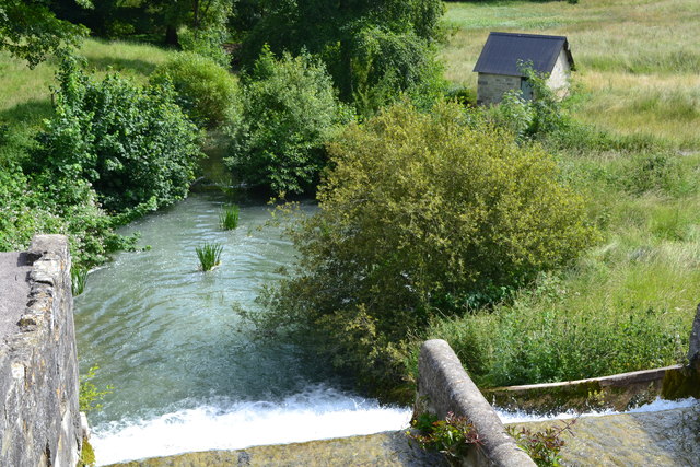
Tuckingmill has a long history, with evidence of human occupation in the area dating back to the Roman times. The village was originally centered around a mill, which was used for grinding corn and producing flour. Today, the mill no longer operates, but its remnants can still be seen, adding to the historical charm of the village.

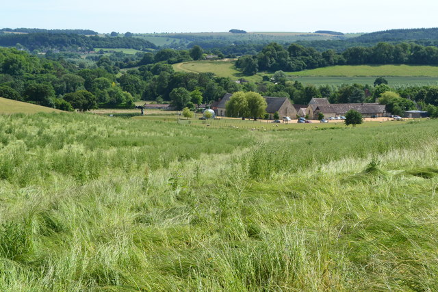
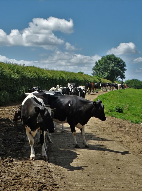
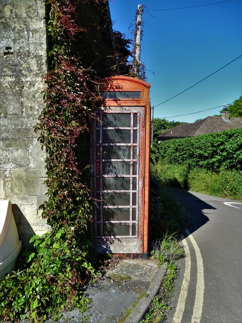
The village itself is relatively small, with a close-knit community and a population of around 500 residents. It is characterized by traditional stone cottages and houses, giving it a quaint and rural atmosphere. Tuckingmill is known for its peaceful and idyllic setting, making it a popular destination for those seeking a quiet retreat from the bustle of nearby towns.

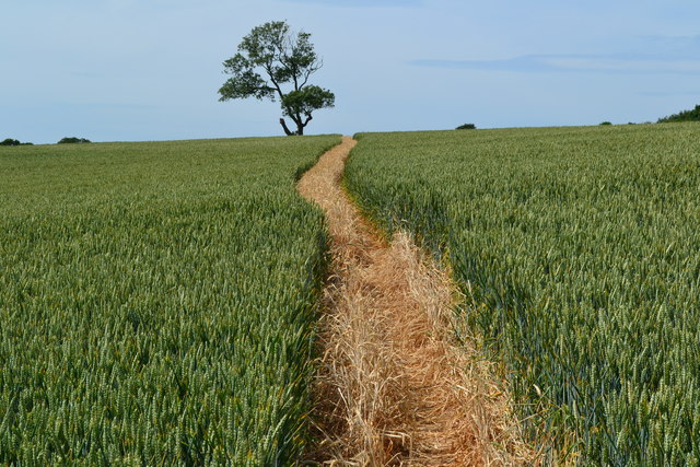
Despite its small size, Tuckingmill has a few amenities to cater to its residents' needs. These include a village hall, a primary school, and a local pub, providing a sense of community and a focal point for social gatherings. The village is also surrounded by beautiful countryside, offering opportunities for outdoor activities such as walking, cycling, and exploring the nearby woodlands.

Overall, Tuckingmill is a charming and peaceful village, rich in history and surrounded by natural beauty. It offers a tranquil living environment while still providing easy access to nearby towns and amenities.

If you have any feedback on the listing, please let us know in the comments section below.
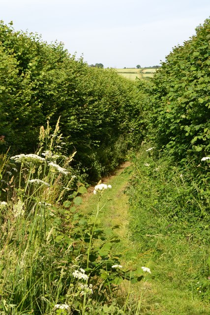
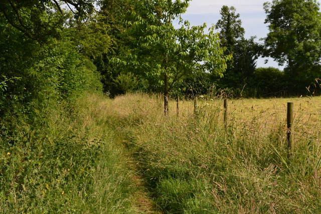
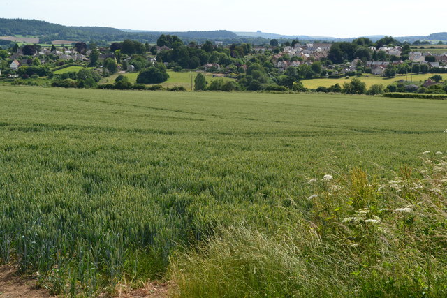
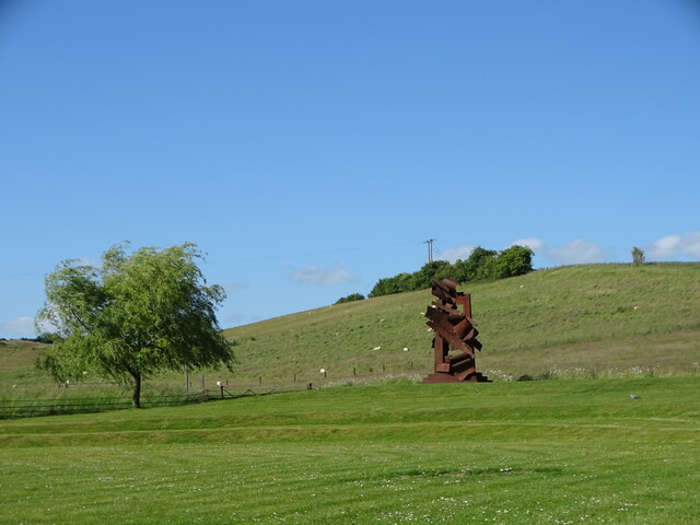
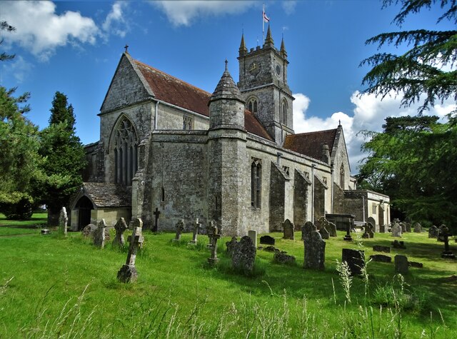
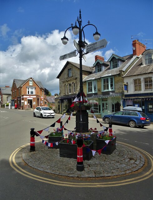
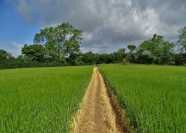
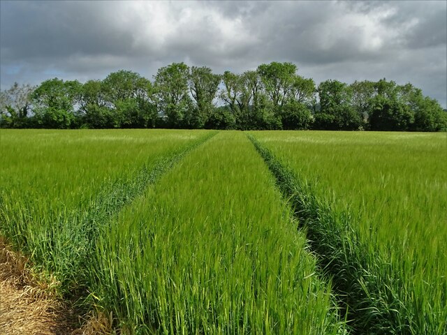
Tuckingmill Images

Images are sourced within 2km of 51.061863/-2.091297 or Grid Reference ST9329. Thanks to Geograph Open Source API. All images are credited.

Hydropower sign board at Fonthill, Wiltshire This signboard erected by the Fonthill estate describes the history of water power in this part of the estate - primarily for the woollen industry - and how the estate is harnessing the outflow of the lake to generate electricity today.
Hydropower sign board at Fonthill, Wiltshire
This signboard erected by the Fonthill estate describes the history of water power in this part of the estate - primarily for the woollen industry - and how the estate is harnessing the outflow of the lake to generate electricity today.
Valley view towards Place Farm The buildings at Place Farm now house an arts centre, Messums Wiltshire.
Valley view towards Place Farm
The buildings at Place Farm now house an arts centre, Messums Wiltshire.
No doubt about the footpath! Clearly marked path through crops towards distant tree.
No doubt about the footpath!
Clearly marked path through crops towards distant tree.
View over the dam cascade, Fonthill Lake
Footpath near Tisbury Reservoir
Field edge path parallel to Hindon Lane
View towards Tisbury
At Messums Wiltshire At Place Farm, close to the magnificent tithe barn, there was an outdoor exhibition of the sculptural work of Albert Paley (b.1944)
At Messums Wiltshire
At Place Farm, close to the magnificent tithe barn, there was an outdoor exhibition of the sculptural work of Albert Paley (b.1944)
St John the Baptist Church, Tisbury This magnificent building evolved over ten centuries and is Grade I listed.
St John the Baptist Church, Tisbury
This magnificent building evolved over ten centuries and is Grade I listed.
The heart of Tisbury In the village square looking to the post office on the left beyond the elaboate signpost with lights above. The bunting and woollen bollard covers relate to Platinum Jubilee celebrations earlier in the month. Did the powers that be really have to paint double yellow lines around the historical structure?
The heart of Tisbury
In the village square looking to the post office on the left beyond the elaboate signpost with lights above. The bunting and woollen bollard covers relate to Platinum Jubilee celebrations earlier in the month. Did the powers that be really have to paint double yellow lines around the historical structure?
Path east of Tisbury It's nice when landowners make the effort to show the way across their land.
Path east of Tisbury
It's nice when landowners make the effort to show the way across their land.
Farmland east of Tisbury
Looking west to Hardene Lodge
Unnamed lane near Wardour, Wiltshire I would guess that it is known as High Wood Lane as it leads to High Wood Lodge
Unnamed lane near Wardour, Wiltshire
I would guess that it is known as High Wood Lane as it leads to High Wood Lodge
Approaching Tisbury from the south
Cows in a lane at Wallmead Farm It was a warm afternoon and they were queuing for piped water in a pretty orderly manner.
Cows in a lane at Wallmead Farm
It was a warm afternoon and they were queuing for piped water in a pretty orderly manner.
Telephone box in Tisbury Surprisingly, still working though coins are not allowed any more.
Telephone box in Tisbury
Surprisingly, still working though coins are not allowed any more.
"Man of Stones" by Laurence Edwards At Messums Wiltshire in Tisbury. Cast in bronze and first unveiled in November 2019 within the sculpture park of the Sainsbury Centre for Visual Arts at The University of East Anglia.
"Man of Stones" by Laurence Edwards
At Messums Wiltshire in Tisbury. Cast in bronze and first unveiled in November 2019 within the sculpture park of the Sainsbury Centre for Visual Arts at The University of East Anglia.
Show me another place!

Tuckingmill is located at Grid Ref: ST9329 (Lat: 51.061863, Lng: -2.091297)

Unitary Authority: Wiltshire

Police Authority: Wiltshire

What 3 Words

///blotting.fells.crucially. Near Tisbury, Wiltshire

Nearby Locations

Oddford Copse Tuckingmill

Related Wikis

Tisbury, Wiltshire

Tisbury is a large village and civil parish approximately 13 miles (21 km) west of Salisbury in the English county of Wiltshire. With a population at the...

Tisbury railway station

Tisbury railway station serves the village of Tisbury in Wiltshire, England. It is currently managed by South Western Railway and is on the West of England...

Vale of Wardour

The Vale of Wardour encompasses the valley of the River Nadder in the county of Wiltshire, England. == Geography == === Topography === The Vale of Wardour...

Place Farm, Tisbury

Place Farm is a complex of medieval buildings in the village of Tisbury, Wiltshire, England. They originally formed a grange of Shaftesbury Abbey. The...

Nearby Amenities

Located within 500m of 51.061863,-2.091297
Tuckingmill
Place: hamlet
Wikidata: Q22917062
Lat/Long: 51.063021/-2.0862047
Material: wood
Power: pole
Source: bing
Lat/Long: 51.0595171/-2.0956961
Material: wood
Power: pole
Source: bing
Lat/Long: 51.060727/-2.0949403
Material: wood
Power: pole
Source: bing
Lat/Long: 51.0621362/-2.0954021
Material: wood
Power: pole
Source: bing
Lat/Long: 51.0621942/-2.094231
Material: wood
Power: pole
Source: bing
Lat/Long: 51.0622825/-2.0934793
Material: wood
Power: pole
Source: bing
Lat/Long: 51.0637846/-2.0931531
Give Way
Direction: forward
Lat/Long: 51.0614776/-2.0927801
Power: pole
Lat/Long: 51.06204/-2.0882365
Power: pole
Lat/Long: 51.0619928/-2.0901087
Power: pole
Lat/Long: 51.0619389/-2.0920667
Power: pole
Lat/Long: 51.0655934/-2.0882204
Power: pole
Lat/Long: 51.0633397/-2.0918253
Power: pole
Lat/Long: 51.0615899/-2.0945585
Power: pole
Lat/Long: 51.0640713/-2.0949313
Power: pole
Lat/Long: 51.0629385/-2.0952183
Power: pole
Lat/Long: 51.0615984/-2.0951191
Power: pole
Lat/Long: 51.0644135/-2.0927614
Power: pole
Lat/Long: 51.062898/-2.0937538
Power: pole
Lat/Long: 51.0616287/-2.094596
Power: pole
Lat/Long: 51.0615545/-2.0951459
Power: pole
Lat/Long: 51.0609494/-2.0965004
Power: pole
Lat/Long: 51.0603121/-2.0979327
Power: pole
Lat/Long: 51.0662878/-2.0912272
Power: pole
Lat/Long: 51.0657602/-2.0916536
Give Way
Direction: backward
Lat/Long: 51.0613578/-2.092498
Information: guidepost
Tourism: information
Lat/Long: 51.0614438/-2.0926714
Public Bookcase
Booth: K6
Disused Amenity: telephone
Man Made: telephone_box
Public Bookcase Type: phone_box
Lat/Long: 51.0614567/-2.0926128
The data included in this document is from www.openstreetmap.org. The data is made available under ODbL.

Have you been to Tuckingmill?

Leave your review of Tuckingmill below (or comments, questions and feedback).