Bourn
Settlement in Cambridgeshire South Cambridgeshire
England
Bourn
Bourn is a charming village located in the county of Cambridgeshire, England. Situated approximately 10 miles west of Cambridge, it is nestled in the beautiful countryside, offering a tranquil and picturesque setting for residents and visitors alike.
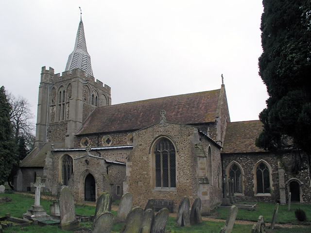
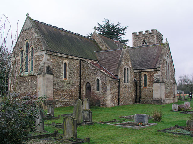
With a history dating back to the Roman times, Bourn is rich in heritage and boasts several historical landmarks. The Grade I listed St. Helena's Church, dating back to the 13th century, is a prominent feature in the village, showcasing stunning architectural design and intricate stained glass windows.
The village also offers a range of amenities and services for its residents. Bourn Primary Academy is the local primary school, providing education for children aged 4-11. There is also a village hall, where various community events and activities take place, fostering a strong sense of community spirit.
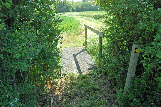
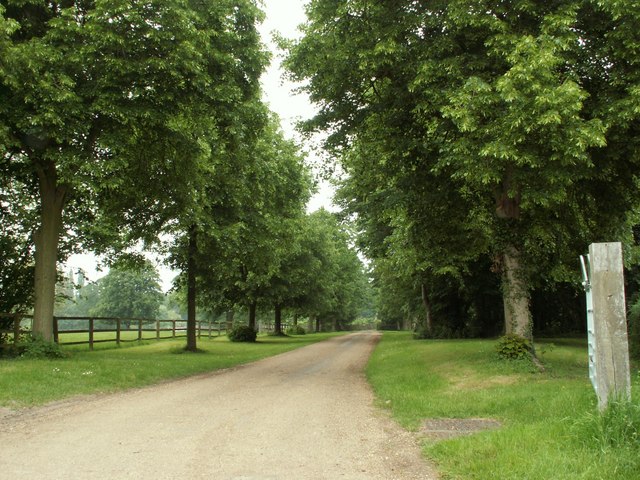
For those seeking outdoor recreation, Bourn is surrounded by beautiful countryside, offering ample opportunities for walking, cycling, and exploring nature. The nearby Bourn Golf Club provides a scenic and challenging course for golf enthusiasts.
Bourn is well-connected to nearby towns and cities, with easy access to major road networks such as the A428 and A14. This makes it a convenient location for commuters, who can easily access the bustling city of Cambridge or other nearby towns.
Overall, Bourn offers a peaceful and idyllic village lifestyle, combining a rich history, natural beauty, and a strong community spirit, making it an appealing place to live or visit in Cambridgeshire.
If you have any feedback on the listing, please let us know in the comments section below.
Bourn Images
Images are sourced within 2km of 52.190683/-0.063645 or Grid Reference TL3256. Thanks to Geograph Open Source API. All images are credited.


Bourn is located at Grid Ref: TL3256 (Lat: 52.190683, Lng: -0.063645)
Administrative County: Cambridgeshire
District: South Cambridgeshire
Police Authority: Cambridgeshire
What 3 Words
///norms.clerk.dragon. Near Cambourne, Cambridgeshire
Nearby Locations
Related Wikis

Bourn
Bourn is a small village and civil parish in South Cambridgeshire, England. Surrounding villages include Caxton, Eltisley and Cambourne. It is 8 miles...

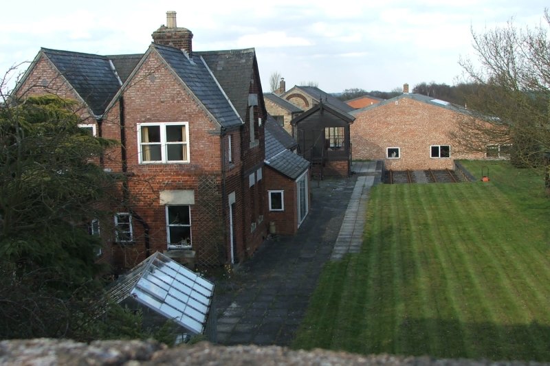
Bourn Hall Clinic
Bourn Hall Clinic in Bourn, Cambridgeshire, England, is a centre for the treatment of infertility. The original building, Bourn Hall, is about 400 years...
Bourn Castle
Bourn Castle was in the village of Bourn in Cambridgeshire, 10 miles to the west of Cambridge (grid reference TL322562). It originally consisted of wooden...

Wysing Arts Centre
Wysing Arts Centre is a contemporary arts residency centre and campus for artistic production, experimentation and learning in South Cambridgeshire, England...
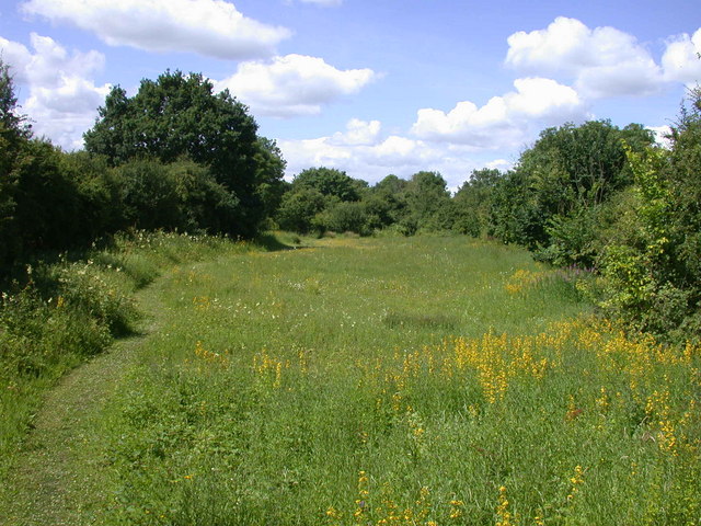
Kingston and Bourn Old Railway
Kingston and Bourn Old Railway or Kingston Amenity Area is a linear 1.9-hectare (4.7-acre) Local Nature Reserve between Kingston and Bourn in Cambridgeshire...
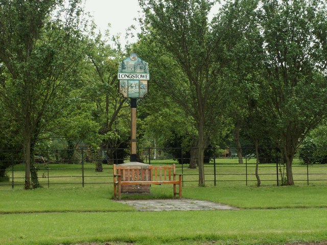
Longstowe
Longstowe is a civil parish and small rural village of nearly 200 residents in South Cambridgeshire, England, 12 miles (19 km) west of Cambridge. The population...

Bourn Windmill
Bourn Windmill is an open trestle post mill at Bourn in Cambridgeshire, England, which was standing in 1636. It is a Grade I Listed building and a Scheduled...
Old North Road railway station
Old North Road was a railway station on the Varsity Line which served the small village of Longstowe near Bourn in Cambridgeshire. As its name suggests...
Nearby Amenities
Located within 500m of 52.190683,-0.063645Have you been to Bourn?
Leave your review of Bourn below (or comments, questions and feedback).