Boundstone

Settlement in Surrey Waverley

England

Boundstone

Oast House
Oast House Credit: Oast House Archive

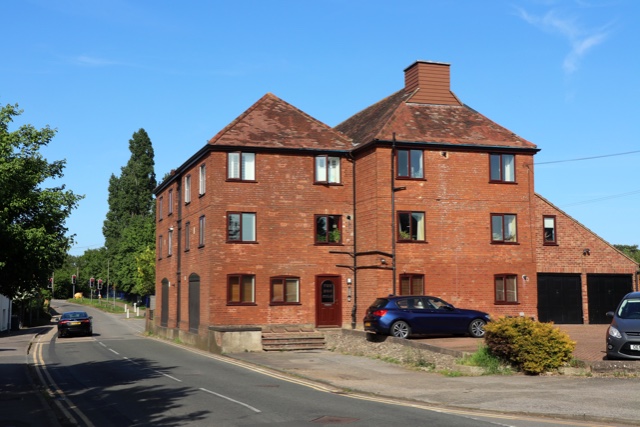
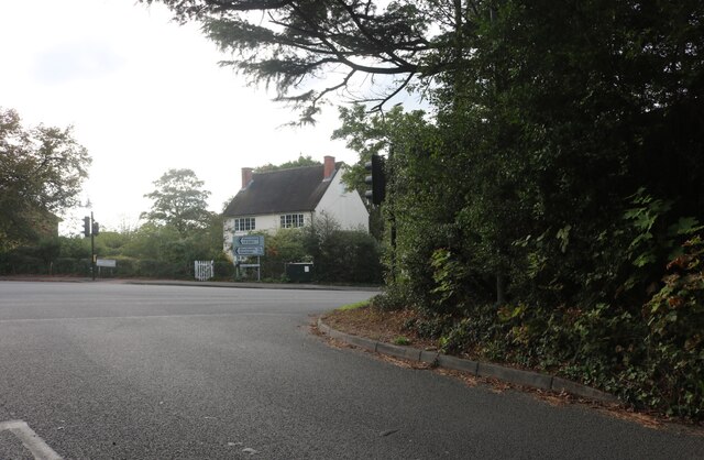
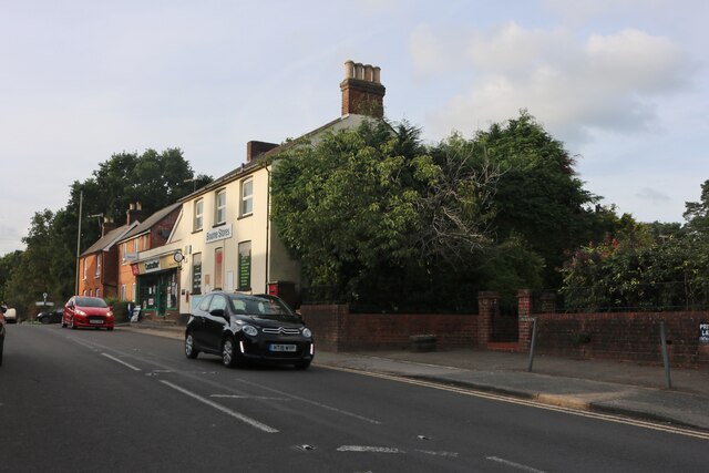
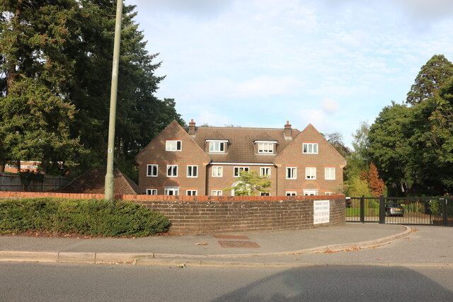
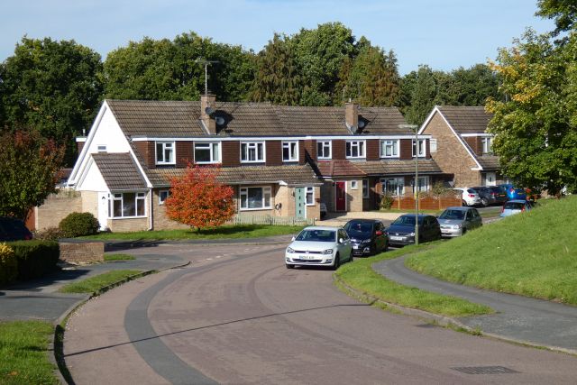
Boundstone is a small village located in the county of Surrey, England. Situated approximately 5 miles south-east of Guildford, it is part of the Waverley Borough and falls within the civil parish of Witley. The village is surrounded by picturesque countryside, with rolling hills and lush green landscapes.

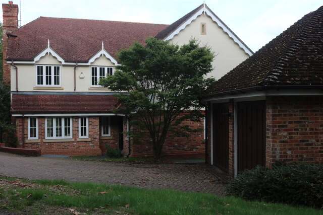
Boundstone has a rich history, dating back to the medieval period. The name itself is derived from the Old English words "bund" and "stan," meaning "boundary stone," which suggests that the village was once a significant boundary marker in the area. Today, the village retains its quaint charm, with a scattering of traditional cottages and houses.

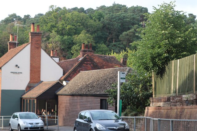
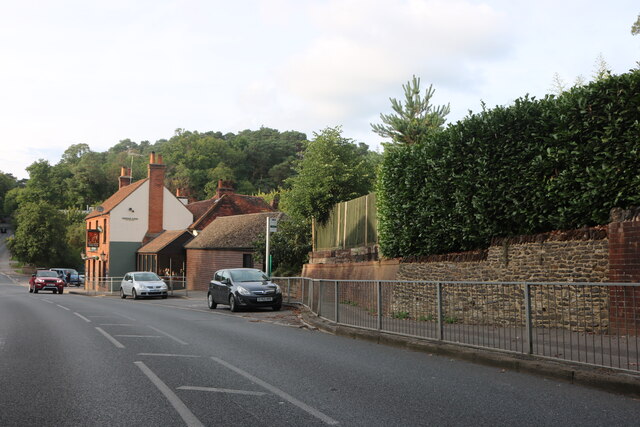
Despite its small size, Boundstone has a strong sense of community. The village boasts a local pub, The White Hart, which serves as a gathering place for residents and visitors alike. Additionally, the village is home to a primary school, providing education to the local children.

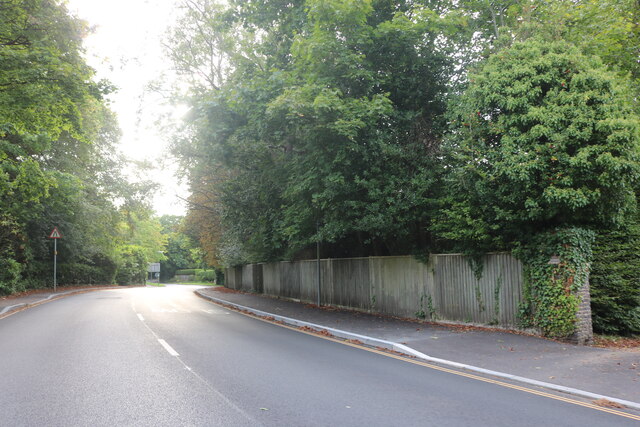
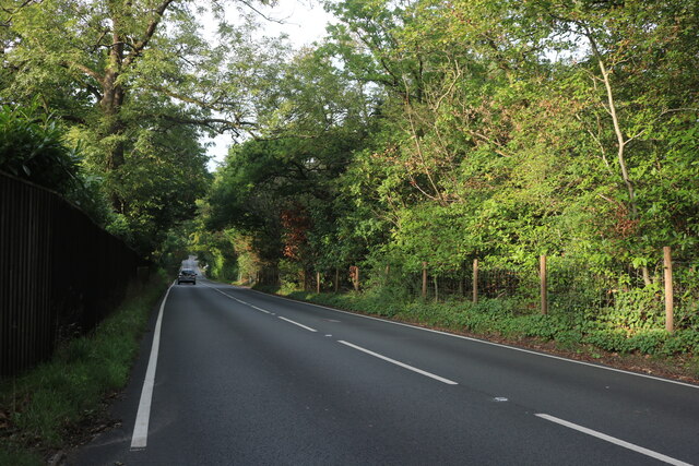
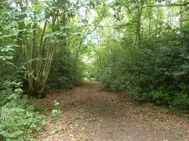
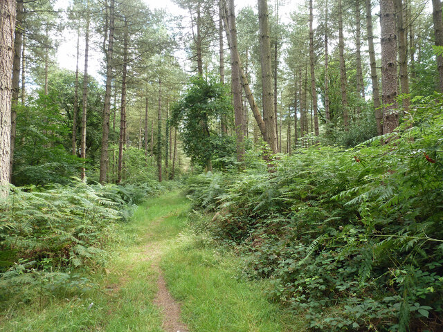
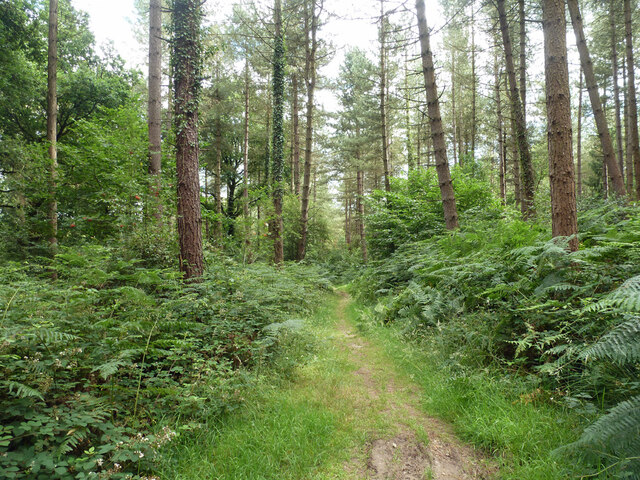
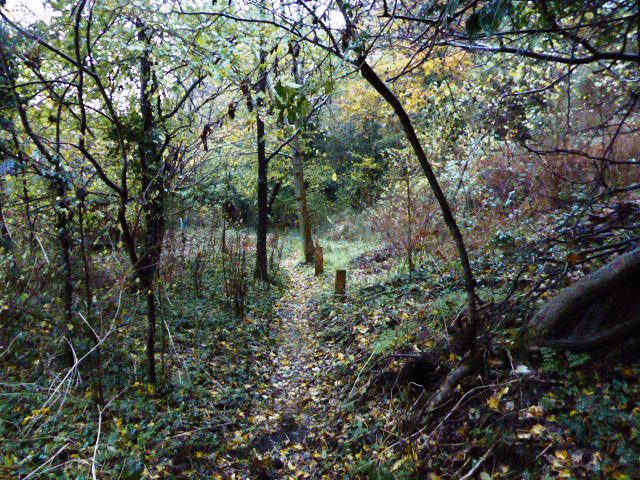
For those seeking outdoor activities, Boundstone offers easy access to the surrounding countryside, making it an ideal location for hiking, cycling, and exploring nature. The nearby Surrey Hills Area of Outstanding Natural Beauty is a popular destination for outdoor enthusiasts, offering stunning views and a variety of trails.

Overall, Boundstone is a tranquil village that provides a peaceful escape from the hustle and bustle of city life. With its idyllic setting and strong community spirit, it is a charming place to visit or reside in Surrey.

If you have any feedback on the listing, please let us know in the comments section below.
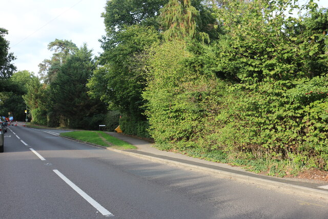
Boundstone Images

Images are sourced within 2km of 51.18997/-0.805959 or Grid Reference SU8344. Thanks to Geograph Open Source API. All images are credited.

Great Austins, Farnham
Old Farnham Lane at the junction of Frensham Road
View by Frensham Road, Bourne Looking towards The Fox pub.
View by Frensham Road, Bourne
Looking towards The Fox pub.
Frensham Road, Bourne Looking towards The Fox pub.
Frensham Road, Bourne
Looking towards The Fox pub.
House on Frensham Road, Bourne
Gong Hill north of Millbridge At the entrance to Edgeborough School
Gong Hill north of Millbridge
At the entrance to Edgeborough School
Gong Hill north of Millbridge
Frensham Road, Millbridge
View towards Gong Hill, Millbridge
Gong Hill entering Farnham
Temporary lights on Frensham Road, Bourne
Frensham Road, Bourne
Priory Court, Farnham
Riverdale, Farnham On the edge of Wrecclesham.
Riverdale, Farnham
On the edge of Wrecclesham.
Path, Alice Holt Forest Heading south in the Glenbervie Inclosure part of the Forestry Commission woodland.
Path, Alice Holt Forest
Heading south in the Glenbervie Inclosure part of the Forestry Commission woodland.
Path, Alice Holt Forest Heading south in the Glenbervie Inclosure part of the Forestry Commission woodland.
Path, Alice Holt Forest
Heading south in the Glenbervie Inclosure part of the Forestry Commission woodland.
Path, Alice Holt Forest Heading south in the Glenbervie Inclosure part of the Forestry Commission woodland.
Path, Alice Holt Forest
Heading south in the Glenbervie Inclosure part of the Forestry Commission woodland.
Show me another place!

Boundstone is located at Grid Ref: SU8344 (Lat: 51.18997, Lng: -0.805959)

Administrative County: Surrey

District: Waverley

Police Authority: Surrey

What 3 Words

///richer.overture.luggage. Near Farnham, Surrey

Nearby Locations

Boundstone Shortheath

Related Wikis

Underdown nature reserve

Underdown is a 1-hectare (2.5-acre) nature reserve in Farnham in Surrey. It is owned and managed by the Surrey Wildlife Trust.This reserve was donated...

Edgeborough School

Edgeborough School is a prep school near Farnham, Surrey in England. It is currently attended by ~360 kids between 2 and 13. The Head is Daniel Cox, former...
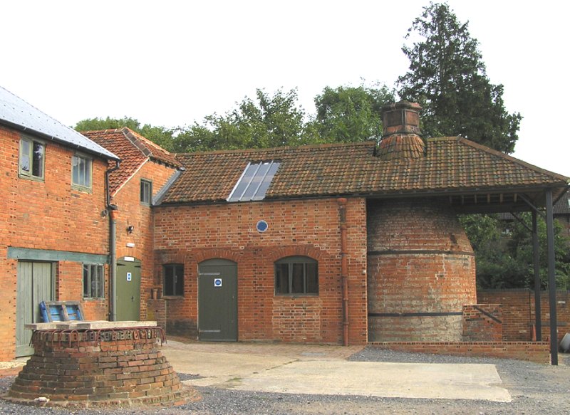
Farnham Pottery

Farnham Pottery is located in Wrecclesham near Farnham, Surrey. This is one of the best preserved examples of a working Victorian country pottery left...

Green Lane Cemetery, Farnham

Green Lane Cemetery is a small cemetery on Green Lane in Farnham in Surrey, one of four cemeteries owned and maintained by Farnham Town Council. The Chapel...

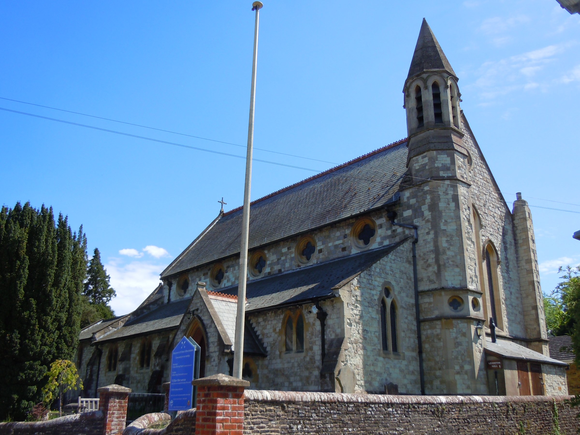
St Peter's Church, Wrecclesham

St Peter's Church is an active Anglican Parish church in Wrecclesham, a village outside Farnham in Surrey. It is in the deanery of Farnham, the archdeaconry...

Wrecclesham

Wrecclesham is a village on the southern outskirts of the town of Farnham in Surrey, England. Its local government district is the Borough of Waverley...

Badshot Lea F.C.

Badshot Lea Football Club is a football club based in Wrecclesham, Surrey, England. The club are currently members of the Isthmian League South Central...

Gong Hill

Gong Hill is a 5.9-hectare (15-acre) biological Site of Special Scientific Interest south of Farnham in Surrey.This heathland site is dominated by ling...

Nearby Amenities

Located within 500m of 51.18997,-0.805959
Defibrillator
Booth: K6
Covered: booth
Defibrillator Location: In Yellow and Green box in renovated K6 phone booth
Emergency: defibrillator
Indoor: yes
Opening Hours: 24/7
Lat/Long: 51.1898807/-0.8061852
Post Box
Collection Times: Mo-Fr 09:00; Sa 07:00
Operator: Royal Mail
Post Box Type: wall
Ref: GU10 48D
Royal Cypher: GVIR
Royal Cypher Wikidata: Q33102169
Lat/Long: 51.1899107/-0.8061402
Pub
The Bat and Ball
Addr City: Farnham
Addr Housenumber: 15
Addr Postcode: GU10 4SA
Addr Street: Bat and Ball Lane
Addr Suburb: Wrecclesham
Fhrs Id: 165916
Food: yes
Garden: yes
Phone: +44 1252 792108
Website: http://www.thebatandball.co.uk/
Lat/Long: 51.1930829/-0.808939
Boundstone
Building: yes
Source: npe
Lat/Long: 51.1884506/-0.8078668
Bus Stop
Glynswood
Naptan AtcoCode: 40004411304B
Naptan Bearing: SW
Naptan CommonName: Glynswood
Naptan Indicator: Just after
Naptan Landmark: Glynswood
Naptan NaptanCode: surdwjgt
Naptan PlusbusZoneRef: ALDRSHT
Naptan Street: Boundstone Road
Naptan Verified: no
Source: naptan_import
Lat/Long: 51.1878871/-0.8104
Bus Stop
Glynswood
Bus: yes
Departures Board: timetable
Naptan AtcoCode: 40004411304C
Naptan Bearing: E
Naptan CommonName: Glynswood
Naptan Indicator: Just Before
Naptan Landmark: Glynswood
Naptan NaptanCode: surdwjgw
Naptan PlusbusZoneRef: ALDRSHT
Naptan Street: Boundstone Road
Naptan Verified: no
Public Transport: platform
Shelter: no
Source: naptan_import
Lat/Long: 51.1880717/-0.8100697
Bus Stop
Burnt Hill Way
Naptan AtcoCode: 40004411305B
Naptan Bearing: SW
Naptan CommonName: Burnt Hill Way
Naptan Indicator: Just after
Naptan Landmark: Burnt Hill Way
Naptan NaptanCode: surdwjma
Naptan PlusbusZoneRef: ALDRSHT
Naptan Street: Boundstone Road
Naptan Verified: no
Source: naptan_import
Lat/Long: 51.1898233/-0.8060228
Bus Stop
Burnt Hill Way
Bus: yes
Departures Board: timetable
Naptan AtcoCode: 40004411305C
Naptan Bearing: SW
Naptan CommonName: Burnt Hill Way
Naptan Indicator: Just Before
Naptan Landmark: Burnt Hill Way
Naptan NaptanCode: surdwjmj
Naptan PlusbusZoneRef: ALDRSHT
Naptan Street: Boundstone Road
Naptan Verified: no
Public Transport: platform
Shelter: no
Source: naptan_import
Lat/Long: 51.1898518/-0.8062275
Bus Stop
Jubilee Lane
Naptan AtcoCode: 40004411306A
Naptan Bearing: NW
Naptan CommonName: Jubilee Lane
Naptan Indicator: Just after
Naptan Landmark: Jubilee Lane
Naptan NaptanCode: surdwjmp
Naptan PlusbusZoneRef: ALDRSHT
Naptan Street: Sandrock Hill Road
Naptan Verified: no
Source: naptan_import
Lat/Long: 51.191138/-0.8081984
Bus Stop
Beacon Close
Naptan AtcoCode: 40004411307B
Naptan Bearing: SE
Naptan CommonName: Beacon Close
Naptan Indicator: Just Before
Naptan Landmark: Beacon Close
Naptan NaptanCode: surdwjmt
Naptan PlusbusZoneRef: ALDRSHT
Naptan Street: Sandrock Hill Road
Naptan Verified: no
Source: naptan_import
Lat/Long: 51.1922074/-0.8116627
Bus Stop
Beacon Close
Bus: yes
Departures Board: timetable
Naptan AtcoCode: 40004411982A
Naptan Bearing: NW
Naptan CommonName: Beacon Close
Naptan Indicator: Just after
Naptan Landmark: Beacon Close
Naptan NaptanCode: surgmtjt
Naptan PlusbusZoneRef: ALDRSHT
Naptan Street: Sandrock Hill Road
Naptan Verified: no
Public Transport: platform
Shelter: no
Source: naptan_import
Lat/Long: 51.1922084/-0.8117768
Bus Stop
Jubilee Lane
Naptan AtcoCode: 40004411986A
Naptan Bearing: SE
Naptan CommonName: Jubilee Lane
Naptan Indicator: Just Before
Naptan Landmark: Jubilee Lane
Naptan NaptanCode: surgmtmj
Naptan PlusbusZoneRef: ALDRSHT
Naptan Street: Sandrock Hill Road
Naptan Verified: no
Source: naptan_import
Lat/Long: 51.1912268/-0.8080816
Ground Control Yard
Postal Code: GU10 3JB
Lat/Long: 51.1868344/-0.8024481
Power: substation
Lat/Long: 51.1893798/-0.8043546
Post Box
Brand: Royal Mail
Brand Wikidata: Q638098
Collection Times: Mo-Fr 17:00; Sa 11:00
Drive Through: no
Operator: Royal Mail
Operator Wikidata: Q638098
Post Box Type: lamp
Ref: GU10 21
Royal Cypher: EIIR
Royal Cypher Wikidata: Q33102113
Lat/Long: 51.1920387/-0.8116216
Give Way
Direction: forward
Lat/Long: 51.1900842/-0.8058597
Give Way
Direction: forward
Lat/Long: 51.1899964/-0.8058108
Give Way
Direction: backward
Lat/Long: 51.1892391/-0.8048884
Boundstone
Place: neighbourhood
Wikidata: Q4950011
Lat/Long: 51.1905098/-0.8098857
Entrance: yes
Lat/Long: 51.1930156/-0.809051
Colour: green
Man Made: street_cabinet
Operator: British Telecom
Ref: 6
Street Cabinet: telecom
Telecom: connection_point
Telecom Medium: copper
Utility: telecom
Lat/Long: 51.1889291/-0.8075287
The data included in this document is from www.openstreetmap.org. The data is made available under ODbL.

Have you been to Boundstone?

Leave your review of Boundstone below (or comments, questions and feedback).