Trofarth

Settlement in Denbighshire

Wales

Trofarth

Bodlondeb Farmland near Bodlondeb
Bodlondeb Credit: Dot Potter

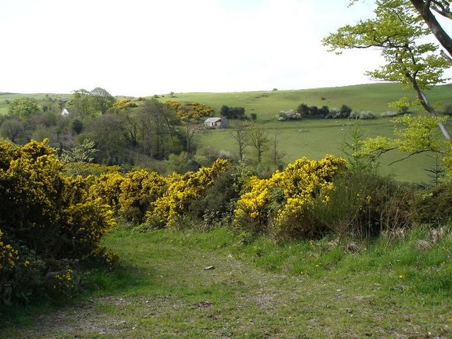
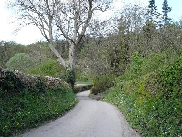
Trofarth is a small rural village located in Denbighshire, Wales. Situated in the picturesque Vale of Clwyd, it lies approximately 4 miles southeast of the market town of Denbigh. The village is nestled amidst rolling hills and offers breathtaking views of the surrounding countryside.

Trofarth has a rich history, with evidence of human settlement dating back to prehistoric times. It is believed that the area was inhabited by Celts and later Romans, as several artifacts have been discovered in the vicinity. The village itself is characterized by a collection of traditional stone cottages and farmhouses, which add to its quaint charm.

Despite its small size, Trofarth is home to a close-knit community that takes great pride in its heritage. The village has a community hall, which serves as a hub for various activities and events throughout the year. Additionally, there is a local pub where residents and visitors can enjoy a drink and socialize.

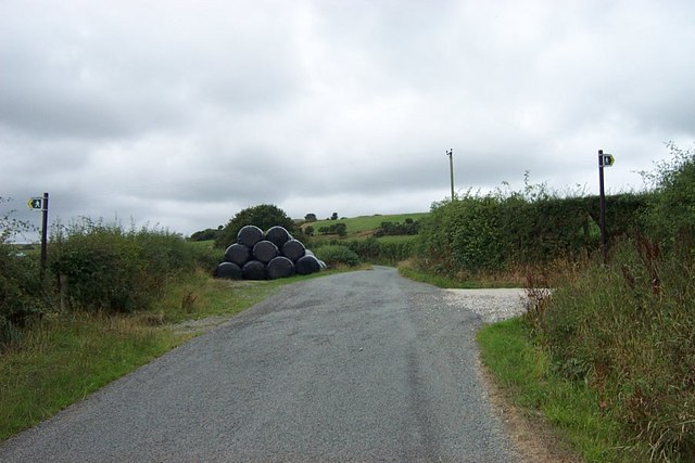
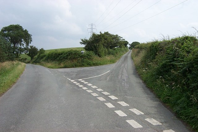
The surrounding countryside offers ample opportunities for outdoor enthusiasts. There are several walking and cycling trails that wind through the picturesque landscape, allowing visitors to explore the area's natural beauty. The nearby Clwydian Range, an Area of Outstanding Natural Beauty, is a popular destination for hikers and nature lovers.

Overall, Trofarth is a tranquil and idyllic village that offers a peaceful escape from the hustle and bustle of modern life. Its rich history, stunning scenery, and welcoming community make it a hidden gem in Denbighshire.

If you have any feedback on the listing, please let us know in the comments section below.

Trofarth Images

Images are sourced within 2km of 53.230445/-3.713368 or Grid Reference SH8571. Thanks to Geograph Open Source API. All images are credited.

Bodlondeb Farmland near Bodlondeb
Bodlondeb
Farmland near Bodlondeb
Mynydd Branar fields Sheep grazing land on the slopes of Mynydd Branar
Mynydd Branar fields
Sheep grazing land on the slopes of Mynydd Branar
Codau Mawr A cottage on a minor lane in the hills on Mynydd Brana
Codau Mawr
A cottage on a minor lane in the hills on Mynydd Brana
Fields near Codau Mawr Fields used for sheep grazing in the hills near to Codau Mawr
Fields near Codau Mawr
Fields used for sheep grazing in the hills near to Codau Mawr
Fields towards Trofarth Rolling fields leading towards the hamlet of Trofarth
Fields towards Trofarth
Rolling fields leading towards the hamlet of Trofarth
Bridle Path on Baron Hill Start of the bridle path which leads towards Dawn.
Bridle Path on Baron Hill
Start of the bridle path which leads towards Dawn.
Coed Coch lane One of many single track lanes that criss cross the area between farms and small hamlets
Coed Coch lane
One of many single track lanes that criss cross the area between farms and small hamlets
Bike break! My bike takes a break on a minor lane near Brynydd Branar
Bike break!
My bike takes a break on a minor lane near Brynydd Branar
Road Junction at Coed yr Ysgol near Trofarth The road junction at Coed yr Ysgol near Trofarth at SH 85613 71365.
Road Junction at Coed yr Ysgol near Trofarth
The road junction at Coed yr Ysgol near Trofarth at SH 85613 71365.
Gofer farm near Trofarth above Colwyn Bay Gofer farm lies just over a kilometre Northwest of Trofarth above Colwyn Bay at grid reference SH 84112 72625.
Gofer farm near Trofarth above Colwyn Bay
Gofer farm lies just over a kilometre Northwest of Trofarth above Colwyn Bay at grid reference SH 84112 72625.
Dual footpaths near Penoros Dual footpaths near Penoros North of Trofarth at SH 85506 72886.
Dual footpaths near Penoros
Dual footpaths near Penoros North of Trofarth at SH 85506 72886.
Trofarth Church Trofarth Church is at grid reference SH 85729 71798.
Trofarth Church
Trofarth Church is at grid reference SH 85729 71798.
Road Junction near Pen y Bryn Farm This road junction about a kilometre West of Trofarth near Pen y Bryn farm is atbgrid reference SH 84945 71350.
Road Junction near Pen y Bryn Farm
This road junction about a kilometre West of Trofarth near Pen y Bryn farm is atbgrid reference SH 84945 71350.
The view from Ty Mawr Gell
Landscaped ponds in a field
St John's Churchyard Graves with a view towards the North Wales sea coast.
St John's Churchyard
Graves with a view towards the North Wales sea coast.
St John's Church, Trofarth St. John's church was consecrated on 19 June 1873.
St John's Church, Trofarth
St. John's church was consecrated on 19 June 1873.
Transmission line The high voltage transmission line that leads from Wylfa power station runs parallel to the coast and is a major feature behind the coastal hills. This is the line that crosses the Bwlch y Ddeufaen as it skirts the northern Carneddau.
Transmission line
The high voltage transmission line that leads from Wylfa power station runs parallel to the coast and is a major feature behind the coastal hills. This is the line that crosses the Bwlch y Ddeufaen as it skirts the northern Carneddau.
Show me another place!

Trofarth is located at Grid Ref: SH8571 (Lat: 53.230445, Lng: -3.713368)

Unitary Authority: Conwy

Police Authority: North Wales

What 3 Words

///sinkhole.pint.unwanted. Near Mochdre, Conwy

Nearby Locations

Coed yr Ysgol Trofarth

Related Wikis

St John's Church, Trofarth

St John's Church, Trofarth, is a redundant church standing in an isolated position in Conwy County Borough, Wales (grid reference SH857718). It was designated...

Llyn Ty'n y Llyn

Llyn Ty'n y Llyn is a Site of Special Scientific Interest in the preserved county of Clwyd, north Wales. == See also == List of Sites of Special Scientific...

Coed Coch

Coed Coch, in Dolwen, Conwy, Wales, is a large 19th-century mansion in the neoclassical style, designed by the architect Henry Hakewill. The building...

Moelfre Uchaf

Moelfre Uchaf is a hill in the borough of Conwy, North Wales, 5 miles (8.0 km) south-east of Colwyn Bay and 1.5 mi (2.4 km) south-west of Betws-yn-Rhos...

Llangernyw

Llangernyw ([ɬanˈgɛrnɨ̞u] ) is a rural, mostly Welsh-speaking, village and community in Conwy County Borough, North Wales. == Overview == At the 2011 census...
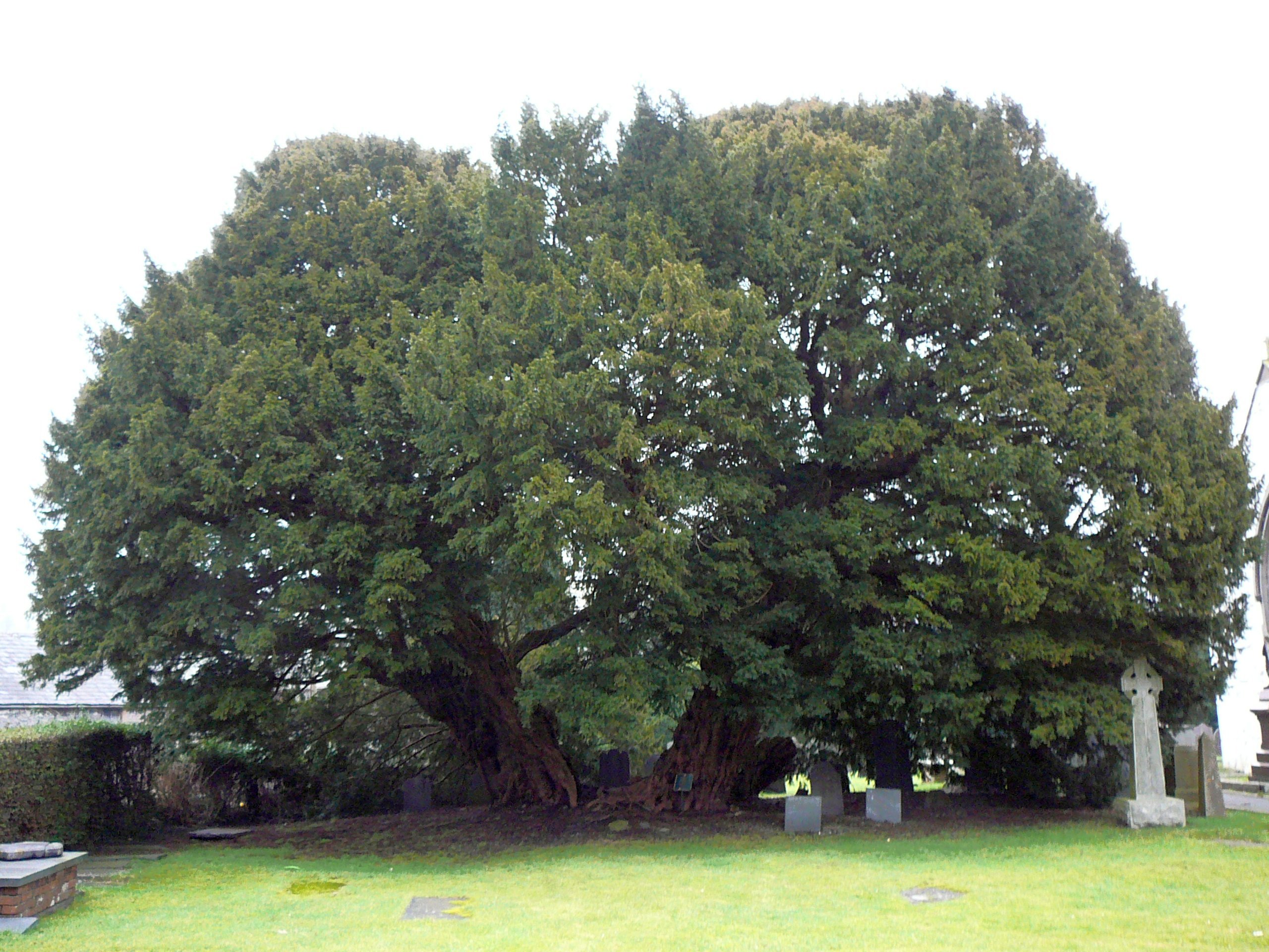
Llangernyw Yew

The Llangernyw Yew ([ɬanˈɡɛrnɨu] ) is an ancient yew (Taxus baccata) in the village of Llangernyw, Conwy, North Wales. The tree is fragmented and its core...

Conwy (UK Parliament constituency)

Conwy (Conway prior to 1983) was an electoral constituency represented in the House of Commons of the Parliament of the United Kingdom. It returned one...

Conwy (Assembly constituency)

Conwy was a constituency of the National Assembly for Wales from 1999 to 2007. It elected one Assembly Member by the first past the post method of election...

Nearby Amenities

Located within 500m of 53.230445,-3.713368
Power: tower
Lat/Long: 53.227932/-3.7158757
Power: tower
Lat/Long: 53.2285585/-3.7117227
Power: tower
Lat/Long: 53.2292505/-3.7095582
Power: tower
Lat/Long: 53.2303242/-3.7061654
Place: farm
Lat/Long: 53.2264313/-3.7164891
Trofarth
Place: village
Lat/Long: 53.2302022/-3.7124883
Power: pole
Lat/Long: 53.2314965/-3.7137607
Power: pole
Lat/Long: 53.2313162/-3.7146597
Power: pole
Lat/Long: 53.2313469/-3.7156777
Power: pole
Lat/Long: 53.2312924/-3.7163665
Power: pole
Lat/Long: 53.2312617/-3.7132026
Power: pole
Lat/Long: 53.2313693/-3.7127987
Power: pole
Lat/Long: 53.2316335/-3.71193
Entrance: yes
Lat/Long: 53.2310706/-3.7132097
Power: pole
Lat/Long: 53.2314411/-3.7108861
Power: pole
Lat/Long: 53.2313046/-3.7100573
Grit Bin
Lat/Long: 53.2308826/-3.7095842
Power: pole
Lat/Long: 53.2309762/-3.7174652
Power: pole
Lat/Long: 53.2306599/-3.7185595
Power: pole
Lat/Long: 53.2302826/-3.719906
The data included in this document is from www.openstreetmap.org. The data is made available under ODbL.

Have you been to Trofarth?

Leave your review of Trofarth below (or comments, questions and feedback).