Boundary

Settlement in Staffordshire Staffordshire Moorlands

England

Boundary

The Red Lion At Boundary
The Red Lion At Boundary Credit: John Cartlidge

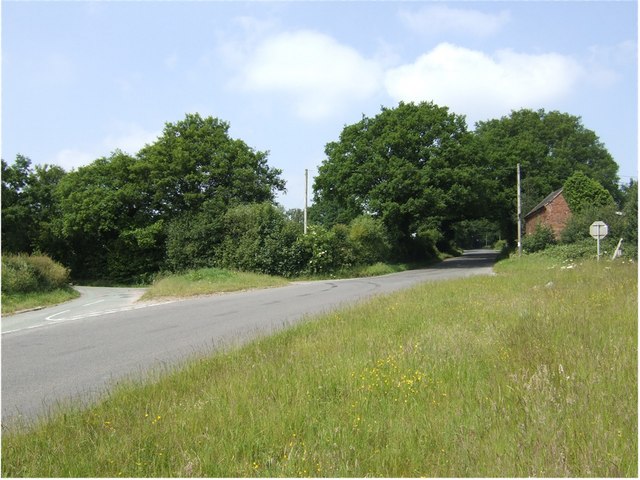
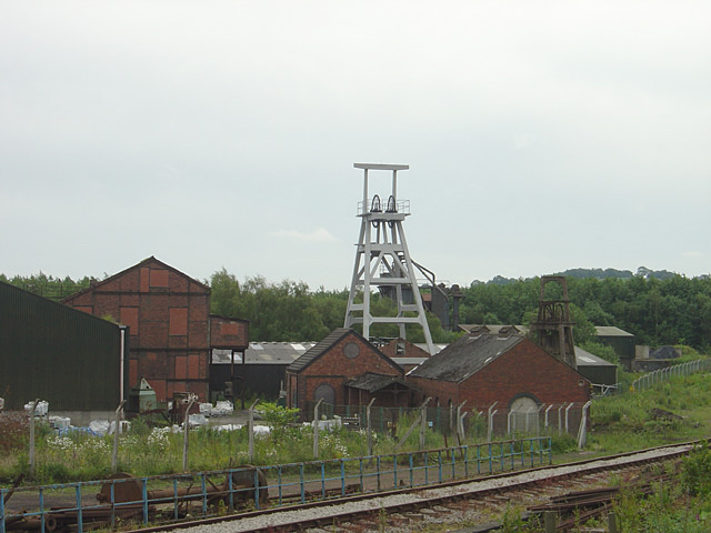
Boundary is a small village located in the county of Staffordshire, England. Situated near the towns of Burton upon Trent and Uttoxeter, Boundary is a rural community that offers a tranquil and picturesque setting for its residents and visitors.

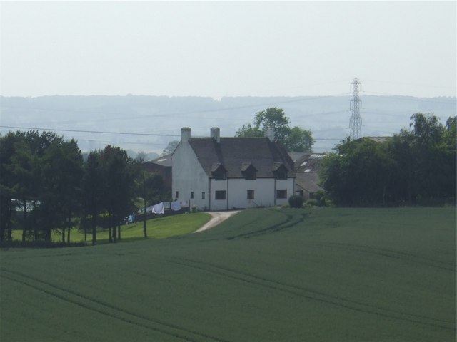
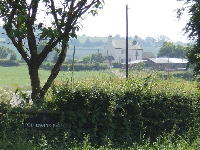
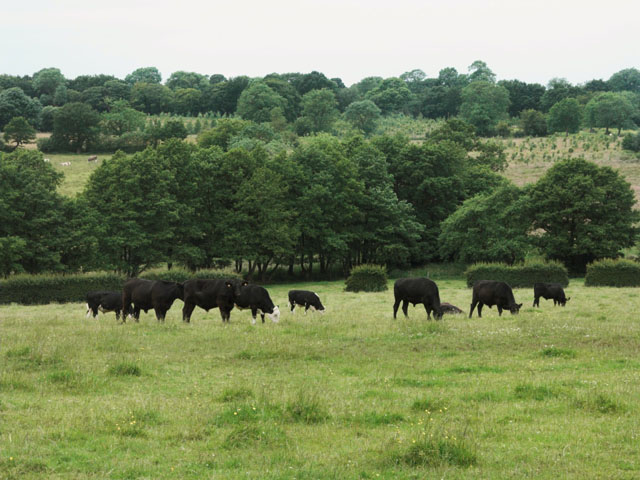
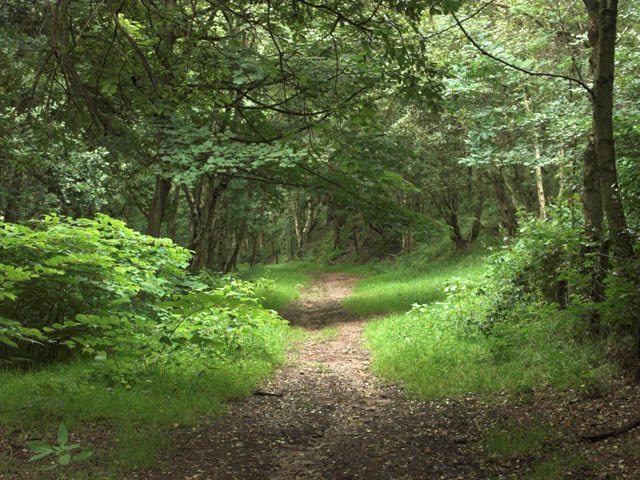
The village is known for its charming countryside, with rolling hills and lush green fields surrounding the area. It is a popular destination for outdoor enthusiasts, offering ample opportunities for walking, hiking, and cycling. The nearby River Dove also provides a scenic spot for fishing and boating.

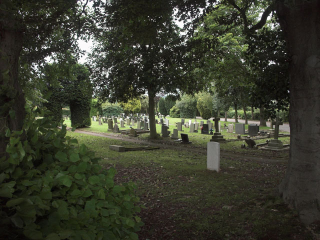
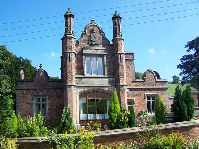
Despite its small size, Boundary has a rich history dating back centuries. There are several historic buildings and landmarks in the village, including St. John the Baptist Church, which has a Norman tower and dates back to the 12th century. The church is a focal point of the community and holds regular services and events.

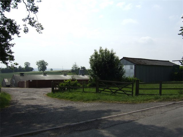
Boundary has a close-knit community, with friendly and welcoming residents. It has a small primary school, serving the local children, and a village hall that hosts various social activities and events throughout the year. Many residents also participate in the local farming industry, which is an integral part of the village's economy.

In terms of amenities, Boundary has a few small shops and local businesses, providing essential goods and services to its residents. For more extensive shopping and entertainment options, the larger towns of Burton upon Trent and Uttoxeter are just a short drive away.

Overall, Boundary offers a peaceful and idyllic countryside living experience, with a strong sense of community and a rich historical heritage.

If you have any feedback on the listing, please let us know in the comments section below.
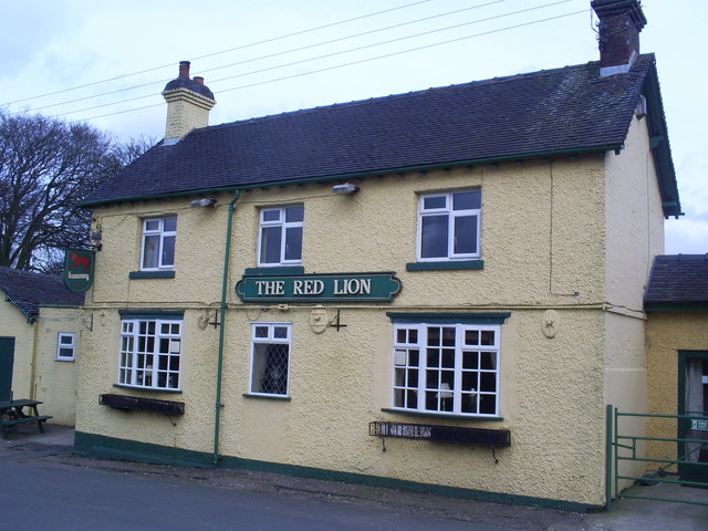
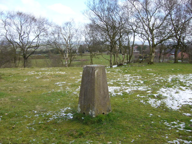
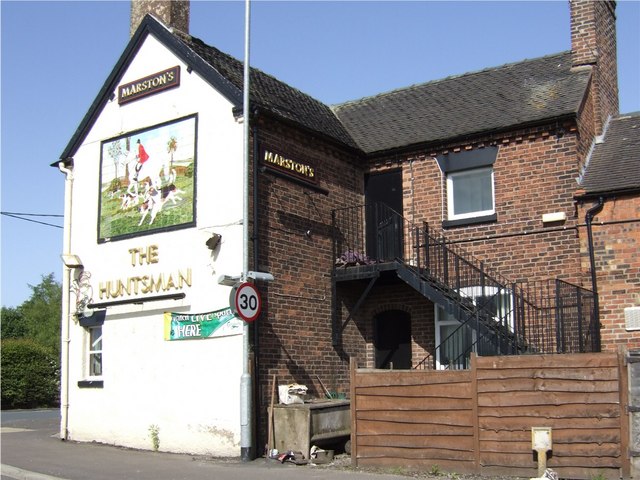
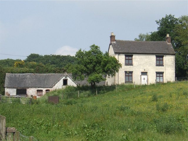
Boundary Images

Images are sourced within 2km of 52.980182/-2.029904 or Grid Reference SJ9842. Thanks to Geograph Open Source API. All images are credited.

The Red Lion At Boundary
Dilhorne trig
Dilhorne trig
The Huntsman The Huntsman, Brookhouses
The Huntsman
The Huntsman, Brookhouses
Farm, Coneygreaves
Farm, Coneygreaves
Road Junction at Draycott Cross
Wayside Farm Wayside Farm is also known as Wayside Kennels.
Wayside Farm
Wayside Farm is also known as Wayside Kennels.
Fields Farm
Fields Farm
Old Engine Farm The area around this farm was extensively mined for coal. In the 1770s, two Newcomen-type steam engines, known as "fire engines", were built to pump water from a nearby mine.
Old Engine Farm
The area around this farm was extensively mined for coal. In the 1770s, two Newcomen-type steam engines, known as "fire engines", were built to pump water from a nearby mine.
Crossing Gate on the Foxfield Steam Railway The Foxfield Railway was built in 1892-1893 to provide a link to the national railway network for the Foxfield Colliery. It is now a preserved steam railway run by the Foxfield Light Railway Society.
Crossing Gate on the Foxfield Steam Railway
The Foxfield Railway was built in 1892-1893 to provide a link to the national railway network for the Foxfield Colliery. It is now a preserved steam railway run by the Foxfield Light Railway Society.
Houses at Boundary from Commonside
Light industry on the edge of Cheadle
Drinking trough and ponds near Brookhouses
Fishing lakes In the background are the massed products of the nearby JCB factory.
Fishing lakes
In the background are the massed products of the nearby JCB factory.
Forsbrook Cemetery The first burial at this relatively modern cemetery was in December 1903.
Forsbrook Cemetery
The first burial at this relatively modern cemetery was in December 1903.
Callow Hill Farm
Callow Hill Farm
Farmland near Field House
Foxfield Railway south of Caverswall Road crossing The railway was built in 1892-3 to connect Foxfield colliery to the outside world. The colliery closed in 1965. The railway is now operated by enthusiasts most weekends May to October.
Foxfield Railway south of Caverswall Road crossing
The railway was built in 1892-3 to connect Foxfield colliery to the outside world. The colliery closed in 1965. The railway is now operated by enthusiasts most weekends May to October.
Woodland track
Woodland track
Show me another place!

Boundary is located at Grid Ref: SJ9842 (Lat: 52.980182, Lng: -2.029904)

Administrative County: Staffordshire

District: Staffordshire Moorlands

Police Authority: Staffordshire

What 3 Words

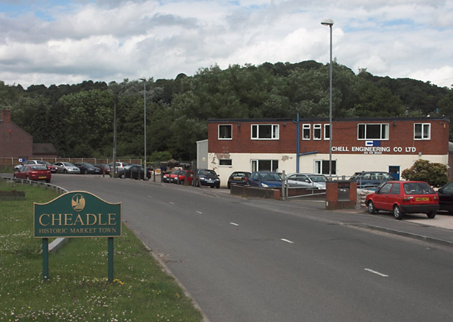
///sourced.acclaimed.foreheads. Near Cheadle, Staffordshire

Nearby Locations

Boundary

Related Wikis

Boundary, Staffordshire

Boundary is a village in the civil parish of Forsbrook, in the Staffordshire Moorlands district, in the county of Staffordshire, England, near to the town...

Dilhorne Hall

Dilhorne Hall located in Dilhorne, Staffordshire, England, was the ancestral home of the Buller family. == History == The Hall occupied an area of approximately...

Dilhorne

Dilhorne is an ancient parish and village in Staffordshire, three miles from Cheadle and six miles from Stoke-on-Trent. The village is within the Staffordshire...

Forsbrook Pendant

The Forsbrook Pendant is a piece of Anglo Saxon jewellery found in Forsbrook, Staffordshire, England and sold to the British Museum in 1879. It is a 7th...

Forsbrook

Forsbrook is a village in Staffordshire, around three miles southwest of Cheadle and situated on the edge of the Staffordshire Moorlands. It is an old...
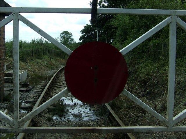
Foxfield Railway

The Foxfield Railway is a preserved standard gauge line located south east of Stoke-on-Trent. The line was built in 1893 to serve the colliery at Dilhorne...

Caverswall Road railway station

Caverswall Road railway station is a heritage railway station on the Foxfield Railway in Staffordshire. It serves as the centre of the railway's operations...

Cheadle railway station

Cheadle railway station served the town of Cheadle, Staffordshire, England. It was the terminus of a branch line from Cresswell and opened in 1901. �...

Nearby Amenities

Located within 500m of 52.980182,-2.029904
Bus Stop
Boundary Crossroads
Bus: yes
Naptan AtcoCode: 3800C803000
Naptan Bearing: SW
Naptan CommonName: Boundary Crossroads
Naptan Indicator: Adj
Naptan Landmark: Crossroads
Naptan PlusbusZoneRef: STOKEOT
Naptan Street: Cheadle Rd (SW)
Naptan Verified: no
Public Transport: platform
Source: naptan_import
Lat/Long: 52.9819164/-2.0297892
Bus Stop
Boundary Crossroads
Bus: yes
Naptan AtcoCode: 3800C803001
Naptan Bearing: NE
Naptan CommonName: Boundary Crossroads
Naptan Indicator: Adj
Naptan Landmark: Crossroads
Naptan PlusbusZoneRef: STOKEOT
Naptan Street: Cheadle Road (NE)
Naptan Verified: no
Public Transport: platform
Source: naptan_import
Lat/Long: 52.9821052/-2.0296552
Cheadle Road
Naptan AtcoCode: 3800C836701
Naptan Bearing: N
Naptan BusStopType: CUS
Naptan CommonName: Cheadle Road
Naptan Indicator: Adj
Naptan Landmark: Cheadle Rd
Naptan PlusbusZoneRef: STOKEOT
Naptan Street: The Common
Naptan Verified: no
Source: naptan_import
Lat/Long: 52.982222/-2.0299979
Crossways
Naptan AtcoCode: 3800C836702
Naptan Bearing: S
Naptan BusStopType: CUS
Naptan CommonName: Crossways
Naptan Indicator: Adj
Naptan Landmark: Crossways
Naptan PlusbusZoneRef: STOKEOT
Naptan Street: The Common
Naptan Verified: no
Source: naptan_import
Lat/Long: 52.9821591/-2.0298489
Pub
The Red Lion
Lat/Long: 52.981394/-2.0298076
Boundary
Place: village
Lat/Long: 52.9803721/-2.0298801
Post Box
Post Box Mounting: brick_pillar
Post Box Type: wall
Lat/Long: 52.9817838/-2.0298738
Booth: K6
Covered: booth
Disused Amenity: telephone
Man Made: telephone_box
Lat/Long: 52.9821232/-2.0298448
The data included in this document is from www.openstreetmap.org. The data is made available under ODbL.

Have you been to Boundary?

Leave your review of Boundary below (or comments, questions and feedback).